The best gravel rides in Żarno
4.5
(33)
649
riders
88
rides
Gravel biking in Żarno offers extensive trail networks within a mountainous and forested landscape, primarily in the Izera Mountains. The region is characterized by diverse terrain, including gentle elevation gains suitable for various skill levels. These natural features provide a blend of engaging routes for gravel cyclists. The area is known for its unspoiled natural environment, offering varied riding conditions.
Best gravel bike trails in Żarno
- The most popular gravel bike trail is Dookoła Kwisy Trail, a 22.3 miles…
Last updated: July 8, 2026
4.3
(3)
71
riders
35.9km
03:39
940m
940m
Hard gravel ride. Very good fitness required. You may need to push your bike for some segments of this route.
19
riders
Hard gravel ride. Very good fitness required. Mostly paved surfaces. Suitable for all skill levels.

Sign up for free
3.0
(1)
11
riders
25.8km
02:04
380m
380m
Moderate gravel ride. Good fitness required. Mostly paved surfaces. Suitable for all skill levels.
4
riders
26.5km
01:53
540m
540m
Hard gravel ride. Very good fitness required. You may need to push your bike for some segments of this route.
5.0
(1)
13
riders
Moderate gravel ride. Good fitness required. Mostly paved surfaces. Suitable for all skill levels.
Get access to more routes and recommendations from other explorers.
Sign up for free
Already have an account?
Our route recommendations are based on thousands of hikes, rides, and runs completed by other people on komoot.
Start today with a free account
Your next adventure awaits.
Login or Signup
Tips from the Community

Place with lots of information.
3
0
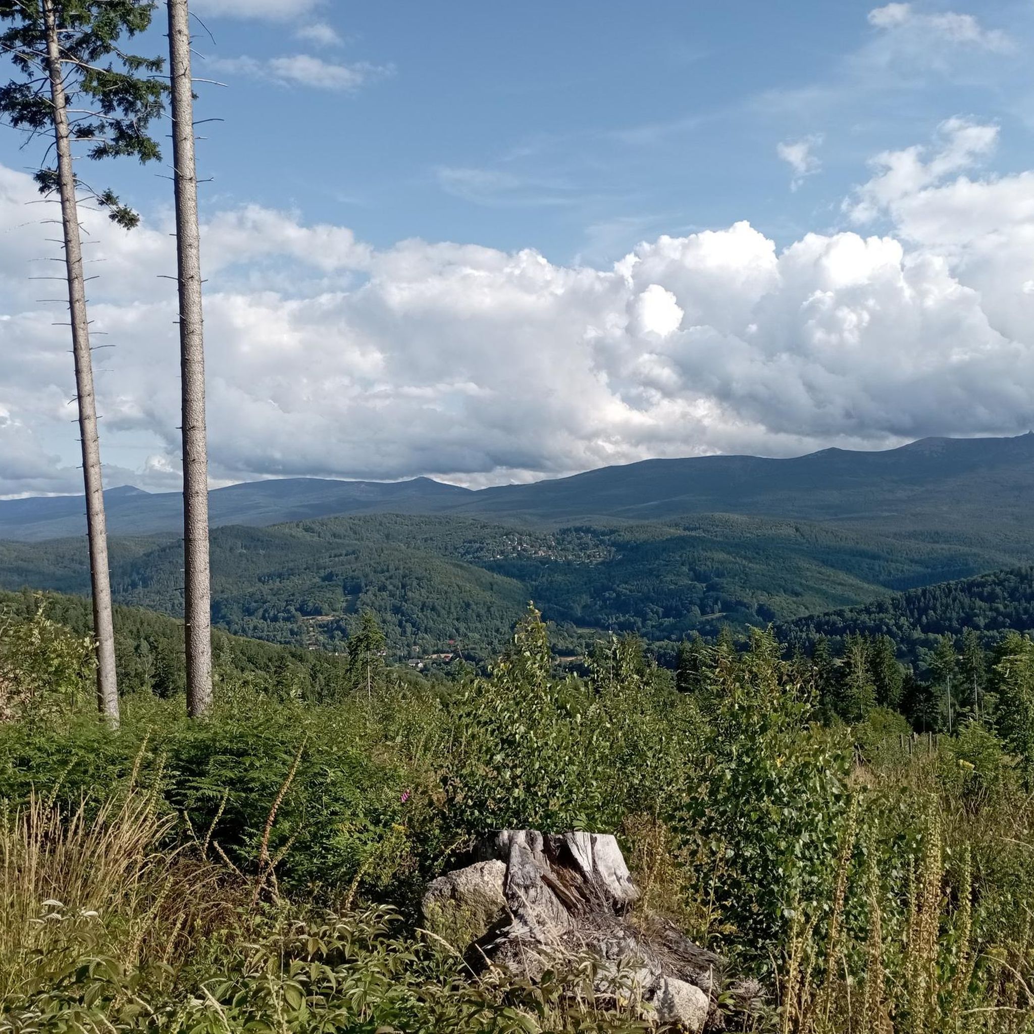
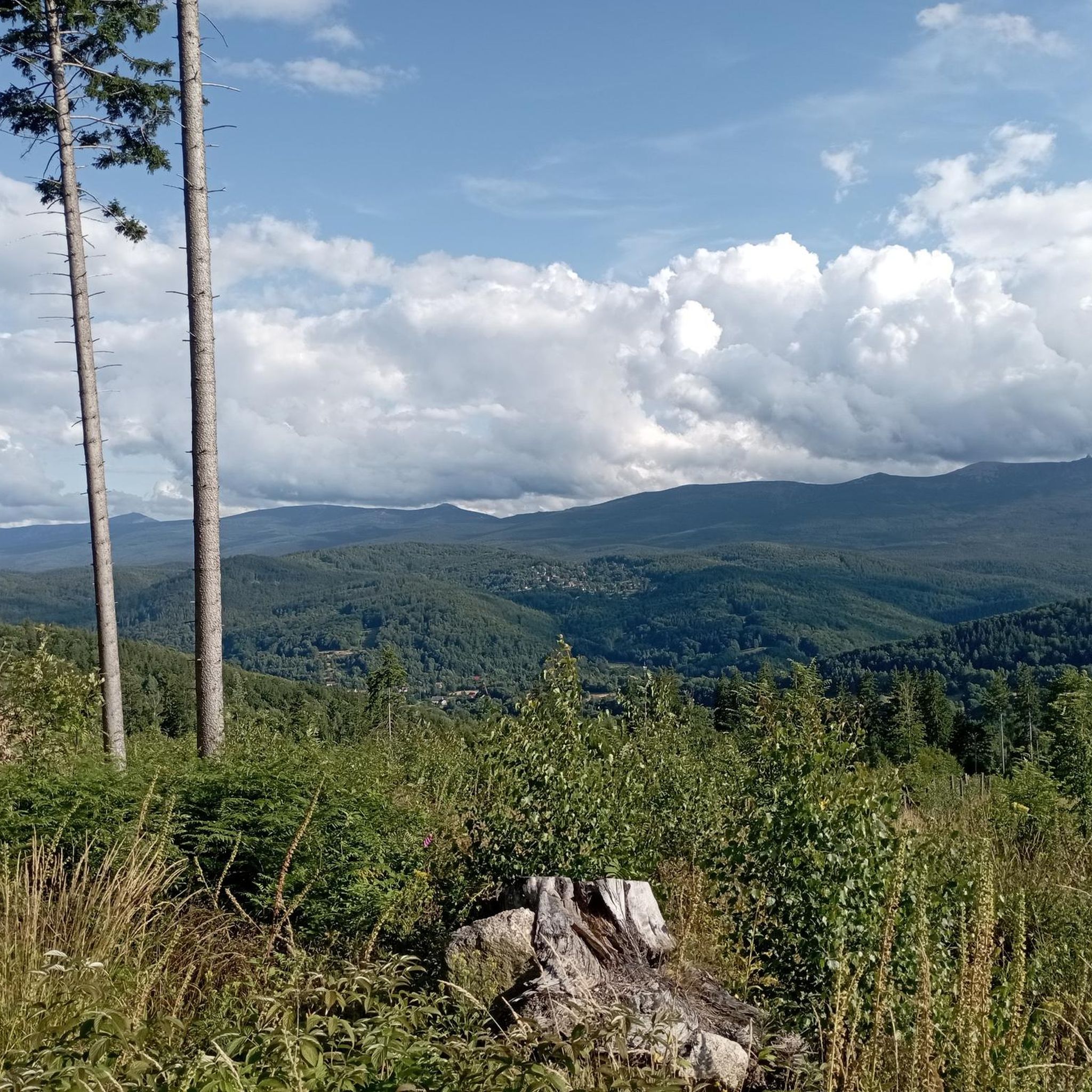
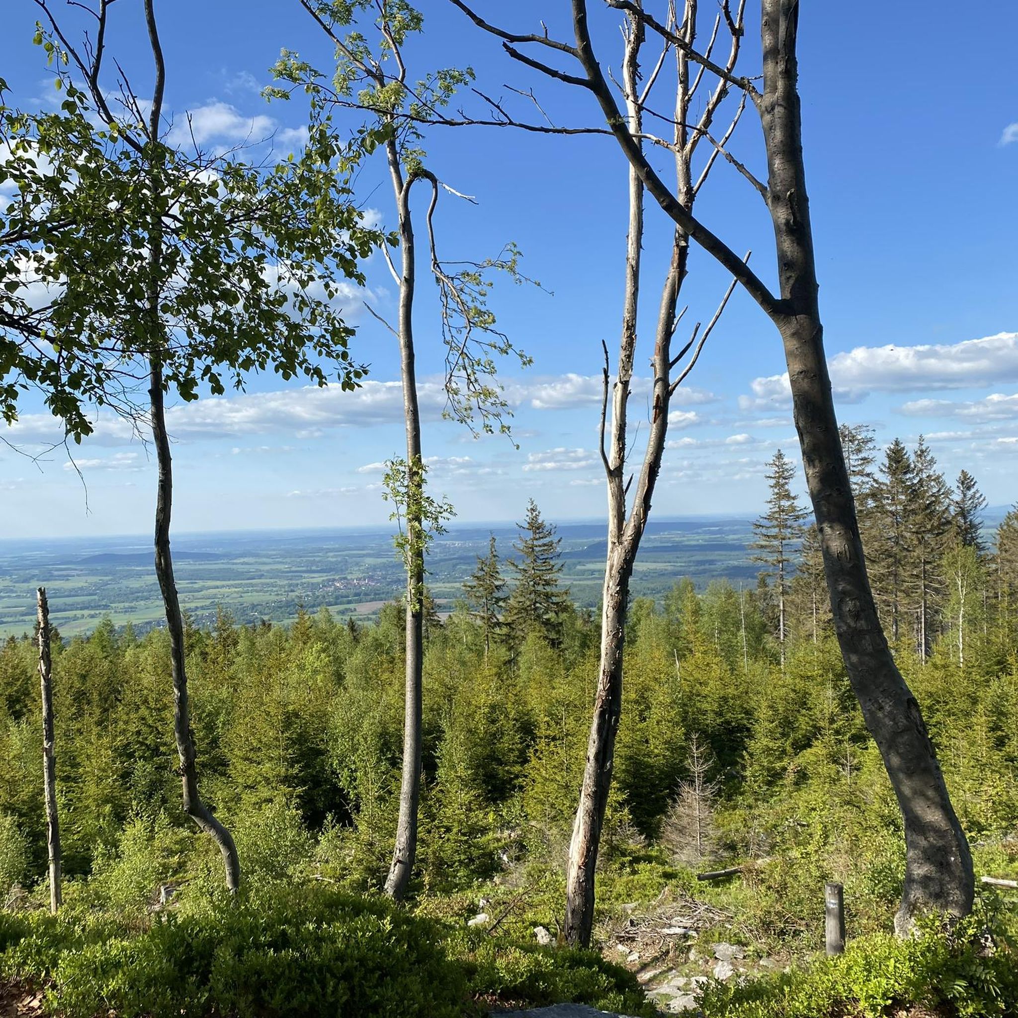
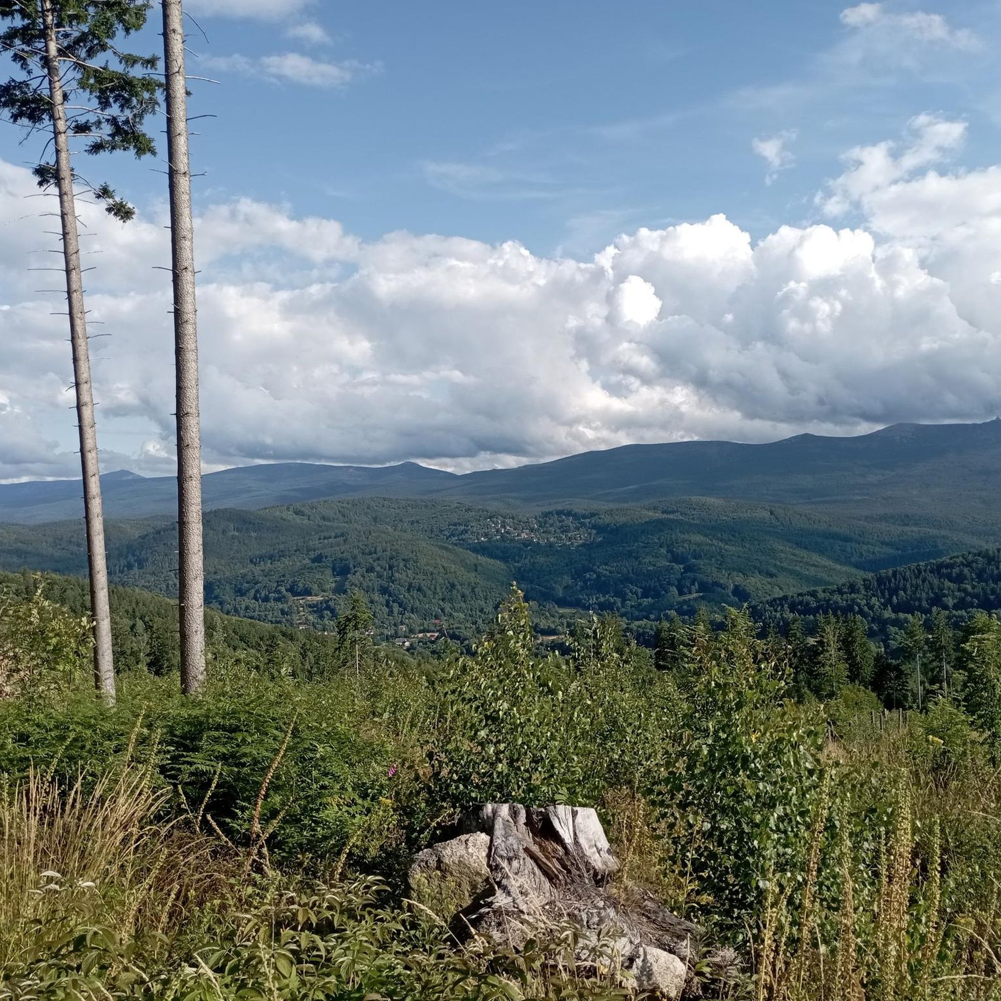
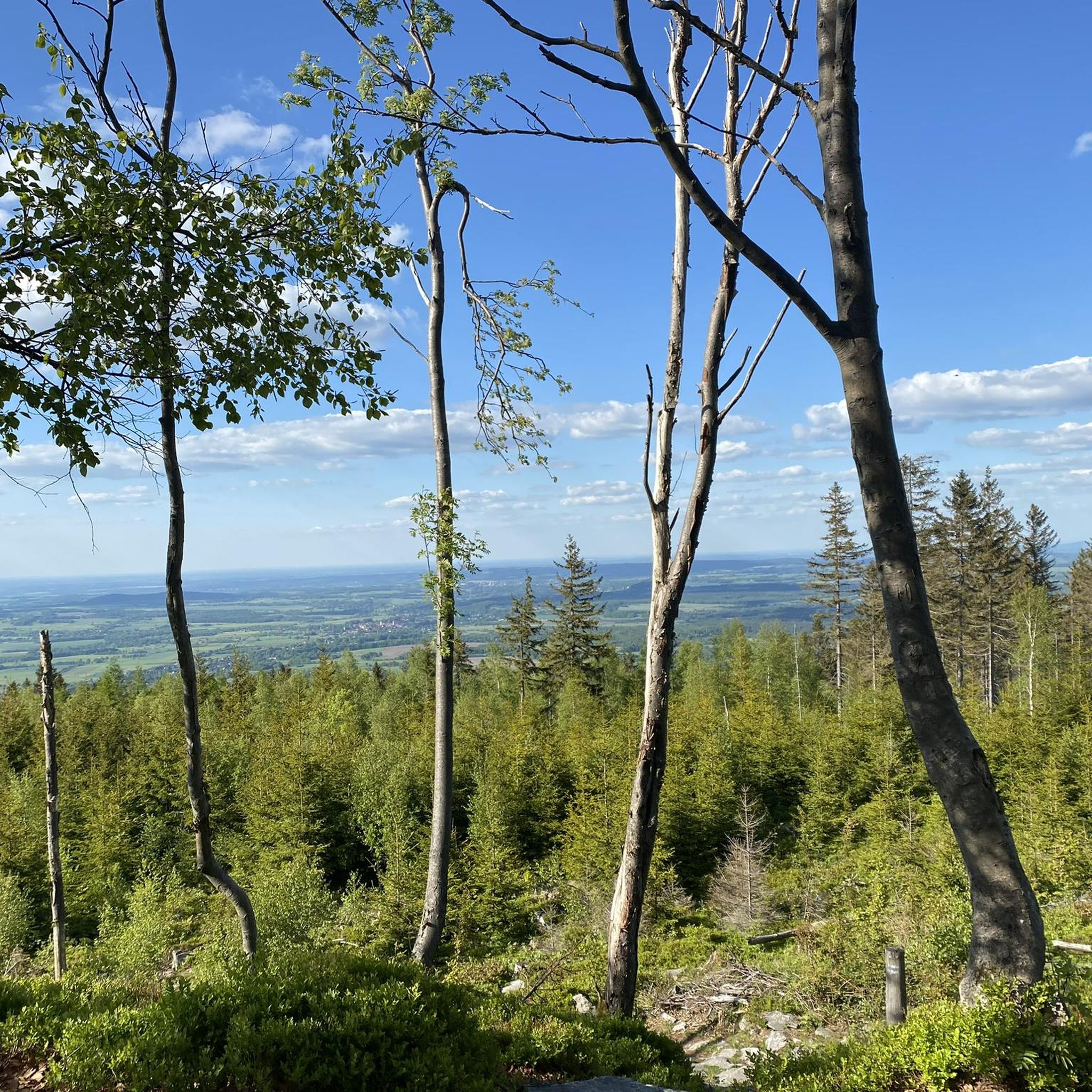
Place with a good view.
1
0

In distant times, there was most likely an iron bridge here - hence the current name. Unfortunately, it is not iron now, only concrete. A beautiful mountain reservoir, where it is pleasant to relax.
0
0
Water collection point on the Kamienica stream
0
0

At 1,362 meters, the Szrenica (German: Reifträger) is a prominent peak in the western part of the Giant Mountains and is part of their main ridge. Since the border between Poland and the Czech Republic runs south of the main ridge at this point, the peak lies on Polish territory. Like the peaks of many other mountains in the Giant Mountains, the peak consists of the remains of ancient granite rocks that form impressive scree slopes. Interesting rock formations can be found on its slopes, including the Horse Headstones (Końskie Łby) and the Pig Stones (Trzy Świnki). The Szrenica is the local mountain of Szklarska Poręba (Schreiberhau) and the center of the Szrenica Ski Arena, the largest ski area in the Polish part of the Giant Mountains. A two-seater chairlift leads from the town to the summit in two stages. At the summit are the Schronisko na Szrenicy (Reifträgerbaude) and a meteorological observation station of the University of Wrocław. On the pristine Szrenicka (Hala Szrenicka) border meadow on the northwest slope of the Reifträger, at an altitude of 1,200 meters, stands the PTTK mountain hut "Schronisko na Hali Szrenickiej," which roughly translates as "Hostel on the Reifträger Meadow," the successor to the "Neue Schlesische Baude."
0
0

Inside there is a very nice model railway. It is started by the staff
1
0

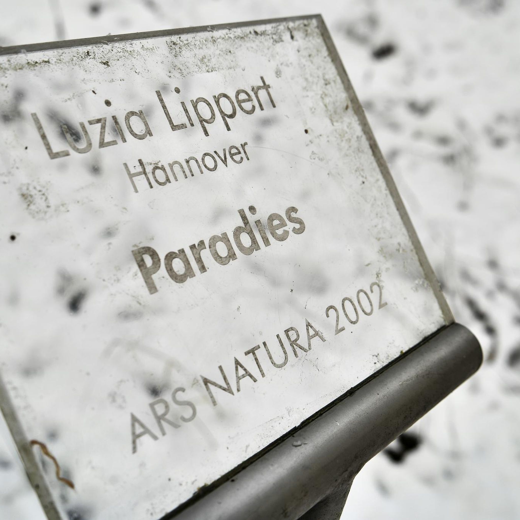
The idea is great: a bench, as is a bench: sit down. But behind it there is information, very nicely presented, about the flora and fauna of these forests - an interesting and unusual idea. Don't sit idly: learn!
1
0
A great place to rest in the middle of a mad singletrack ride. Large open area, benches, comfortable places to rest your bike. From here there are many paths to choose from, where to continue, and there are plenty of signs so you know where you are going next.
0
0
Frequently Asked Questions
How many gravel bike trails are available in Żarno?
Żarno, particularly within the Izera Mountains, offers an extensive network of gravel bike trails. You'll find over 90 routes to explore, catering to various skill levels and preferences.
What is the overall difficulty level of gravel biking in Żarno?
The gravel biking trails in Żarno present a diverse range of difficulties. While there are a few easier routes, the majority are classified as moderate or difficult, featuring significant elevation gains and varied terrain through mountainous and forested landscapes. For example, the Dookoła Kwisy Trail is considered difficult due to its substantial climb.
What do other gravel bikers say about the trails in Żarno?
The gravel biking experience in Żarno is highly regarded by the komoot community, with routes receiving an average rating of 4.6 out of 5 stars from over 20 reviews. More than 600 gravel bikers have used komoot to explore the region, often praising the extensive trail networks and the unspoiled natural environment of the Izera Mountains.
When is the best time of year to go gravel biking in Żarno?
The Izera Mountains are known for their 'harsh climate and incredible atmosphere,' suggesting that spring, summer, and early autumn generally offer the most favorable conditions for gravel biking. During these seasons, you can best enjoy the diverse landscapes and extensive trail networks. Winter can bring challenging conditions, including snow and ice.
Are there any loop gravel bike trails in Żarno?
Yes, several gravel bike trails in Żarno are designed as loops, allowing you to start and finish at the same point. Examples include the Singltrek Pod Smrkem – Entry Trail (1.8 km) loop from Świeradów-Zdrój and the Singltrek Pod Smrkem – Zajęcznik Forest Trail loop from Świeradów-Zdrój, both offering engaging rides through the Izera Mountains.
What natural features or viewpoints can I expect to see along the gravel bike trails in Żarno?
The region is rich in natural beauty and offers several stunning viewpoints. You can visit Vulture Mountain (Geierstein) for beautiful views of the Jizera foothills, or the Viewpoint above Zakręt Śmierci (Death Bend) for panoramic vistas of the Giant Mountains ridge. The Saint Wolfgang's Spring is a tranquil natural monument nestled in the forest.
Are there any historical or unique points of interest accessible by gravel bike?
Yes, the Izera Mountains offer unique historical sites. You can explore the area around the former Gross-Iser settlement on Hala Izerska to delve into the region's history. While not directly on a route, the inactive Stanisław Quartz Mine at 1,050 meters above sea level is another fascinating historical site in the vicinity.
Are there any waterfalls along the gravel bike trails in Żarno?
Yes, you can encounter natural waterfalls in the area. The Poidło Waterfall is a notable natural monument that can be found within the region, offering a refreshing stop during your ride.
Are there any routes suitable for beginners or families?
While many routes in Żarno are moderate to difficult, there are options suitable for those seeking a less strenuous ride. The region's diverse terrain includes gentle elevation gains, making it possible to find paths that are more accessible for beginners or families. Look for routes specifically marked as 'easy' in the komoot guide.
Is there parking available near the gravel bike trails in Żarno?
While specific parking locations are not detailed for every trail, Żarno and the surrounding Izera Mountains region are popular for outdoor activities. You can generally find designated parking areas in towns like Świeradów-Zdrój or near popular trailheads, serving as convenient starting points for your gravel biking adventures.
Can I reach the gravel bike trails in Żarno using public transport?
The Izera Mountains region, including areas around Żarno, has some public transport connections to larger towns. However, direct access to all trailheads via public transport might be limited. It's advisable to check local bus schedules to nearby towns like Świeradów-Zdrój, which often serve as gateways to the trail networks.
Are there any places to stop for refreshments or food along the trails?
The region offers opportunities for breaks. For instance, if your route takes you towards the Czech side, the picturesque village of Jizerka is known for places like Chatka Górzystów, where you can enjoy local treats like pancakes. In general, towns and villages near the trail networks will have cafes and pubs.
Are there any trails that offer views of the Izera Dark Sky Park?
The Izera Dark Sky Park is a significant feature of the region, known for its unspoiled natural environment and excellent opportunities for stargazing. While specific daytime gravel routes might not be explicitly named for their views of the park, many trails within the Izera Mountains traverse areas that are part of or adjacent to the park, offering a sense of its vast, unpolluted natural landscape.
Most popular routes in Żarno
Most popular attractions in Żarno

Get inspired with the komoot mobile app


Explore more
Browse the best Gravel rides in other regions.
