The best gravel rides in Stanglettenschütt
4.6
(437)
2,448
riders
195
rides
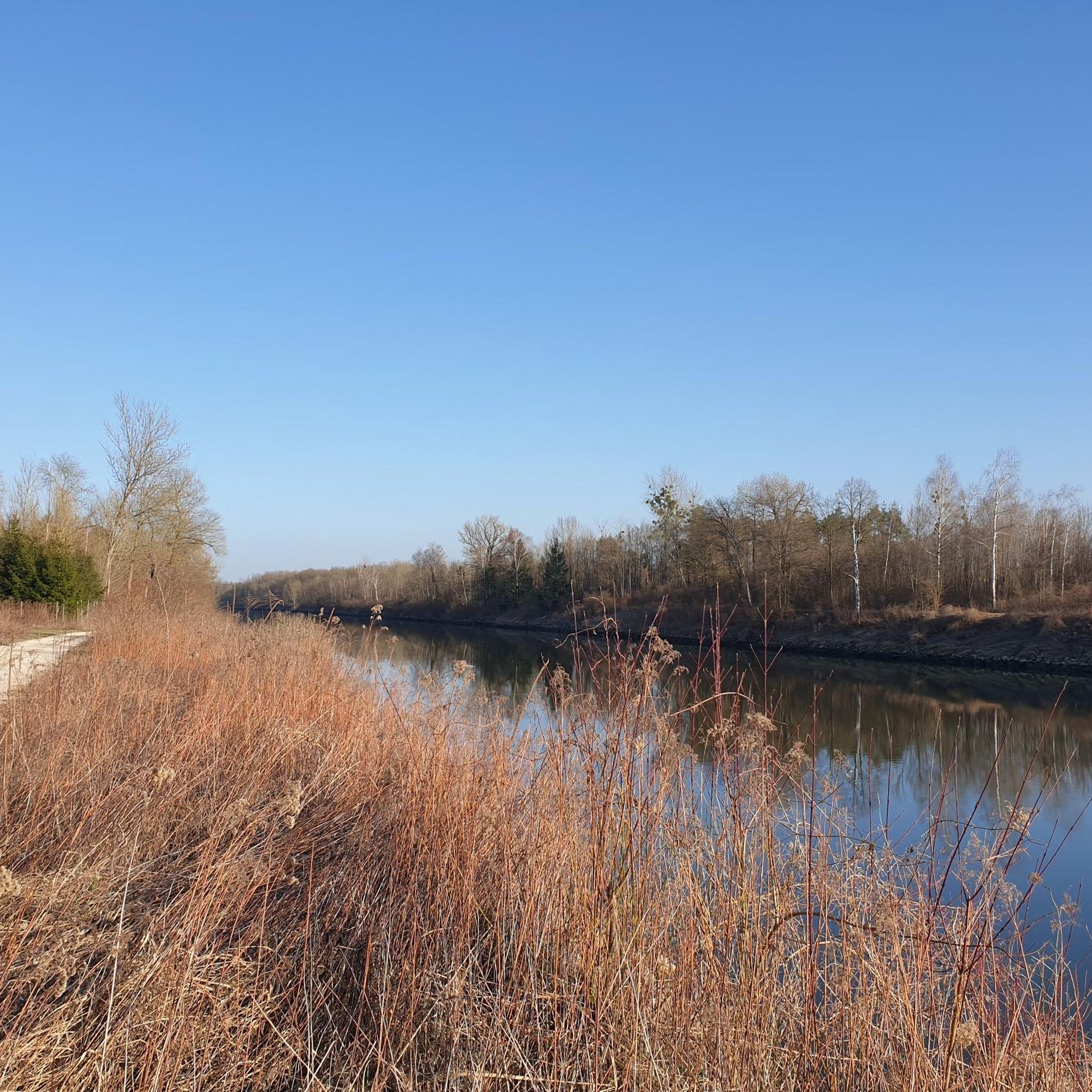
Gravel biking in Stanglettenschütt offers routes through the extensive Danube Floodplain Forest, characterized by its alluvial forests and revitalized wetland ecosystems. The region features a network of paths and trails, including those along the Danube and through areas like the Jackl-Brenne Biotope. The terrain provides varied surfaces, from shaded forest paths to open sections along waterways, suitable for gravel cycling. The landscape is generally flat with gentle ascents, making it accessible for diverse skill levels.
Best gravel bike trails in Stanglettenschütt
- The most popular gravel bike trail is Danube Embankment Path – Ingolstadt Weir Crossing loop from Süd, an easy 20.1 miles (32.4 km) trail that takes 1 hour 35 minutes to complete. This route follows the Danube embankment, providing riverside views and varied terrain.
- Another top favourite among local gravel bikers is The Paar River – Ingolstadt Weir Crossing loop from Gerolfing, a moderate 25.5 miles (41.0 km) path. This route explores the Paar River area with varied surfaces.
- Local gravel bikers also love the Grünau Castle – Avenue to Grünau Hunting Lodge loop from Bergheim, a 23.2 miles (37.4 km) trail leading through historical landscapes and natural areas, often completed in about 1 hour 50 minutes.
- Gravel biking in Stanglettenschütt is defined by extensive alluvial forests, wetland biotopes, and riverside paths. The network offers options for different ability levels, from easy loops to more moderate distances.
- The routes in Stanglettenschütt are highly rated by the komoot community with an average score of 4.5 stars from over 380 reviews. More than 2300 gravel bikers have used komoot to explore Stanglettenschütt's varied terrain.
Last updated: July 3, 2026
4.6
(23)
124
riders
32.4km
01:36
60m
60m
Easy gravel ride. Great for any fitness level. Mostly paved surfaces. Suitable for all skill levels.
5.0
(1)
10
riders
16.2km
00:47
20m
20m
Easy gravel ride. Great for any fitness level. Mostly paved surfaces. Suitable for all skill levels.

Sign up for free
8
riders
41.1km
02:09
80m
80m
Moderate gravel ride. Good fitness required. Mostly paved surfaces. Suitable for all skill levels.
4.6
(5)
24
riders
Easy gravel ride. Great for any fitness level. Mostly paved surfaces. Suitable for all skill levels.
4.4
(5)
23
riders
9.45km
00:29
20m
20m
Easy gravel ride. Great for any fitness level. Mostly paved surfaces. Suitable for all skill levels.
Get access to more routes and recommendations from other explorers.
Sign up for free
Already have an account?
Our route recommendations are based on thousands of hikes, rides, and runs completed by other people on komoot.
Start today with a free account
Your next adventure awaits.
Login or Signup
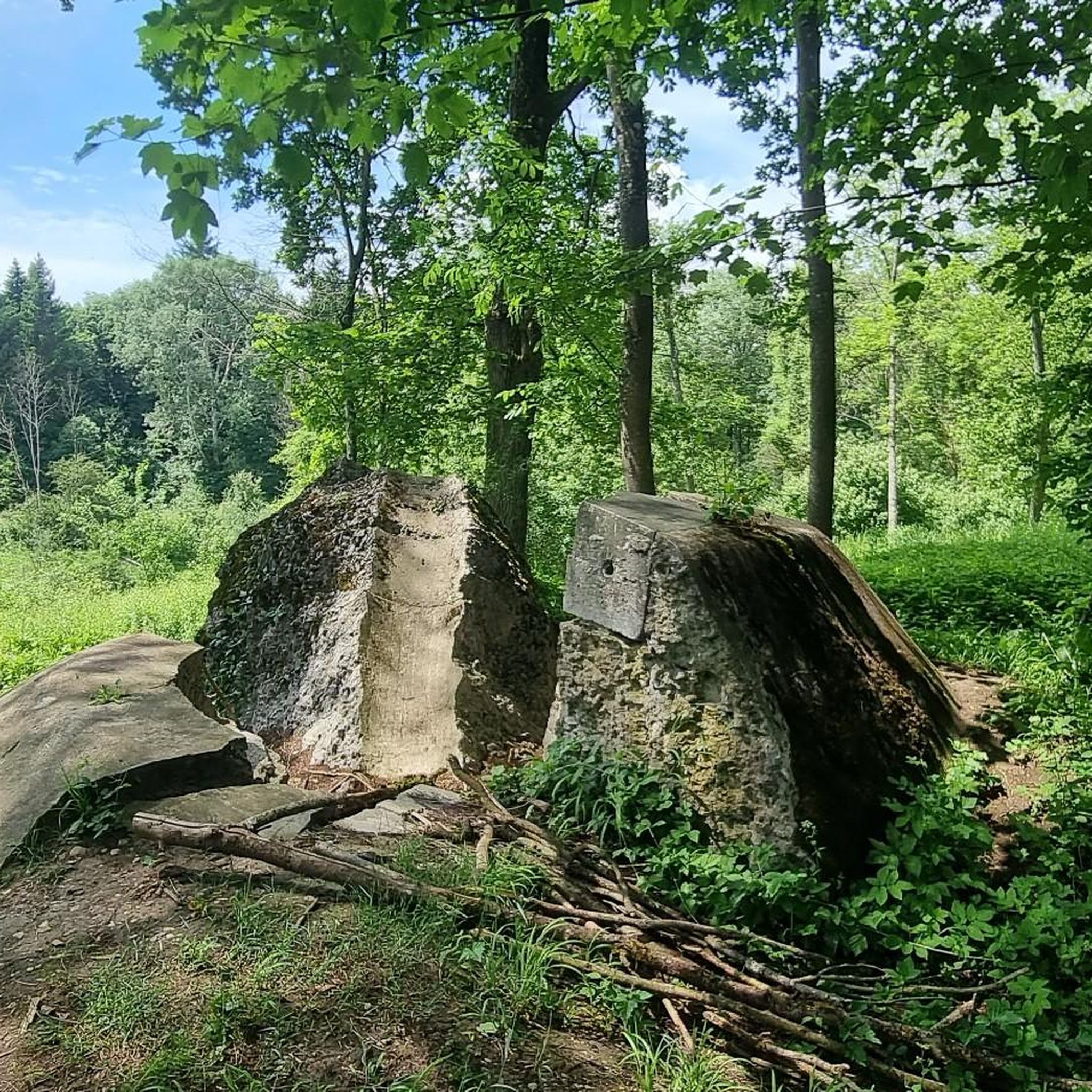
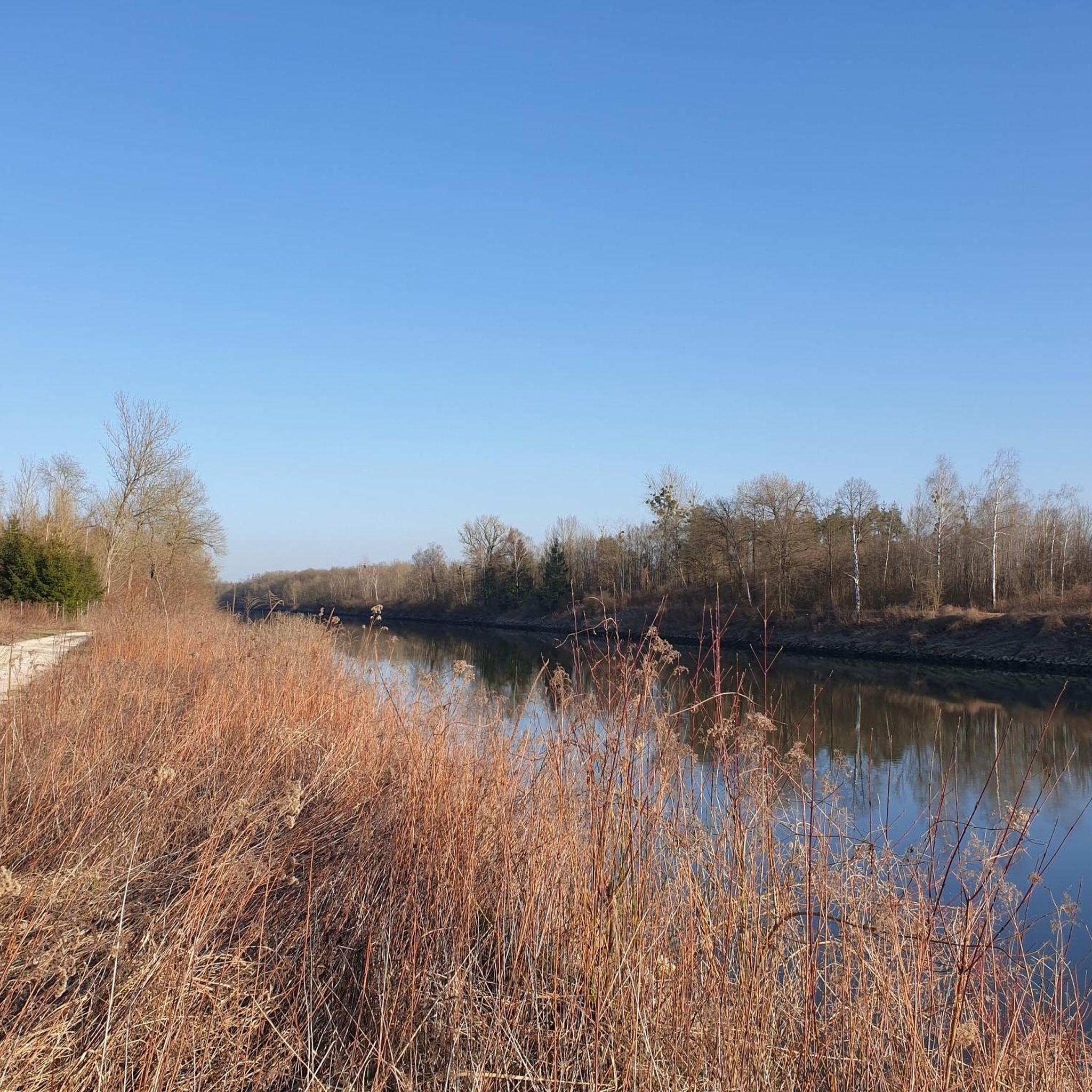
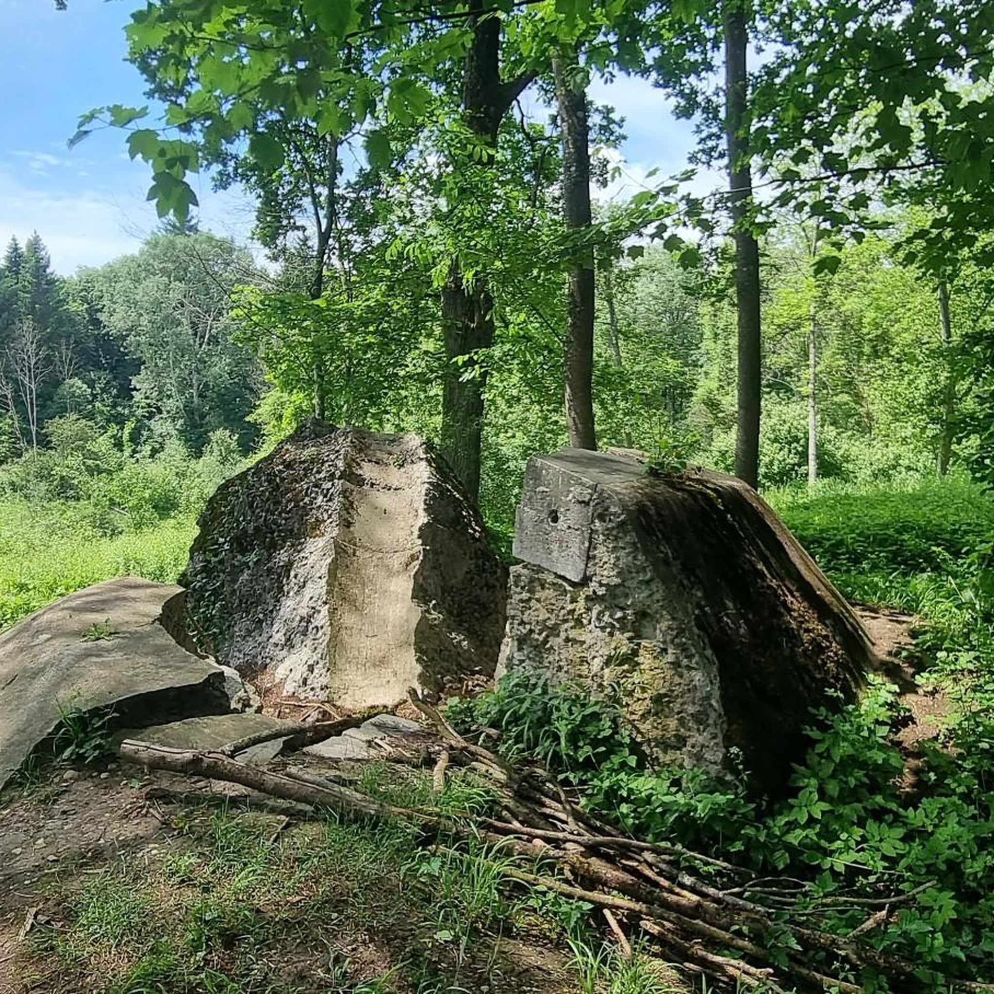
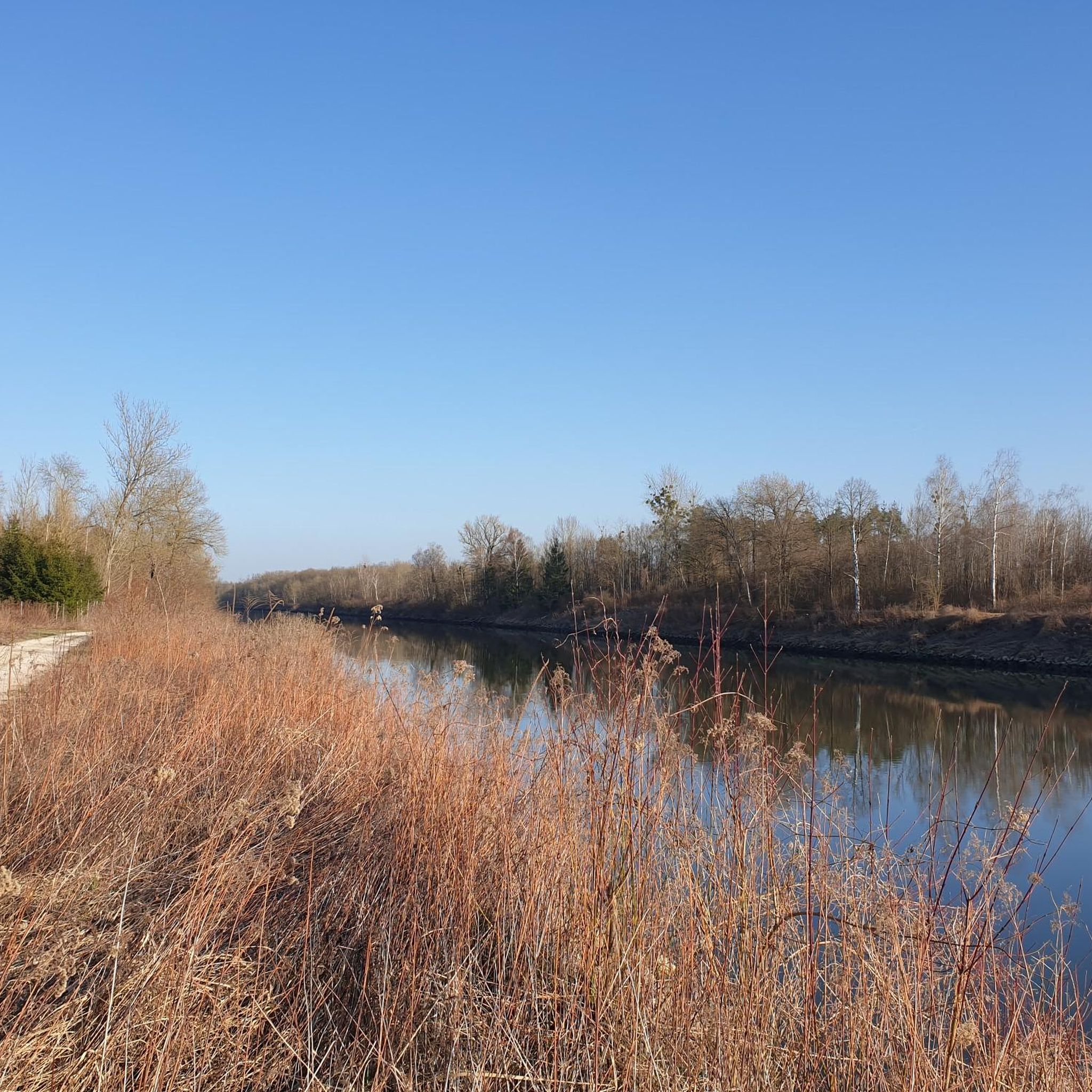
Tips from the Community

Please do not walk on the boardwalk
0
0

First day of spring, the Donau floodplains smell of wild garlic
0
0

An impressive spectacle. Especially when there's more water.
0
0

Klenze Park is worth a stop. Across the street, at the Cavalier Dalwigk monument, cannons were once cast. Today, you can enjoy the view of the Danube with a cool drink in the summer lounge. Be sure to check the opening hours.
0
0

NEUBURG PLACE SIGN next to the mega photo point of Neuburg
2
0

Neuburg an der Donau is a large district town and the seat of the district administration of the Upper Bavarian district of Neuburg-Schrobenhausen. For centuries, Neuburg was the royal residence of the Duchy of Palatinate-Neuburg, a fact reflected in its architecture to this day.
4
0

Well-developed cycle path for racing and touring bikes.
0
0

Beautiful, well-prepared and flat cycle path.
3
0
Frequently Asked Questions
How many gravel bike trails are available in Stanglettenschütt?
Stanglettenschütt offers a wide variety of gravel biking options, with over 360 routes available. These range from easy, leisurely rides to more challenging adventures, ensuring there's something for every skill level.
What kind of terrain can I expect on gravel bike trails in Stanglettenschütt?
The terrain in Stanglettenschütt is characterized by extensive alluvial forests, particularly within the Danube Floodplain Forest, and revitalized wetland ecosystems. You'll find varied surfaces, from shaded forest paths to more open sections along waterways and embankments. The landscape is generally flat with gentle ascents, making it accessible for diverse skill levels.
Are there easy gravel bike trails suitable for beginners in Stanglettenschütt?
Yes, Stanglettenschütt has numerous easy gravel bike trails perfect for beginners. For example, the Path Through Schönbuch Forest loop from Weichering is an easy 18.6 km route that offers a gentle ride through forest landscapes.
Are there more challenging gravel bike routes in Stanglettenschütt?
While the region is generally flat, there are routes that offer longer distances and varied surfaces that can be more challenging. For instance, the Grünau Castle – Avenue to Grünau Hunting Lodge loop from Bergheim is a moderate 37.4 km trail that leads through historical landscapes and natural areas, providing a good workout.
Are there circular gravel bike routes in Stanglettenschütt?
Many of the gravel bike routes in Stanglettenschütt are designed as loops, allowing you to start and end at the same point. Examples include the Gravel Path Along the Danube – Danube Embankment Path loop from Süd and the Schutterweg – Schutter Mill loop from Piusviertel.
What natural sights can I explore along the gravel bike trails?
The region is rich in natural beauty. You can cycle past impressive natural monuments like the Old black poplar, explore the unique wetland ecosystem of the Jackl-Brenne Biotope, or ride through the extensive Danube Floodplain Forest Revitalization Project, which is Central Europe's largest contiguous alluvial forest.
Are there historical landmarks or points of interest along the gravel bike routes?
Yes, you can discover historical elements integrated into the natural environment. Routes might take you past the Moat of Fort Rosenschwaig, the Grünau Hunting Lodge, or the Danube Flood Marker in the Riparian Forest, offering a blend of natural exploration and cultural discovery.
Can I find gravel bike routes that follow the Danube River?
Absolutely. The Danube River is a central feature of the region. A popular option is the Gravel Path Along the Danube – Danube Embankment Path loop from Süd, which provides scenic riverside views and varied terrain along the embankment.
Are the gravel bike trails in Stanglettenschütt suitable for families?
Many of the trails, especially the easier and flatter loops through the forests and along the river, are well-suited for families. The gentle ascents and varied, yet manageable, terrain make for enjoyable rides for different ages and skill levels. Consider routes like the Path Through Schönbuch Forest loop from Weichering for a family-friendly experience.
What is the best season for gravel biking in Stanglettenschütt?
The extensive forests and revitalized waterways make Stanglettenschütt enjoyable for gravel biking throughout much of the year. Spring and autumn offer pleasant temperatures and beautiful scenery with changing foliage. Summer is also great, especially for shaded forest paths. Even in winter, many trails can be ridden, though conditions may vary.
What do other gravel bikers enjoy the most about the trails in Stanglettenschütt?
The gravel biking routes in Stanglettenschütt are highly rated by the komoot community, with an average score of 4.6 stars from over 550 reviews. Reviewers often praise the tranquility of the extensive alluvial forests, the unique wetland biotopes, and the scenic riverside paths that offer diverse and engaging rides.
Are there options for less crowded gravel bike routes in Stanglettenschütt?
Given the vast network of over 360 trails, it's possible to find less crowded routes, especially away from the most popular spots or during off-peak times. Exploring the smaller paths within the Danube Floodplain Forest or the various biotopes can offer a more secluded experience.
Most popular routes in Stanglettenschütt
Most popular attractions in Stanglettenschütt

Get inspired with the komoot mobile app


