The best gravel rides in Gaisbusch
3.9
(55)
500
riders
58
rides
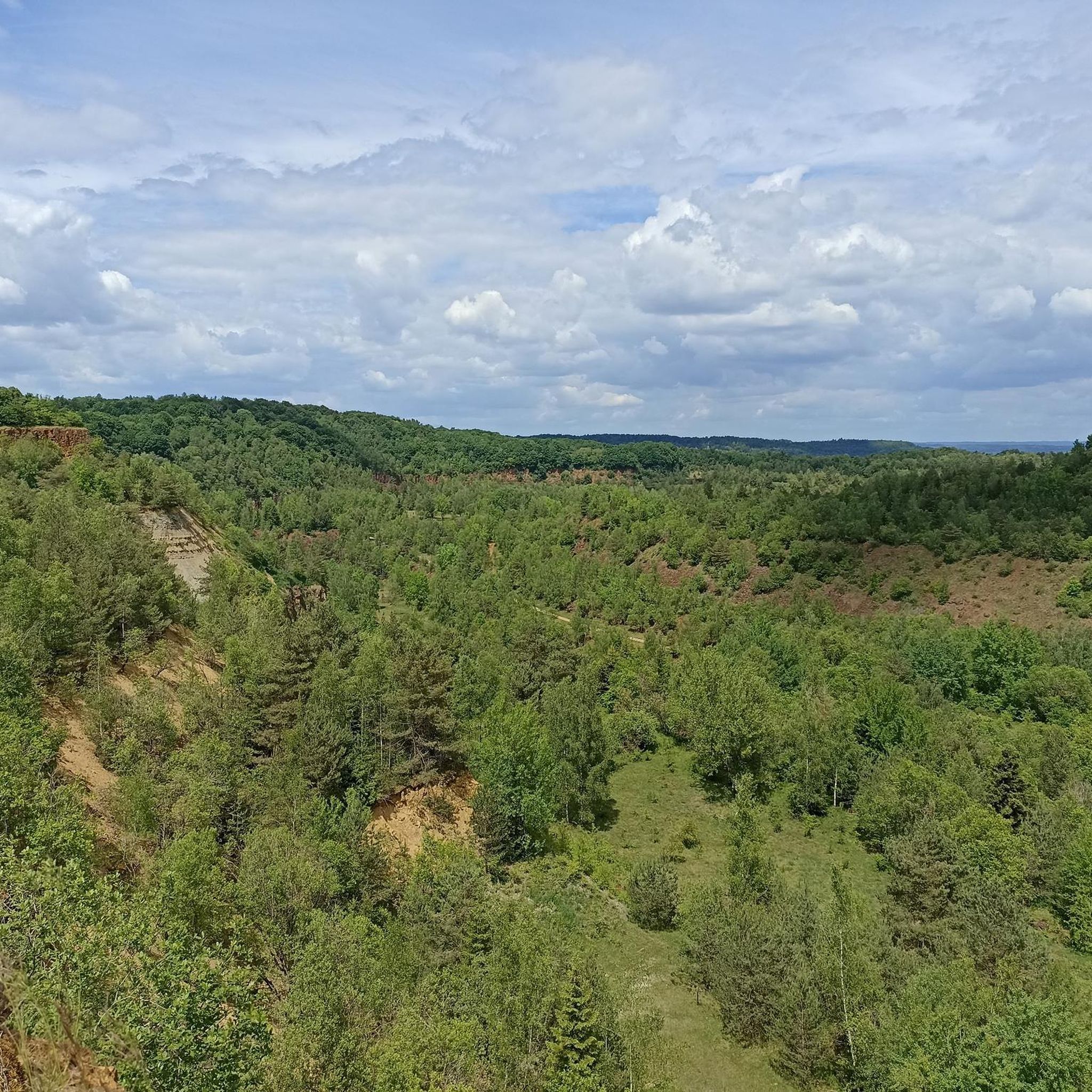
Gravel biking in Gaisbusch offers routes that traverse varied terrain, often featuring remnants of industrial heritage and natural rock formations. The landscape includes areas with red rock fields and elevated sections providing views over valleys. Many routes incorporate a mix of open paths and more technical sections, catering to different skill levels.
Best gravel bike trails in Gaisbusch
- The most popular gravel bike trail is Cliff Edge – Eisekaul Red Rock Field loop from Rumelange, a 22.9 miles (36.9…
Last updated: July 3, 2026
4.0
(2)
58
riders
26.7km
02:08
440m
440m
Hard gravel ride. Good fitness required. You may need to push your bike for some segments of this route.
5.0
(5)
60
riders
42.3km
02:59
510m
510m
Hard gravel ride. Very good fitness required. Mostly paved surfaces. Suitable for all skill levels.

Sign up for free
4.0
(2)
10
riders
24.3km
01:46
360m
360m
Moderate gravel ride. Good fitness required. Mostly paved surfaces. Suitable for all skill levels.
11
riders
35.3km
02:38
570m
570m
Hard gravel ride. Very good fitness required. Mostly paved surfaces. Suitable for all skill levels.
4.3
(4)
12
riders
40.7km
02:20
370m
370m
Moderate gravel ride. Good fitness required. Mostly paved surfaces. Suitable for all skill levels.
Get access to more routes and recommendations from other explorers.
Sign up for free
Already have an account?
Our route recommendations are based on thousands of hikes, rides, and runs completed by other people on komoot.
Start today with a free account
Your next adventure awaits.
Login or Signup
Tips from the Community

Former cordoned-off mine entrance
0
0

On both MTB trails "Haard Black" and "Haard Red", you pass this great viewpoint, with a rest stop.
0
0

On the edge of the steelworks, now outside the industrial area, stand the old blast furnaces and new office and administration buildings, including those of universities.
3
0

Funny Captions to Read on the Bulletin Board
0
0


The entrance to the Heintzenberg mine was renovated in the mid-2010s. At that time, the square in front of the mine got its current name: Place Pierre Ponath. Ponath was a member of the Resistance who lost his life hiding two deserters in 1944. In 1884, mining activities began at this location. Until the end of the First World War, the Heintzenberg mine was operated by the Gelsenkirchener Bergwerks Aktien Gesellschaft. After the end of the German Customs Union, and until its acquisition by ARBED, the Société Métallurgique des Terres-Rouges continued to operate the concession. The Heintzenberg mine was not spared from the slow decline in minette production in the second half of the 20th century. Production there ceased in the 1960s. Today, in addition to the entrance to the mining gallery, the old power station, which has housed a restaurant since 2005, recalls the industrial past of the site.
0
0

Good for hiking, but you don't have much to lose with a mountain bike
0
0
Frequently Asked Questions
What kind of terrain can I expect on gravel bike trails in Gaisbusch?
Gravel biking in Gaisbusch features varied terrain, often including remnants of industrial heritage and natural rock formations. You'll encounter areas with distinctive red rock fields and elevated sections that offer views over valleys. The routes typically combine open paths with more technical sections.
How challenging are the gravel bike routes in Gaisbusch?
Gaisbusch offers a range of gravel bike routes, from moderate to difficult. While there are a few easier options, the majority of the 66 available tours are rated as moderate (40 routes) or difficult (24 routes), providing a good challenge for experienced riders.
Are there any beginner-friendly gravel bike trails in Gaisbusch?
Yes, Gaisbusch does have a couple of gravel bike trails suitable for beginners. These routes offer a less demanding experience while still allowing you to enjoy the region's unique landscape.
What are some notable features or sights along the gravel bike trails in Gaisbusch?
The gravel bike trails in Gaisbusch are characterized by their unique blend of natural and industrial landscapes. You can expect to see striking red rock fields, explore sites of industrial heritage like the Belval Blast Furnaces, and enjoy scenic views over valleys, such as those near Oberkorn.
Are there circular gravel bike routes available in Gaisbusch?
Yes, many of the gravel bike routes in Gaisbusch are designed as loops, allowing you to start and finish at the same point. For example, the Cliff Edge – Eisekaul Red Rock Field loop from Rumelange is a popular circular option.
What do other gravel bikers enjoy most about Gaisbusch?
The gravel biking experience in Gaisbusch is highly rated by the komoot community, with an average score of 4.2 stars from over 75 reviews. Riders often praise the diverse terrain, the combination of natural beauty with industrial heritage, and the challenging sections through red rock fields and along cliff edges.
What is the longest gravel bike route in Gaisbusch?
One of the longer and more challenging routes is the Belval Blast Furnaces – View of Oberkorn loop from Esch-sur-Alzette, which spans 26.3 miles (42.3 km) and combines industrial heritage sites with scenic valley views.
Is there a moderate difficulty gravel bike trail that explores the red rock fields?
Absolutely. The Rosati House – Eisekaul Red Rock Field loop from Esch-sur-Alzette is a moderate 14.4-mile (23.1 km) trail that leads directly through areas featuring the distinctive red rock fields.
Are there any gravel bike routes that offer views of castles or historical sites?
Yes, you can find routes that pass by historical landmarks. For instance, the Bettembourg Castle – View of the Valley Near Metz loop from Esch-sur-Alzette offers views of Bettembourg Castle along its 26.3 km path.
Are there gravel bike trails that offer panoramic views?
Many routes in Gaisbusch feature elevated sections that provide excellent panoramic views. The View of Dudelange – Old Slag Wagon loop from Tétange is a difficult route that includes a viewpoint overlooking Dudelange.
What is the best time of year for gravel biking in Gaisbusch?
While specific seasonal data for Gaisbusch isn't available, generally, spring and autumn offer the most pleasant conditions for gravel biking, with milder temperatures and beautiful scenery. Summer can be enjoyable, but be prepared for warmer weather, and always check local forecasts.
Is parking available near the starting points of the gravel bike trails?
Specific parking information for each route is not detailed here. However, many komoot tours starting from towns like Rumelange or Esch-sur-Alzette often have public parking options nearby. We recommend checking the individual tour pages on komoot for detailed starting point information and potential parking suggestions.
Can I access the gravel bike trails in Gaisbusch using public transport?
While specific public transport links to trailheads are not provided in this guide, routes often start from towns such as Esch-sur-Alzette or Rumelange, which typically have public transport connections. For detailed information on reaching specific starting points, please consult the individual tour pages on komoot or local public transport schedules.
Most popular routes in Gaisbusch

Get inspired with the komoot mobile app


Explore more
Browse the best Gravel rides in other regions.
