The best gravel rides in Røysjømarka
4.9
(8)
69
riders
12
rides
Gravel biking in Røysjømarka offers diverse and varied terrain, characterized by a hilly landscape with challenging ascents and descents. The region features expansive forest views and is dotted with numerous lakes, such as Røysjø and Langevann. Its geology shows marks of glacial erosion, with north-south ridges and valleys contributing to the varied topography.
Best gravel bike trails in Røysjømarka
- The most popular gravel bike trail is Sandungen Lake – Illuminated Railway Tunnel loop from Spikkestad, a 48.3 miles (77.8…
Last updated: July 3, 2026
11
riders
77.8km
05:11
1,190m
1,190m
Hard gravel ride. Very good fitness required. Mostly paved surfaces. Suitable for all skill levels.
5.0
(3)
13
riders
Moderate gravel ride. Good fitness required. Mostly paved surfaces. Suitable for all skill levels.

Sign up for free
42.6km
02:57
410m
410m
Moderate gravel ride. Good fitness required. Mostly paved surfaces. Suitable for all skill levels.
4.8
(6)
25
riders
32.3km
01:57
450m
450m
Hard gravel ride. Very good fitness required. Mostly paved surfaces. Suitable for all skill levels.
21
riders
65.2km
04:26
840m
840m
Hard gravel ride. Very good fitness required. Mostly paved surfaces. Suitable for all skill levels.
Get access to more routes and recommendations from other explorers.
Sign up for free
Already have an account?
Our route recommendations are based on thousands of hikes, rides, and runs completed by other people on komoot.
Start today with a free account
Your next adventure awaits.
Login or Signup
Tips from the Community

This forested lake features a public swimming area and sits at the gateway to the Finnemarka wilderness network. The shoreline paths connect directly to local sports trails and historical hiking routes leading deeper into the woods.
0
0

Beautiful tunnel with a great light installation.
0
0


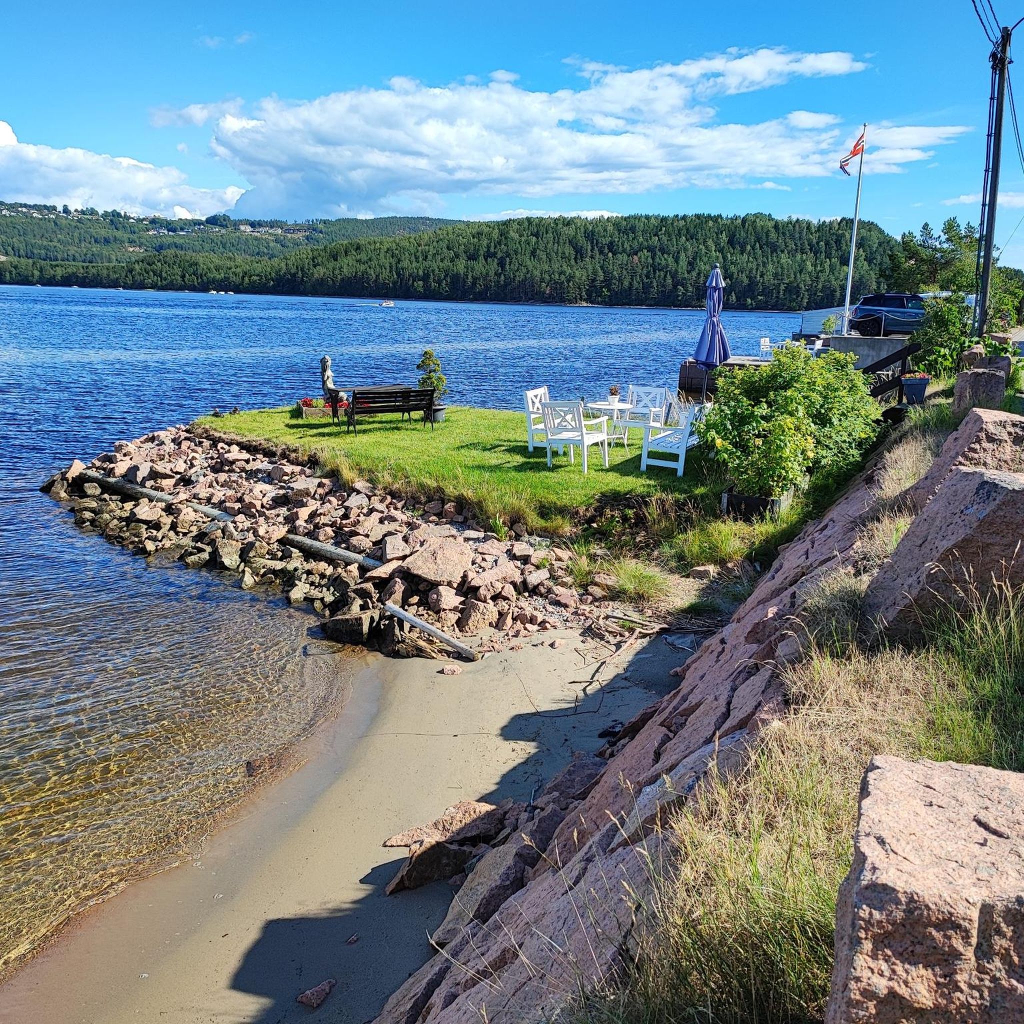
This serene route is a must for everyone that wants to explore the nature around Oslo.
0
0
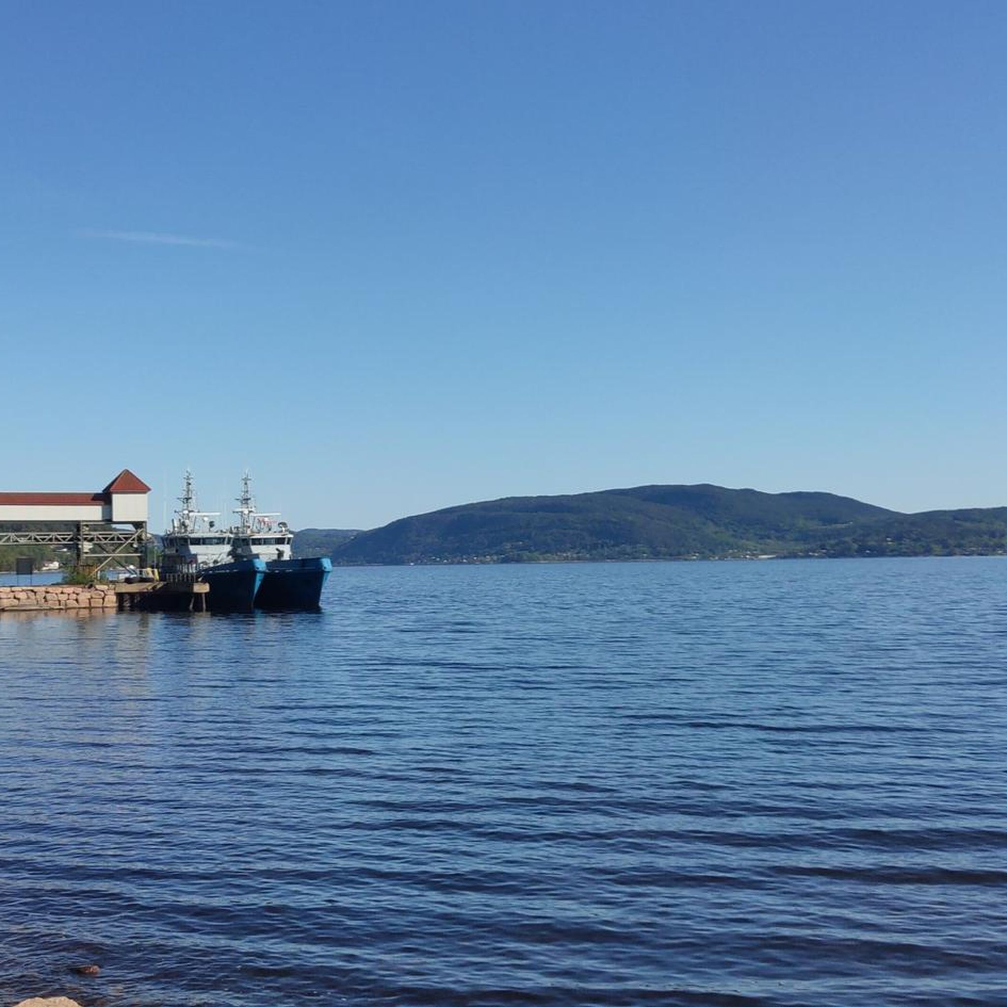
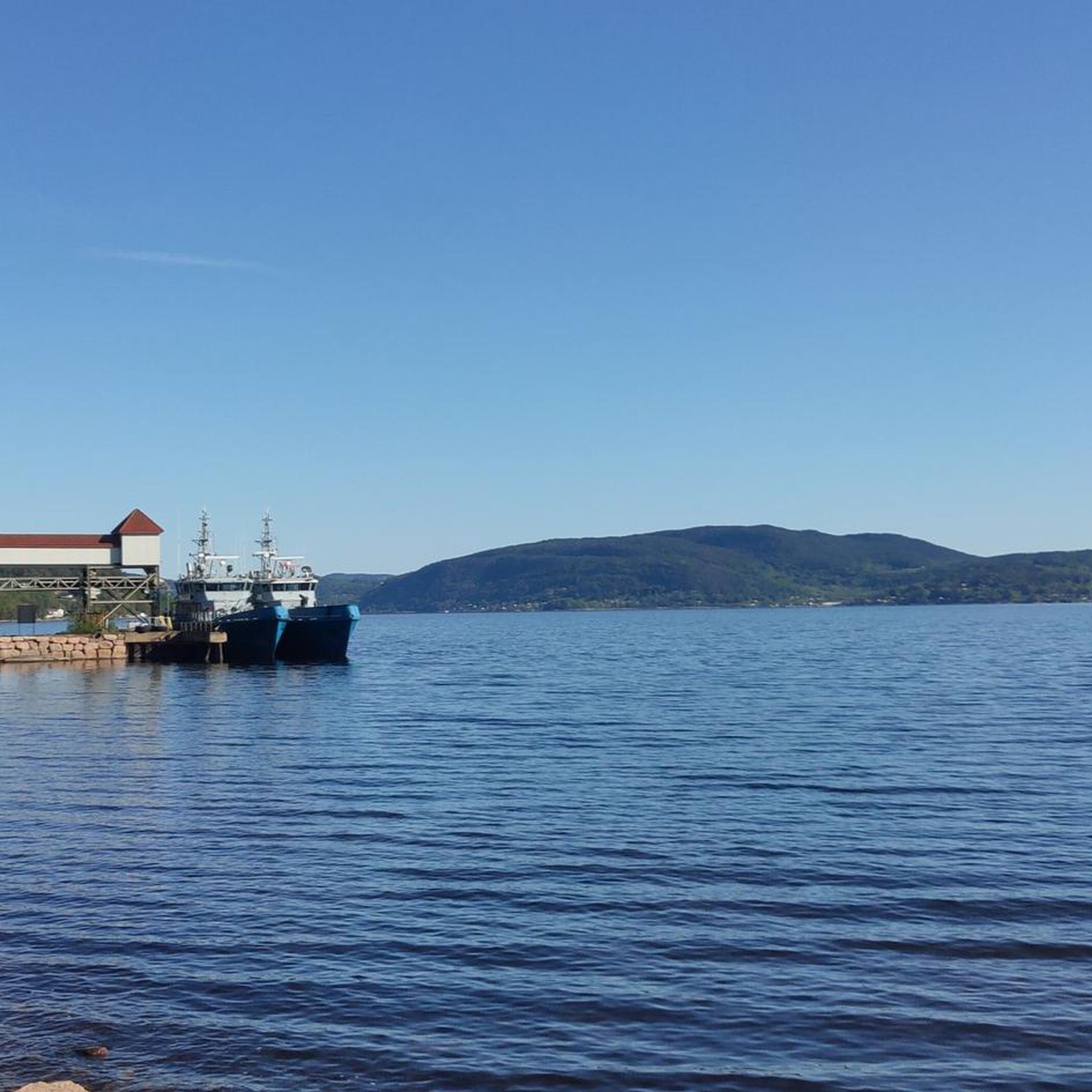
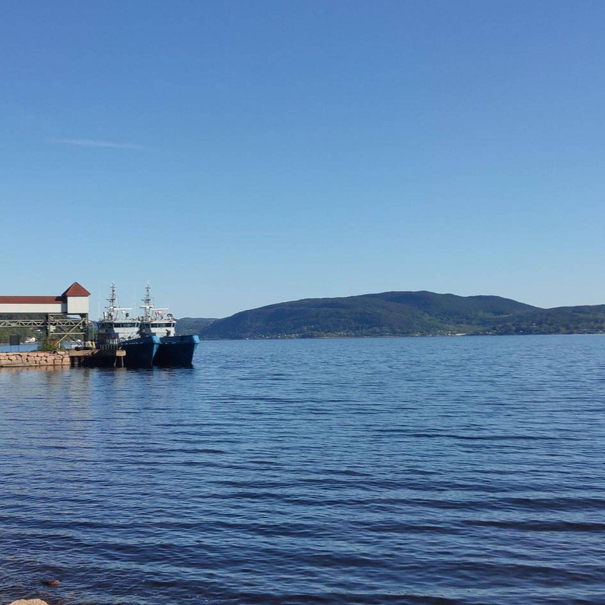
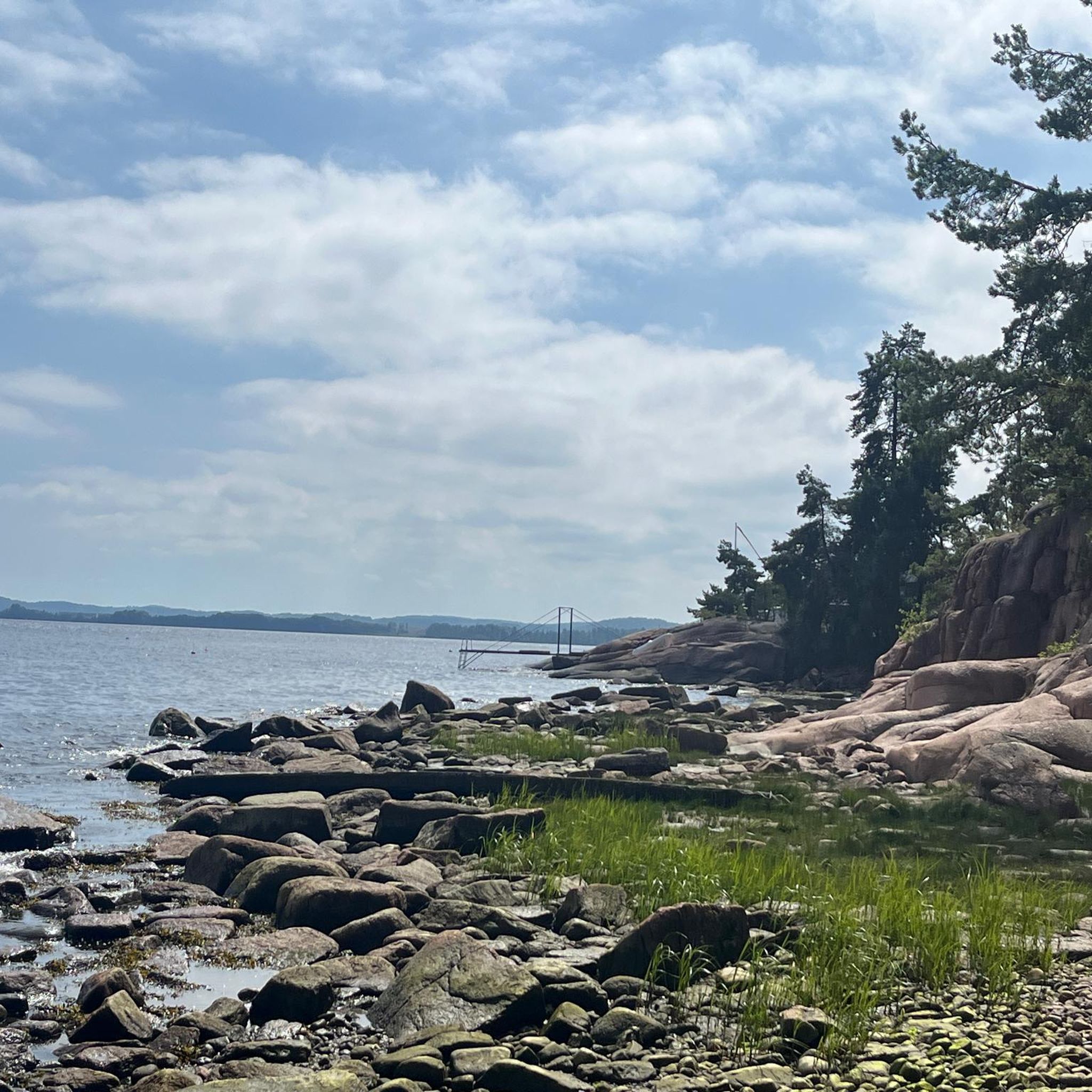
This trail will get you close to the sea!
0
0

Nykirke church is the very distinct white wooden building that you will notice while passing through the area. It's the perfect place to have a break to observe the construction and its peaceful churchyard surroundings before continuing your journey along the nearby roads.
0
0
Frequently Asked Questions
How many gravel bike trails are available in Røysjømarka?
Røysjømarka offers a diverse network of over 15 gravel bike trails, ranging from moderate to difficult, providing varied experiences for cyclists.
What kind of terrain can I expect on Røysjømarka's gravel bike trails?
You can expect a hilly and varied terrain, characterized by challenging ascents and descents, extensive forest views, and numerous scenic lakes. The landscape also features geological marks from glacial erosion, with north-south ridges and valleys.
Are there any challenging gravel routes in Røysjømarka?
Yes, Røysjømarka is known for its challenging routes. About 9 of the trails are rated as difficult. For instance, the Sandungen Lake – Illuminated Railway Tunnel loop from Spikkestad is a demanding 77.8 km route with significant elevation gain.
Are there any moderate gravel biking options for less experienced riders?
Absolutely. Røysjømarka also features several moderate routes, with 6 trails specifically categorized as such. A good option is the Kjekstadmarka Railway Tunnel – Illuminated Railway Tunnel loop from Brakerøya, a 43.3 km path that navigates through forested areas and past natural features.
What natural features or landmarks can I see along the gravel bike trails?
Røysjømarka is dotted with many beautiful lakes like Røysjø, Langevann, and Suluvann. You can also see the scenic Føyta Dam and observe unique geological features like 'corestones' along the road to Røysjø. For panoramic views, consider routes that pass near the viewing tower on Sæteråsen.
What do other gravel bikers say about Røysjømarka?
The komoot community highly rates Røysjømarka, with an average score of 4.9 stars from 10 reviews. Over 80 gravel bikers have explored the area, often praising its rugged beauty, varied terrain, and immersive nature experience.
Are there any circular gravel bike routes in Røysjømarka?
Many of the gravel routes in Røysjømarka are designed as loops. For example, the Alfheim beach and gravel loop — Telemark offers a 42.6 km circular ride through varied terrain.
What is the best time of year for gravel biking in Røysjømarka?
The best time for gravel biking in Røysjømarka is typically during the warmer months, from late spring to early autumn, when trails are clear of snow and ice. The expansive forests and lakes are particularly beautiful during these seasons.
Is there parking available near the trailheads in Røysjømarka?
While specific parking locations are not detailed, Røysjømarka is a popular outdoor destination, suggesting that access points and parking facilities are available, particularly near common starting points like Spikkestad or Brakerøya for the mentioned routes.
Are there any facilities like cafes or cabins in Røysjømarka?
Within the Røysjømarka area, the Røde Kors-hytta (Red Cross Cabin) serves as a central point and is open for service during winter, potentially offering a resting or refreshment stop. For more extensive amenities like cafes or pubs, you would likely need to visit nearby towns such as Sande or Svelvik.
Can I reach Røysjømarka's gravel trails using public transport?
Røysjømarka is situated between Sande and Svelvik. While direct public transport to every trailhead might be limited, you can often reach nearby towns or access points via bus or train, and then cycle to the starting points of the gravel routes.
Are there any gravel routes suitable for families with children?
Given the 'hilly and varied terrain' and the prevalence of moderate to difficult routes, Røysjømarka might be more suitable for families with some cycling experience. Look for shorter, less steep sections if riding with younger children, or consider the moderate trails for older, more capable family members.
Most popular routes in Røysjømarka

Get inspired with the komoot mobile app


