The best gravel rides in Mount Mansfield State Forest
4.7
(9)
360
riders
87
rides
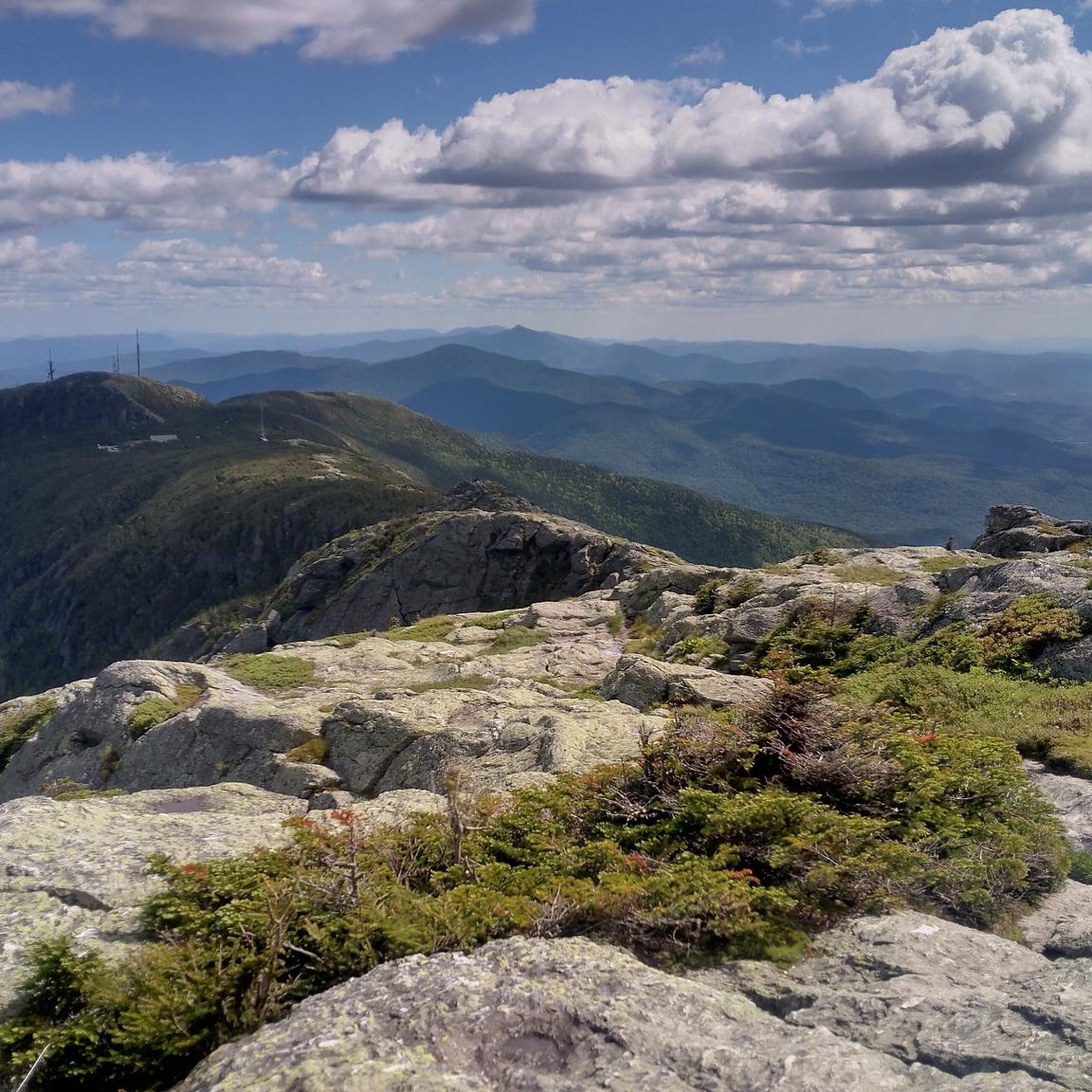
Gravel biking in Mount Mansfield State Forest offers a diverse landscape for riders. The region is dominated by Mount Mansfield, Vermont's highest peak, and features dramatic mountain passes like Smugglers' Notch. An extensive network of gravel roads, including unique "Class 4 roads," traverses varied ecosystems from rich hardwood forests to higher-elevation alpine tundra. Waterbury Reservoir and natural attractions like Bingham Falls add to the scenic diversity of the area.
Best gravel bike trails in Mount Mansfield State Forest
- The most…
Last updated: July 11, 2026
5.0
(2)
19
riders
139km
11:35
1,830m
1,820m
Hard gravel ride. Very good fitness required. Mostly paved surfaces. Suitable for all skill levels.
9
riders
41.5km
02:48
570m
570m
Hard gravel ride. Very good fitness required. Mostly paved surfaces. Suitable for all skill levels.

Sign up for free
3.0
(1)
17
riders
30.3km
01:35
200m
200m
Moderate gravel ride. Good fitness required. Mostly paved surfaces. Suitable for all skill levels.
7
riders
Hard gravel ride. Very good fitness required. Mostly paved surfaces. Suitable for all skill levels.
5
riders
70.2km
04:43
1,020m
1,020m
Hard gravel ride. Very good fitness required. Mostly paved surfaces. Suitable for all skill levels.
Get access to more routes and recommendations from other explorers.
Sign up for free
Already have an account?
Our route recommendations are based on thousands of hikes, rides, and runs completed by other people on komoot.
Start today with a free account
Your next adventure awaits.
Login or Signup
Popular around Mount Mansfield State Forest
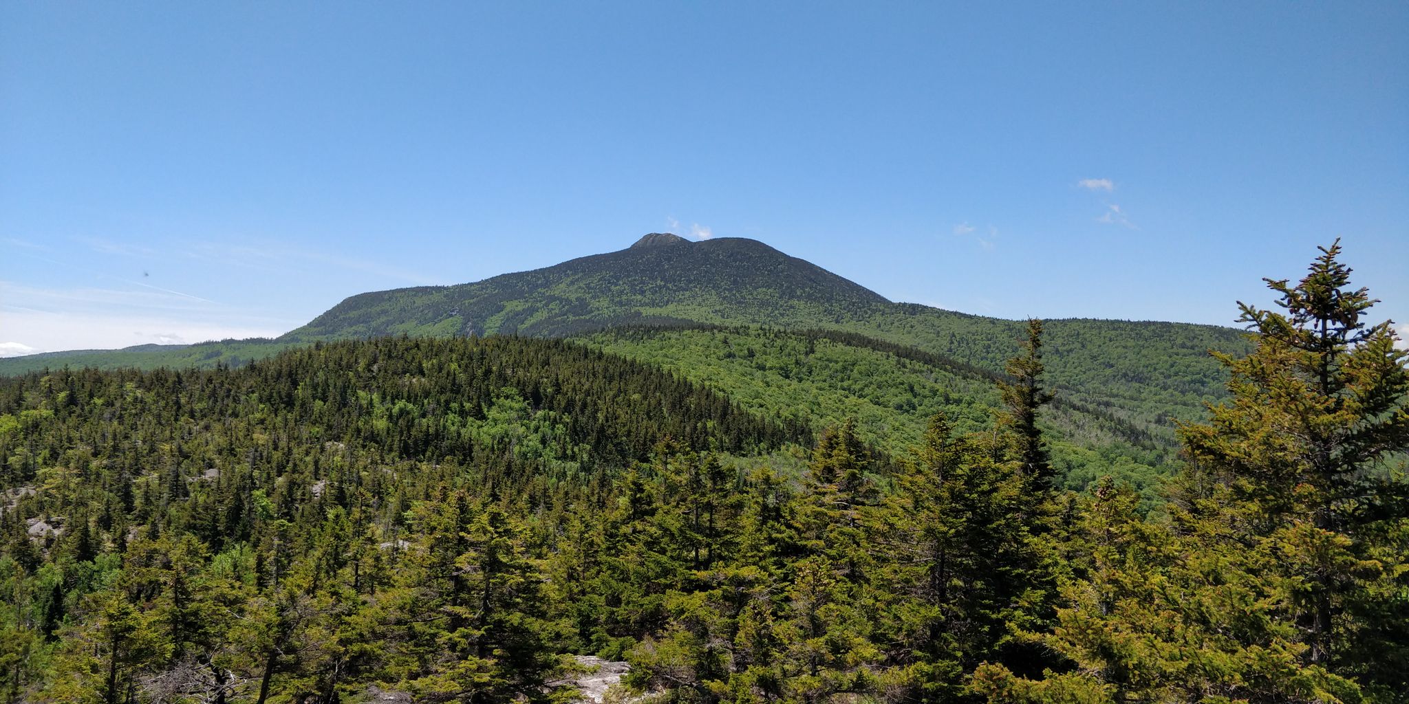
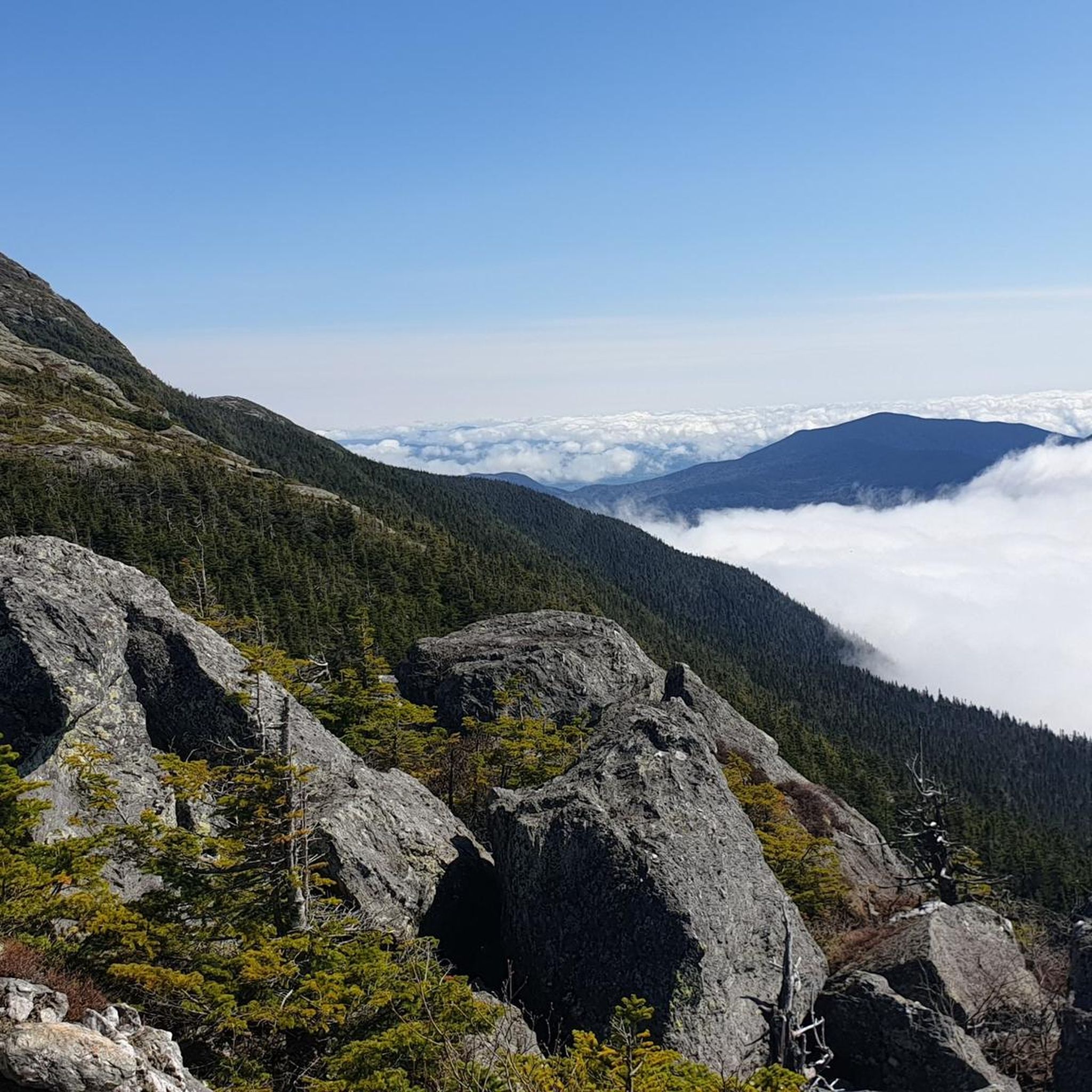
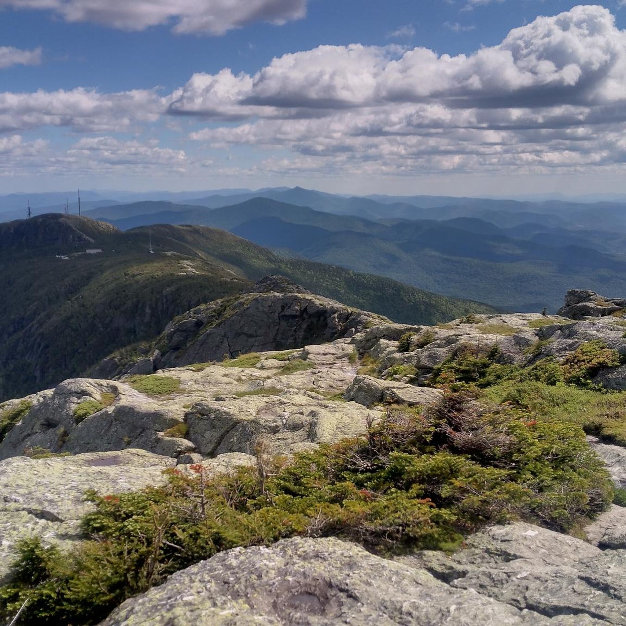
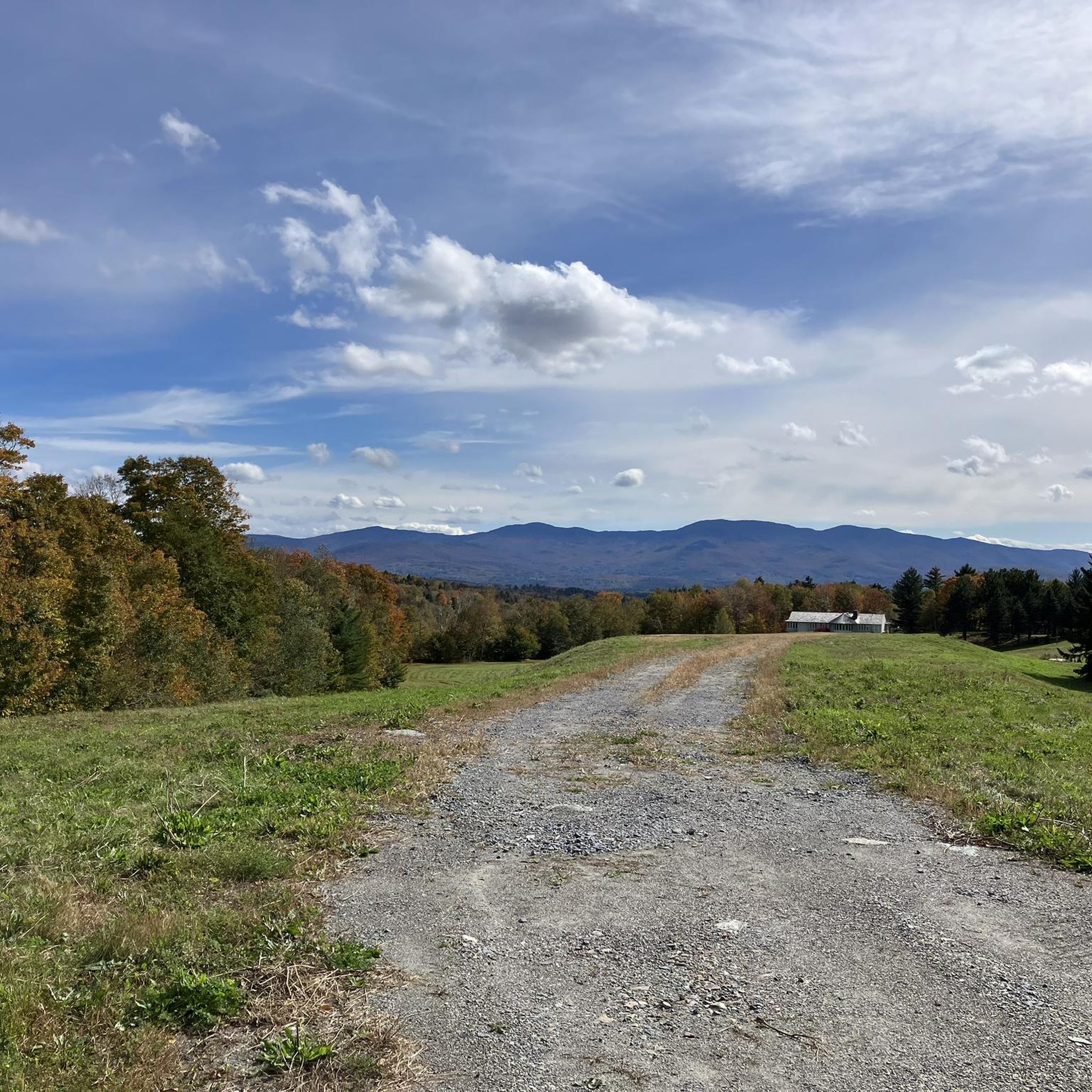
Other adventures in Mount Mansfield State Forest

Tips from the Community

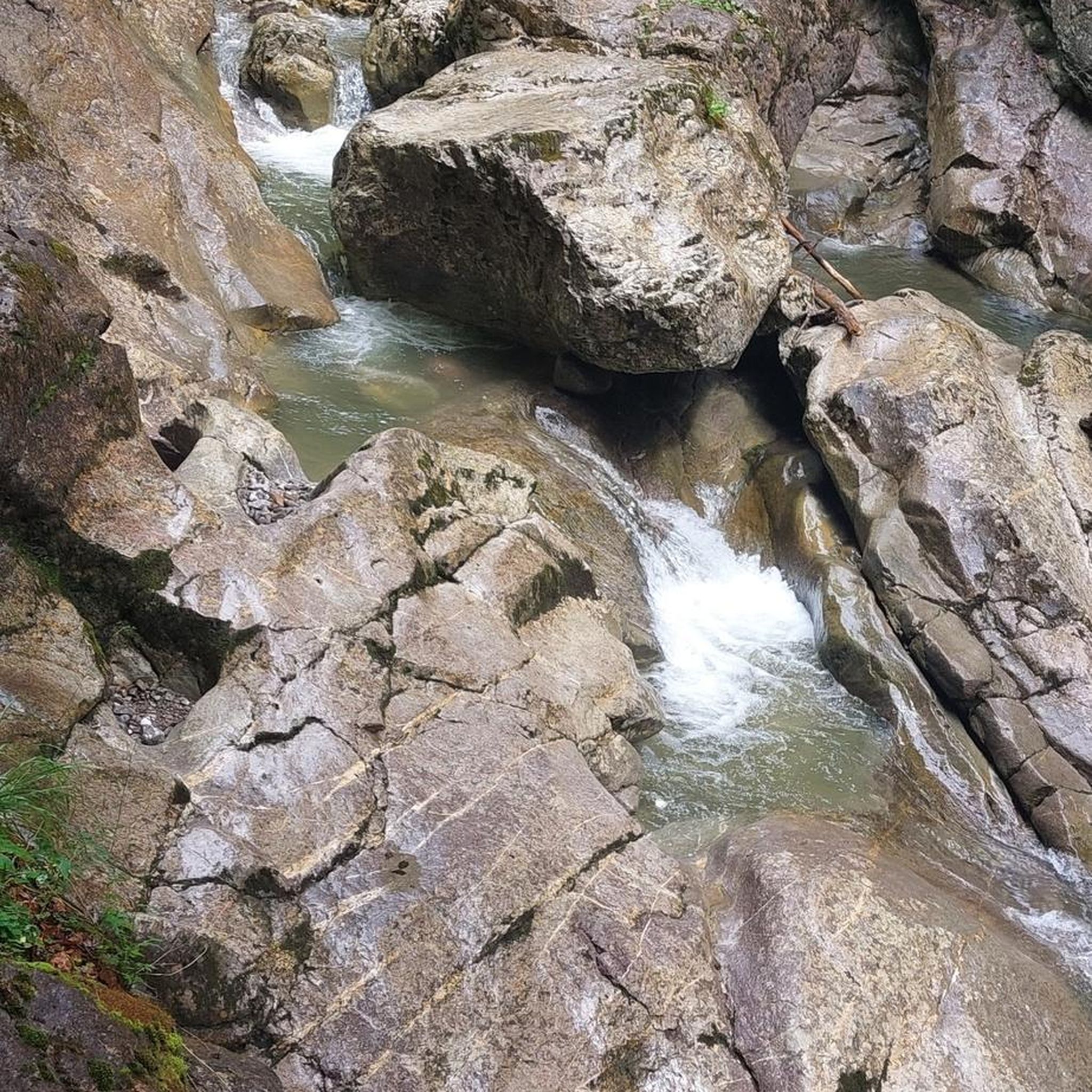
Beautiful Gorge along the route. As tempting as it may be to go in for a swim, don’t, many people have met their end swimming in this gorge.
1
0

The Cross Vermont Trail is a multi-use path that spans the state, connecting communities, crossing rivers, and passing through forests and open fields. It features a mix of gravel and paved sections, making it ideal for bike touring and exploring Vermont’s scenic landscapes. You can start in Burlington and choose your own final destination.
0
0

Lintilhac Park is a lovely little park behind the Stowe Community Church and is a common access point for the southern end of the Stowe Recreation Path, just north of Main Street, Stowe. The Stowe Recreation Path is a popular, scenic, 5.3-mile paved trail that is open for bikers and walkers, and is groomed in the winter for cross-country skiers. This fantastic trail crosses Little River several times via wooden bridges, has multiple spots for swimming, and offers direct access to many restaurants and shops in Stowe. There is a bike repair station at Lintilhac Park for those who might need it, in addition to parking for the Recreation Path.
0
0

The Catamount Trail Network is the intertwining system of paths at the Catamount Outdoor Family Center. The trails are open to a number of different trail users (no pets), and some are even groomed in the winter for fat biking and Nordic skiing. With a bunch of different trail options, these summer mountain bike trails are perfect for beginners, experts, and everyone in between!
0
0

The trees clear out near the top of 1207-foot Barnes Hill, giving you some nice views of the landscape around you. It's a nice climb to get up here, but no so bad that you need quads of steel to make it.
0
0

Gillett Pond is a true gem with serene waters and picturesque scenery attracting skaters and skiers during the winter, while canoers, kayakers, and anglers enjoy it throughout the warmer seasons. A good deal of wildlife call it home, from birds and bullfrogs to beavers and bobcats. As the only publicly accessible body of water in the area, it holds a special place in the hearts of the locals. In fact, it's not uncommon for residents to shovel off a section during the winter to skate or play pond hockey.
0
0
Lintilhac Park is a lovely little park behind the Stowe Community Church and is a common access point for the southern end of the Stowe Recreation Path. The Stowe Recreation Path is a popular, scenic, 5.3-mile paved trail that is open for bikers and walkers, and is groomed in the winter for cross-country skiiers. This fantastic trail crosses Little River several times via wooden bridges, has multiple spots for swimming, and offers direct access to many restaurants and shops in Stowe. There is a bike repair station at Lintilhac Park for those who might need it, in addition to parking for the Recreation Path.
0
0
Frequently Asked Questions
How many gravel bike trails are available in Mount Mansfield State Forest?
Mount Mansfield State Forest offers a wide selection of gravel biking routes, with over 80 trails to explore. These routes cater to various skill levels, including 33 moderate and 51 difficult options, ensuring there's a challenge for every rider.
What kind of terrain can I expect on gravel bike trails in Mount Mansfield State Forest?
You can expect a diverse range of terrain, from extensive networks of well-maintained gravel roads to more rugged "Class 4 roads" that offer a true mixed-surface adventure. The area is known for its challenging topography, often incorporating significant climbing, and routes frequently combine paved sections with gravel and even singletrack trails. This variety allows riders to utilize the versatility of their gravel bikes to explore varied ecosystems, from rich hardwood forests to higher-elevation alpine tundra.
Are there any easy or moderate gravel bike trails suitable for beginners or families?
While many routes in Mount Mansfield State Forest are rated as difficult, there are 33 moderate gravel bike trails available. For those seeking a less strenuous ride, look for shorter moderate routes with less elevation gain. The region's extensive network of back roads also includes options that traverse charming farmlands, which can be more suitable for a relaxed pace.
What are some scenic natural features or landmarks I can see while gravel biking in the area?
Mount Mansfield State Forest is rich in natural beauty. You can encounter breathtaking panoramic views from Mount Mansfield, Vermont's highest peak, or explore the dramatic cliffs of Smugglers' Notch. Natural attractions like Bingham Falls, a picturesque 40-foot waterfall, are accessible via short hikes from some trails. The Cantilever Rock is another unique geological feature. Many routes also pass by the scenic Waterbury Reservoir, offering tranquil waterside views.
What do other gravel bikers enjoy most about Mount Mansfield State Forest?
The komoot community highly rates gravel biking in Mount Mansfield State Forest, with an average score of 4.6 stars from 9 reviews. Riders often praise the extensive network of gravel roads, the challenging topography that provides rewarding workouts and elevated scenic overlooks, and the diverse mixed-surface adventures. The opportunity to explore varied terrain and stunning natural features like Mount Mansfield and Smugglers' Notch is a significant draw for the over 450 gravel bikers who have used komoot to explore the area.
Are there any loop options for gravel biking in Mount Mansfield State Forest?
Yes, many gravel bike routes in Mount Mansfield State Forest are designed as loops, allowing you to start and finish at the same point. For example, the Huntington Gorge – Gillett Pond loop from Jonesville is a moderate 16.1 km loop. Another popular option is the Gold Brook Covered Bridge – Barnes Hill loop from Trapp Family Lodge, a more challenging 50.7 km route. These loops offer varied distances and difficulties to suit different preferences.
Where can I park when gravel biking in Mount Mansfield State Forest?
Parking is available at various trailheads and access points throughout Mount Mansfield State Forest. For instance, routes like the Barnes Hill – Gold Brook Covered Bridge loop start from the Preston Pond Conservation Area, which typically offers parking. Other routes, such as the Huntington Gorge – Gillett Pond loop, begin from the Long Trail Parking Lot. It's always advisable to check specific route details for recommended parking locations.
Can I bring my dog on the gravel bike trails in Mount Mansfield State Forest?
Mount Mansfield State Forest is generally dog-friendly, with many trails allowing leashed dogs. However, specific regulations can vary by trail or park within the forest. It's always best to check local signage or the Vermont State Parks website for the most current rules regarding pets on trails to ensure a pleasant experience for everyone.
What is the best time of year to go gravel biking in Mount Mansfield State Forest?
The best time for gravel biking in Mount Mansfield State Forest is typically from late spring through fall. During these seasons, the weather is generally favorable, and trails are clear of snow and ice. Fall offers spectacular foliage, making it a particularly scenic time to ride. Always check current trail conditions, especially in early spring when mud can be an issue, and late fall when temperatures drop and snow can begin to accumulate at higher elevations.
Are there any cafes or amenities near the gravel bike trails?
The towns surrounding Mount Mansfield State Forest, such as Stowe and Waterbury, offer a variety of amenities including cafes, restaurants, and accommodation options. These towns are popular hubs for outdoor enthusiasts and provide convenient places to refuel and relax before or after your ride. Many routes are accessible from or pass near these areas, making it easy to find refreshments.
What are the typical elevation gains on gravel bike trails in Mount Mansfield State Forest?
Gravel bike trails in Mount Mansfield State Forest often feature significant elevation gains due to the region's challenging topography. For example, the Barnes Hill – Gold Brook Covered Bridge loop involves over 1,800 meters of ascent. Even shorter routes like the Huntington Gorge – Cross Vermont Trail loop can have over 640 meters of climbing. Riders should be prepared for undulating terrain and rewarding climbs that often lead to scenic viewpoints.
Are there any specific regulations or permits needed for gravel biking in the forest?
Generally, no specific permits are required for gravel biking on public roads and designated trails within Mount Mansfield State Forest. However, it's always good practice to respect private property, stay on marked trails, and adhere to any posted regulations. Some areas, especially within state parks or private land, might have specific rules or fees. For general information about the forest, you can refer to Mount Mansfield State Forest on Wikipedia.
Most popular routes in Mount Mansfield State Forest
Most popular attractions in Mount Mansfield State Forest

Get inspired with the komoot mobile app


Explore more
Browse the best Gravel rides in other regions.
