The best gravel rides in Salt Hill State Forest
4.7
(4)
37
riders
5
rides
Gravel biking in Salt Hill State Forest, located in Cortlandt, Westchester County, New York, offers diverse natural landscapes and a network of unpaved paths. The forest spans 269.7 acres, featuring varied terrain and elevations, including the 699-foot Salt Hill Summit. Riders can expect a mix of unpaved woods roads, rocky outcrops, and scenic views, with the approximately 8-acre Blue Lake serving as a central feature. The area's deciduous forest, brooks, and historical elements like old stone walls provide a rich…
Last updated: June 1, 2026
4.3
(3)
8
riders
Hard gravel ride. Good fitness required. You may need to push your bike for some segments of this route.
5.0
(1)
9
riders
26.5km
01:30
190m
190m
Hard gravel ride. Good fitness required. You may need to push your bike for some segments of this route.

Sign up for free
8
riders
Hard gravel ride. Good fitness required. You may need to push your bike for some segments of this route.
4
riders
89.2km
06:27
1,740m
1,740m
Hard gravel ride. Very good fitness required. Mostly paved surfaces. Suitable for all skill levels.
Our route recommendations are based on thousands of hikes, rides, and runs completed by other people on komoot.
Start today with a free account
Your next adventure awaits.
Login or Signup


Tips from the Community


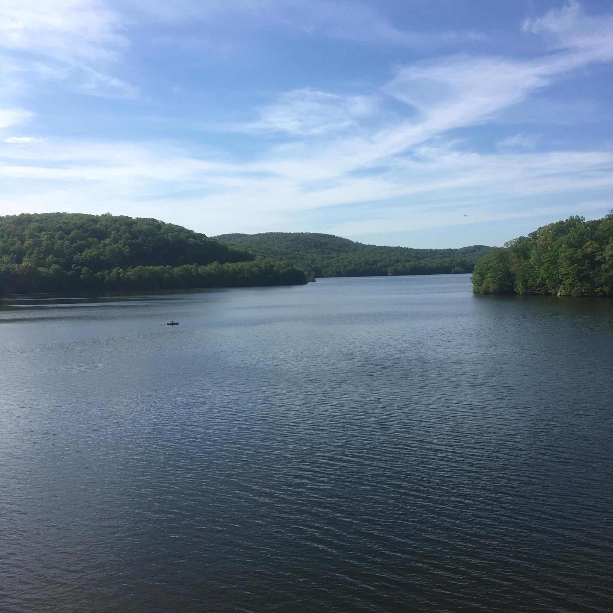
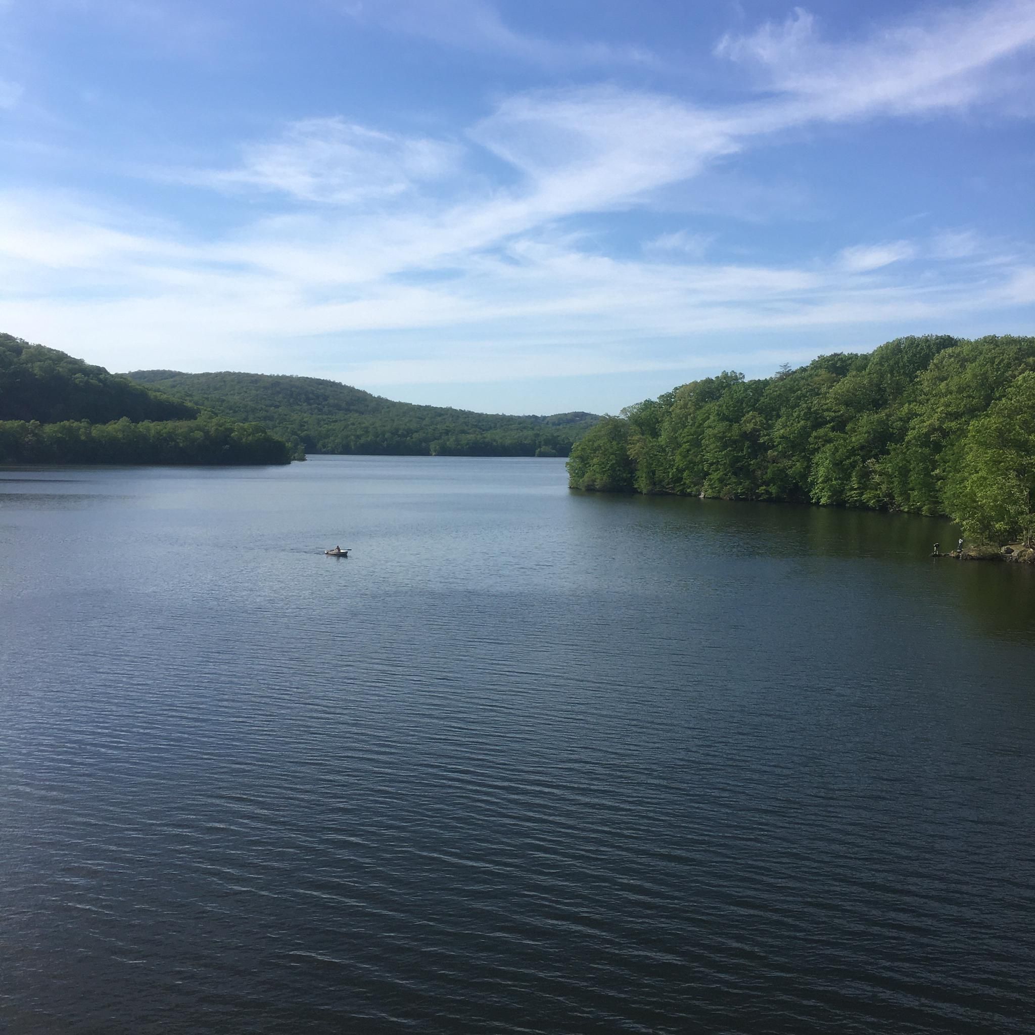
This massive reservoir is about nine miles long, stretching through five different towns. There's a gorgeous, cascading spillway on the west of the reservoir. In this particular spot, you can access the shore of the reservoir just off Croton Lake Road, or via the Teatown-Kitchawan Trail.
0
0

Croton Point Park is a popular park on Croton Bay. The park has a lot to offer, including hiking trails, a pavilion, a playground, and a beach.
1
0

Perched 125 feet high on the bridge path, the Tides of Tarrytown overlook offers a unique perspective on the village's rich history and evolving shoreline. The timber-clad bench doubles as a panoramic viewing platform, allowing you to absorb the northern vista of Tarrytown and the southern skyline of New York City.
0
0
At Painters Point, perched 102 feet high on the Mario M. Cuomo Zee Bridge, find inspiration in the majestic Hudson River scenery. A unique bronze and wood structure frames views of the river and Hook Mountain, inviting reflection and appreciation. Join the long legacy of artists moved by the Hudson's beauty as you stand on this elevated viewpoint.
1
0

Croton Reservoir is one of the three main water supply systems that provide water to New York City.
0
0
Originally built as a primary school in the 1860s, the Crotonville School Building later became the Parker Bale American Legion Post #1590. After closing as a school in 1931, it has served as a meeting place for the largest US wartime veterans service organization, carrying on a rich legacy of community service.
0
0
Frequently Asked Questions
What kind of terrain can I expect on gravel bike trails in Salt Hill State Forest?
Salt Hill State Forest offers diverse terrain, including challenging elevation changes and rolling hills, as it climbs to the 699-foot summit of Salt Hill. You'll primarily encounter unpaved 'woods roads' and an existing road network, with some routes being up to 87% unpaved. Expect a mix of rocky outcrops, dirt paths, and sections winding past scenic features like Blue Lake.
Are there any easy or moderate gravel biking routes available for beginners or families?
While many routes in Salt Hill State Forest are considered difficult, there are options for moderate skill levels. For example, the Old Croton Dam Road Bridge – New Croton Dam loop from Mount Airy is a moderate 25.3-mile trail, and the New Croton Dam – New Croton Dam loop from Ossining is another moderate option at 34.7 miles. These routes offer varied terrain suitable for those looking for a less intense ride.
What are some points of interest or historical features I might see while gravel biking?
Salt Hill State Forest is rich in historical elements. As you ride, you might discover old stone walls, root cellars, and foundations. The remains of a 1950s fire tower can be found on Salt Hill itself. The area also has a history of emery mining and sawmills, adding an intriguing dimension to your exploration. Additionally, the approximately 8-acre Blue Lake is a central scenic feature, with an old woods road winding past it.
Can I bring my dog on the gravel bike trails in Salt Hill State Forest?
Salt Hill State Forest is generally welcoming to outdoor enthusiasts, including those with dogs. However, it's always recommended to keep your dog on a leash to protect wildlife and ensure a pleasant experience for all trail users. Please be mindful of any specific signage or regulations posted at trailheads.
What is the best time of year to go gravel biking in Salt Hill State Forest?
The diverse ecosystems and deciduous forest make spring, summer, and autumn excellent times for gravel biking. Spring offers lush greenery and blooming plants, while autumn provides stunning fall foliage. During the leaf-off season (late fall to early spring), you might also get clearer views of the nearby Croton Reservoir. Be prepared for varied conditions depending on the season, as unpaved trails can be affected by rain or snow.
Are there any long-distance gravel biking routes in the area?
Yes, Salt Hill State Forest and its surroundings offer some substantial routes. The Indian Brook Road - gravel – Sunken Mine Road loop from Peekskill is a challenging 58.3-mile (93.8 km) route, providing a significant distance for experienced gravel bikers. Another option is the New Croton Dam – New Croton Dam loop from Village of Croton-on-Hudson, which is 31.8 miles (51.2 km) long.
What do other gravel bikers enjoy most about Salt Hill State Forest?
The area is highly rated by the komoot community, with an average score of 4.5 stars. Reviewers often praise the varied terrain, the network of unpaved woods roads, and the historical elements that make each ride unique. The scenic beauty, particularly around Blue Lake and potential views of the Croton Reservoir, is also frequently highlighted.
Are there any circular gravel biking routes available?
Yes, many of the gravel biking routes in Salt Hill State Forest are designed as loops, allowing you to start and end at the same point. Examples include the New Croton Dam – Old Croton Dam Road Bridge loop from Croton-Harmon (16.6 miles) and the Old Croton Dam Road Bridge – New Croton Dam loop from Mount Airy (25.3 miles). These loops provide convenient options for exploring the forest.
What kind of surfaces should I expect on the gravel trails?
The trails primarily consist of unpaved 'woods roads' and an existing road network. This means you'll encounter gravel, dirt, and potentially some rocky sections. One identified route in the area is 87% unpaved, indicating a true gravel biking experience. The New York State Department of Environmental Conservation (NYSDEC) has plans to mark and improve main trails, which may further define the surface types in the future.
Is there public transportation access to Salt Hill State Forest?
While the guide focuses on the trails themselves, Salt Hill State Forest is located in Cortlandt, Westchester County, New York. For specific public transportation options, it's advisable to check local transit schedules for services to Cortlandt or nearby towns like Croton-on-Hudson or Croton-Harmon, which are starting points for some routes. From there, you may need to bike or arrange for local transport to reach the trailheads.
Where can I find parking for gravel biking in Salt Hill State Forest?
Specific parking areas for Salt Hill State Forest are typically found near trailheads or designated access points. Given its location in Cortlandt, Westchester County, you can often find parking in areas that serve the broader Croton Reservoir region or nearby parks like Croton Gorge County Park. It's recommended to check local maps or specific route descriptions for the most convenient parking locations for your chosen trail.
How many gravel bike trails are there in Salt Hill State Forest?
There are at least 5 gravel bike routes documented in Salt Hill State Forest and its immediate vicinity, offering a range of distances and difficulties for exploration.
Most popular routes in Salt Hill State Forest

Get inspired with the komoot mobile app


Explore more
Browse the best Gravel rides in other regions.
