The best gravel rides around Cela
4.5
(2)
8
riders
3
rides
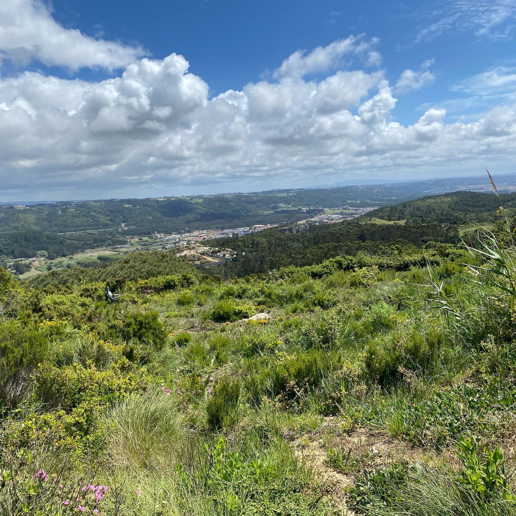
Gravel biking around Cela offers routes that traverse the landscape of central Portugal, often near the Atlantic coast. The region features a mix of rolling hills and coastal paths, providing varied terrain for gravel cyclists. Routes may pass historical sites and offer views of the surrounding countryside. The elevation gains are generally moderate, with some longer routes featuring more sustained climbs.
Best gravel bike trails around Cela
- The most popular gravel bike trail is Nazaré road to the top –…
Last updated: October 5, 2026
4.0
(1)
5
riders
46.7km
03:03
450m
450m
Moderate gravel ride. Good fitness required. Mostly paved surfaces. Suitable for all skill levels.
2
riders
43.2km
02:44
500m
500m
Hard gravel ride. Very good fitness required. Mostly paved surfaces. Suitable for all skill levels.

5.0
(1)
1
riders
10.1km
00:42
200m
200m
Moderate gravel ride. Good fitness required. Mostly paved surfaces. Suitable for all skill levels.
Our route recommendations are based on thousands of hikes, rides, and runs completed by other people on komoot.
Start today with a free account
Your next adventure awaits.
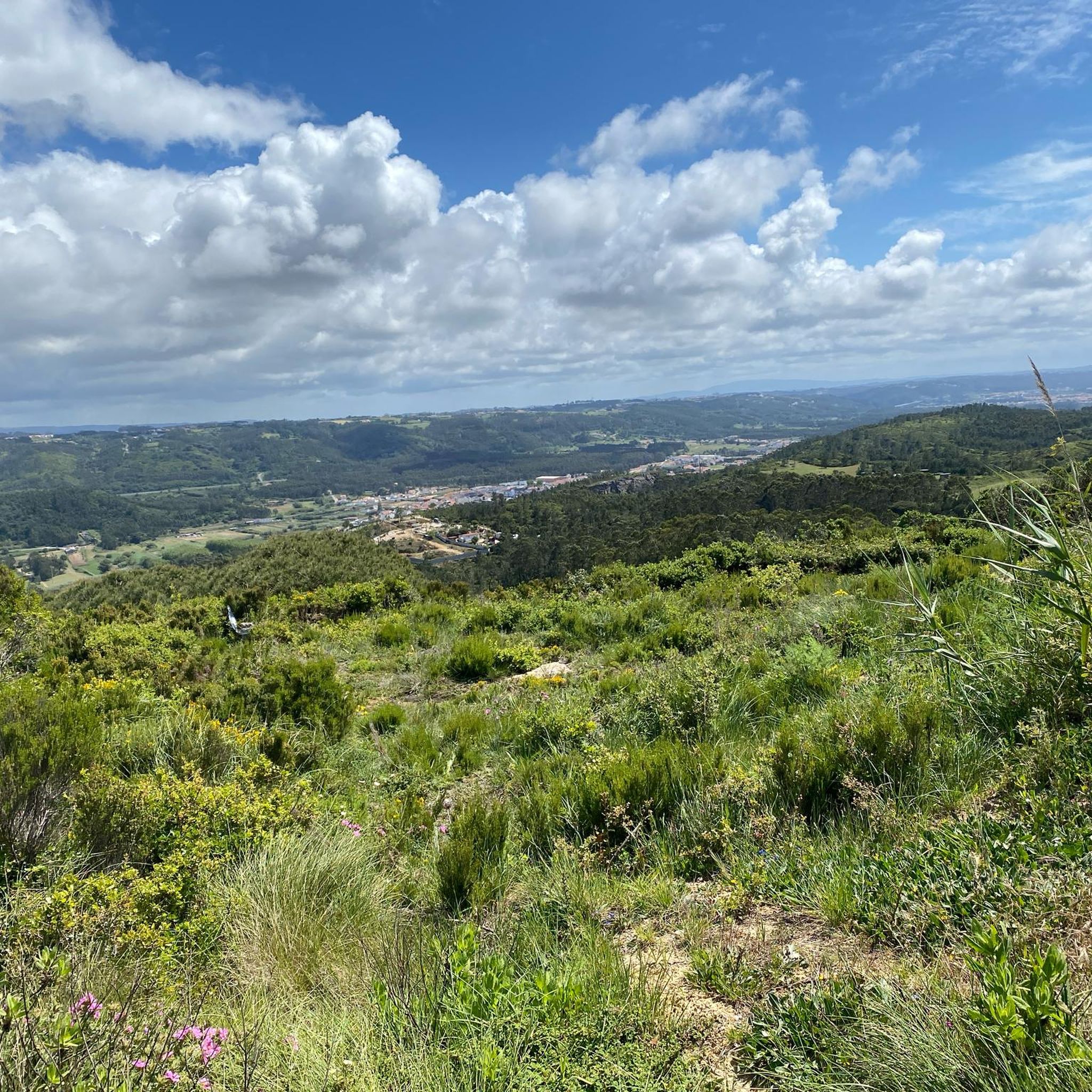
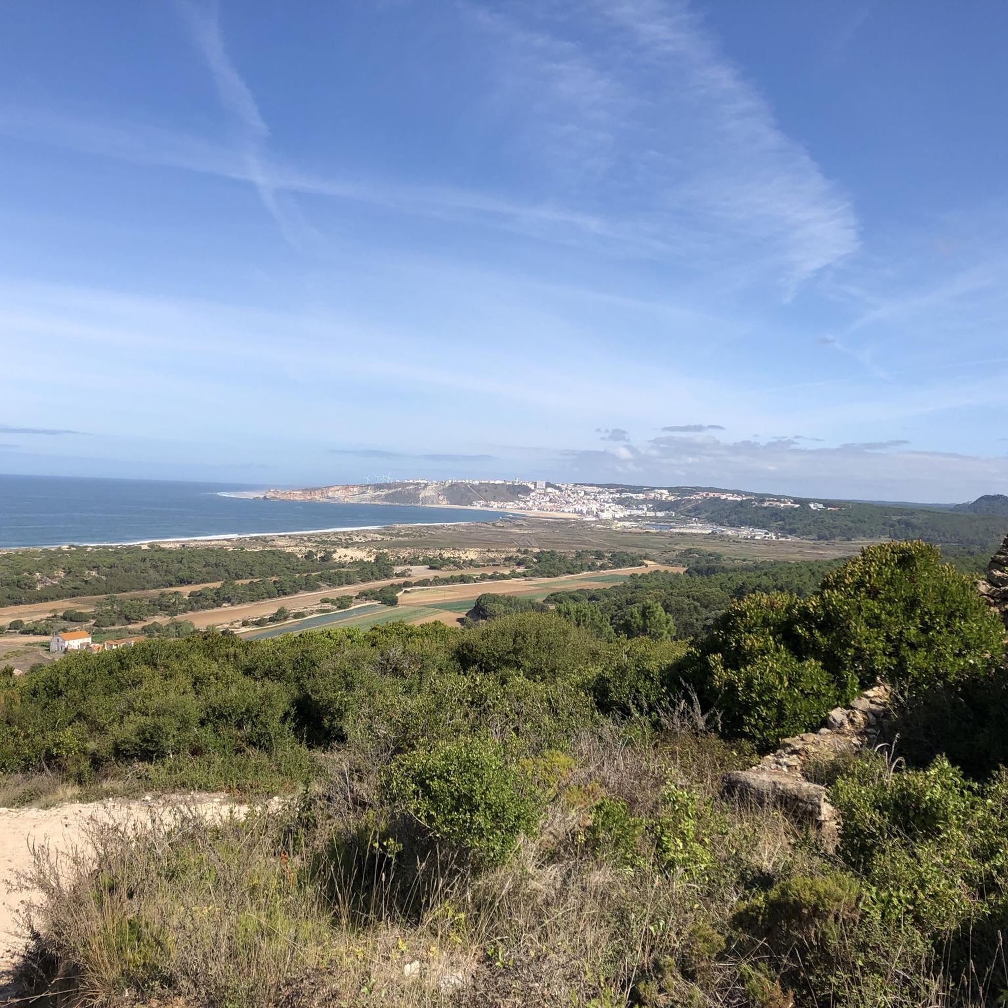
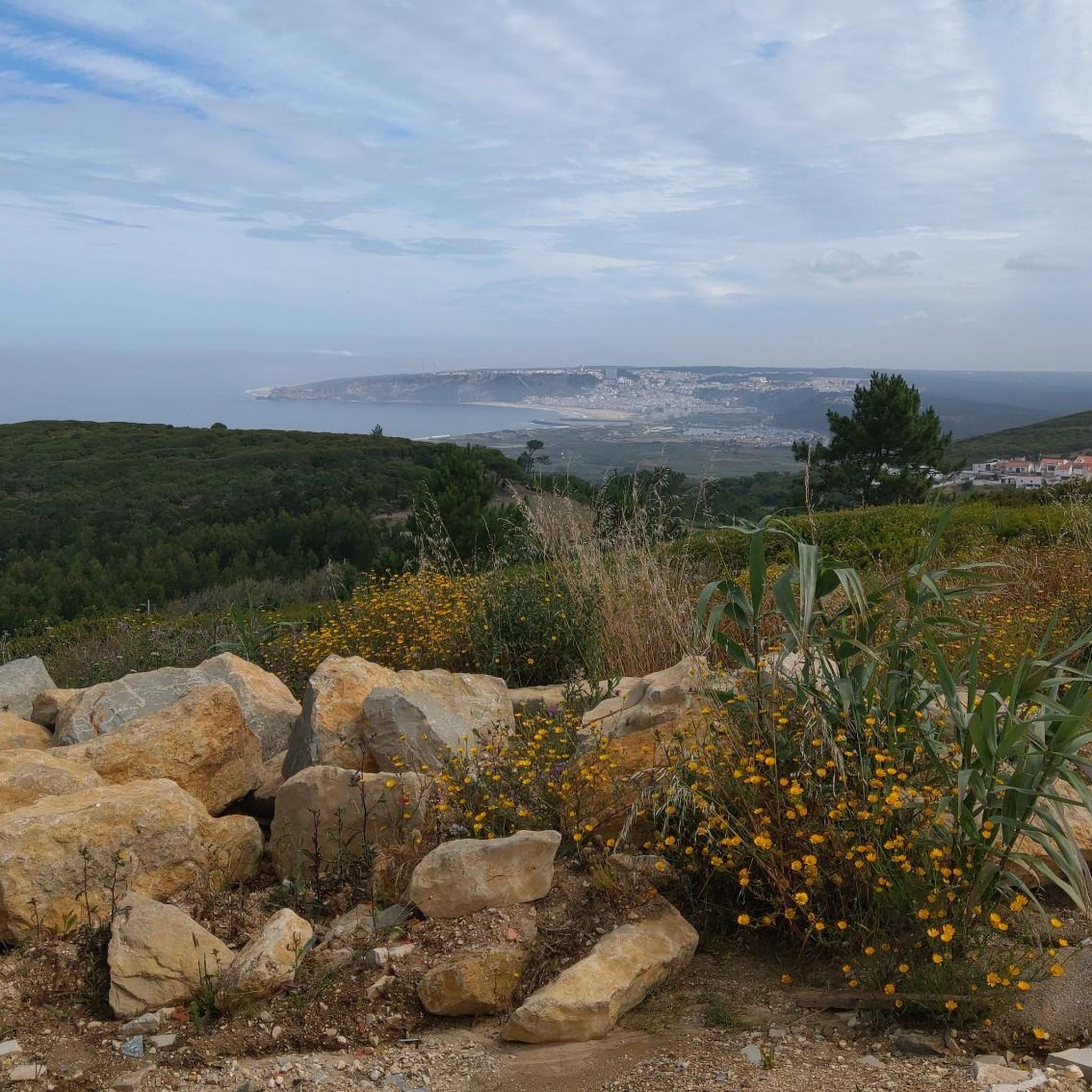
Tips from the Community


Opening Hours: The sanctuary is open every day, generally from 9 am to 6 pm. It is a place of worship, therefore masses are also held regularly. Price: Entry to the sanctuary is free. Accessibility: It has wheelchair accessible parking. How to Get There: Access to the site can be made by car or by the Nazaré Elevator (funicular), which connects the beach to the upper part of the city and provides a scenic route.
2
0
The Legend: The story of the image is told through the paintings in the church and sacristy, which allude to the miracle that occurred near the cliff. Location: The sanctuary is next to the famous Miradouro do Sítio da Nazaré (or Suberco), which offers a fantastic view of the beach and the village of Nazaré.
2
0
Architecture and History: The church was built on the site where, according to legend, the Virgin Mary saved the knight D. Fuas Roupinho from falling off the cliff. The facade has inscriptions in Latin, including "Deiparae Virgini a Nazareth" ("Virgin of Nazareth, Mother of God"). The interior houses the Sacred Image of the Black Virgin, carved in wood and which, according to tradition, was brought to the site in the year 711.
2
0
The Sanctuary of Our Lady of Nazaré is located in Sítio da Nazaré, the upper part of the town of Nazaré, in Portugal. It is a place of great religious and historical importance, intimately linked to the legend that gave rise to the devotion to Our Lady of Nazaré.
2
0

From the chapter house on the ground floor, a staircase leads up to the dormitory. This staircase was rediscovered during renovations beginning in 1930. Located on the first floor, the dormitory extends 66.5 meters in length and 21.5 to 17.5 meters in width along the entire east side of the medieval part of the abbey, thus covering an area of almost 1,300 square meters. In its current form, restored through renovation, it presents itself in its original medieval state. At the southern end, the dormitory opens with a large round-arched doorway to the northern transept of the church. A staircase formerly led down from there, as the Cistercian rule required two separate entrances to the communal sleeping quarters. At the northern end of the dormitory were the latrines, which—again according to a general rule of the order—had to be separated from the sleeping quarters by a separate room. The wastewater flowed into the abbey's garden on the north side. The monks slept together in the dormitory, fully clothed, separated from their neighbors only by a movable partition. The abbot alone had his own cell, located on the south side facing the church. This arrangement is typical of most Cistercian monasteries of this period. A narrow door in the center of the western side leads to a narrow spiral staircase, which today provides access to the kitchen, but in the Middle Ages led to the calefactory (warming room, see below). This staircase also provided access to the upper cloister. https://de.wikipedia.org/wiki/Kloster_Alcoba%C3%A7a
2
0
The entrance to the chapter house features a particularly striking facade with staggered columns. The chapter house served as the meeting place for the monks and was, after the church, the most important room in the monastery. It bears this name because the chapters of the Rule of St. Benedict were read aloud there daily. Elections and similar communal ceremonies of the monks also took place there. In the entrance area to the chapter house is the gravestone of an abbot whose identity is no longer known. The floor of the chapter house was formerly completely covered with such gravestones, as a Cistercian rule from 1180 stipulated that abbots had to be buried in the chapter house, meaning that the monks made their decisions on the graves of their deceased abbots. This type of burial was a significant exception to the general Cistercian rule, which forbade the burial of monks within the monastery. That's why you'll find a door leading south in the southern transept called the Porta da Morte (Door of Death), because deceased monks were carried out through it for burial. https://de.wikipedia.org/wiki/Kloster_Alcoba%C3%A7a
1
0
To the west of the new kitchen lies the refectory, the dining hall for the monks, a three-aisled hall measuring approximately 620 square meters (29 x 21.5 meters). Above its entrance, in medieval Latin, is the difficult-to-interpret inscription: "respicte quia peccata populi comeditis," meaning: "Remember that you are eating the sins of the people." The room impresses with its beautiful proportions. It has windows facing north and east, overlooking the new kitchen. On the west side, a stone staircase leads to the pulpit of the lector, who read from monastic texts during meals. The monks sat facing the walls and ate their meals in silence. The abbot sat with his back to the north wall, observing the proceedings. At the southern end of the west side, the refectory opens into the former medieval kitchen, now a side room leading to the cloister of the Cathedral of Afonso VI. A few meters further along, another opening can be found in the same wall, two meters high and 32 cm wide. It leads to the aforementioned side room, and there is no scientifically sound explanation for it. A long-standing legend claims that this opening served to monitor the monks' weight. They were supposed to pass through this door once a month, which is only possible by leaning sideways. If they were too heavy, they were put on a diet. The damage caused by the conversion of the refectory into a theater in 1840 (with 301 seats, 120 of which were in the galleries, and 5 boxes) was largely repaired during the restoration. https://de.wikipedia.org/wiki/Kloster_Alcoba%C3%A7a
1
0
Frequently Asked Questions
How many gravel bike trails are available around Cela?
There are 4 gravel bike routes around Cela, offering a mix of coastal paths and inland rides for various skill levels.
What kind of terrain can I expect on gravel bike routes near Cela?
The region features a mix of rolling hills and coastal paths, providing varied terrain for gravel cyclists. Routes often traverse the landscape of central Portugal, sometimes near the Atlantic coast.
Are there any family-friendly gravel bike routes in Cela?
For a shorter, more accessible ride, the Chafariz da Cela Nova loop from Cela is a moderate 10.1 km (6.3 miles) trail through local countryside, often completed in about 50 minutes, making it suitable for families looking for a less strenuous option.
What are some scenic highlights or landmarks I can see while gravel biking around Cela?
Many routes offer views of the surrounding countryside and connect historical sites. For example, the Alcobaça Monastery – Alcobaça Castle loop from Alcobaça passes by significant historical landmarks. You can also explore nearby attractions like the impressive Alcobaça Monastery or the dramatic Nazaré — Giant Waves.
Are there challenging gravel bike routes for experienced riders in Cela?
Yes, for experienced riders seeking a challenge, the Alcobaça Monastery – Alcobaça Castle loop from Alcobaça is a difficult 42.9 km (26.7 miles) path featuring significant elevation gain and historical landmarks.
Are there any gravel bike routes that offer coastal views?
Absolutely. The Nazaré road to the top – Atlantic Coast Cycle Path loop from Centro is a popular 46.6 km (29.0 miles) route that offers a blend of stunning coastal views and inland riding.
What do other gravel bikers say about the routes in Cela?
The routes in Cela are highly rated by the komoot community, with an average score of 4.7 stars from 3 reviews. Users often praise the varied terrain, which includes both coastal paths and rolling hills, and the opportunity to connect with historical sites.
Can I find circular gravel bike routes around Cela?
Yes, all the featured gravel bike routes around Cela are loops. For instance, the Chafariz da Cela Nova loop from Cela and the Gravel loop from Cela are both excellent circular options.
What is the longest gravel bike route available near Cela?
The longest gravel bike route is the Nazaré road to the top – Atlantic Coast Cycle Path loop from Centro, which spans 46.6 km (29.0 miles) and typically takes around 3 hours and 2 minutes to complete.
Are there any natural monuments or unique geological features to see while cycling?
Beyond the cycling routes, the region boasts natural attractions such as the Salir do Porto Dune and Fonte Pena da Colvina. You can also discover Dinosaur Footprints in the wider area, offering unique sights off the bike.
What is the typical elevation gain on gravel bike routes in Cela?
The elevation gains are generally moderate, with some longer routes featuring more sustained climbs. For example, the difficult Alcobaça Monastery – Alcobaça Castle loop from Alcobaça has an elevation gain of over 500 meters.
Most popular attractions around Cela

Get inspired with the komoot mobile app


Explore more
Browse the best Gravel rides in other regions.
