The best gravel rides around gmina Kęty
4.6
(12)
108
riders
19
rides
Gravel biking around gmina Kęty offers routes through a diverse landscape characterized by river valleys, extensive forests, and several reservoirs. The region features a mix of flat sections along waterways and gently rolling terrain, providing varied conditions for gravel cyclists. Trails often pass by natural water bodies like the Vistula River and Lake Paprocany, as well as historical sites. This area provides a blend of natural scenery and accessible paths suitable for exploring on a gravel bike.
Best gravel bike…
Last updated: October 20, 2026
4.0
(1)
19
riders
44.6km
02:30
120m
120m
Moderate gravel ride. Good fitness required. Mostly paved surfaces. Suitable for all skill levels.
8
riders
50.9km
02:49
140m
140m
Moderate gravel ride. Good fitness required. Mostly paved surfaces. Suitable for all skill levels.

4.0
(1)
9
riders
42.4km
02:56
360m
360m
Moderate gravel ride. Good fitness required. Mostly paved surfaces. Suitable for all skill levels.
2
riders
24.0km
01:41
480m
480m
Hard gravel ride. Very good fitness required. Mostly paved surfaces. Suitable for all skill levels.
5
riders
37.0km
02:06
90m
90m
Moderate gravel ride. Good fitness required. Mostly paved surfaces. Suitable for all skill levels.
Get access to more routes and recommendations from other explorers.
Already have an account?
Our route recommendations are based on thousands of hikes, rides, and runs completed by other people on komoot.
Start today with a free account
Your next adventure awaits.
Tips from the Community

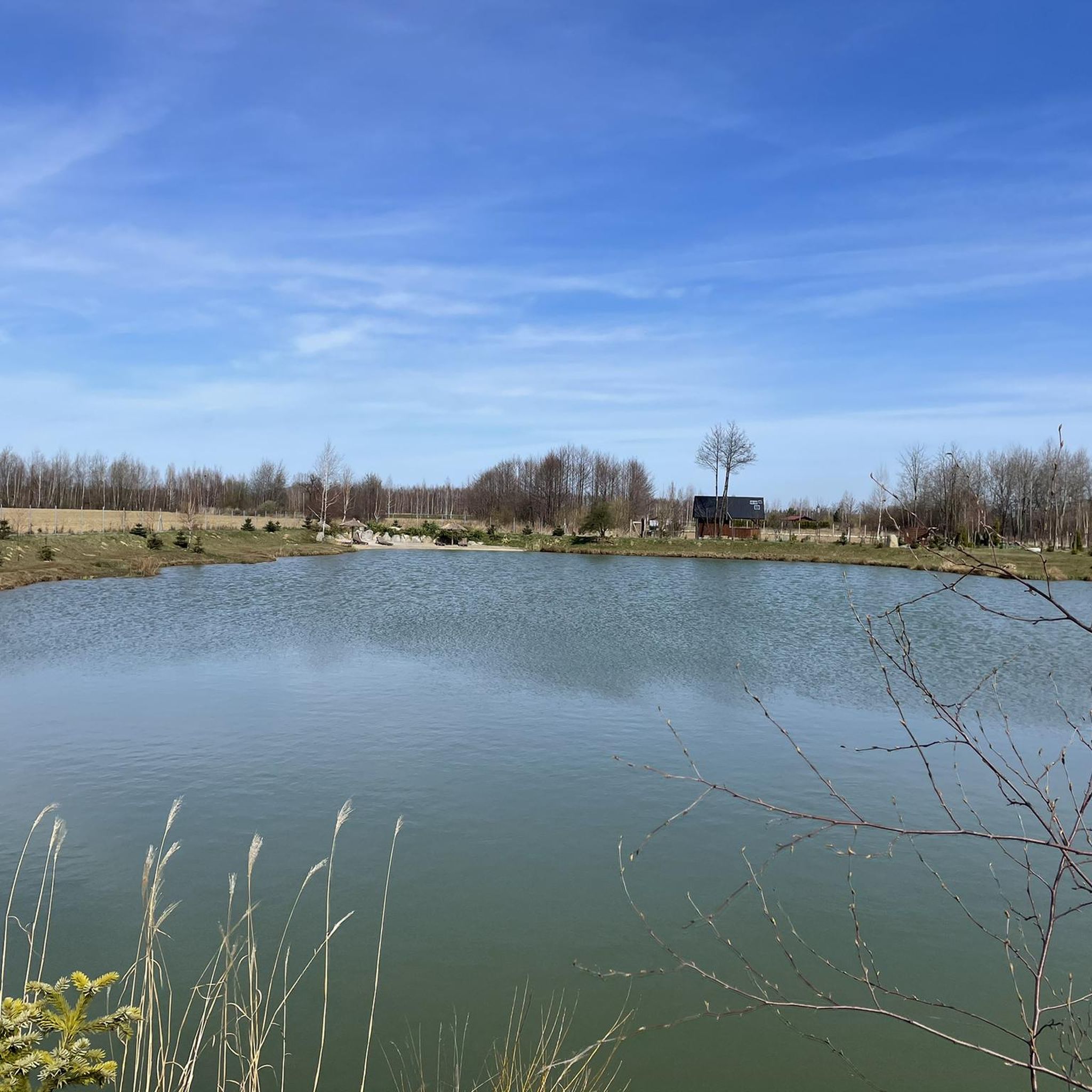
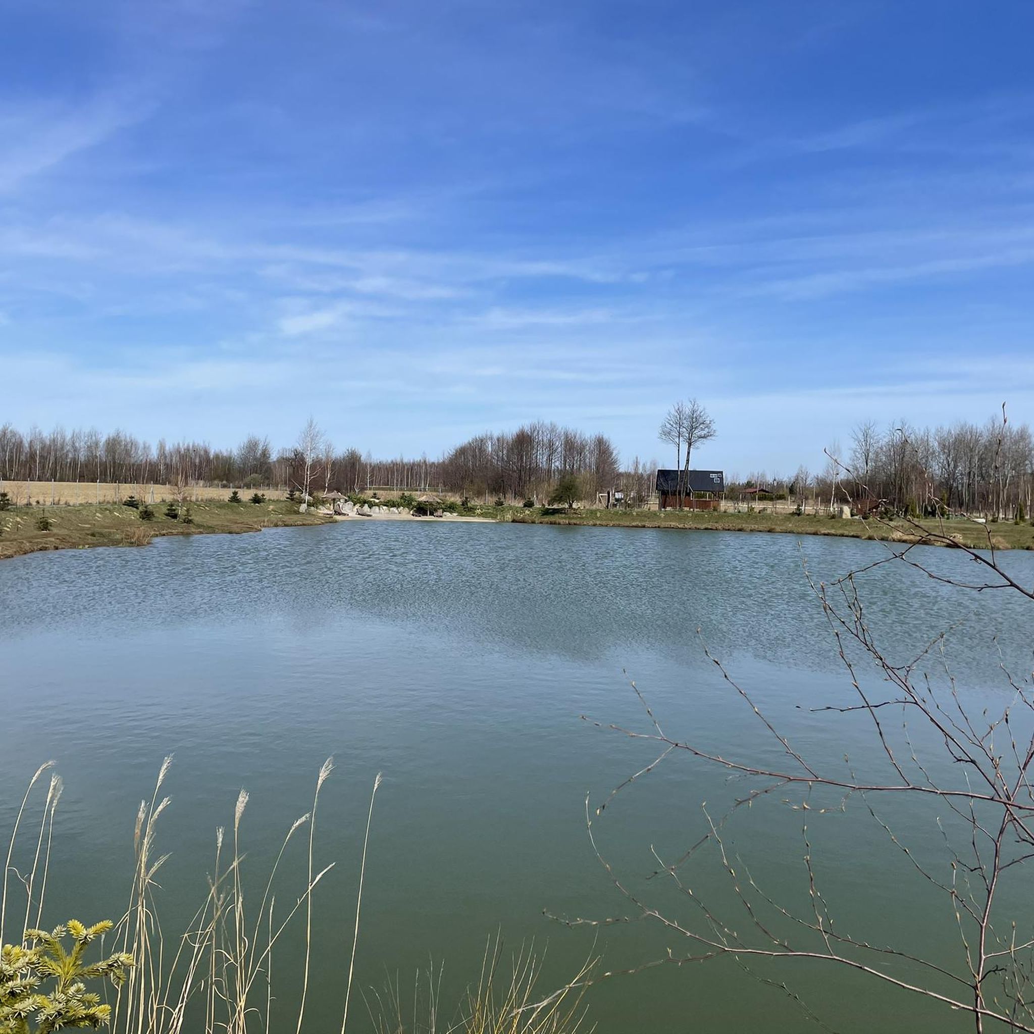
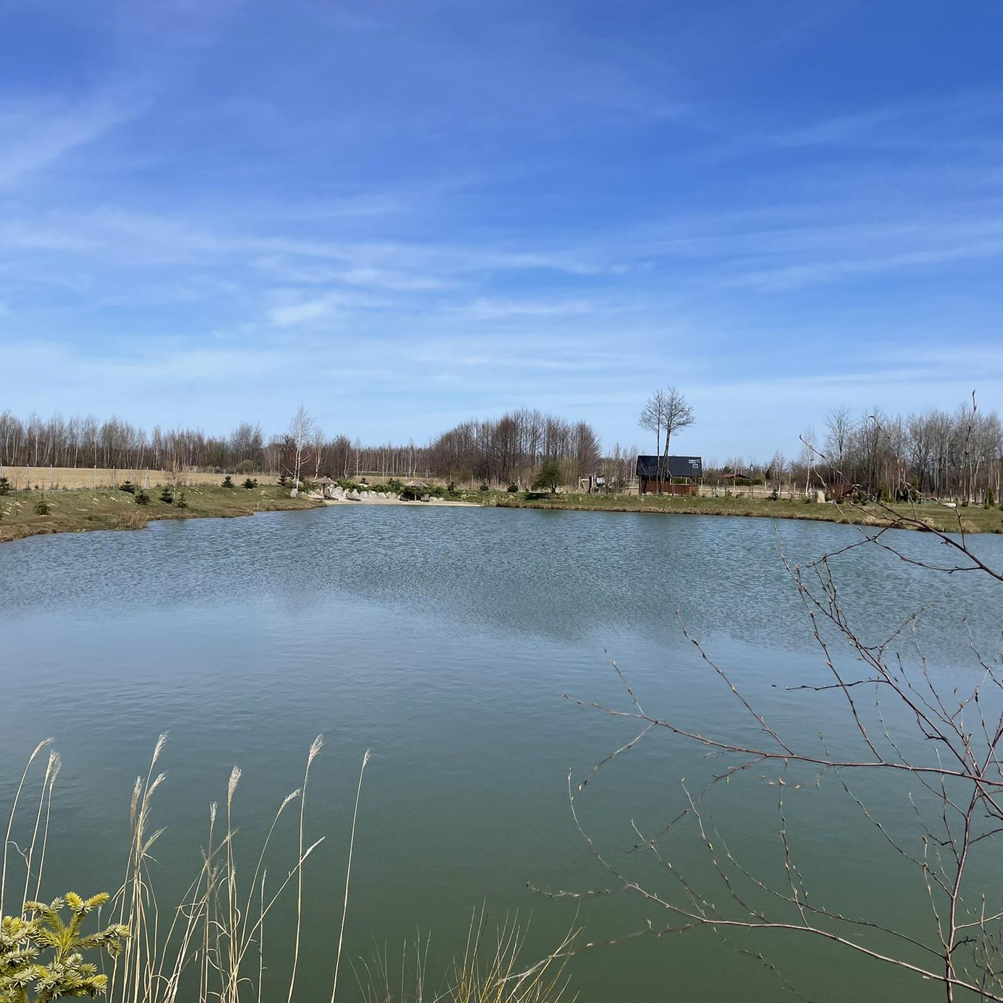
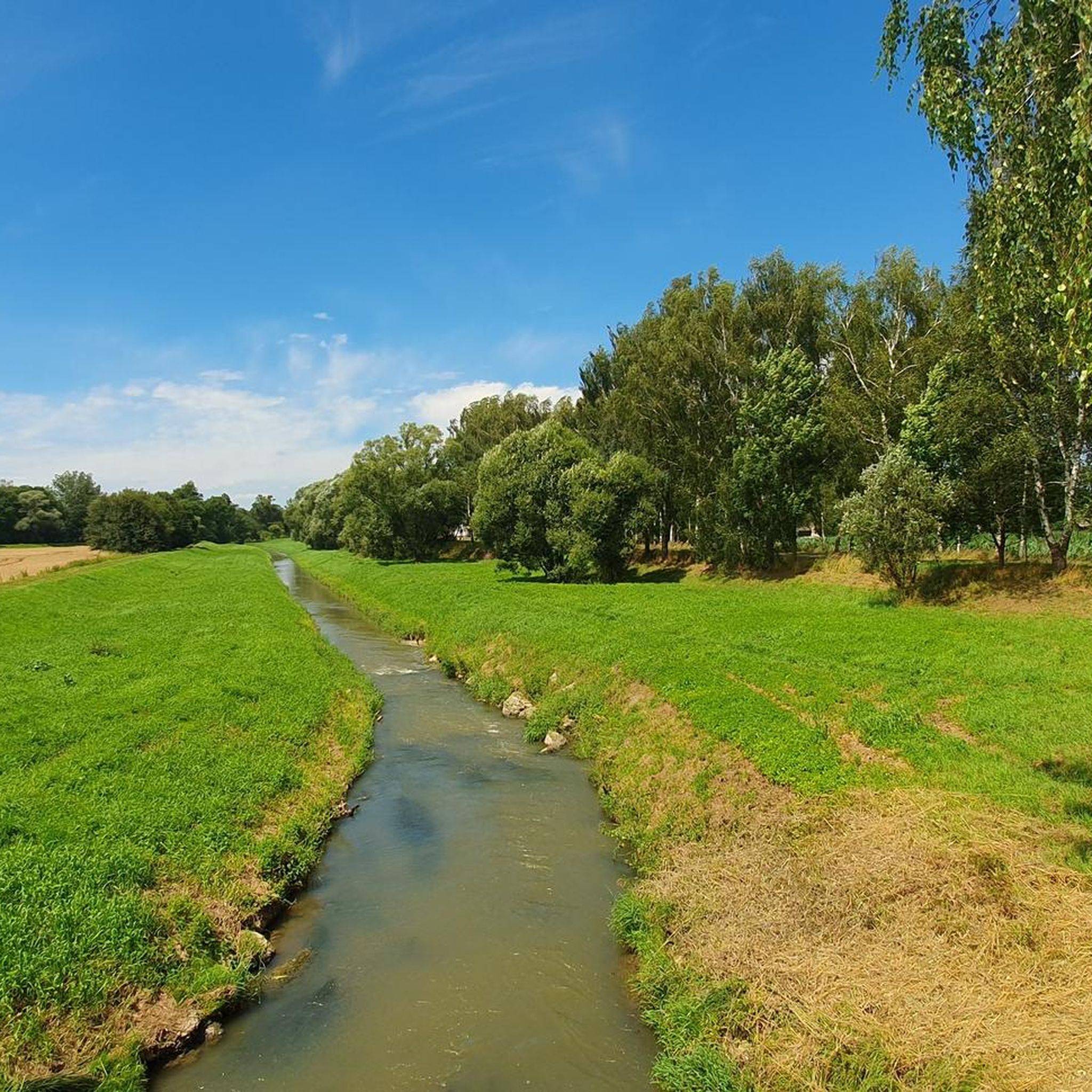
Well-maintained gravel and dirt fire access roads lead to the pond. The route is fully passable for gravel bikes, trekking bikes, and MTBs. Unlike the popular routes around Paprocany, the sounds of civilization are almost inaudible here. It's a great place to get off your bike for a moment and listen to the birdsong. The Żebrok pond lies on an ideal route connecting Lake Paprocańskie (via Promnice and the Korzeniec stream valley) with Jankowice or Pszczyna. It can easily be combined into a loop with the Dulniok pond. A great spot for a peaceful photo stop or regeneration in the shade of the trees! 📸
1
0
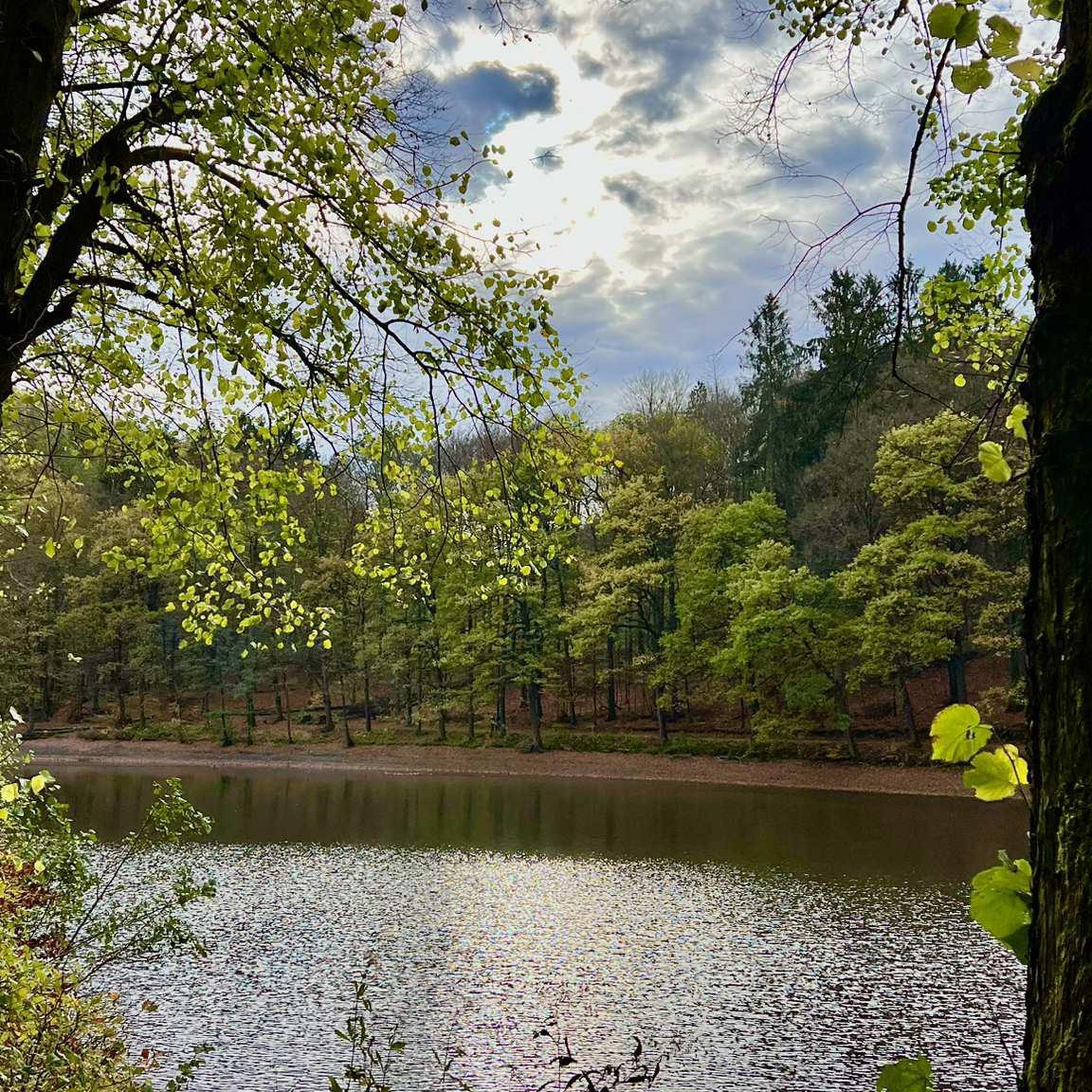
Staw Żebrok is a charming and extremely quiet forest reservoir, located in the Pszczyna Forests, ideal for escaping the hustle and bustle and resting on the route. The reservoir has undergone extensive revitalization by the Kobiór Forest District. It serves a retention and fire-prevention function, and due to its wild character, it has become a haven for waterfowl, amphibians, and forest wildlife. Year by year, the surroundings are becoming more natural, adding to its unique, primeval atmosphere.
1
0
End of a good gravel road. I rode it today and there have been roadworks for three days. There will be asphalt on the entire section. From ul. Borowiec in Zaborze to Zalesie in Poręba Wielka. Most residents are not happy (asphalt is supposedly great, but traffic will increase and the quiet place will no longer be so quiet).
2
0

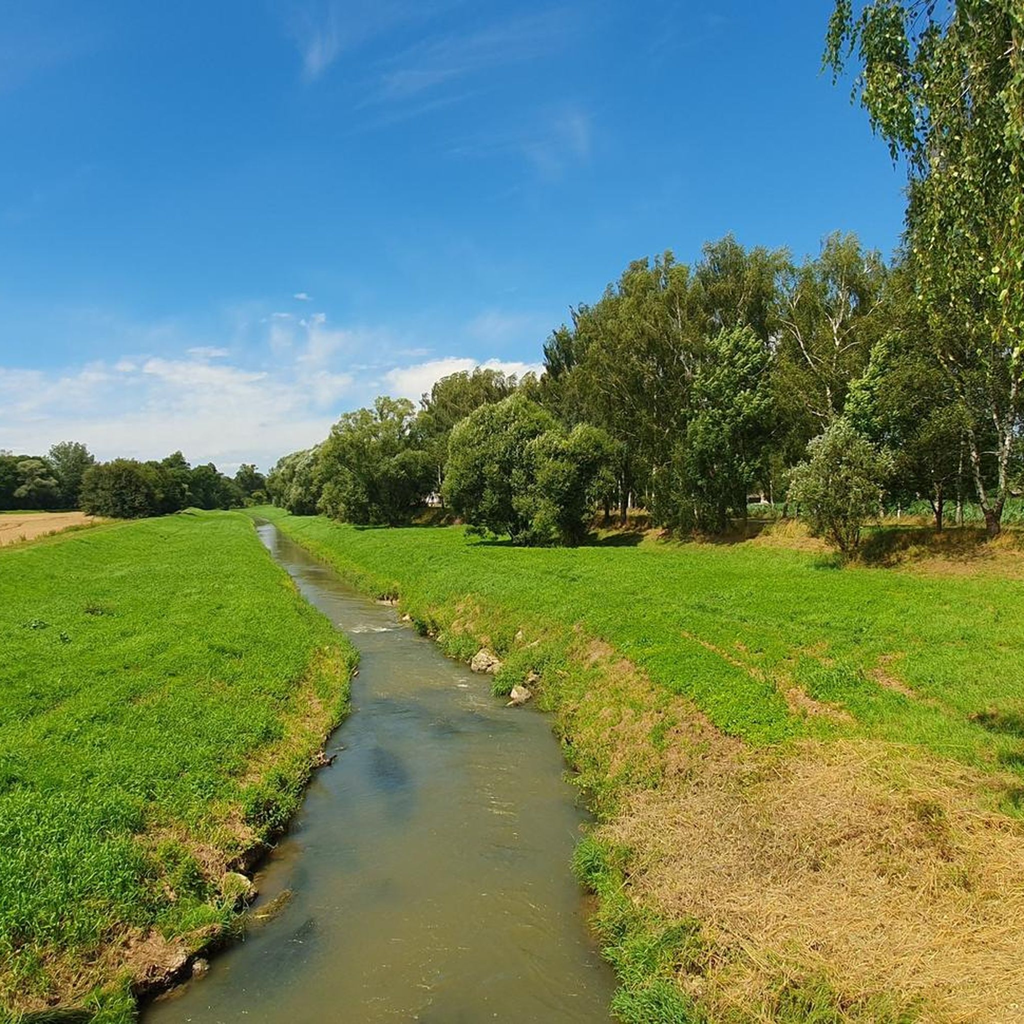
Bridge over the river Sola for pedestrians and cyclists, narrow passage between the boundary pillars at the beginning and end of the bridge.
0
0

Quick way to get up and down. The bike park also makes a good impression, but I haven't tested it.
0
0

The path around the reservoir is mostly paved with concrete slabs, so it's not a cyclist's dream... Fortunately, large sections are laid in such a way that there is a strip of bare earth/sand between the slabs in the middle, so you can stubbornly ride there, avoiding the slabs.
0
0

The Castle in Oświęcim is a medieval defensive stronghold located on a hill on the right bank of the Soła River. Currently, the site is home to the Museum of the Castle in Oświęcim, which presents the rich history of the city, the former Duchy of Oświęcim, and valuable historical and archaeological collections. It was here that a great diplomatic turning point occurred: in 1454, the last Piast duke of this region, Jan IV, bowed to the might of Poland and ceded the castle and his entire duchy as a fief to King Casimir Jagiellon. Three years later (in 1457), he completely sold these lands to him. The castle ceased to be a Silesian borderland and became Polish royal property for centuries. It is worth taking a look at the mighty, 13th-century Gothic tower, which remembers those events and that agreement! The history of the castle in Oświęcim dates back to the 11th century, when there was an early medieval agricultural settlement on the hill above the Soła. After it burned down, a fortified castellany stronghold was erected here. The first official documentary mention of it dates from 1179. It was then that King Casimir the Just transferred these lands to the Duke of Opole, Mieszko Plątonogi. Early Gothic tower – dates from the end of the 13th century, it is a defensive building type (bergfried) and is one of the oldest preserved brick structures in Lesser Poland. Royal history – the castle hosted prominent historical figures, including the future Queen of Poland, Bona Sforza. Underground tunnels – there are two corridors under the castle, including an air-raid shelter built by the Germans during World War II. Address: ul. Zamkowa 1, 32-600 Oświęcim Opening hours: Tuesday to Sunday from 10:00 AM to 6:00 PM (the museum is closed on Mondays).
1
0
Surface: Natural, dirt-and-gravel path running along embankments and dikes. In places, it can be muddy or overgrown with grass after rainfall. Gravel / MTB / trekking tires will work best. Number and names of reservoirs: Officially, it is a complex of 9 ponds (Krzemieńczyk Duży, Adam Duży, Średni, Górny, Zimowy, Letni, Malinowski, and the Kościelecki I and II, divided by a dike). In the terrain, considering small hydrological cutoffs, up to 10 can be counted. Nature and protection: Natura 2000 protected area (Dolina Dolnej Soły) and a natural-landscape complex. Breeding ground for rare birds, including the white-winged tern. Beautiful views of the water surfaces and reed beds can be seen from the dikes. Route connection: The complex borders the Soła river embankments to the west and smoothly transitions into the Grojeckie Ponds area to the south. It offers an excellent, car-free connection between the southern districts of Oświęcim and Zaborze and Grojec.
2
0
Frequently Asked Questions
How many gravel bike trails are available in gmina Kęty?
Gmina Kęty offers a wide selection of gravel biking routes, with over 40 trails to explore. These routes cater to various skill levels, from moderate to more challenging rides.
Are there any easy gravel bike trails suitable for beginners in gmina Kęty?
Yes, gmina Kęty has several routes suitable for beginners. While many routes are moderate to difficult, you can find easier sections, particularly along river paths and less elevated terrain. For a less strenuous ride, consider exploring routes that stick to the flatter sections along the Vistula River.
What are the best times of year for gravel biking in gmina Kęty?
The best times for gravel biking in gmina Kęty are generally spring and autumn, when the weather is mild and the natural scenery is vibrant. Summer can also be pleasant, especially for routes that offer shade through forests or along water bodies. Always check local weather conditions before heading out.
Are there any circular gravel bike routes in gmina Kęty?
Many of the gravel bike routes in gmina Kęty are designed as loops, allowing you to start and finish at the same point. An example is the Lake Paprocany – Pszczyna Castle Park loop from Dankowice, which offers scenic views and passes through a historic park.
What kind of scenery can I expect on gravel bike trails in gmina Kęty?
Gravel bike trails in gmina Kęty offer diverse scenery, including river valleys, extensive forests, and several reservoirs. You'll find routes passing by natural water bodies like the Vistula River and Lake Paprocany, as well as historical sites. The region features a mix of flat sections along waterways and gently rolling terrain.
Are there any gravel bike routes that pass by interesting landmarks or attractions?
Yes, several routes offer opportunities to see local attractions. For instance, the Lake Paprocany – Pszczyna Castle Park loop from Dankowice takes you through the historic Pszczyna Castle Park. You can also find routes near the Porąbka Dam or the Komorowickie Ponds, which are popular local highlights.
What do other gravel bikers enjoy most about gmina Kęty?
The gravel biking experience in gmina Kęty is highly rated by the komoot community, with an average score of 4.7 stars. Reviewers often praise the varied terrain, combining river paths, forest sections, and reservoir-side routes, as well as the blend of natural scenery and accessible paths.
Are there any challenging gravel bike trails for experienced riders in gmina Kęty?
Yes, gmina Kęty offers several challenging routes for experienced gravel bikers. The Chechło Beach – Dulowska Forest loop from Oświęcim is a demanding 91.9-mile trail with significant elevation gain, combining lakeside riding with dense forest sections. Another challenging option is the Bicycle Path Along the Vistula – Goczałkowice Reservoir Dam loop from Dankowice.
Can I find routes that offer scenic viewpoints in gmina Kęty?
While gmina Kęty is characterized by river valleys and forests, some routes offer elevated sections or clearings that provide scenic views, particularly over reservoirs or across open landscapes. For specific viewpoints, you might explore areas near Potrójna, which is known for its scenic outlooks.
Are there any gravel bike routes near Oświęcim in gmina Kęty?
Yes, there are several gravel bike routes accessible from Oświęcim. A notable option is the Oświęcim Castle – Vistula Oxbow Lake loop from Oświęcim, which offers a ride through local history and natural beauty. Another route starting from Oświęcim is the Dziećkowice Reservoir – Dziećkowice Reservoir loop from Oświęcim.
What kind of terrain can I expect on gravel bike trails in gmina Kęty?
The terrain in gmina Kęty is varied, featuring a mix of gravel paths, forest tracks, and paved sections. You'll encounter flat stretches along riverbanks and reservoirs, as well as gently rolling hills, providing a diverse experience for gravel cyclists.
Are there any places to stop for refreshments or cafes along the gravel routes?
While specific cafes on every route are not guaranteed, many routes pass through or near towns and villages where you can find local establishments for refreshments. Larger attractions like the Molo Resort in Osiek, located near some of the lake routes, could be a good option for a break.
Most popular routes around gmina Kęty
Most popular attractions around gmina Kęty

Get inspired with the komoot mobile app


Explore more
Browse the best Gravel rides in other regions.
