The best gravel rides around Philomath
4.7
(12)
51
riders
11
rides
Gravel biking around Philomath, Oregon, offers diverse terrain within the Willamette Valley, bordered by the Coast Range. The region features a network of gravel and forest roads, alongside lush green scenery and serene creeks. Riders can explore routes that traverse rolling hills and ascend towards higher elevations, providing a varied experience. The landscape is characterized by its blend of agricultural lands and dense woodlands, with prominent features like Marys Peak and Dimple Hill shaping the riding environment.
Best gravel bike…
Last updated: July 11, 2026
5.0
(8)
26
riders
39.1km
02:23
600m
600m
Hard gravel ride. Very good fitness required. Mostly paved surfaces. Suitable for all skill levels.
5.0
(3)
9
riders
36.5km
02:31
780m
780m
Hard gravel ride. Very good fitness required. Mostly paved surfaces. Suitable for all skill levels.

Sign up for free
4.0
(1)
1
riders
15.4km
01:18
520m
520m
Hard gravel ride. Very good fitness required. Mostly paved surfaces. Suitable for all skill levels.
7
riders
Hard gravel ride. Very good fitness required. Mostly paved surfaces. Suitable for all skill levels.
8
riders
22.8km
01:25
380m
380m
Moderate gravel ride. Good fitness required. Mostly paved surfaces. Suitable for all skill levels.
Get access to more routes and recommendations from other explorers.
Sign up for free
Already have an account?
Our route recommendations are based on thousands of hikes, rides, and runs completed by other people on komoot.
Start today with a free account
Your next adventure awaits.
Login or Signup




Tips from the Community

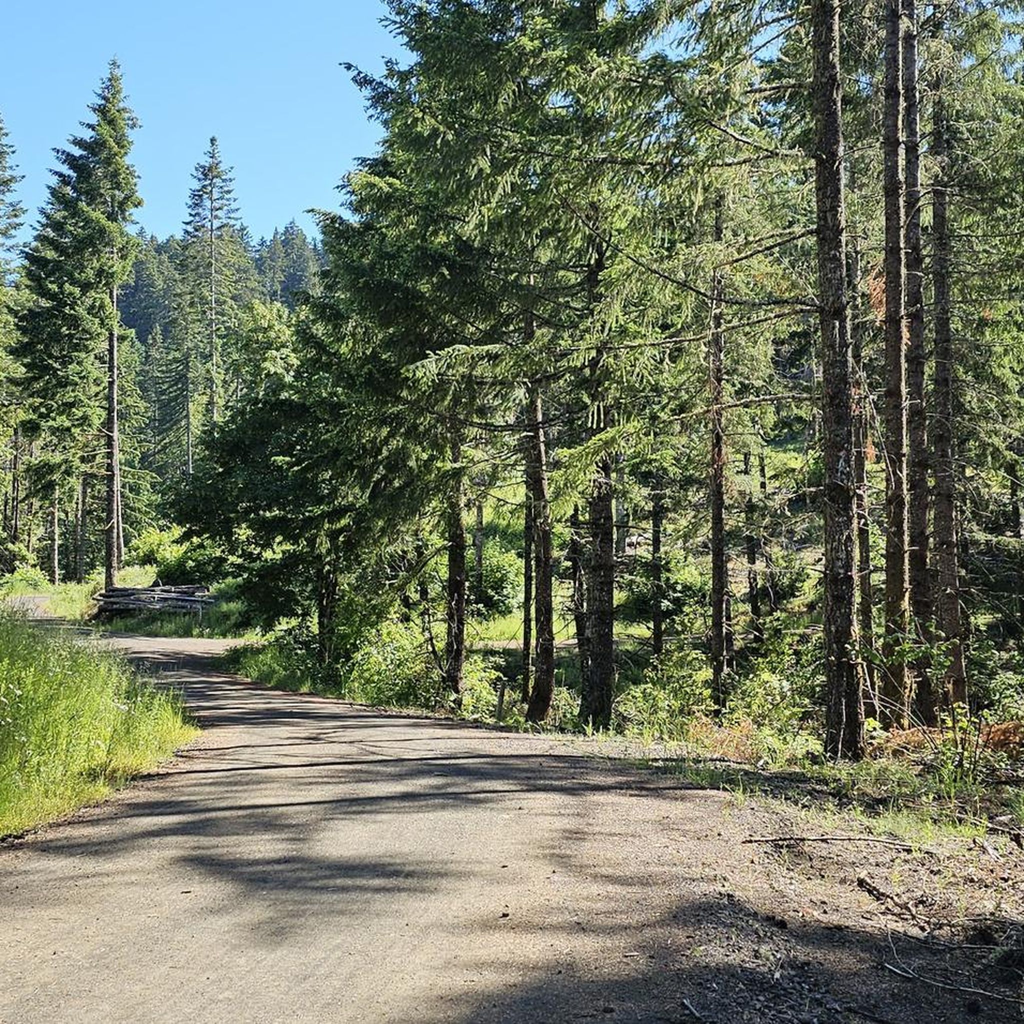
Sulphur Springs Road is the route to take up to Lewisburg Saddle, which is an intersection with parking and access to various trails. This road is open to bikes and cars.
0
0

The saddle has a parking lot with restrooms, and access to a handful of great easy riding trails through the woods.
0
0
A long botanical pond with water features lines the west side of this pretty residential street.
0
0
Just below the summit the trees open up, and you get a panoramic view south over Philomath and the mountains by Corvallis Watershed.
0
0

As you continue along the upper part of forest service road, you’ll pass a gate and a sign directing you to the C2C trail. If you started from Corvallis follow the signs and turn left onto the North Ridge Extension Trail. The North Ridge Extension Trail is closed to bicycles from October 16 through May 15. Woods Creek Road runs parallel and remains open all year round, so if you prefer this route, continue straight and make a left. If you are coming from the North Ridge Extension Trail, you can make a right here to head toward Old Peak Road.
0
0

An old gravel road takes you right up to the top of McCulloch Peak, the highest point in McDonald Research Forest. You can get great views of Bald Hill and Dimple Hill from here.
1
0
The Corvallis-Philomath Multi-Modal Path is a 3.25-mile section of the larger Corvallis-to-the-Sea (C2C) Trail. The Corvallis-to-the-Sea Trail is 62 miles long and not all of the trail is approved for bicycles.
0
0

Crestmont Land Trust is 172 acres in size and made up of hardwood and conifer trees, oak savanna, prairie meadows, and riparian areas. There are networks of multi-use trails that run through the land, and you should not be surprised if you see a cow, as there is open grazing in this area.
0
0
Frequently Asked Questions
How many gravel bike trails are available around Philomath?
There are over 10 gravel bike trails around Philomath, offering a variety of experiences for riders. These routes are highly rated by the komoot community, with an average score of 4.5 stars from over 9 reviews.
What kind of terrain can I expect on gravel bike trails near Philomath?
Gravel biking around Philomath offers diverse terrain, from rolling hills in the Willamette Valley to ascents towards higher elevations in the Coast Range. You'll encounter a mix of gravel and forest roads, often winding through lush green scenery and serene creeks. Some routes, like those leading towards Dimple Hill, involve significant climbs.
Are there any family-friendly gravel biking options in Philomath?
While many routes are rated as difficult, the region does offer some sections suitable for a more relaxed pace. The Corvallis-Philomath Multi-Modal Path, part of the larger Corvallis-to-the-Sea Trail, provides a paved option for families. For gravel, consider exploring sections of the Bald Hill gravel path which connects to paved bike paths, or the well-maintained Harry R. Patterson Road which has a gradual incline.
Can I bring my dog on the gravel bike trails?
Many of the gravel roads and forest trails in the Philomath area are dog-friendly, especially those managed by the Forest Service or within Starker Forests (with a permit). Always ensure your dog is under control and check specific trail regulations before heading out. Remember to pack water for your dog and clean up after them.
What are some notable landmarks or scenic viewpoints along the gravel routes?
Many routes offer stunning views. Marys Peak, the highest point in the Coast Range, provides breathtaking vistas of the valley, Mt. Hood, and Three Fingered Jack. Dimple Hill is another prominent feature offering great views. You might also encounter the historic wagon road on NW Cardwell Hill Dr. or the serene Harry R. Patterson Road.
Are there any circular gravel bike routes around Philomath?
Yes, many of the gravel routes around Philomath are designed as loops. For example, the Daves Road 580 – Dimple Hill loop from Brandis Natural Area and the Harry R. Patterson Road – Cronemiller Lake loop from Corvallis are popular circular options that allow you to start and end in the same location.
What is the best time of year for gravel biking in Philomath?
Philomath's temperate climate, with mild, wet winters and warm, dry summers, makes it suitable for year-round outdoor recreation. However, the best time for gravel biking is typically during the warmer, drier months from late spring to early fall to avoid muddy conditions on unpaved roads. Always check local weather and trail conditions before you go.
Are permits required for any gravel trails in the Philomath area?
Yes, some areas, particularly those on private timber lands like Starker Forests, may require permits. For instance, riding on Old Peak Road, which includes Forest Service roads and single-track dirt trails, requires a permit from Starker Forests Offices. It's always best to check with local land managers before your ride.
Where can I find parking for gravel biking trailheads in Philomath?
Parking is available at various access points. For routes like the Daves Road 580 – Dimple Hill loop, you can often find parking near Brandis Natural Area. For trails connecting to the Corvallis-to-the-Sea Trail, look for designated parking areas in Philomath or Corvallis. Specific trailheads like Oak Creek Trailhead also offer parking.
Are there any long-distance gravel routes or multi-day options?
While most listed routes are day trips, the region is part of the larger Corvallis-to-the-Sea (C2C) Trail. Although not all sections are approved for bicycles, the C2C trail offers potential for longer adventures by connecting various segments. The Botanical Pond and Fountains – Harris Bridge loop is a longer, more challenging ride at over 43 miles.
What should I bring for a gravel bike ride in Philomath?
Given the varied terrain and potential for remote sections, it's advisable to bring essential repair tools, extra water, snacks, and a first-aid kit. A reliable navigation device is also recommended, as some forest roads can be less clearly marked. Be prepared for changing weather conditions, especially if riding in the Coast Range.
Are there any routes that connect historical sites?
Yes, the Ft. Hoskins to Valsetz Gravel Ride is a notable route that travels between two historical sites: Ft. Hoskins and the former timber town of Valsetz. This route incorporates a mix of county roads that turn to gravel and follows an old railroad grade, offering a unique historical perspective on your ride.
Most popular attractions around Philomath

Get inspired with the komoot mobile app


Explore more
Browse the best Gravel rides in other regions.
