The best gravel rides around Tigard
4.9
(14)
115
riders
5
rides
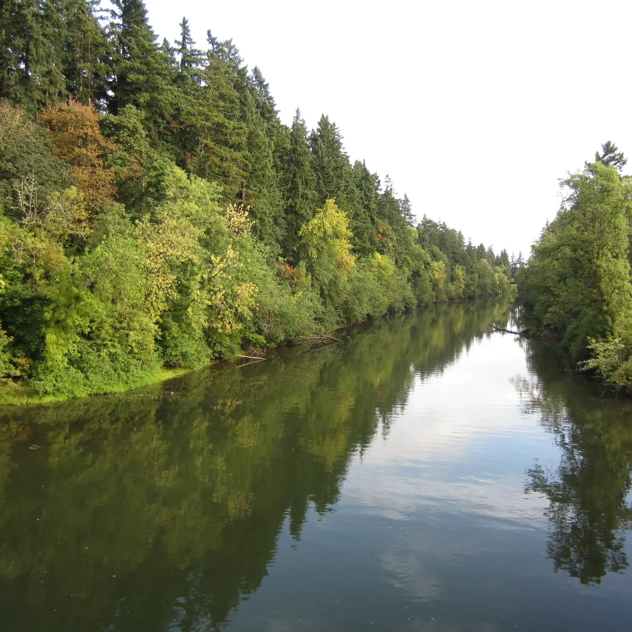
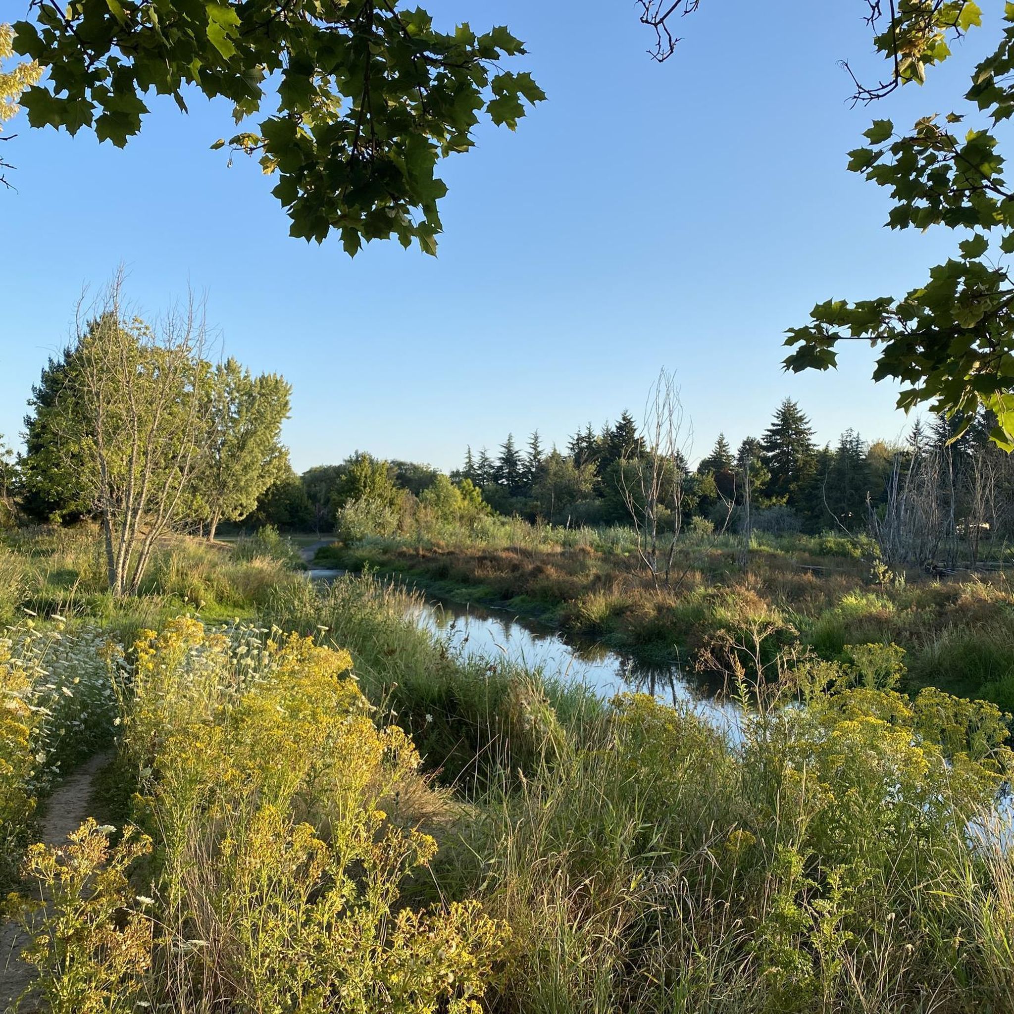
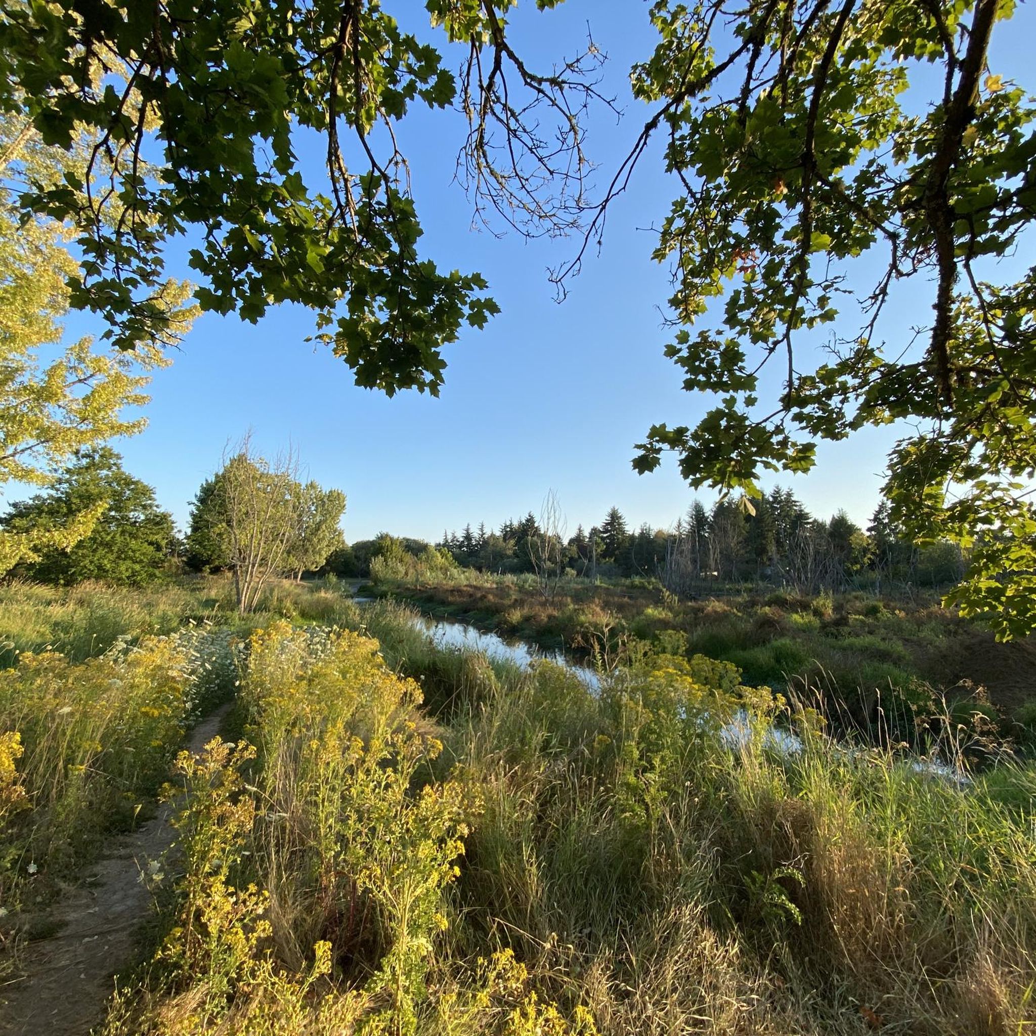
Gravel biking around Tigard, Oregon, offers diverse terrain across an extensive network of parks, greenways, and natural spaces. The region features a mix of mature forests, wetlands, and open areas, providing varied surfaces for gravel cyclists. Unpaved paths and connector trails wind through these landscapes, offering routes alongside Fanno Creek and access to the Tualatin River. The topography includes gentle gradients within parks and more challenging elevation gains on longer routes.
Best gravel bike trails around Tigard
- The most popular…
Last updated: October 15, 2026
4.8
(13)
67
riders
Hard gravel ride. Very good fitness required. Mostly paved surfaces. Suitable for all skill levels.
19
riders
Hard gravel ride. Very good fitness required. Mostly paved surfaces. Suitable for all skill levels.

5.0
(1)
10
riders
Hard gravel ride. Very good fitness required. Mostly paved surfaces. Suitable for all skill levels.
9
riders
70.2km
04:30
1,290m
1,290m
Hard gravel ride. Very good fitness required. Mostly paved surfaces. Suitable for all skill levels.
5
riders
49.0km
03:18
1,020m
1,020m
Hard gravel ride. Very good fitness required. Mostly paved surfaces. Suitable for all skill levels.
Our route recommendations are based on thousands of hikes, rides, and runs completed by other people on komoot.
Start today with a free account
Your next adventure awaits.
Tips from the Community

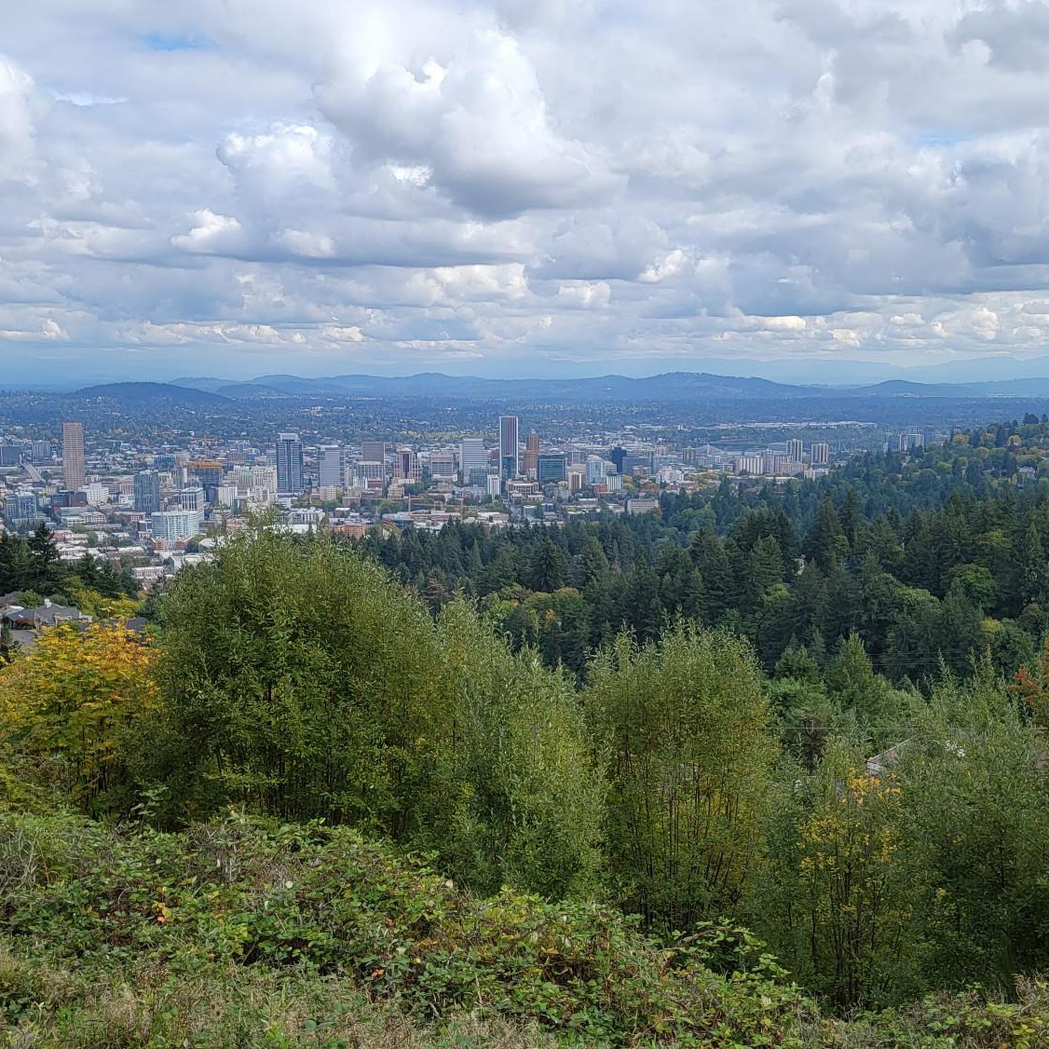
Council Crest Park spans 43 acres and is 1,073 feet above sea level, one of Portland's highest points. Visitors can enjoy city views and see five Cascade peaks: Mount Hood, Mount St. Helens, Mount Adams, Mount Jefferson, and Mount Rainier.
1
0

Salmon Street Springs is a popular spot for cyclists to gather. Thursday Night Ride starts there every Thursday at 7:30pm.
0
0

The Broadway Bridge was built in 1913. It was originally black, but was repainted red in 1963.
1
0

This trailhead marks a popular route for hikers in the area. It is .3 miles from the Wild Cherry Trail, .9 miles to the Dogwood Trail and 1.4 miles to the Alder Trail. If you head west, all of these connector trails reach the Wildwood Trail, which offers ample opportunities to create loop variations. It is important to note that parking is limited, especially on the weekends.
0
0
Built in 1910, the Hawthorne Bridge spans 3,552 feet across the Willamette River with four lanes and is a key part of the city's bike culture. The bridge gives passage to over 30,000 vehicles daily, including 800 TriMet buses, along with more than 8,000 cyclists. During rush hour, bikes can outnumber cars. The wide sidewalks offer great views of the river and skyline. As the oldest vertical-lift bridge in the U.S. and Portland's oldest highway bridge, it was added to the National Register of Historic Places in 2012.
0
0
Tilikum Crossing, Bridge of the People, is a cable-stayed bridge designed by TriMet for MAX Orange Line trains, buses, streetcars, cyclists, pedestrians, and emergency vehicles. Opened on September 12, 2015, it prohibits private cars and trucks, making it the first major U.S. bridge built for transit and non-motorized traffic only. Named after the Chinook word for "people," it was the first new bridge over the Willamette River in Portland since the Fremont Bridge in 1973. Construction began in 2011.
0
0

You can follow the Greenway for about two miles along the bank of the Willamette through downtown Portland. The trail takes you right along the water and is shared with hikers and dog walkers. The trail passes through a couple nice riverside parks and connects to plenty of other great cycling paths and roads.
0
0

The Eastbank Esplanade is the longest floating pedestrian and bike path in the United States, stretching 1,200 feet along the Willamette River. It offers great views of the river and the city of Portland.
0
0
Frequently Asked Questions
How many gravel bike trails are there in Tigard?
There are currently 7 gravel bike routes around Tigard listed in this guide, all rated as difficult. These routes offer diverse terrain through parks, greenways, and natural spaces, with options for significant distances and elevation.
Are there any easy or beginner-friendly gravel bike trails in Tigard?
While the routes highlighted in this guide are generally rated as difficult, Tigard's extensive network of parks and greenways, such as the Fanno Creek Trail and Dirksen Nature Park, offer softer surface trails that can be suitable for less technical gravel rides or beginners looking for shorter, flatter sections. These areas provide a good introduction to gravel biking without extreme elevation.
What are some options for longer gravel bike rides around Tigard?
For longer rides, consider routes like the Eastbank Esplanade – Tilikum Crossing loop from South Waterfront/South Moody, which spans 49.1 miles (78.9 km) and offers extensive river views. Another challenging option is the Leif Erikson Drive – Northwest Leif Erikson Drive loop from PSU South/Southwest 6th & College, covering 42.2 miles (67.9 km) with significant elevation through forested areas.
Are there any loop gravel bike trails in Tigard?
Yes, all the gravel bike routes featured in this guide are loop trails, allowing you to start and end at the same point. Examples include the Willamette River view – Springwater Corridor loop from Southeast Bybee Boulevard and the Leif Erikson Drive – Northwest Leif Erikson Drive loop from South Waterfront/South Moody.
What can I see along the gravel bike trails in and around Tigard?
Many routes offer scenic views of the Willamette River and pass through lush natural areas. You might encounter landmarks like the Sellwood Bridge or explore natural features such as Tryon Creek. The region also features parks like Cook Park with access to the Tualatin River, and Dirksen Nature Park with its wetlands and oak savanna.
Are there dog-friendly gravel trails near Tigard?
Many of Tigard's parks and greenways, including sections of the Fanno Creek Trail and Dirksen Nature Park, are generally dog-friendly, provided dogs are kept on a leash. It's always best to check specific park regulations before heading out, as rules can vary.
Where can I park for gravel biking near Fanno Creek Trail in Tigard?
The Fanno Creek Trail has numerous access points within Tigard, including downtown and near the Tigard Public Library, where parking is typically available. Cook Park, Tigard's largest park, also offers parking and access to trails that connect to the broader network.
Can I reach Tigard's gravel trails using public transport?
Tigard is part of the Portland metropolitan area's public transport network. While direct access to all trailheads via public transport might vary, many areas, especially those closer to urban centers or major parks, are accessible by bus or MAX light rail, allowing you to bring your bike. Check TriMet's website for specific route planning.
Are there places to eat or drink near the gravel trails in Tigard?
Tigard's downtown area and various neighborhoods offer a range of cafes, restaurants, and pubs. Routes that pass through or near urban sections, such as those connecting to Portland's waterfront, will have numerous options for refreshments and meals. It's a good idea to plan your route to include stops in these areas.
What do other gravel bikers enjoy the most about gravel biking in Tigard?
The gravel biking routes around Tigard are highly rated by the komoot community, with an average score of 5.0 stars. Reviewers often praise the diverse terrain, from lush greenways and wetlands to challenging forested roads, and the extensive network that connects various natural spaces and urban areas.
Are there any permits required for gravel biking in Oregon?
Generally, no specific permits are required for gravel biking on public trails and roads in Oregon. However, if you plan to ride in specific state parks, national forests, or private lands, it's always wise to check for any local regulations or access requirements that might apply.
Are there family-friendly gravel biking options in Tigard?
For families, the multi-use Fanno Creek Trail offers sections that are relatively flat and less technical, providing a pleasant environment for family rides. Dirksen Nature Park also features soft surface trails and boardwalks that are suitable for easier, scenic explorations with children.
Most popular routes around Tigard
Most popular attractions around Tigard

Get inspired with the komoot mobile app


Explore more
Browse the best Gravel rides in other regions.
