The best gravel rides around Basking Ridge
4.7
(27)
313
riders
28
rides
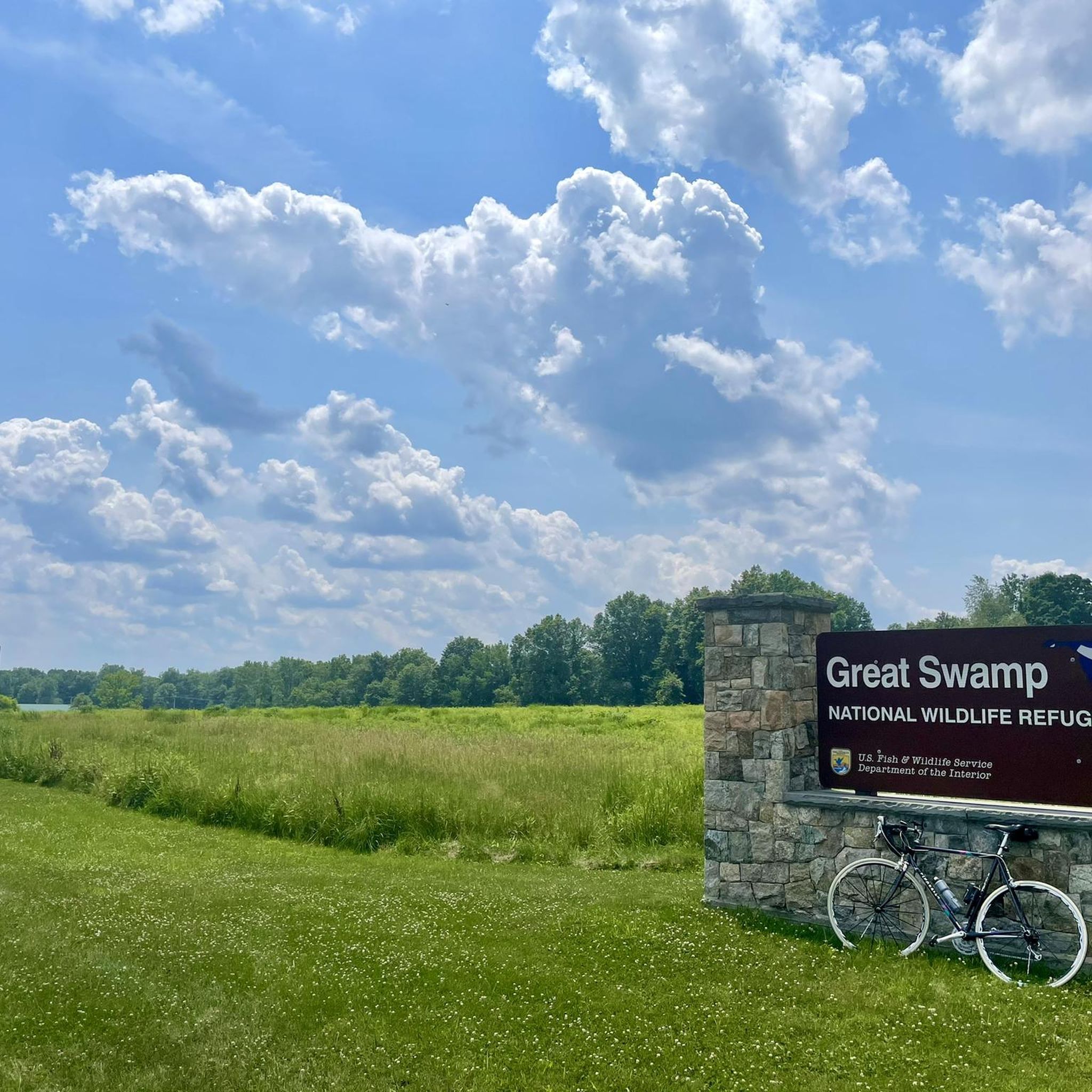
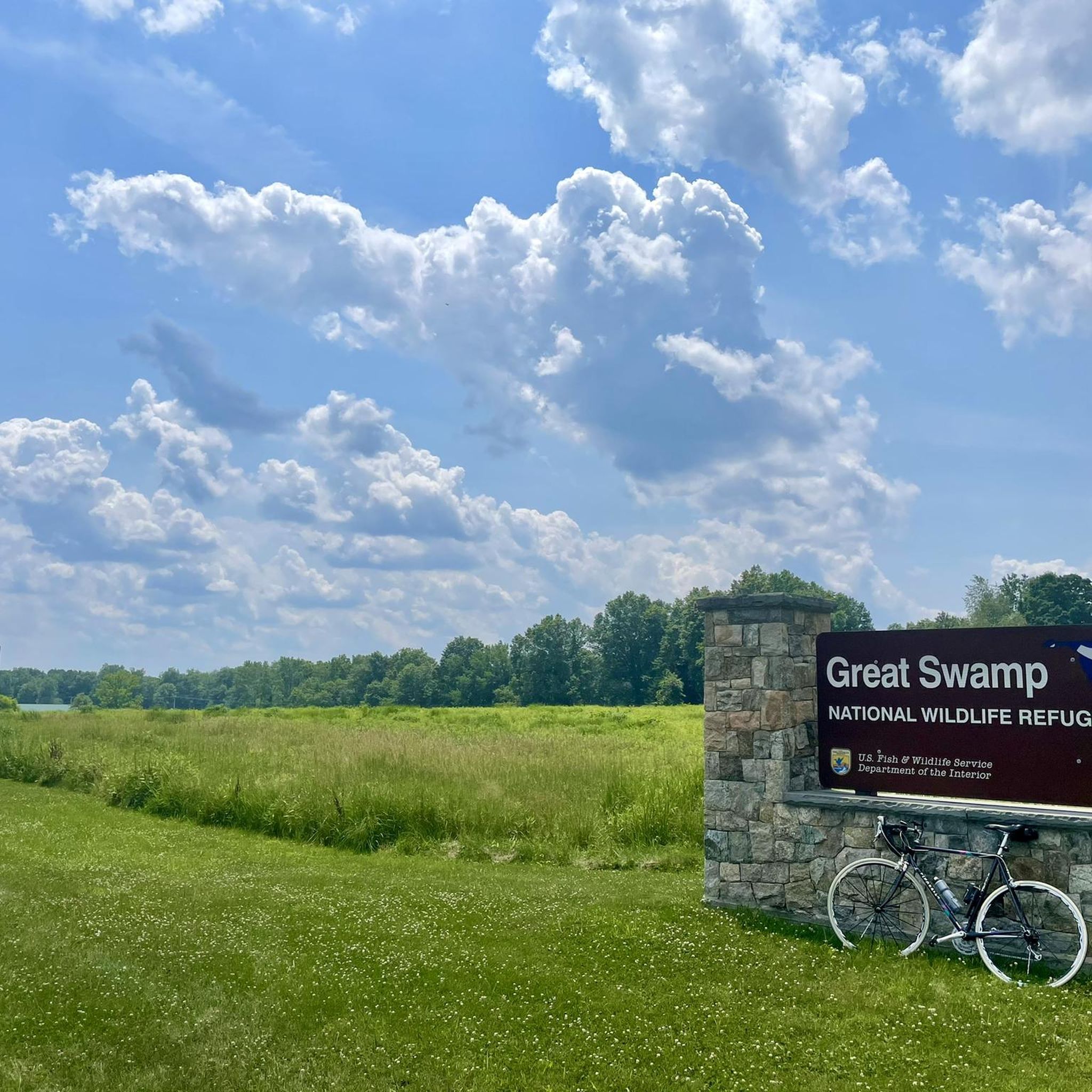
Gravel biking around Basking Ridge offers a diverse landscape characterized by extensive park systems, varied terrain, and quiet unpaved roads. The region features significant natural attractions like the Great Swamp National Wildlife Refuge, providing flat, accessible routes suitable for gravel cyclists. Riders can explore rolling hills, "Jersey back roads," and dedicated multi-use trails, ensuring a range of experiences from gentle rides to more challenging paths. This blend of natural beauty and varied surfaces makes Basking Ridge a notable destination for…
Last updated: October 15, 2026
5.0
(9)
91
riders
45.3km
02:57
350m
350m
Moderate gravel ride. Good fitness required. Mostly paved surfaces. Suitable for all skill levels.
5.0
(8)
29
riders
26.8km
01:46
160m
160m
Moderate gravel ride. Good fitness required. Mostly paved surfaces. Suitable for all skill levels.

5.0
(2)
40
riders
92.0km
05:33
960m
960m
Hard gravel ride. Very good fitness required. Mostly paved surfaces. Suitable for all skill levels.
5.0
(1)
16
riders
25.3km
01:44
170m
170m
Moderate gravel ride. Good fitness required. Mostly paved surfaces. Suitable for all skill levels.
13
riders
127km
08:20
1,420m
1,420m
Hard gravel ride. Very good fitness required. Mostly paved surfaces. Suitable for all skill levels.
Get access to more routes and recommendations from other explorers.
Already have an account?
Our route recommendations are based on thousands of hikes, rides, and runs completed by other people on komoot.
Start today with a free account
Your next adventure awaits.

Tips from the Community

The old train station was built in the late 1800s for the Central Railroad of New Jersey. Today, it serves as a hub for the Califon Historical Society and access point for the Columbia Rail Trail. Supposedly, the name Califon comes from a shortening of "California", since the painter creating the station map didn't leave enough room for the original title.
0
0

Only a few parking spots, but a beautiful area in all directions.
0
0

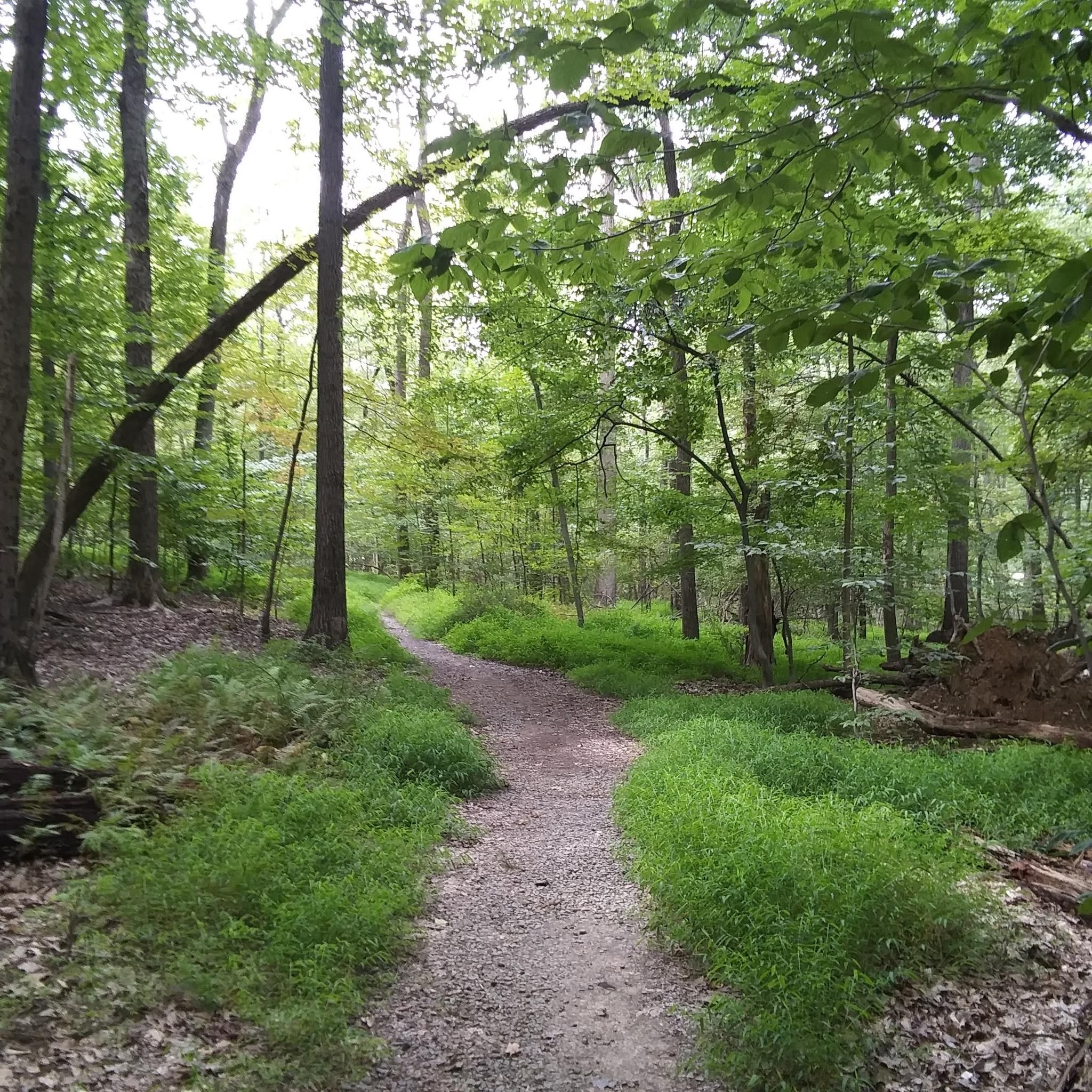
The Columbia Trail is a gorgeous Greenway along the South Branch Raritan River from this trail head to High Bridge, almost 15.5 miles to the south. Absolutely incredible views all the way through, autumn could be the best time to enjoy the trail. This parking at the northern trailhead isn't very big, but a couple of cars can fit in it.
0
0

Despite the physical absence of the Rockaway Valley Railroad, its legacy lives on in the Washington Valley Trail and the memories it evokes. While the railroad ties and structures may have vanished, the spirit of the journey remains. The quiet beauty of the trail, reclaimed by nature, offers a unique opportunity for reflection and appreciation.
0
0

This area encompasses around 768 acres of land, rich in history, with Revolutionary period artifacts and buildings dating back to the early 1900s. For a change of pace during your ride, there are over 12 miles of hiking trails to explore in this area.
0
0
This 978-acre area was once an iron ore mine site in the 1800s. It has now become a very popular park, thanks to the miles of trails and the Black River running through it.
1
0
Despite the physical absence of the Rockaway Valley Railroad, its legacy lives on in the Washington Valley Trail and the memories it evokes. While the railroad ties and structures may have vanished, the spirit of the journey remains. The quiet beauty of the trail, reclaimed by nature, offers a unique opportunity for reflection and appreciation.
0
0

Lewis Morris County Park spans over 2,000 acres in size and features about 22 miles of trails. It is a popular spot for many activities such as biking, fishing, camping, cross-country skiing, hiking, picnicking, and more. The park is known for its fall foliage and serves as an ideal location for wedding ceremonies too. With easy accessibility and amenities catering to both kids and adults, Lewis Morris County Park is a great spot to get outdoors.
0
0
Frequently Asked Questions
How many gravel bike trails are available around Basking Ridge?
There are over 18 gravel bike trails around Basking Ridge, offering a diverse range of experiences for cyclists. These routes are highly rated by the komoot community, with an average score of 4.7 stars.
What is the general difficulty level of gravel biking in Basking Ridge?
The gravel biking routes in Basking Ridge cater to various skill levels. You'll find a good mix of challenges, with 7 moderate routes and 11 difficult routes available. This ensures both experienced riders and those looking for a substantial ride can find suitable options.
Are there any circular gravel routes in the Basking Ridge area?
Yes, many of the gravel routes around Basking Ridge are designed as loops, allowing you to start and end at the same point. For example, the Bridge over North Branch River – Horse country loop from Pluckemin is a popular circular route that takes you through scenic horse country.
What kind of terrain can I expect on the gravel bike trails in Basking Ridge?
Basking Ridge offers varied terrain, from flat, accessible stretches within areas like the Great Swamp National Wildlife Refuge to rolling hills and 'Jersey back roads.' You'll encounter a mix of unpaved surfaces, multi-use trails, and quiet roads, providing a diverse gravel biking experience.
When is the best time of year for gravel biking in Basking Ridge?
The region offers picturesque rides throughout the year. Spring and summer bring lush greenery, while fall is particularly vibrant with colorful foliage, making for stunning rides. Even in winter, some trails may be accessible, though conditions can vary, and waterproof footwear is recommended after rain.
Are there options for advanced gravel cyclists looking for a challenge?
Absolutely. For advanced gravel cyclists, routes like the Horse country – Bridge over North Branch River loop from Far Hills offer a more challenging experience, covering 34.6 miles (55.7 km) with significant elevation changes. Another demanding option is the Califon Train Station – Ken Lockwood Gorge loop from Peapack, which is over 80 km long.
Are there any scenic viewpoints or natural features along the gravel trails?
Yes, the Basking Ridge area is rich in natural beauty. Many routes pass through or near significant natural features. You can explore the vast Great Swamp National Wildlife Refuge, known for its wildlife and flat trails, or enjoy views of the Washington Valley Reservoir from trails in Washington Valley Park West. Osborn Pond also offers scenic views for birding and fishing.
Can I combine my gravel ride with exploring nearby attractions?
Definitely. The region is home to several attractions that can complement your ride. Beyond the natural parks, you might consider visiting Loantaka Brook Reservation Trails or the Traction Line Recreation Trail for additional exploration. The area's parks offer a range of activities from hiking to wildlife observation.
Is parking readily available near the gravel trails in Basking Ridge?
Yes, many parks and trailheads in the Basking Ridge area, such as Lord Stirling Park and Pleasant Valley Park, offer designated parking areas. It's advisable to check specific trail access points for detailed parking information before your ride.
Are the gravel bike trails in Basking Ridge family-friendly?
Yes, Basking Ridge offers family-friendly options, particularly the flatter sections within the Great Swamp National Wildlife Refuge. These trails provide an accessible entry point for gravel cyclists of all levels, including families looking for a gentle ride. Lord Stirling Park also features mostly flat trails with boardwalks, suitable for a relaxed outing.
What do other gravel bikers enjoy most about the trails in Basking Ridge?
The area is highly rated by the komoot community, with an average score of 4.7 stars from over 16 reviews. Reviewers often praise the diverse landscapes, the quiet unpaved roads, and the extensive park systems that offer a peaceful connection with nature. The variety of terrain, from flat paths to rolling hills, is also frequently highlighted.
How long are the gravel bike trails in Basking Ridge?
The length of gravel bike trails in Basking Ridge varies significantly. You can find shorter loops, such as the Bridge over North Branch River – Horse country loop from Pluckemin at 16.7 miles (26.9 km), perfect for a couple of hours. For longer adventures, routes like the Bridge over North Branch River – Califon Train Station loop from Far Hills extend to over 93 km.
Most popular attractions around Basking Ridge

Get inspired with the komoot mobile app


Explore more
Browse the best Gravel rides in other regions.
