The best gravel rides around Altadena
4.3
(4)
137
riders
25
rides
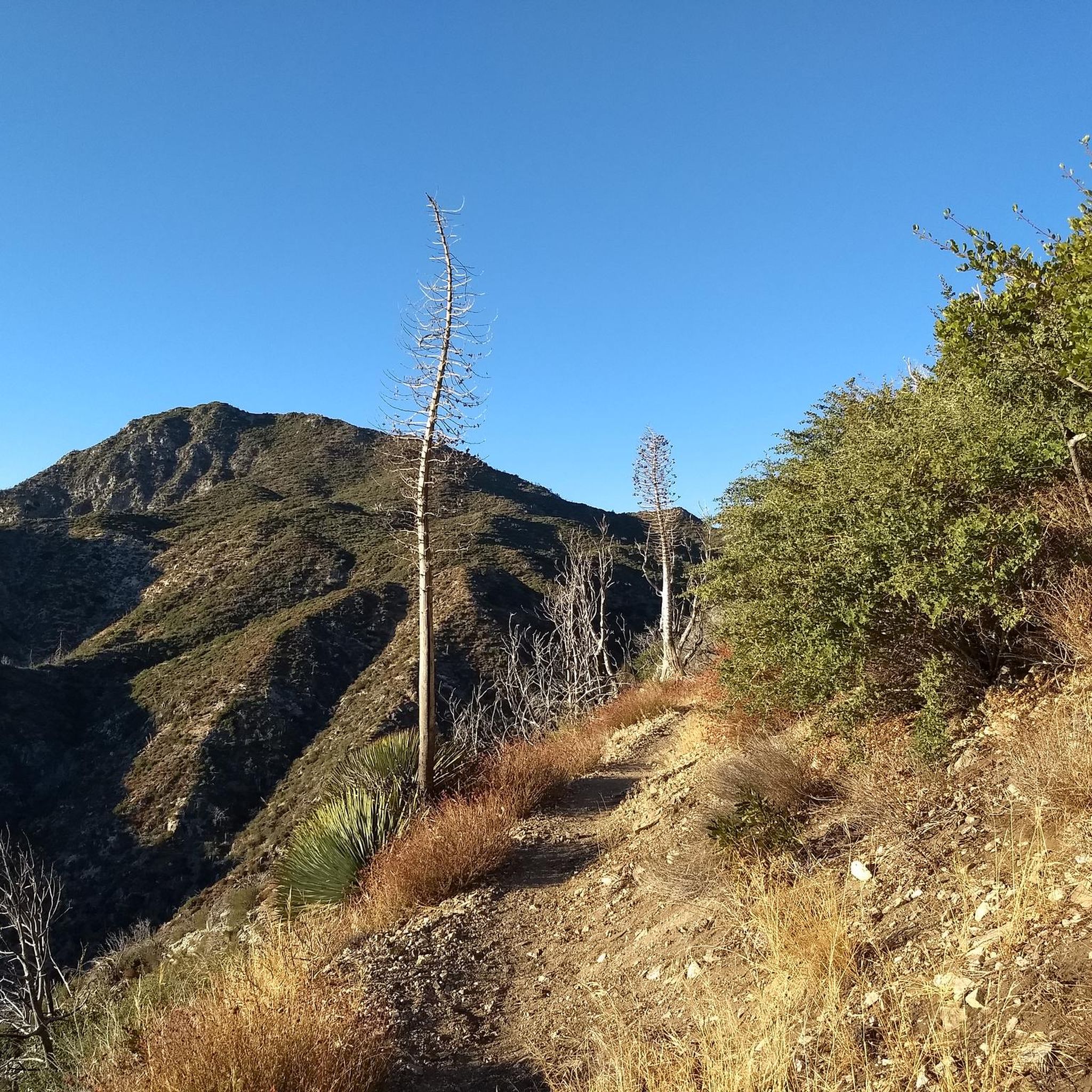
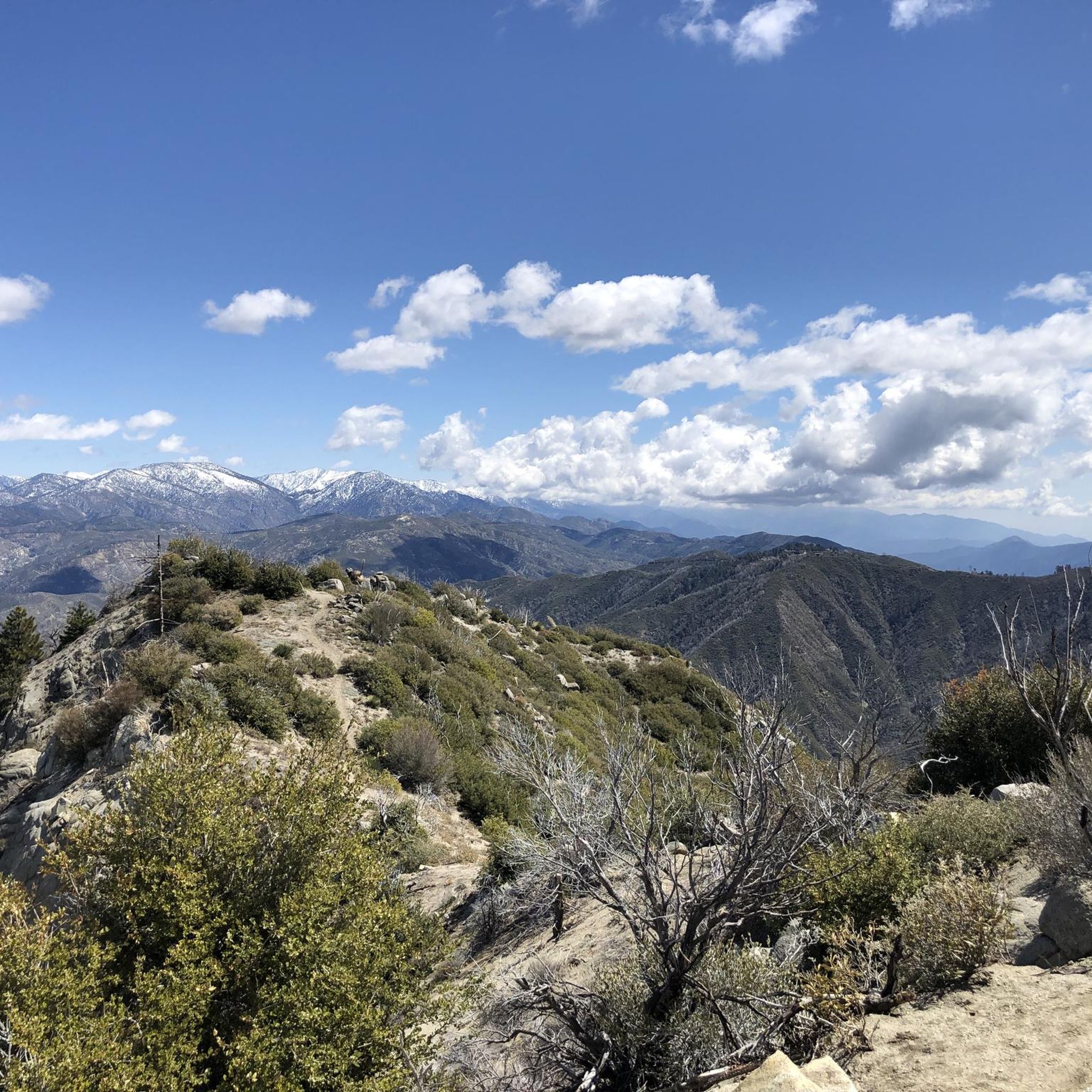
Gravel biking around Altadena offers diverse landscapes at the base of the San Gabriel Mountains, featuring varied terrain from rolling hills to deep canyons. The region is characterized by extensive trail networks, including fire roads and mixed-surface paths. Riders can navigate through oak woodlands and drier landscapes, providing a range of natural features for off-road cycling. This area provides a challenging environment for gravel biking with significant elevation changes.
Best gravel bike trails around Altadena
- The most popular gravel bike…
Last updated: October 15, 2026
2
riders
44.5km
05:02
1,660m
1,660m
Hard gravel ride. Very good fitness required. Mostly paved surfaces. Suitable for all skill levels.
5.0
(1)
17
riders
46.7km
04:38
1,710m
1,710m
Hard gravel ride. Very good fitness required. Mostly paved surfaces. Suitable for all skill levels.

11
riders
24.4km
02:34
1,070m
1,070m
Hard gravel ride. Very good fitness required. Mostly paved surfaces. Suitable for all skill levels.
12
riders
26.6km
02:20
710m
710m
Hard gravel ride. Very good fitness required. Mostly paved surfaces. Suitable for all skill levels.
9
riders
19.6km
01:58
530m
530m
Hard gravel ride. Very good fitness required. Mostly paved surfaces. Suitable for all skill levels.
Get access to more routes and recommendations from other explorers.
Already have an account?
Our route recommendations are based on thousands of hikes, rides, and runs completed by other people on komoot.
Start today with a free account
Your next adventure awaits.

Other adventures around Altadena

Tips from the Community

Short tunnel on the eastern slope below San Gabriel Peak, part of the old Mt Lowe Motorway, that was never paved. The tunnel is very short, so you don't have to worry about bringing light. The road continues to the trailhead half a mile uphill.
0
0

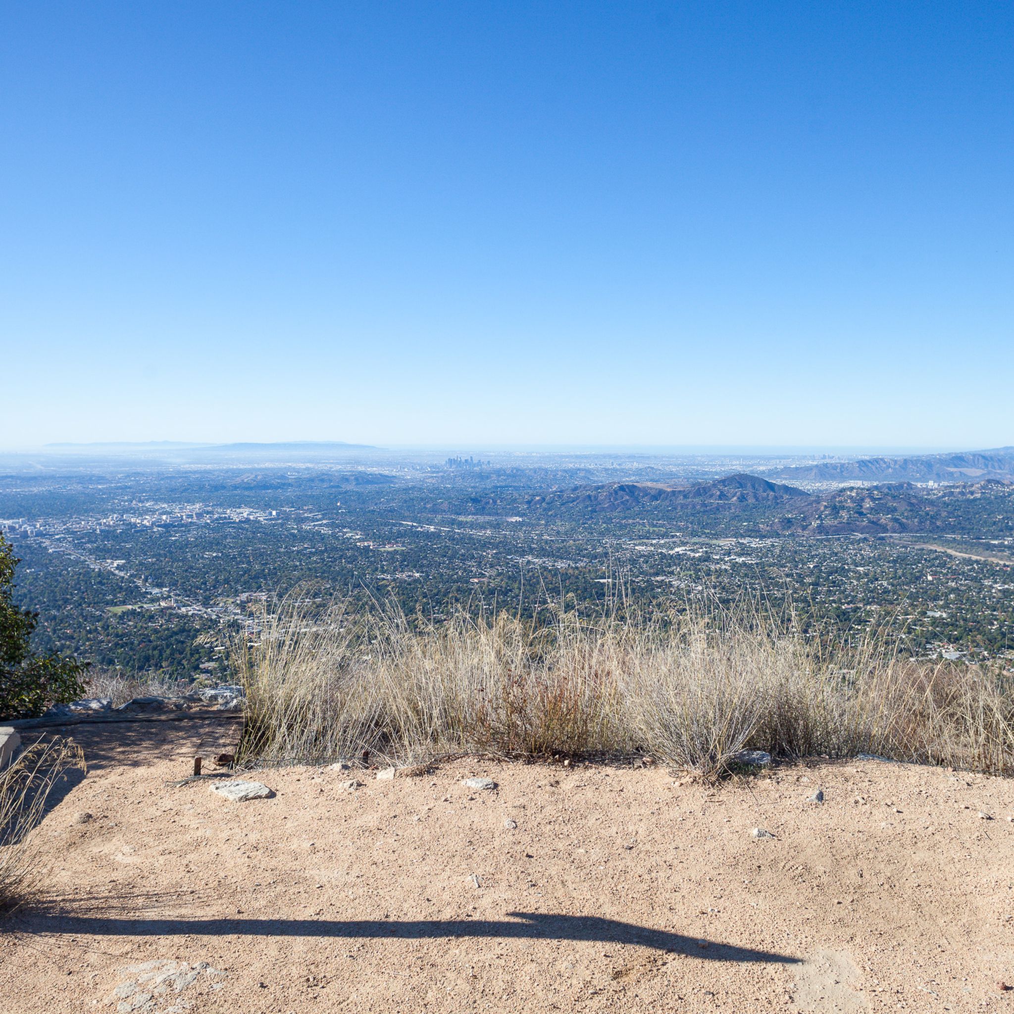
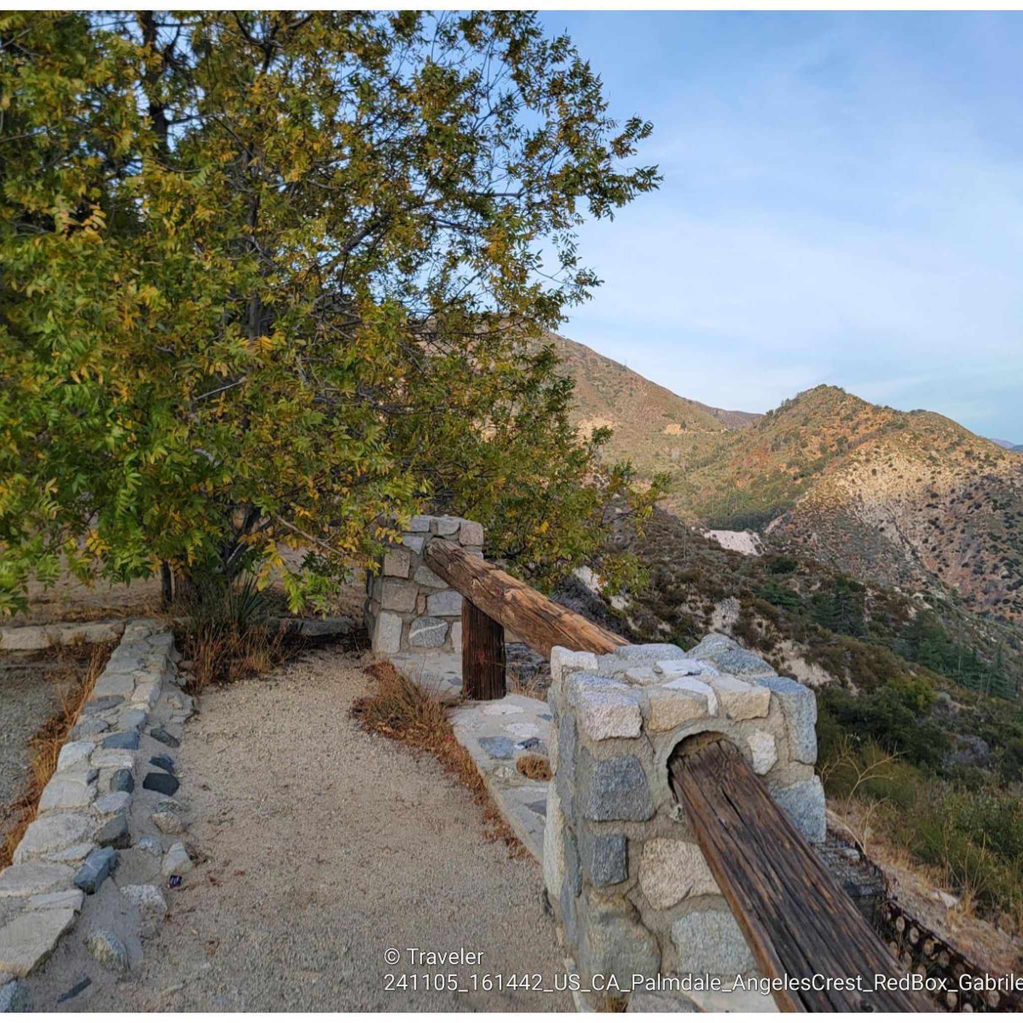
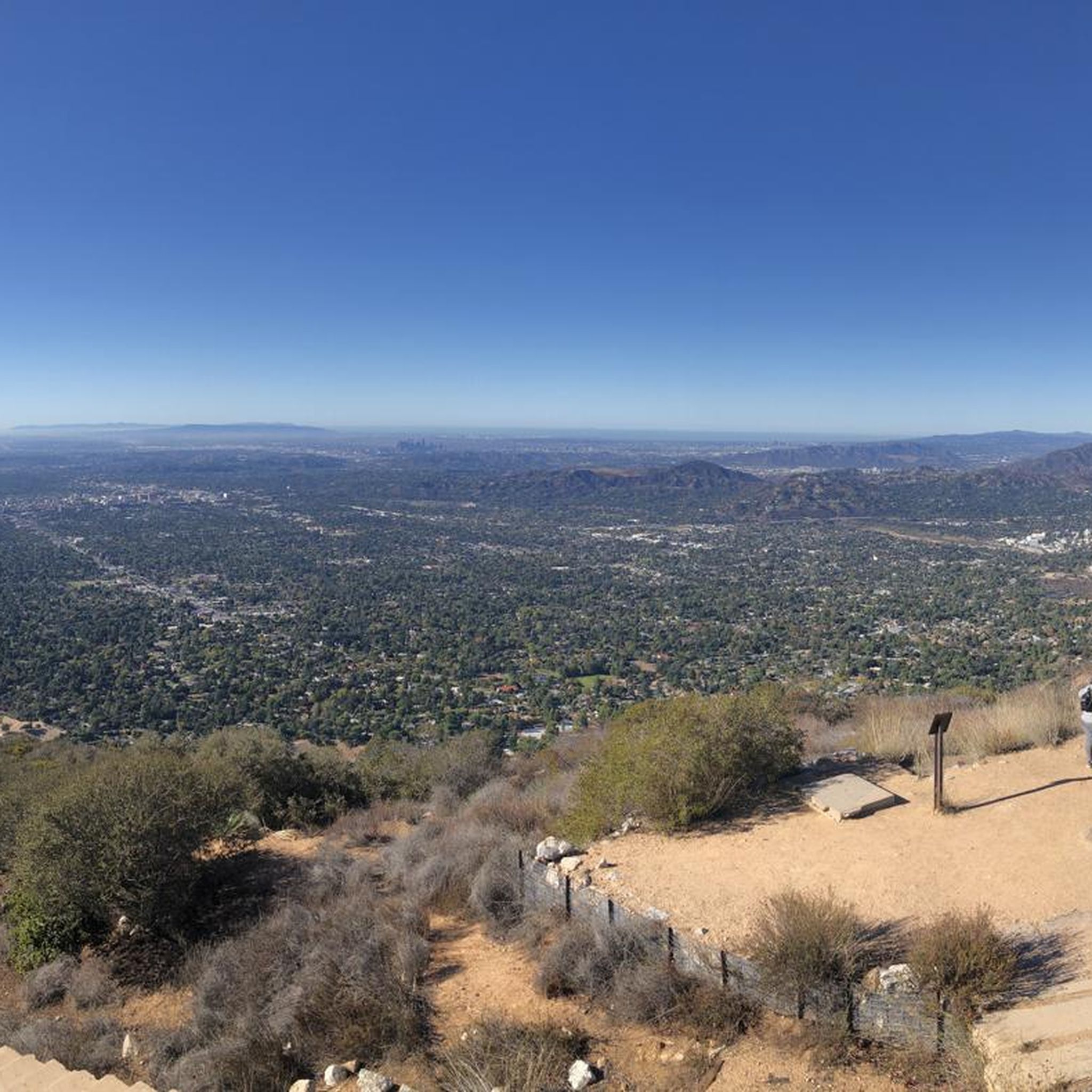
Just below the Mt Wilson Trailhead on Red Box Road, this overlook and memorial is a perfect place to pause. Sit and take in sweeping views of the San Gabriel Valley, and read the memorial plaque honoring early conservation efforts.
0
0
Henninger Flats sits along the road with views of Altadena. You’ll pass by it while climbing the Mt. Wilson Toll Road and can take a moment to catch your breath while enjoying the views. The route features a steady climb with minimal shade, so it’s best to start early, especially in summer. At the top, enjoy panoramic views of the San Gabriel Valley and explore the area, which includes a visitor center, picnic spots, and a tree nursery.
0
0
For a ride with history and views, check out the Ye Alpine Tavern ruins in the San Gabriel Mountains. Once a popular mountain resort, it burned down in 1936 and was later demolished, but you can still spot the stone fireplace, foundation, and water tank.
0
0
Andrea Wilson Triangle is a small protected area along Chaney Trail in Altadena. Though not a developed trail, it’s part of a larger effort to preserve open space and wildlife habitat in the foothills near Angeles National Forest.
0
0

Cherry Canyon Park is an area of 130 acres in the San Rafael Hills, close to La Cañada Flintridge. It features multiple trails and fire roads for horses, mountain bikers and hikers, but also various single tracks that are only for hiking. From the trails, you will get a great overview over the area.
0
0

This tunnel was blasted into existence in 1942 to form the old Mount Lowe Motorway.
0
0

Great viewpoint from the top of Ridge Motorway. Once you complete the climb to the top, reward yourself with a short break to take in the great vistas. You will be able to see Burbank and La Tuna Canyon Park.
0
0
Frequently Asked Questions
How many gravel bike trails are available in Altadena?
Altadena offers a comprehensive network of over 20 gravel bike trails. While many are challenging, there are options for various skill levels, primarily featuring difficult routes through mountainous terrain.
Are there any easy or beginner-friendly gravel bike trails in Altadena?
While Altadena is known for its challenging terrain, with 17 of the 21 listed routes being difficult, there are 4 moderate routes available. For beginners, it's advisable to start with these moderate options or explore sections of fire roads that are less steep, as the region is characterized by significant elevation changes.
What kind of terrain can I expect on Altadena's gravel bike routes?
Gravel biking in Altadena offers a diverse range of terrain, including extensive fire roads, rolling hills, and deep canyons. You'll encounter mixed-surface paths with dirt, sand, cobble, and even some singletrack sections, particularly along routes like the Arroyo Seco up Gabrielino National Recreation Trail to Brown Mountain Dam. The landscape transitions from drier areas to rich oak woodlands.
Are there any scenic loop routes for gravel biking in Altadena?
Yes, Altadena features several scenic loop routes. A popular option is the Strawberry Peak and Colby Canyon Loop, which offers challenging climbs and panoramic views within the Angeles National Forest. Another notable loop is the Mueller Tunnel – Mueller Tunnel loop from Altadena, leading through mountainous landscapes.
What are some of the longest gravel bike routes around Altadena?
For those seeking longer rides, the Mount Lukens and Josephine Peak Loop is a substantial 27.6-mile (44.5 km) trail, taking approximately 5 hours to complete with significant climbs. Another long option is the Mueller Tunnel – Mueller Tunnel loop from Altadena, which covers 26.1 miles (42.0 km).
Are there any waterfalls or natural attractions along the gravel bike trails?
Yes, the Altadena area is rich in natural attractions. You can find several waterfalls, such as the Eaton Canyon Waterfall and Upper Switzer Falls. The region also offers stunning viewpoints like View from Mount Lukens and Inspiration Point, providing panoramic vistas of the Los Angeles Basin.
What do other gravel bikers enjoy most about riding in Altadena?
The gravel biking routes in Altadena are highly rated by the komoot community, with an average score of 4.0 stars from over 4 reviews. Riders often praise the challenging climbs, diverse terrain, and the stunning panoramic views of the Los Angeles Basin and San Gabriel Mountains. The extensive network of fire roads and varied off-road experiences are also frequently highlighted.
Is public transport available to access gravel bike trails in Altadena?
While Altadena is primarily accessed by car, some local bus routes serve the area. However, direct public transport access to specific trailheads in the foothills can be limited. It's recommended to check local transit schedules and plan for a short ride or walk from the nearest bus stops to reach your desired starting point.
Are there specific parking areas for gravel bikers near the trailheads?
Parking is generally available at various points around Altadena, particularly near popular parks and trail access points. For example, areas around Hahamongna Watershed Park and Farnsworth Park offer parking, which can serve as starting points for rides into the foothills. Always check local signage for any parking restrictions or fees.
Are permits required for cycling in the Angeles National Forest around Altadena?
Generally, permits are not required for day-use cycling on established trails and fire roads within the Angeles National Forest. However, it's always a good idea to check the official Angeles National Forest website for the most current regulations, especially concerning specific areas or any temporary closures. Some wilderness areas may have restrictions.
Can I find family-friendly gravel biking options in Altadena?
While many of Altadena's gravel routes are rated as difficult, some sections of fire roads or paths within parks like Hahamongna Watershed Park might be suitable for families with older children or those comfortable with moderate terrain. For truly easy, flat options, you might need to explore areas slightly outside the immediate mountainous foothills.
Are there any historical landmarks to explore along the gravel bike routes?
Yes, the Altadena area is rich in history. You can explore the remnants of the historic Echo Mountain House and the Sam Merrill Trail, which is part of the larger Mount Lowe Railway route. The Mount Lowe Railway Ruins are a notable historical site that can be incorporated into longer rides, offering a glimpse into the area's past.
Most popular routes around Altadena
Most popular attractions around Altadena

Get inspired with the komoot mobile app


Explore more
Browse the best Gravel rides in other regions.
