The best gravel rides around Stukely-Sud
4.4
(17)
201
riders
20
rides
Gravel biking around Stukely-Sud offers a network of routes traversing the region's varied landscape. The area features rolling terrain with notable elevation changes, often incorporating segments near rivers and ponds. Many trails lead through forested areas and connect to natural parks, providing diverse riding conditions. The routes range from moderate to difficult, catering to different experience levels.
Best gravel bike trails around Stukely-Sud
- The most popular gravel bike trail is Yamaska River Bridge – Yamaska National Park loop from Waterloo…
Last updated: September 23, 2026
4.5
(8)
22
riders
38.7km
01:59
180m
180m
Moderate gravel ride. Good fitness required. Mostly paved surfaces. Suitable for all skill levels.
5.0
(3)
18
riders
34.4km
02:34
340m
340m
Moderate gravel ride. Good fitness required. Mostly paved surfaces. Suitable for all skill levels.

1.0
(1)
17
riders
45.1km
03:08
590m
590m
Hard gravel ride. Very good fitness required. Mostly paved surfaces. Suitable for all skill levels.
5.0
(1)
17
riders
62.0km
05:13
790m
790m
Hard gravel ride. Very good fitness required. Mostly paved surfaces. Suitable for all skill levels.
15
riders
Hard gravel ride. Very good fitness required. Mostly paved surfaces. Suitable for all skill levels.
Get access to more routes and recommendations from other explorers.
Already have an account?
Our route recommendations are based on thousands of hikes, rides, and runs completed by other people on komoot.
Start today with a free account
Your next adventure awaits.
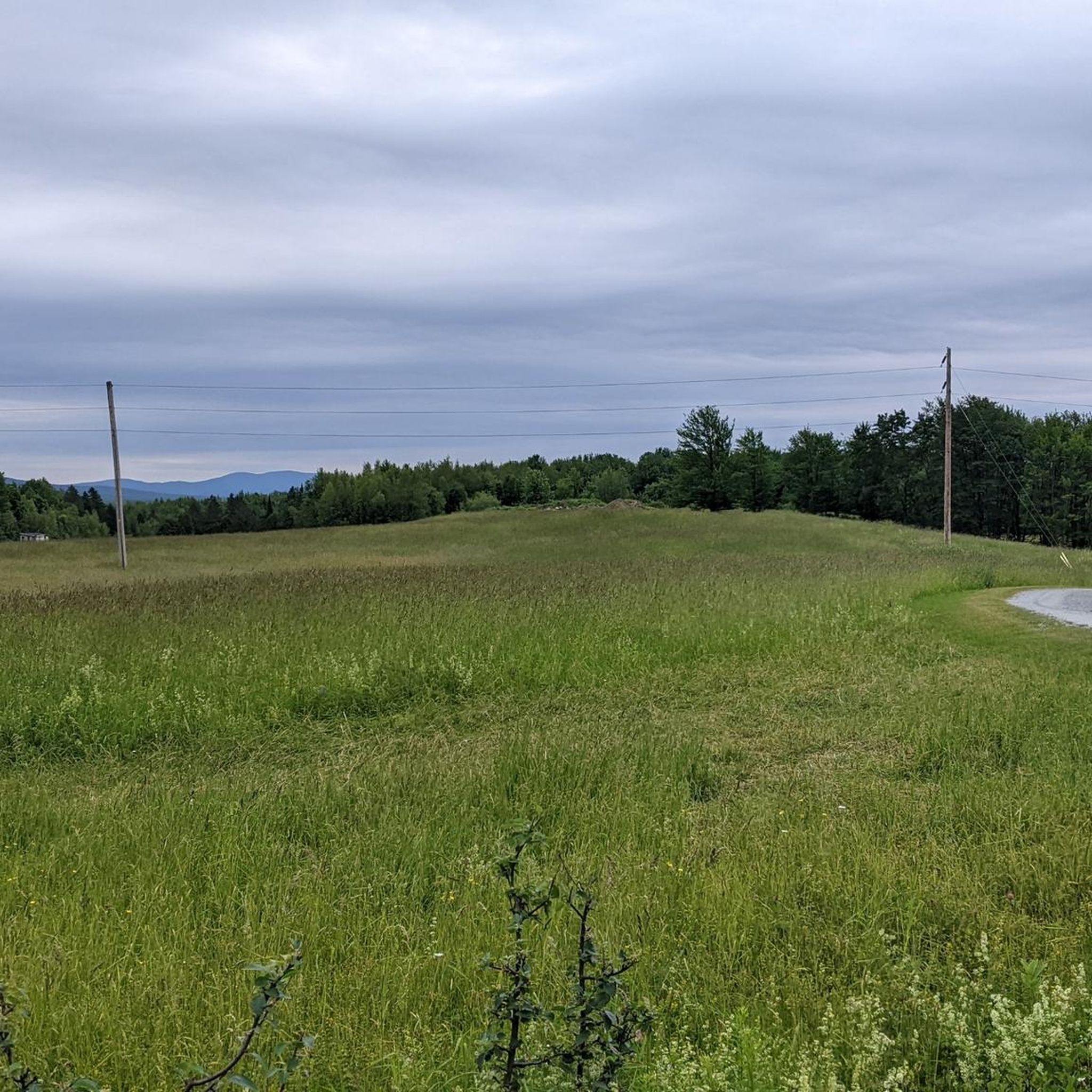
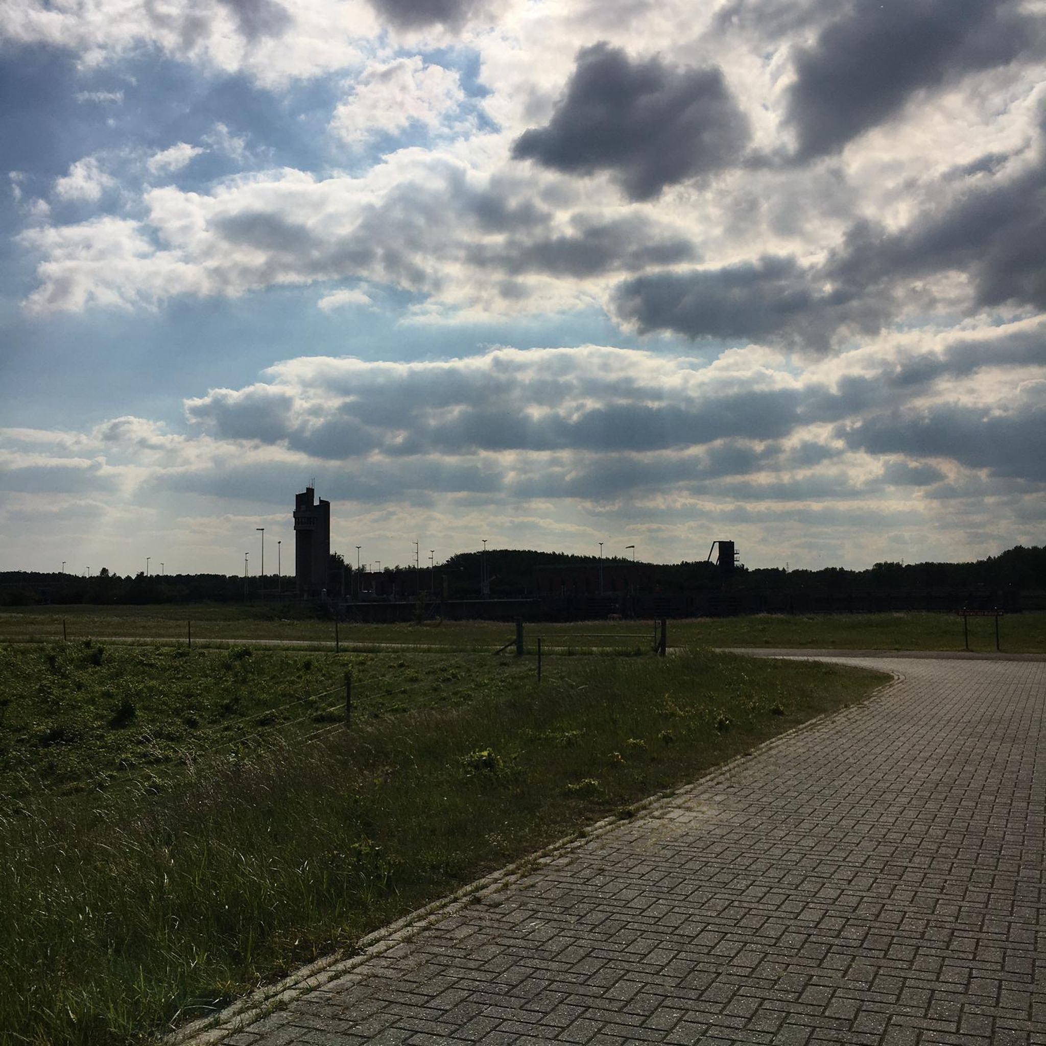
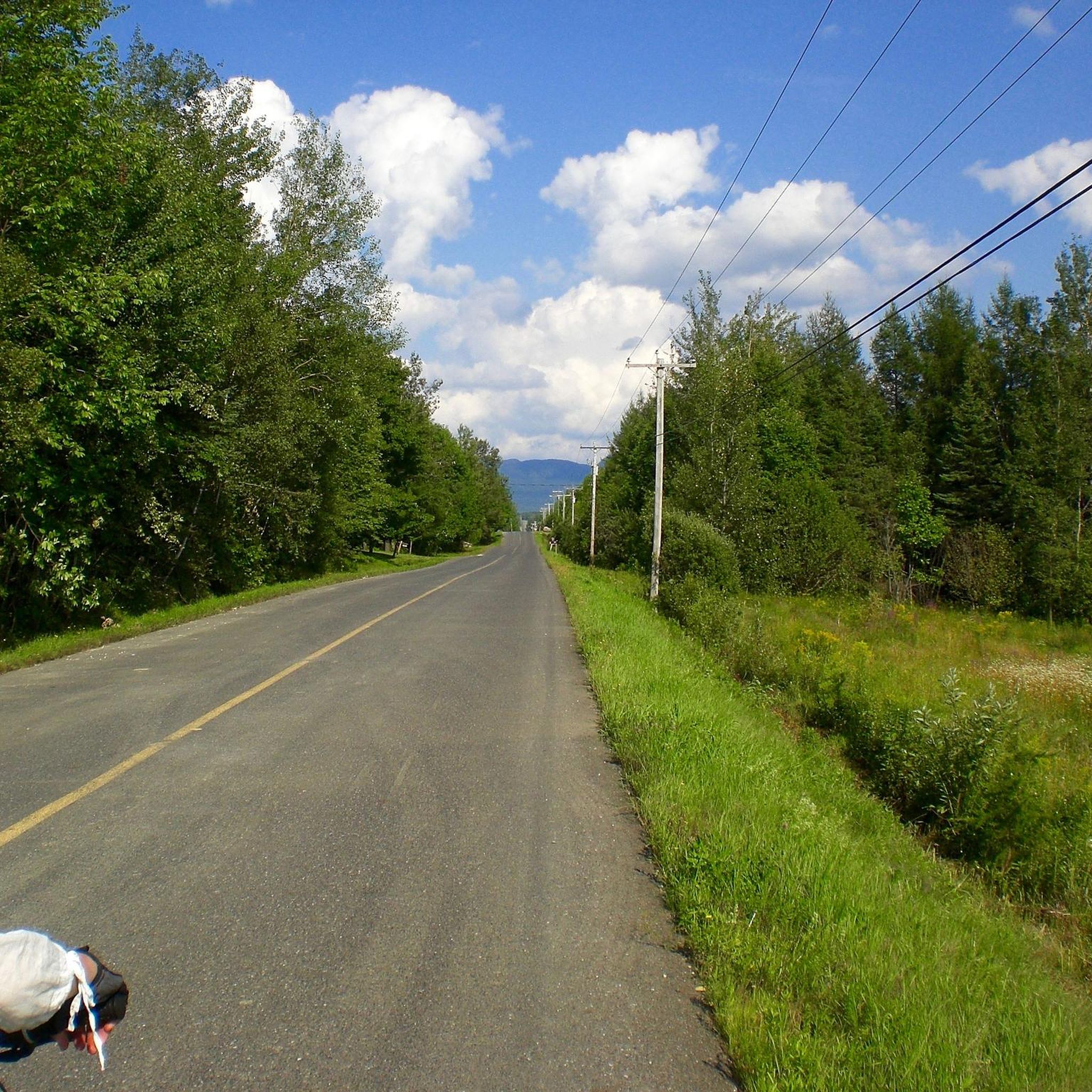
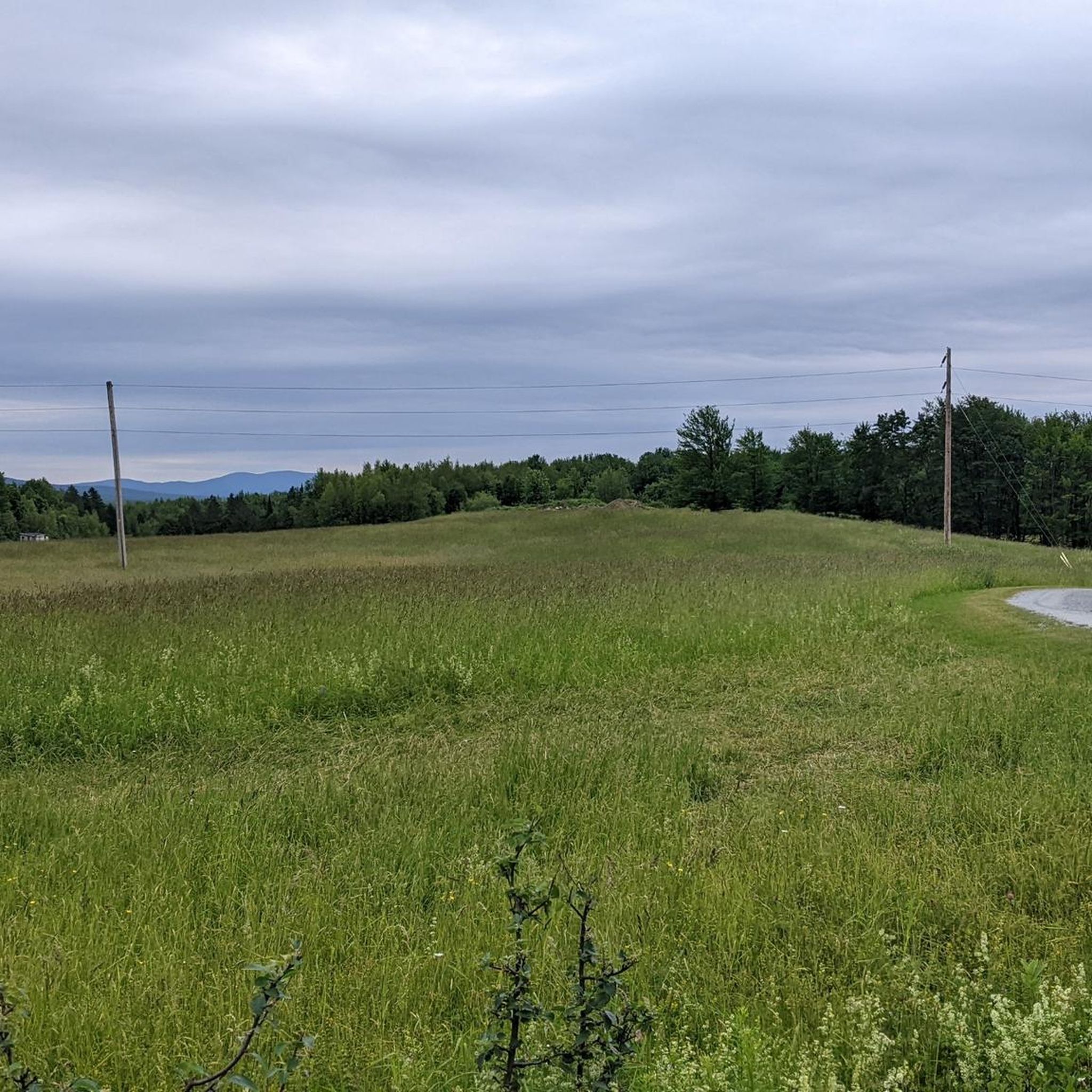
Tips from the Community

Réservoir Choinière is a large 4.7-square-kilometre artificial lake that was built in 1977 by the construction of a dam and dike to regulate the flow of the North Yamaska River. Today, the reservoir today forms the vibrant centre of Parc national de la Yamaska, and is a great place for a scenic day on the water with kayaks, canoes, pedal boats, rowboats, and stand-up paddleboards all available for rent. On the shores, sunbathers, runners, walkers, bikers and tourists enjoy the sparkling water's edge.
0
0

Magnificent bridges... Pedestrians first...
0
0

You can follow this well-maintained crushed gravel trail along the north shore of the campground with views to the water and good trail access.
0
0

Splendid place!
0
0

Very nice outing to recommend 😊
0
0
Nice space, friendly staff, great food and coffee/matcha
0
0

Magnificent circuit along a watercourse
0
0
Frequently Asked Questions
How many gravel bike trails are available around Stukely-Sud?
There are over 20 gravel bike routes in the Stukely-Sud area, offering a variety of experiences for different skill levels. The region is known for its rolling terrain, often incorporating segments near rivers and ponds, and leading through forested areas.
Are there any family-friendly gravel bike trails in Stukely-Sud?
While many routes in Stukely-Sud feature notable elevation changes and are rated moderate to difficult, some sections might be suitable for families with older children or those comfortable with varied terrain. For a moderate option, consider the Gravel Road Near Bromont – Café Caron & Frères loop from Foster, which covers rural gravel roads.
What are the best options for advanced gravel bikers in Stukely-Sud?
Advanced riders will find plenty of challenging routes in Stukely-Sud. The area features significant elevation gains and varied landscapes. A particularly demanding option is the Thirsty Boot loop from Stationnement VR, which is rated difficult and covers 28 miles (45.1 km) with substantial climbing.
Are there any loop gravel bike trails in the Stukely-Sud area?
Yes, many of the gravel bike routes around Stukely-Sud are designed as loops. For example, the popular Yamaska River Bridge – Yamaska National Park loop from Waterloo offers a 24.6-mile (39.5 km) circular ride connecting a river bridge with a national park.
Where can I find parking access for gravel biking in Stukely-Sud?
Many routes start from accessible points that offer parking. For instance, the challenging Thirsty Boot loop begins from Stationnement VR, and the Café Caron & Frères – À l'Abordage Microbrewery loop starts from Stationnement Argyll, indicating designated parking areas.
What is the best season for gravel biking in Stukely-Sud?
The Stukely-Sud region is generally best explored for gravel biking from spring through autumn. During these seasons, the forested trails and rural gravel roads offer pleasant conditions. Winter biking is possible but requires appropriate gear and awareness of snow and ice conditions, as some trails may not be maintained.
Are there any scenic viewpoints or attractions along the gravel bike trails?
Yes, the routes often pass through picturesque areas. You can find points of interest like the Yamaska River Bridge, which is part of a popular loop. Other highlights include sections like Chemin de la Diligence and the scenic Stevens Bridge Road in Waterloo.
What do other gravel bikers enjoy most about the trails in Stukely-Sud?
The gravel biking routes in Stukely-Sud are highly rated by the komoot community, with an average score of 4.1 stars. Riders frequently praise the diverse terrain, from rolling hills to forested sections and river crossings, and the network's ability to cater to various ability levels.
Are there any cafes or facilities near the gravel trails in Stukely-Sud?
Yes, some routes are designed to pass by local amenities. For instance, the Gravel Road Near Bromont – Café Caron & Frères loop from Foster suggests proximity to a cafe. Additionally, a General Store is listed as a facility in the area, which might be convenient for resupply.
What is the typical duration for gravel bike rides in Stukely-Sud?
Ride durations vary significantly based on the route's length and difficulty. Moderate routes, such as the Yamaska River Bridge – Yamaska National Park loop, typically take around 2 hours. More challenging and longer routes, like the Étang Grass – Étang Sugar Loaf Pond loop, can extend to over 5 hours.
Are there any less crowded gravel trails in Stukely-Sud?
While specific crowd levels can vary, exploring some of the longer or more difficult routes, such as the Étang Grass – Étang Sugar Loaf Pond loop from SE S13 (été), might offer a more secluded experience due to their demanding nature and extended duration. These routes often venture deeper into varied landscapes.
Most popular routes around Stukely-Sud
Most popular attractions around Stukely-Sud

Get inspired with the komoot mobile app


Explore more
Browse the best Gravel rides in other regions.
