The best gravel rides around Sainte-Marguerite-De-Carrouges
3.0
(2)
8
riders
5
rides
Gravel biking around Sainte-Marguerite-De-Carrouges features a hilly bocage landscape characterized by woodlands, pastures, and hedgerows. The terrain includes rolling hills with elevations typically ranging between 200 and 291 meters, supported by an underlying granitic subsoil. This region, part of the Normandie-Maine Regional Natural Park, offers a network of both paved and unpaved surfaces, including greenways, suitable for gravel cycling. The area is drained by the Udon River and various streams, creating small valleys and providing diverse routes for exploration.
Best…
Last updated: August 12, 2026
2.0
(1)
2
riders
32.6km
02:10
420m
420m
Moderate gravel ride. Good fitness required. Mostly paved surfaces. Suitable for all skill levels.
1
riders
34.1km
02:24
350m
350m
Moderate gravel ride. Good fitness required. Mostly paved surfaces. Suitable for all skill levels.
4.0
(1)
2
riders
50.7km
03:04
410m
410m
Moderate gravel ride. Good fitness required. Mostly paved surfaces. Suitable for all skill levels.
Get access to more routes and recommendations from other explorers.
Sign up for free
Already have an account?
Our route recommendations are based on thousands of hikes, rides, and runs completed by other people on komoot.
Start today with a free account
Your next adventure awaits.
Login or Signup
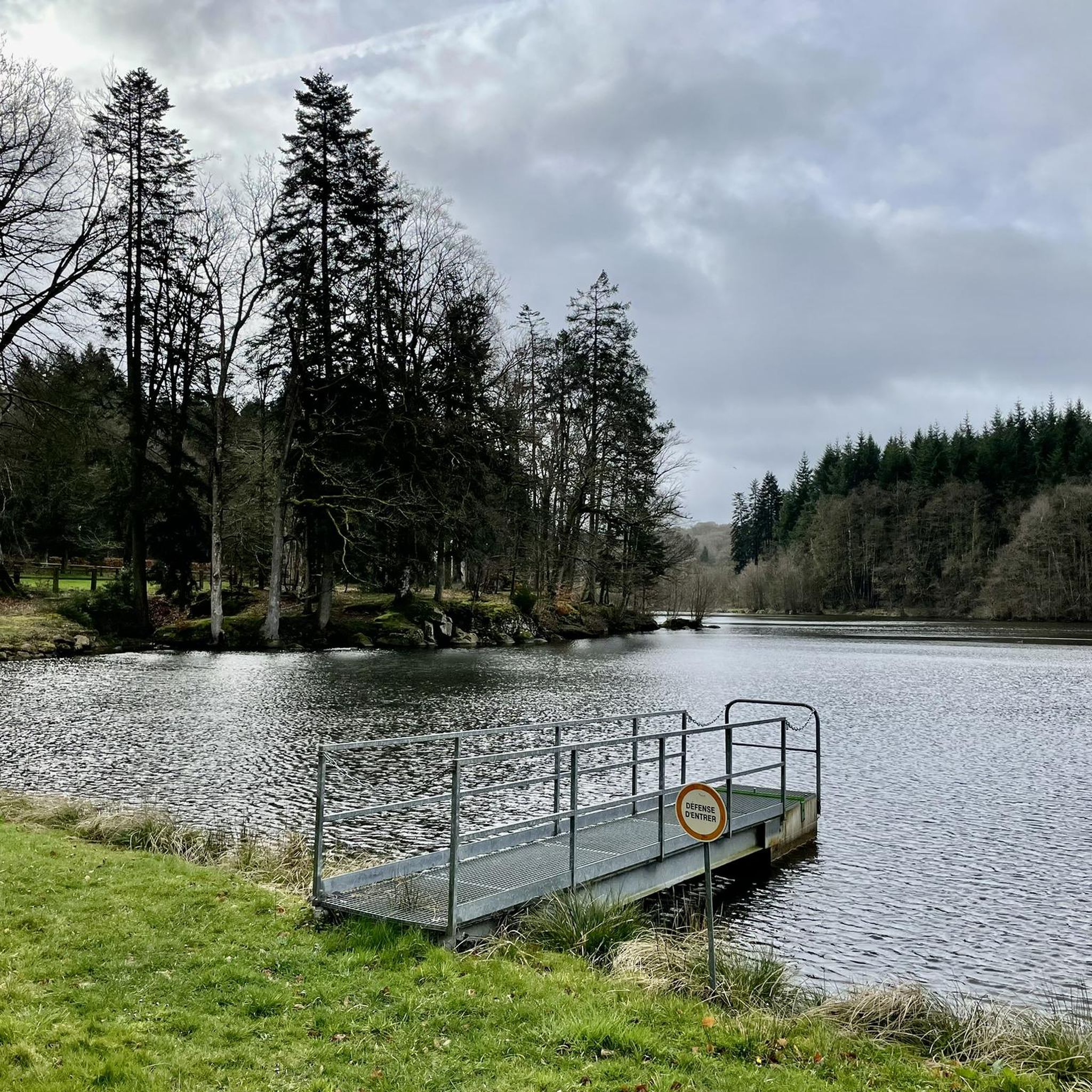
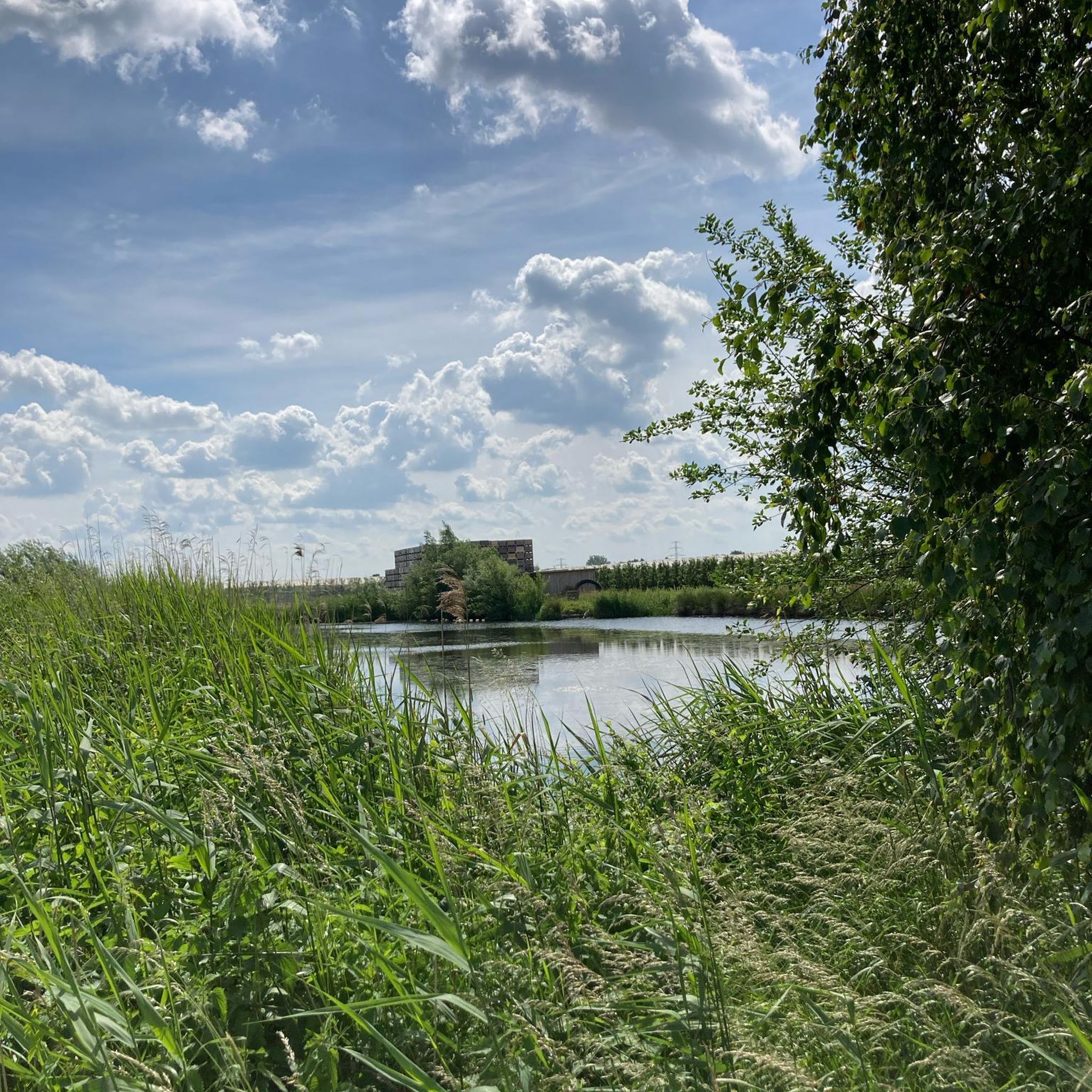
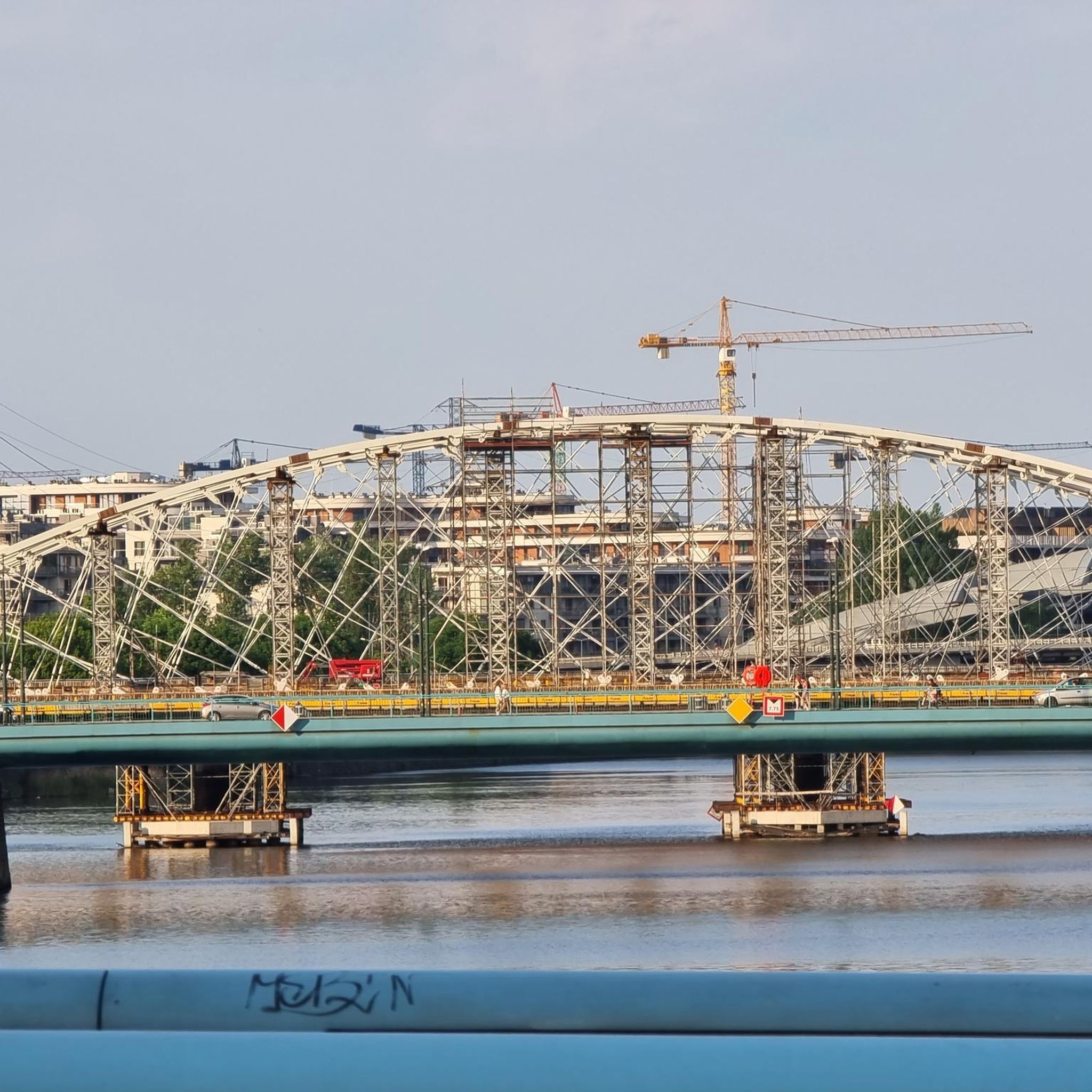
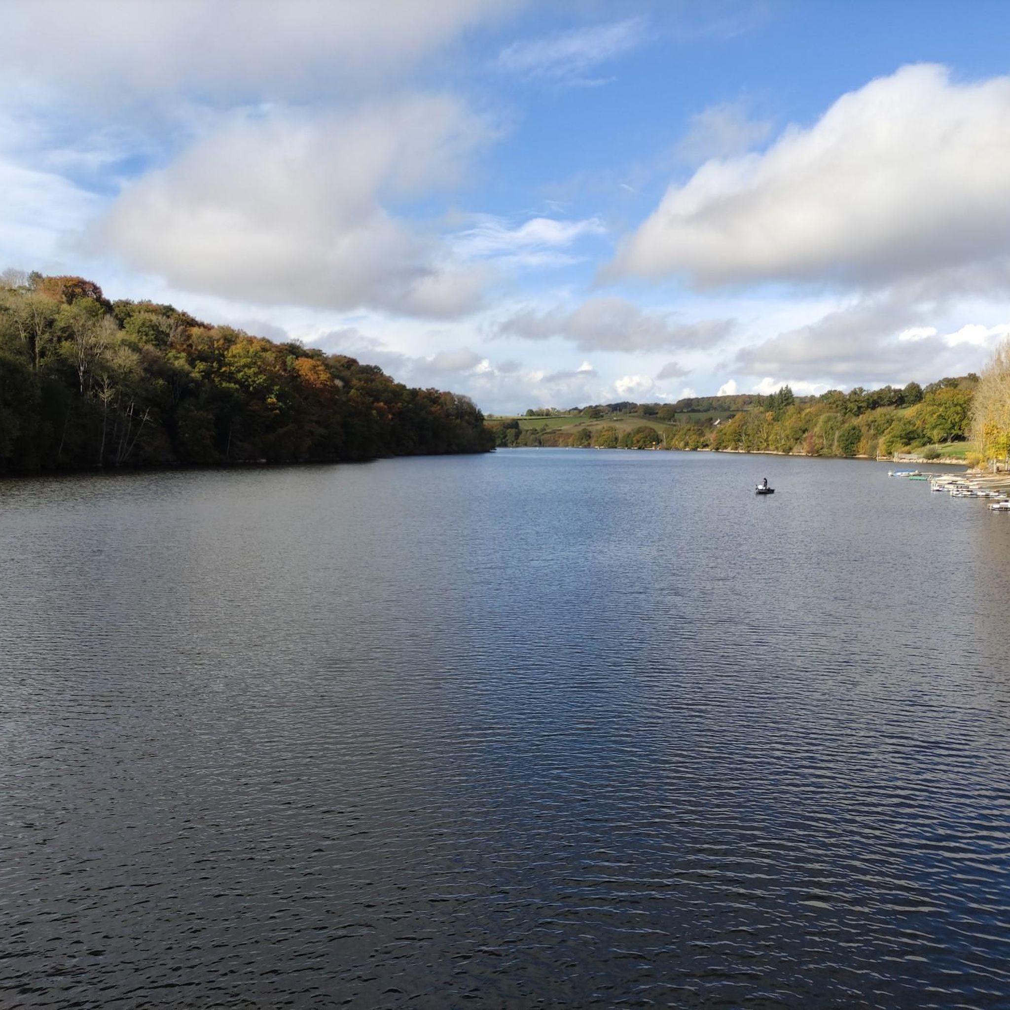

Tips from the Community

All info here: https://lachevrebleue.fr/
0
0

Well maintained and pleasant to walk around
0
0
Marsh Birdwatching
0
0

a small, isolated hamlet but worth the detour
0
0

From here you have a beautiful view of the Marais du Grand-Hazé, the largest marshy area in the Orne. It is labeled Sensitive Natural Space and can be visited on foot via a 7 km signposted loop.
0
0

It's true Gravel assistance TOP
1
0

Patches, inner tube, Gravel advice, many itineraries to offer. 😄
1
0
pharma Gravel !
1
0
Frequently Asked Questions
What is the general terrain like for gravel biking around Sainte-Marguerite-De-Carrouges?
The terrain is characterized by a hilly and 'bocage' landscape, featuring a charming mosaic of woodlands, pastures, and hedgerows. You'll encounter rolling hills with elevations typically ranging between 200 and 291 meters, providing varied gradients perfect for gravel biking. The region is also drained by the Udon River and several streams, creating small valleys that add to the scenic diversity.
Are there gravel bike routes suitable for different skill levels?
Yes, the area offers a network of routes suitable for various skill levels. While most routes are rated as moderate, there are also more challenging options for experienced riders. For example, the Manoir de Joué-du-Bois – Notre-Dame-de-Lourdes chapel loop from Rânes is a difficult route covering over 61 km.
How long are the gravel bike routes typically in this area?
The gravel bike routes around Sainte-Marguerite-De-Carrouges vary in length. You can find routes ranging from approximately 32 km, like the Goult Priory Chapel – The church of Tanville loop from Francheville, up to over 61 km for more challenging rides such as the Manoir de Joué-du-Bois – Notre-Dame-de-Lourdes chapel loop from Rânes.
What natural features can I expect to see while gravel biking here?
You'll be cycling through a rich natural landscape, including extensive woodlands like the nearby Forêt d'Écouves and the larger Forêt domaniale des Andaines. The region is part of a Natura 2000 conservation area, and you'll encounter the Udon River, various streams, and numerous artificial ponds, all contributing to a picturesque setting.
Are there historical landmarks or points of interest along the gravel bike trails?
Absolutely. The region is rich in history. You can explore sites like the impressive Carrouges Castle, a historic landmark, or the Rânes Castle. The 12th-century Sainte-Marguerite-de-Carrouges Church is also a classified Monument Historique. Additionally, the Maison du Parc et du Géoparc offers insights into the natural park's biodiversity.
Are there circular gravel bike routes available?
Yes, many of the gravel bike routes in the Sainte-Marguerite-De-Carrouges area are designed as loops, allowing you to start and finish at the same point. Examples include the Briouze-Bagnoles Greenway – Rânes Castle loop from Rânes and the Manoir de Joué-du-Bois – Joué-du-Bois Manor loop from Joué-du-Bois.
What is the best time of year to go gravel biking in Sainte-Marguerite-De-Carrouges?
The Normandie-Maine Regional Natural Park is generally pleasant for cycling from spring through autumn. Spring offers lush greenery, while autumn provides beautiful foliage. Summer is also suitable, but it's always advisable to check local weather forecasts, especially for potential heat or rain, as trail conditions can vary.
Is it possible to reach the trails using public transport?
While the region is primarily rural, some larger towns nearby may have limited public transport connections. However, for direct access to many of the gravel trails, especially those starting from smaller villages, a car is often the most convenient option. It's recommended to check local bus or train schedules for specific starting points if you plan to use public transport.
Where can I find parking for gravel biking trails?
Parking is generally available in the villages and towns where many of the routes begin, such as Rânes or Francheville. Look for designated parking areas near churches, town centers, or trailheads. Always ensure you park responsibly and respect local regulations.
Are there family-friendly gravel trails in the area?
The region offers a mix of routes, and while many are moderate, some sections of greenways ('voies vertes') are particularly well-suited for families due to their flatter, car-free nature. These provide a safer and more relaxed environment for younger riders or those seeking an easier pace.
What do other gravel bikers enjoy the most about gravel biking in Sainte-Marguerite-De-Carrouges?
The area is highly rated by the komoot community, with an average score of 3.0 stars. Reviewers often praise the varied terrain, the quiet and scenic gravel roads, and the opportunity to explore the charming 'bocage' landscape away from traffic. The mix of woodlands, pastures, and hedgerows, along with historical points of interest, makes for a rewarding experience.
Most popular routes around Sainte-Marguerite-De-Carrouges
Most popular attractions around Sainte-Marguerite-De-Carrouges

Get inspired with the komoot mobile app


Explore more
Browse the best Gravel rides in other regions.
