The best gravel rides around Taulis
4.5
(4)
41
riders
5
rides
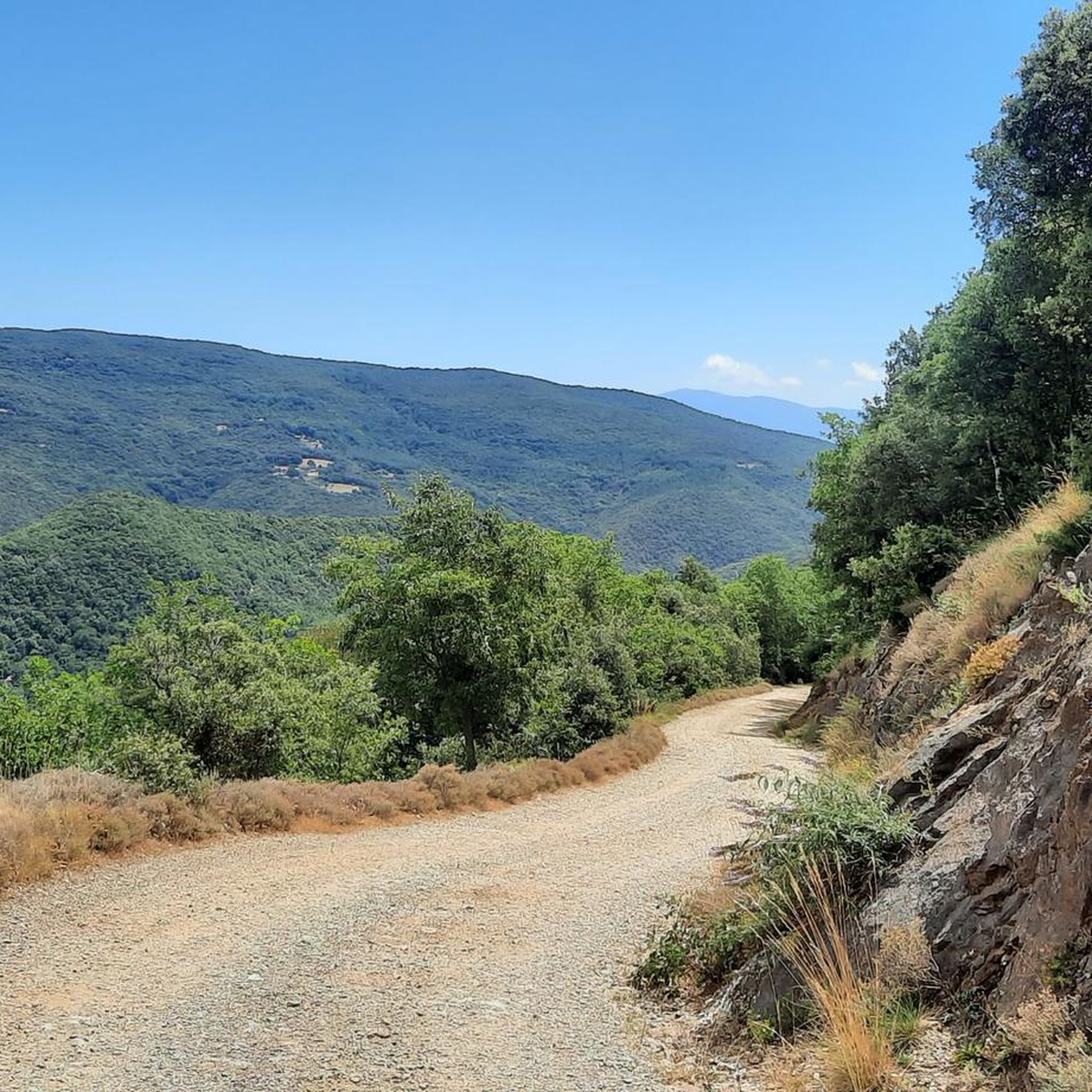
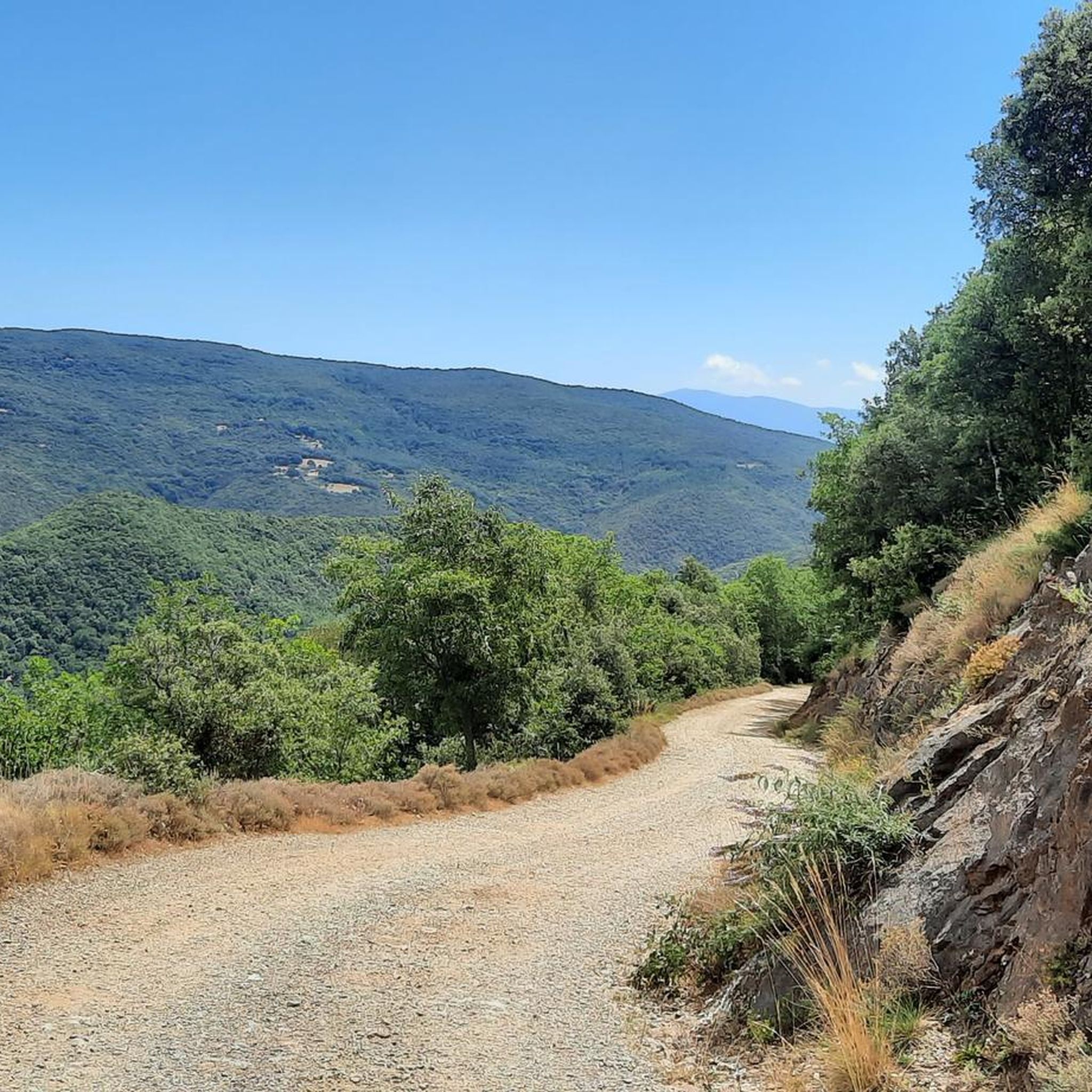
Gravel biking around Taulis offers a diverse natural setting within the Pyrénées-Orientales department of southern France. The region features an intricate network of unpaved roads, farm tracks, and fire roads that traverse forests, peaks, and quiet valleys. Riders can expect varied terrain with elevations ranging from 340 to 1,360 meters, providing a mix of challenging climbs and scenic descents. This area is characterized by its changing landscapes, from mountain and forest tracks to rural scenery, making it suitable for gravel…
Last updated: July 2, 2026
5
riders
20.8km
02:02
700m
700m
Hard gravel ride. Very good fitness required. Mostly paved surfaces. Suitable for all skill levels.
4.5
(2)
4
riders
33.5km
02:44
780m
780m
Hard gravel ride. Very good fitness required. Mostly paved surfaces. Suitable for all skill levels.

Sign up for free
4.0
(1)
10
riders
47.8km
03:39
970m
970m
Hard gravel ride. Very good fitness required. Mostly paved surfaces. Suitable for all skill levels.
5
riders
18.6km
01:29
500m
500m
Hard gravel ride. Very good fitness required. Mostly paved surfaces. Suitable for all skill levels.
3
riders
55.5km
04:06
1,540m
1,540m
Hard gravel ride. Very good fitness required. Mostly paved surfaces. Suitable for all skill levels.
Our route recommendations are based on thousands of hikes, rides, and runs completed by other people on komoot.
Start today with a free account
Your next adventure awaits.
Login or Signup
Tips from the Community


A relic of a bygone industrial era, iron ore arrived by cable-operated skip from the high-altitude railway linking the pinnace to the Formentera station.
0
0

dynamic lighting in Catalan colors at night.
0
0

The linguistic proximity of the "Pont Eiffel", which spans the valley here, and the low mountain range "Eifel" in the far west of Germany is no coincidence: The family of the designer - whose world-famous Tower of Paris (named after its builder) is probably known to everyone - has German roots. The ancestors of the Eiffel Tower builder Gustave EIFFEL come from the Eifel town of Marmagen (in the Euskirchen district, North Rhine-Westphalia). The village square there - if you are interested, see the following hiking highlight https://www.komoot.com/de-de/highlight/1830307 - is named after him.
0
0

Old railway line along the Tech with a magnificent panorama of the Pyrenees.
1
1


The panel shows a graphic representation of the landscape seen from that point. It includes important geographical references, such as mountains, towns, rivers or coastal areas, allowing visitors to identify the locations they are seeing in the distance.
0
0
During the descent, you will be able to enjoy spectacular views of the Serra de l'Albera and the valleys surrounding Boule-d'Amont. As you approach the village, the landscape opens up and you can see the typical stone houses of the place, surrounded by fields and hills. The views of the valley and the mountains covered with Mediterranean vegetation make the route visually impressive.
1
0
Frequently Asked Questions
How many gravel bike trails are there around Taulis?
There are over 10 dedicated gravel bike trails around Taulis, offering a variety of experiences for cyclists. These routes are highly rated by the komoot community, with an average score of 4.6 stars.
What kind of terrain can I expect on gravel bike trails near Taulis?
The terrain around Taulis is diverse and rugged, featuring an intricate network of unpaved roads, farm tracks, and fire roads. You'll cycle through forests, over mountain passes, and into quiet valleys. Elevations range from 340 to 1,360 meters, ensuring a mix of challenging climbs and scenic descents through changing landscapes.
Are there any circular gravel bike routes in the Taulis area?
Yes, many routes in the Taulis area are designed as loops. For example, the Pirinexus le Tech – Palalda loop from Amélie-les-Bains-Palalda is a popular 21 km circular trail. Another option is the Arles sur Tech – Pirinexus le Tech loop from Arles-sur-Tech, which covers about 18.5 km.
What historical landmarks or points of interest can I see along the gravel trails?
Gravel biking around Taulis offers access to significant historical and cultural sites. You might encounter Romanesque architecture, such as the parish church of Saint-Jean L'Évangéliste in Taulis itself. Routes can also lead you past the Reynès Iron Bridge, a notable landmark, or even the ruins of the 10th-century Château de Croanques. The wider Vallespir region also features signal towers, like the 13th-century Tour de Mir.
Are there any challenging gravel routes for experienced riders?
Absolutely. Many of the gravel routes around Taulis are graded as difficult, offering significant challenges for experienced riders. For instance, the Fourtou Pass (655 m) – Fourtou Pass, 656 m loop from Baillestavy is a demanding 33.5 km route with substantial elevation gain, perfect for those seeking a rigorous ride.
What is the best time of year for gravel biking in Taulis?
The diverse ecosystems of the Vallespir region mean varied flora and fauna throughout the seasons. Generally, spring and autumn offer pleasant temperatures and beautiful scenery, making them ideal for gravel biking. Summer can be warm, but higher elevation routes provide cooler air. Winter rides are possible, but conditions can be more challenging, especially on mountain tracks.
Are there any family-friendly gravel biking options near Taulis?
While many routes in the immediate Taulis area present a significant challenge, the wider Vallespir region, which includes parts of the Pirinexus circular cycling route, incorporates car-free gravel roads and bike paths that might be more suitable for families. These sections often lead through picturesque countryside and charming remote villages.
Where can I find accommodation or places to stop for refreshments near the trails?
The region features charming remote villages where you might find local amenities. Additionally, there are several mountain huts and shelters in the vicinity that could serve as rest stops or overnight accommodation. These include the Batère Mountain Hut and the Pinatell Shelter.
What natural features or viewpoints can I expect to see on the gravel routes?
The routes frequently offer breathtaking views of the surrounding mountains, including panoramic vistas of the iconic Canigou massif. You'll also find quiet valleys, serene water features, and opportunities to spot wildlife like deer. Some trails might follow riverbeds or offer glimpses of small waterfalls, immersing you in unspoiled natural beauty.
Is it possible to access the gravel trails using public transport?
While Taulis itself is a charming commune, public transport options directly to trailheads might be limited. However, the wider Vallespir region is part of the 'Pirinexus' circular cycling route, which connects various towns. Checking local bus services or regional trains to larger towns like Céret or Amélie-les-Bains-Palalda, and then cycling to the trailheads, could be an option.
What do other gravel bikers enjoy most about the Taulis area?
The area is highly rated by the komoot community, with an average score of 4.6 stars. Reviewers often praise the diverse and rugged natural setting, the intricate network of unpaved roads, and the mix of challenging climbs and scenic descents. The opportunity to explore both mountain and forest tracks, as well as quiet valleys and rural scenery, is frequently highlighted.
Are there any routes that connect to the wider Pirinexus network?
Yes, several routes in the Taulis area are part of or connect to the wider Pirinexus circular cycling route. This extensive network offers a unique cross-border experience, blending French and Spanish culture and scenery. The Pirinexus le Tech – Palalda loop from Amélie-les-Bains-Palalda is a prime example of a route that utilizes this network.
Most popular attractions around Taulis

Get inspired with the komoot mobile app


Explore more
Browse the best Gravel rides in other regions.
