The best gravel rides around Py
4.1
(11)
71
riders
12
rides
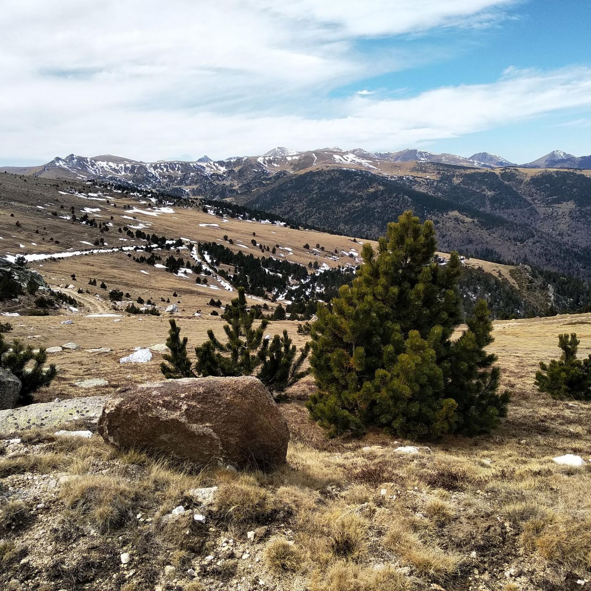
Gravel biking around Py features a landscape characterized by significant elevation changes, mountain passes, and varied terrain suitable for challenging rides. The region's routes often traverse through forested areas and open mountain slopes, providing diverse riding conditions. With a predominance of difficult trails, Py offers a robust environment for experienced gravel bikers seeking demanding climbs and descents. The area's geography includes numerous passes and valleys, shaping the nature of the gravel biking experience.
Best gravel bike trails around Py
- The…
Last updated: October 19, 2026
4.0
(2)
13
riders
33.5km
02:36
890m
890m
Hard gravel ride. Very good fitness required. Mostly paved surfaces. Suitable for all skill levels.
4.0
(2)
23
riders
52.6km
03:57
980m
980m
Hard gravel ride. Very good fitness required. Mostly paved surfaces. Suitable for all skill levels.

8
riders
58.5km
05:14
1,710m
1,710m
Hard gravel ride. Very good fitness required. Mostly paved surfaces. Suitable for all skill levels.
4.8
(4)
13
riders
51.0km
04:13
1,700m
1,700m
Hard gravel ride. Very good fitness required. Mostly paved surfaces. Suitable for all skill levels.
4.5
(2)
9
riders
27.6km
02:08
710m
710m
Hard gravel ride. Very good fitness required. Mostly paved surfaces. Suitable for all skill levels.
Get access to more routes and recommendations from other explorers.
Already have an account?
Our route recommendations are based on thousands of hikes, rides, and runs completed by other people on komoot.
Start today with a free account
Your next adventure awaits.


Other adventures around Py

Tips from the Community

Basic necessities are available. However, you may need to call the owner. ;-)
0
0

This ancient trading town, the capital of Conflent, has preserved some beautiful traces of its history and its status as a defensive town. Examples include the ramparts and the Viguerie Tower, built by the Count of Cerdagne in the 11th century and subsequently reinforced by Vauban's fortifications in the 17th century.
0
0
VIllefranche-de-Conflent is a town with an exceptional heritage: from the Middle Ages to the present day, time has left its mark in the stones of the men who built, conquered or lived in the town. More than anyone, Vauban, the "Sun King's wanderer", has left his mark here.
10
0
The Col de Jou from Villefranche de Conflent is a climb in the French Pyrenees. This climb is 11.4 kilometers long and has a positive elevation gain of 687 meters. The Col de Jou from Villefranche de Conflent has an average gradient of 6%.
15
0
Fuilla is a village of five hamlets in the heart of the Apple Valley, where the Rotja River flows. It boasts a rich Romanesque heritage, landscapes, unspoiled nature, a diverse population, and a dynamic community that is recognizable even beyond the valleys.
17
0
Down or up, this trail is steep, but easily walkable.
24
0
Frequently Asked Questions
What is the typical difficulty and distance of gravel bike trails in Py?
Gravel biking in Py is predominantly challenging, with 12 out of 13 routes rated as difficult. These trails often feature significant elevation changes and mountain passes. Distances vary, but many routes are substantial, such as the Church in the village – Villefranche-de-Conflent loop from Serdinya, which is 32.8 miles (52.8 km) with considerable climbs, or the even longer Mantet Pass – Prats de Molló loop from Py at over 62 miles (100 km) with 3,000 meters of ascent.
Are there any family-friendly or beginner gravel bike routes in Py?
Py is generally geared towards experienced gravel bikers due to its challenging terrain and significant elevation gains. There are no routes specifically rated as easy. However, there is one moderate route among the 13 available. For families or beginners, it's advisable to carefully review route profiles and consider shorter, less technical sections if available, or explore other regions with more gentle terrain.
What kind of terrain can I expect on the gravel bike trails around Py?
The terrain around Py is highly varied, characterized by significant elevation changes, mountain passes, and diverse surfaces. You'll often traverse through forested areas and open mountain slopes. Expect a mix of gravel roads, potentially some rougher tracks, and demanding climbs and descents as you navigate the region's valleys and passes.
What is the best time of year for gravel biking in Py?
Given the mountainous nature of Py, the best time for gravel biking is typically from late spring through early autumn (May to October). During these months, you'll generally find more favorable weather conditions, less snow at higher elevations, and open mountain passes. Always check local weather forecasts and trail conditions before heading out, especially in shoulder seasons.
Are there any circular gravel bike routes available in Py?
Yes, many of the gravel bike trails in Py are designed as circular routes, allowing you to start and finish at the same point. Examples include the popular Col de la Creu – Col de la Llose loop from Olette - Canaveilles-les-Bains, which covers 36.3 miles (58.4 km) through high mountain passes, and the Jou Pass – Church in the village loop from Fuilla, a 17.1 miles (27.6 km) trail through valleys and passes.
What nearby attractions or points of interest can I explore along the gravel routes?
The Py region offers stunning natural attractions. Along your rides, you might encounter impressive gorges and natural monuments. Consider exploring highlights like the Carança Corniche or The Footbridges of the Carançà Gorge. For those interested in mountain shelters, the area also features several huts and refuges, such as the Cortalets Refuge or Mariailles Refuge, which can be points of interest or even overnight stops on longer tours.
What do other gravel bikers enjoy most about riding in Py?
The komoot community highly rates gravel biking in Py, with an average score of 4.5 stars from more than 10 reviews. Riders frequently praise the challenging mountain passes, significant elevation gains, and the diverse natural landscapes that define the experience. The region offers a robust environment for those seeking demanding climbs and descents amidst varied terrain.
Are there any specific routes that offer particularly scenic views?
While all routes in Py offer scenic mountain views, the Nice single trail – Mantet Pass loop from Corneilla-de-Conflent is known for its beautiful singletrack sections and panoramic vistas as it traverses towards Mantet Pass. Routes crossing high mountain passes, like the Col de la Creu – Col de la Llose loop, also provide extensive views of the surrounding valleys and peaks.
How many gravel bike trails are available in the Py region?
There are 13 distinct gravel bike trails available in the Py region, offering a range of challenging experiences for riders. The vast majority of these routes are rated as difficult, with one moderate option also present.
Is it possible to access the gravel trails using public transport?
Access to trailheads in mountainous regions like Py can sometimes be limited by public transport. While some villages might have bus services, direct access to all starting points for gravel trails may require personal vehicle transport. It's recommended to check local bus schedules for specific villages near your chosen trailhead, such as Serdinya or Olette, and plan accordingly.
Where can I find parking for gravel biking trails near Py?
Parking availability will vary depending on the specific trailhead you choose. Many routes start from villages or small towns like Serdinya, Olette - Canaveilles-les-Bains, or Fuilla, where public parking might be available. For routes starting in more remote areas, look for designated parking spots near trailheads or inquire with local tourist information centers for the best options. Always park responsibly and ensure you are not obstructing local access.
What are the typical weather conditions for gravel biking in Py?
Py experiences mountain weather, which can be variable. Summers are generally warm and sunny, but thunderstorms can occur, especially in the afternoons. Spring and autumn offer cooler temperatures and beautiful foliage but can also bring rain or early snow at higher elevations. Winters are cold with significant snowfall, making many trails impassable. Always be prepared for changing conditions, carry appropriate gear, and check forecasts before your ride.
Most popular attractions around Py

Get inspired with the komoot mobile app


Explore more
Browse the best Gravel rides in other regions.
