The best gravel rides around Prats-De-Sournia
5.0
(8)
88
riders
6
rides
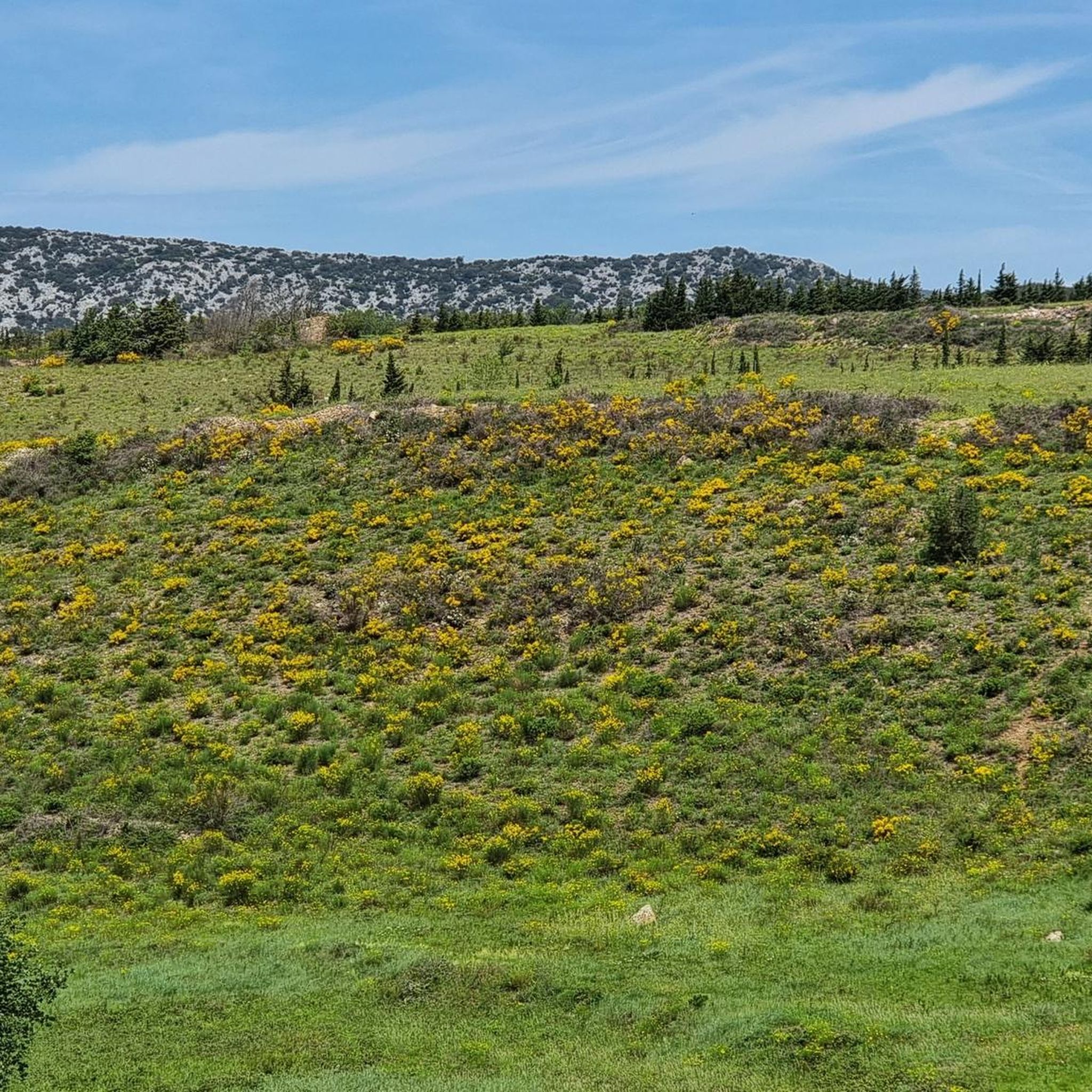
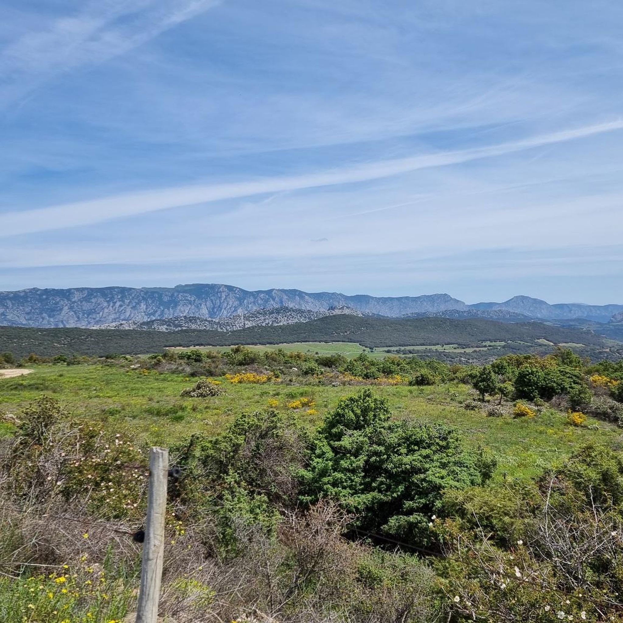
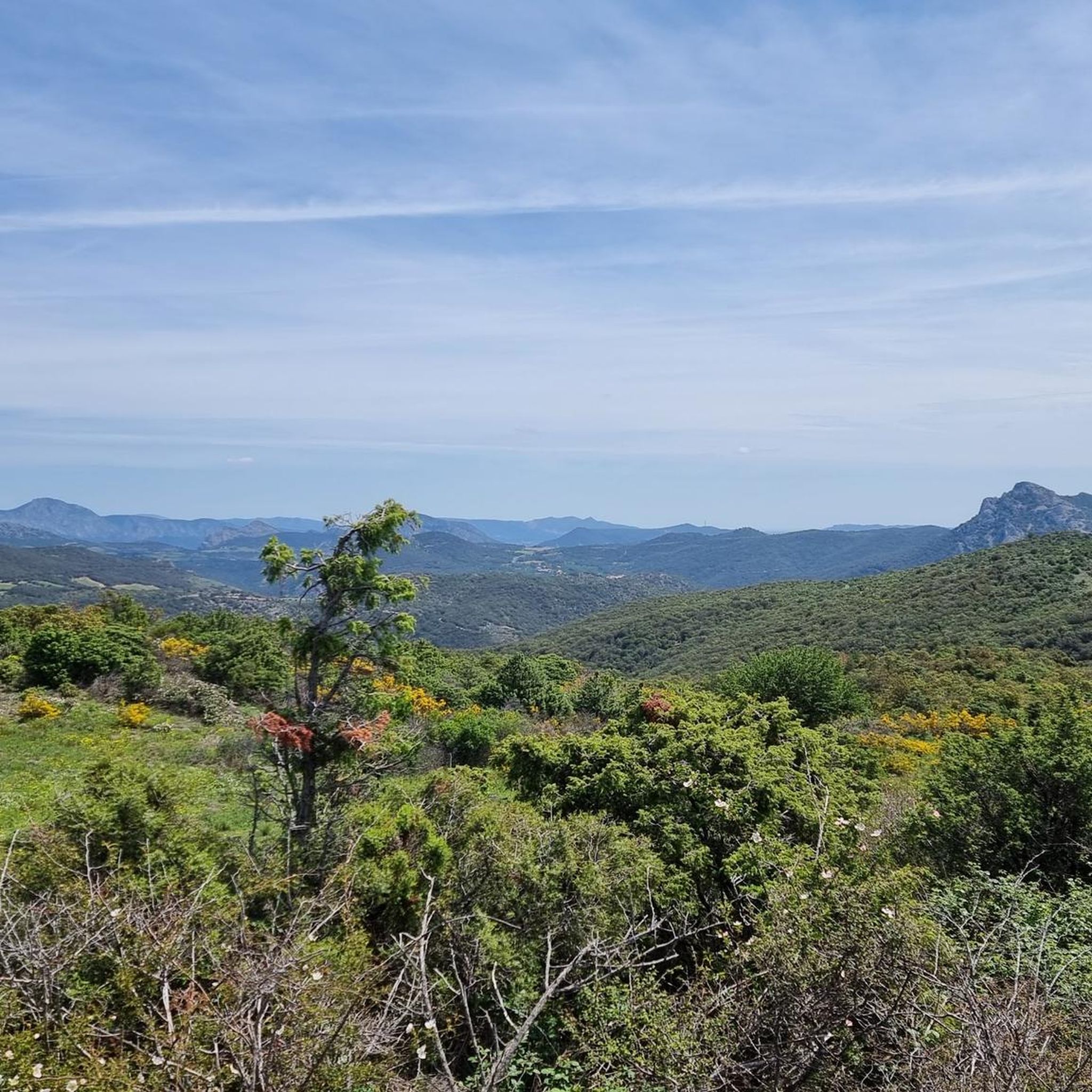
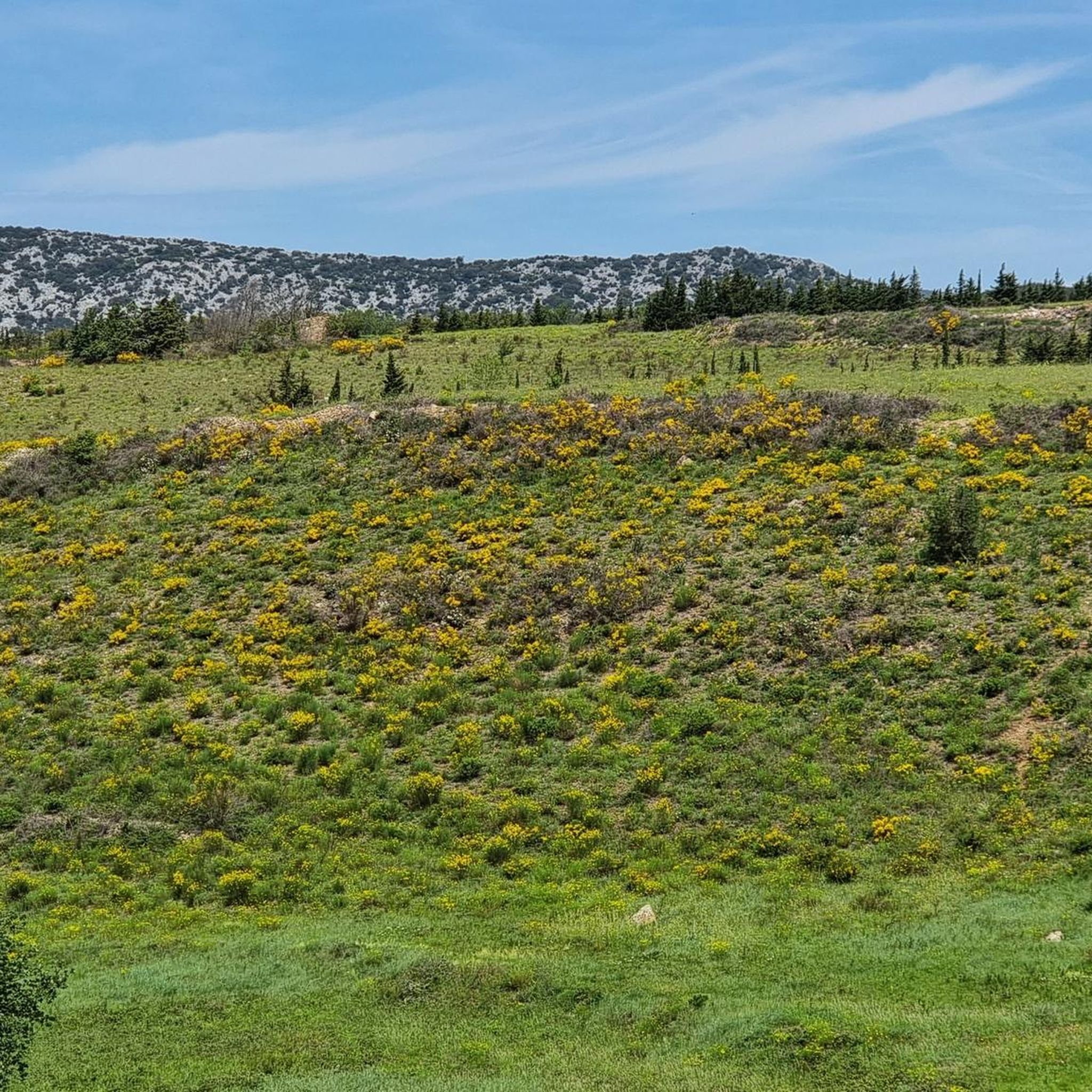
Gravel biking around Prats-De-Sournia, located in the Pyrénées-Orientales department, offers access to an extensive network of unsealed roads within the Pyrenees Mountains. The region is characterized by its elevated position at 640 meters, providing panoramic views across the Corbières mountain range and the Roussillon plain. Terrain includes varied surfaces such as gravel roads, farm tracks, and fire roads, traversing fields, vineyards, forests, and open lands. This area provides a mix of challenging gravel sections and quieter roads, suitable for exploring…
Last updated: July 2, 2026
5.0
(3)
21
riders
55.9km
04:40
1,010m
1,010m
Hard gravel ride. Very good fitness required. Mostly paved surfaces. Suitable for all skill levels.
13
riders
67.3km
04:49
1,320m
1,320m
Hard gravel ride. Very good fitness required. Mostly paved surfaces. Suitable for all skill levels.

Sign up for free
10
riders
47.2km
03:55
1,110m
1,110m
Hard gravel ride. Very good fitness required. Mostly paved surfaces. Suitable for all skill levels.
5.0
(1)
10
riders
28.1km
02:05
560m
560m
Hard gravel ride. Very good fitness required. Mostly paved surfaces. Suitable for all skill levels.
6
riders
41.8km
03:36
970m
960m
Hard gravel ride. Very good fitness required. Mostly paved surfaces. Suitable for all skill levels.
Our route recommendations are based on thousands of hikes, rides, and runs completed by other people on komoot.
Start today with a free account
Your next adventure awaits.
Login or Signup
Tips from the Community

The Lac de Vinça is a reservoir on the Têt, created in 1973.
1
0

Beautiful view of the lake from the gravel track
0
0

It is definitely worth getting off, buying a ticket and walking a bit to really see it properly.
0
0
A unique spot in France, a landscape of fairy chimneys with a fragile, ephemeral beauty. It presents cliffs of sand and clay, patiently chiseled by the rain. Erosion has worked like an artist.
0
0
The view is on the village of Rodes.
0
0
The municipality of Rodès is located on the edge of the Conflent nature reserve, 6 km from Ille-sur-Têt and 3 km from Vinça. To the north, it borders two municipalities in the Fenouillèdes nature reserve: Trévillach and Montalba-le-Château.
0
0
In winter the 2800 meter high peak is covered in snow, in summer you see the old dried glaciers
0
0

mountain pass or hill located in the Conflent region, in the Eastern Pyrenees (France).
0
0
Frequently Asked Questions
What is the general terrain like for gravel biking around Prats-De-Sournia?
The terrain around Prats-De-Sournia is characterized by varied surfaces, including both paved and unpaved sections, set within the mountainous landscapes of the Pyrenees. You can expect to ride through meadows and encounter historical stone huts known as "orris" along the routes. The region offers a diverse riding experience with profound natural beauty.
How challenging are the gravel bike trails in this area?
The gravel bike trails around Prats-De-Sournia are generally considered challenging, featuring significant elevation changes. All the routes listed in this guide are rated as difficult, requiring good fitness and advanced riding skills. For example, the Bélesta Village – View of Canigou loop from Vinça covers 34.7 miles (55.9 km) with over 1000 meters of elevation gain.
What kind of elevation gain can I expect on gravel rides near Prats-De-Sournia?
Gravel rides in this area typically involve substantial elevation gain. For instance, the Lake Vinça – Bridge over the Têt loop from Vinça includes over 750 meters of ascent, while the Galamus Gorges – Galamus Gorge loop from Saint-Paul-de-Fenouillet features more than 925 meters of climbing.
What natural features or landmarks can I see along the gravel bike trails?
You'll encounter stunning natural features and landmarks. Many routes offer superb panoramic views stretching towards the iconic Canigou peak. You can also explore dramatic geological formations like the Guilléra Gorges and Rodès Canal, the Gorges of Saint-Jaume, and the Gorges of the Agly. The Galamus Gorges loop specifically takes you through a dramatic gorge.
Are there any historical sites or charming villages to explore near the gravel routes?
Yes, the area is rich in history and picturesque villages. You can visit the Roman Aqueduct of Ansignan or the ancient Dolmen d'Udolán. The region is also close to historic Cathar Castles like Château de Puilaurens and charming villages such as Eus (a "Most Beautiful Village") and Villefranche-de-Conflent (a UNESCO World Heritage site).
What is the best time of year for gravel biking in Prats-De-Sournia?
The Pyrenees region generally offers excellent conditions for gravel biking outside of the peak winter months when higher elevations might be affected by snow. Spring and autumn provide pleasant temperatures and vibrant landscapes, while summer can be warm but still enjoyable, especially in the mornings or evenings. Always check local weather conditions before heading out.
Are there loop routes available for gravel biking?
Yes, all the featured gravel bike trails in this guide are designed as loops, allowing you to start and finish at the same point. Examples include the Former Marcevol Priory – Lake Vinça loop from Arboussols and the Roque Jalère Pass – Col de Roque Jalère (991 m) loop from Trévillach.
Where can I park my car when starting a gravel bike ride?
While specific parking locations are not detailed for each route, many trailheads in the region, especially near villages like Vinça or Saint-Paul-de-Fenouillet, typically offer public parking facilities. It's advisable to check the starting point of your chosen route on komoot for any specific parking recommendations or local signage.
Is public transport an option for reaching gravel bike trails in Prats-De-Sournia?
Public transport options directly to specific gravel trailheads in rural areas like Prats-De-Sournia can be limited. While regional buses might serve larger towns, bringing a bike on board may require specific arrangements. Planning to drive to a starting point is often the most convenient option for accessing these trails.
What do other gravel bikers enjoy the most about gravel biking in Prats-De-Sournia?
The area is highly rated by the komoot community, with an average score of 5.0 stars from 5 reviews. Reviewers often praise the stunning mountainous landscapes, the diverse terrain, and the immersive experience of riding through the Pyrenees. The opportunity to discover historical 'orris' and panoramic views towards Canigou are frequently highlighted.
Are there any easier gravel biking options for beginners or families?
Currently, all the gravel bike routes highlighted in this guide for Prats-De-Sournia are rated as difficult, featuring significant elevation and challenging terrain. While the broader Pyrenees region offers varied terrain, these specific routes are best suited for experienced gravel bikers. It's recommended to check individual route details on komoot for the most up-to-date difficulty ratings and user reviews to find trails that match your skill level.
Most popular routes around Prats-De-Sournia
Most popular attractions around Prats-De-Sournia

Get inspired with the komoot mobile app


Explore more
Browse the best Gravel rides in other regions.
