The best gravel rides around Montgreleix
4.7
(8)
69
riders
13
rides
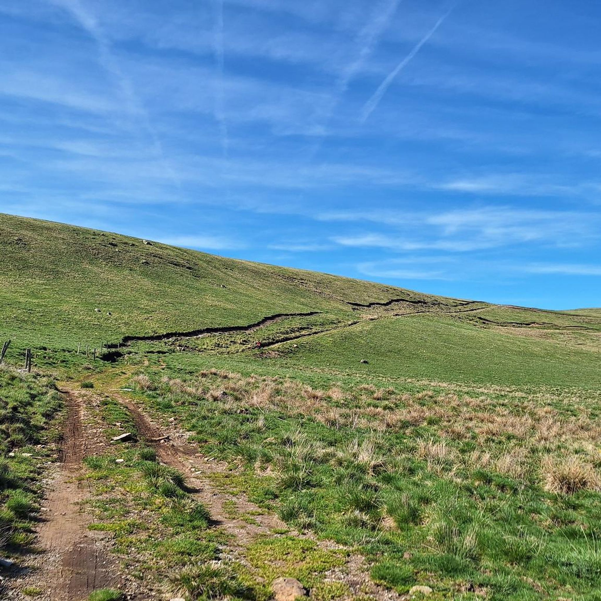
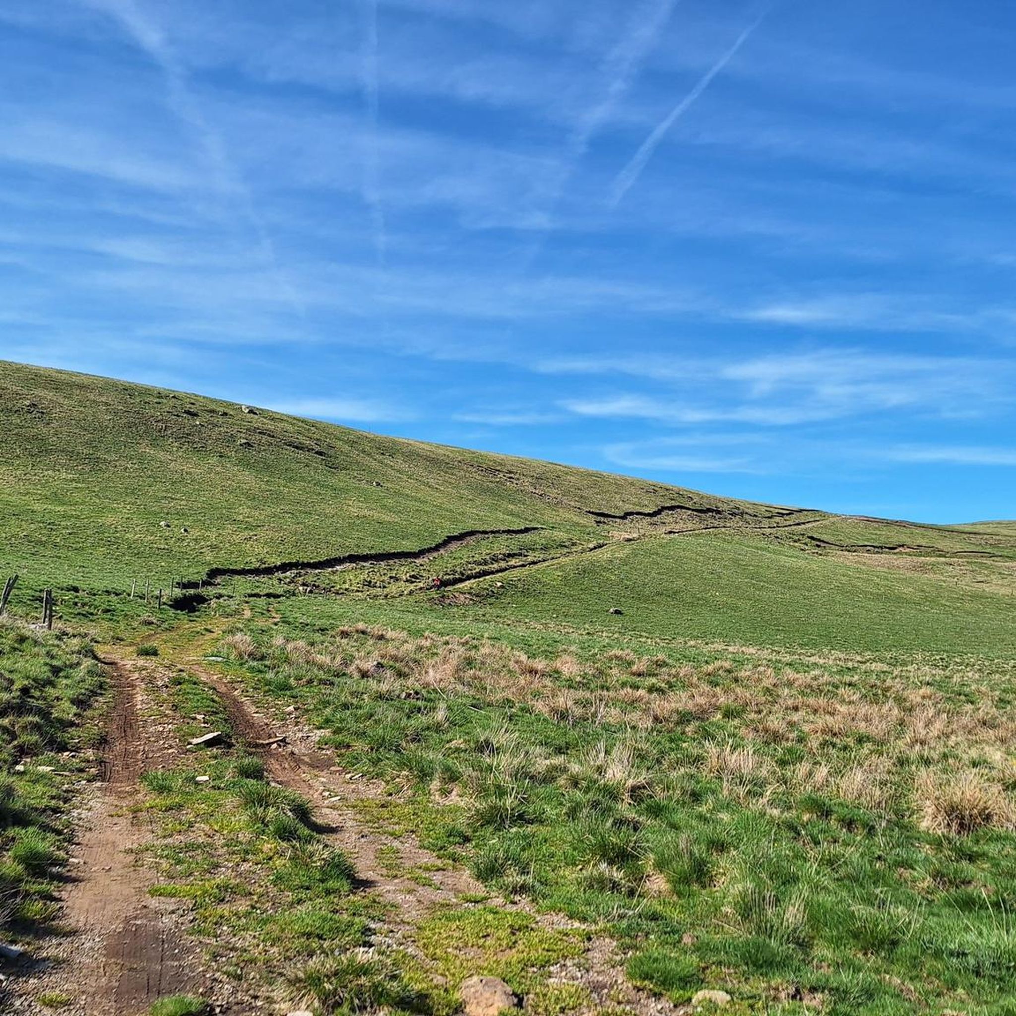
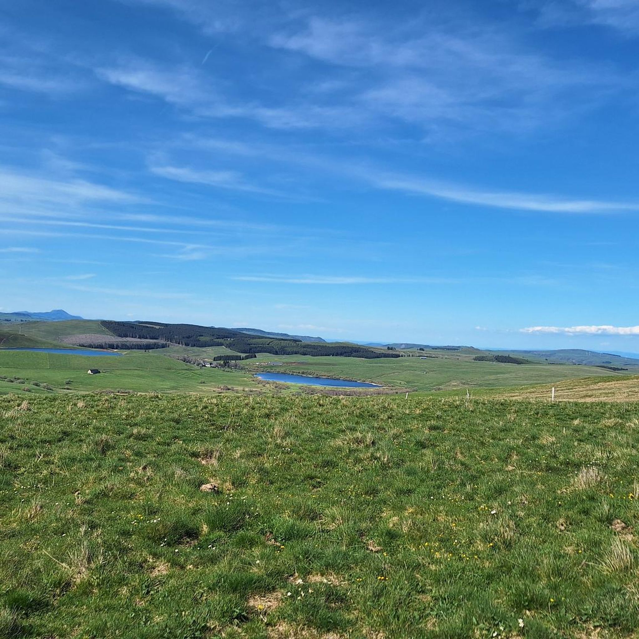
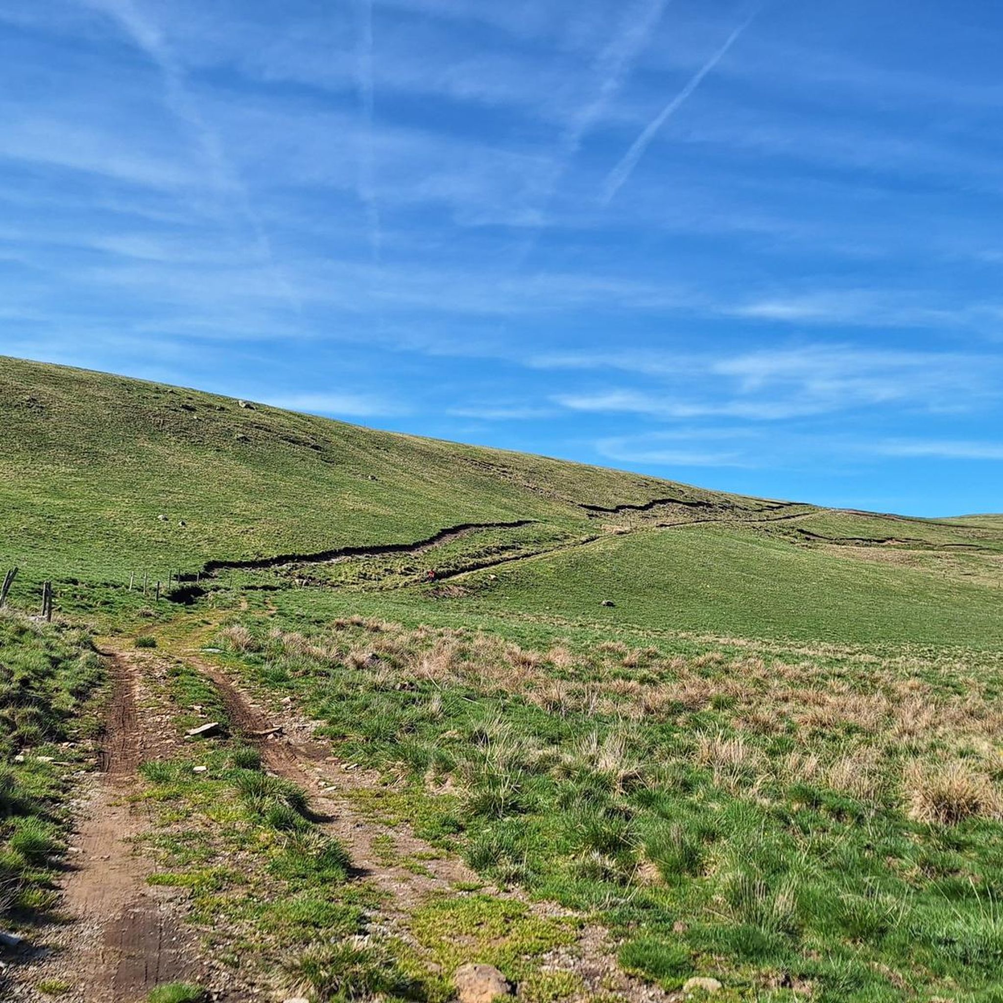
Gravel biking around Montgreleix offers routes through the expansive landscapes of the Cézallier area, situated at the border of the Puy-de-Dôme and Cantal departments. The region is characterized by vast meadows, summer pastures, and rolling, verdant hills, providing diverse terrain for gravel cyclists. Montgreleix is set within the broader Auvergne Regional Natural Park, featuring a geologically rich environment with volcanic influences. Traditional burons and high-altitude pastures known as "estives" add to the distinctive character of the routes.
Best gravel bike…
Last updated: July 16, 2026
4.5
(2)
13
riders
61.4km
04:13
1,150m
1,150m
Hard gravel ride. Very good fitness required. Mostly paved surfaces. Suitable for all skill levels.
20
riders
74.1km
05:05
1,460m
1,460m
Hard gravel ride. Very good fitness required. Mostly paved surfaces. Suitable for all skill levels.

Sign up for free
5.0
(2)
15
riders
120km
08:24
2,470m
2,470m
Hard gravel ride. Very good fitness required. Mostly paved surfaces. Suitable for all skill levels.
5.0
(1)
5
riders
33.2km
02:12
630m
630m
Hard gravel ride. Very good fitness required. Mostly paved surfaces. Suitable for all skill levels.
7
riders
62.6km
04:20
1,200m
1,200m
Hard gravel ride. Very good fitness required. Mostly paved surfaces. Suitable for all skill levels.
Get access to more routes and recommendations from other explorers.
Sign up for free
Already have an account?
Our route recommendations are based on thousands of hikes, rides, and runs completed by other people on komoot.
Start today with a free account
Your next adventure awaits.
Login or Signup
Tips from the Community

Very beautiful route The Volcanoes
0
0

The view is magnificent and the path is smooth.
0
0
very pretty pass typical of Cezallier
1
0

Not too difficult, I did it on a mountain bike.
0
0

Nice little bustling place. Luckily the weather wasn't so good, otherwise there would definitely be more going on. More info: https://de.wikipedia.org/wiki/Murol?wprov=sfla1.
0
0


Frequently Asked Questions
How many gravel bike trails are available around Montgreleix?
There are 14 gravel bike routes available around Montgreleix. These routes offer diverse terrain through the Cézallier area, known for its vast meadows and rolling hills.
What kind of difficulty can I expect on gravel bike trails near Montgreleix?
The gravel bike trails around Montgreleix are primarily categorized as moderate to difficult. There are 4 moderate routes and 10 difficult routes, offering significant climbs and varied terrain suitable for experienced gravel bikers. For example, the Fortunier Pass – Montée Paillasseyre loop from Pradiers is a challenging 63.8 km ride with over 1200 meters of elevation gain.
What is the best time of year for gravel biking in Montgreleix?
The best time for gravel biking in Montgreleix is typically from spring through autumn. During these seasons, the weather is generally favorable, allowing you to fully enjoy the vast meadows, summer pastures, and exceptional panoramas of the Cézallier. Winters can bring snow, making some paths suitable for cross-country skiing or snowshoeing instead.
What natural landmarks or viewpoints can I discover along the gravel bike trails?
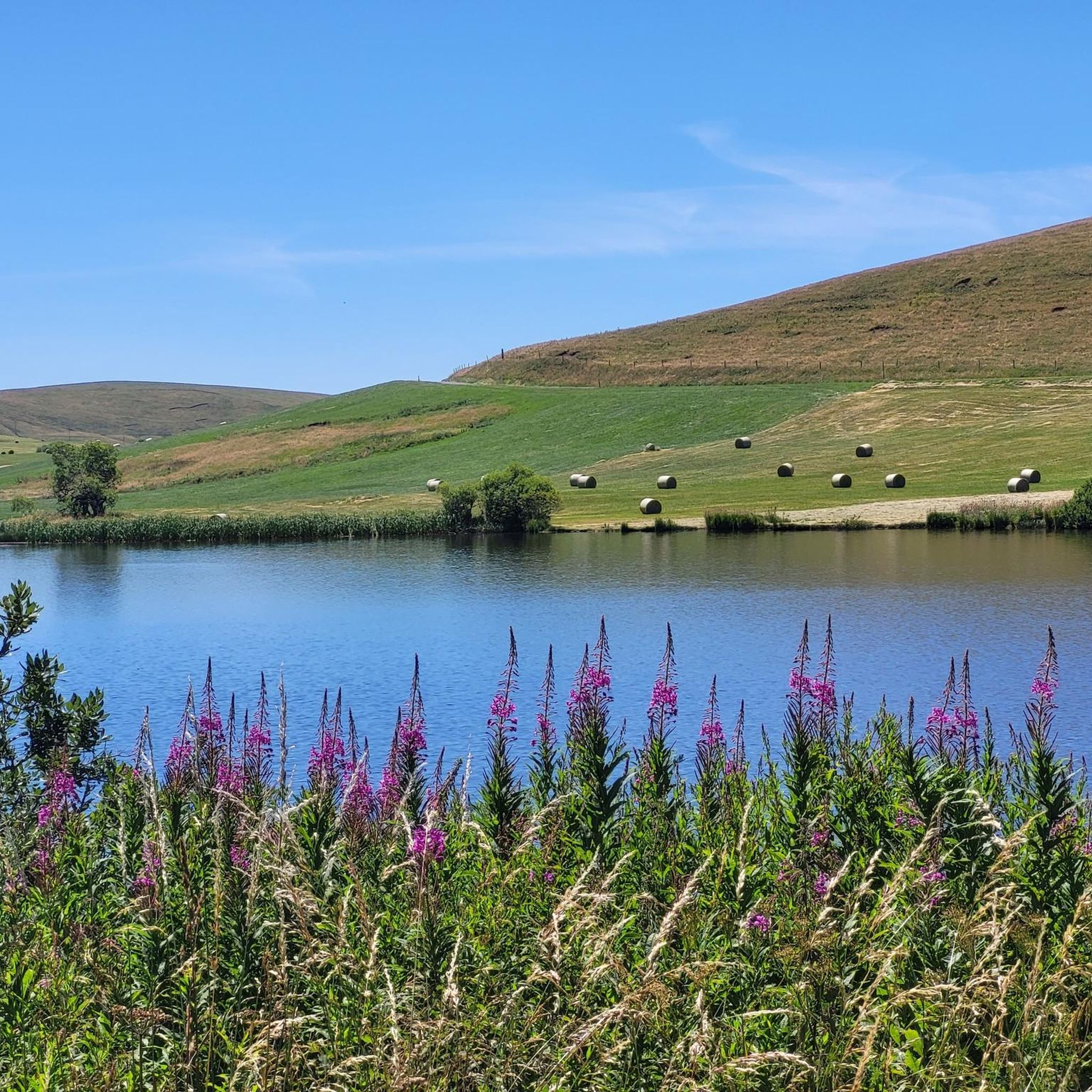
Montgreleix offers exceptional panoramas and natural landmarks. You can enjoy magnificent views from Mont Chamaroux, which overlooks the region. The area is also dotted with traditional 'burons' and high-altitude 'estives'. You might also pass by the tranquil Lac Chauvet, a beautiful lake bordered by a pine forest.
Are there any waterfalls to see while gravel biking in Montgreleix?
Yes, you can encounter beautiful waterfalls in the vicinity of Montgreleix. Notable ones include the Cascade des Veyrines and the Saillant Waterfall, which can provide scenic stops during your ride.
Are there any circular gravel bike routes available?
Many of the gravel bike routes around Montgreleix are designed as loops, allowing you to start and finish at the same point. For instance, the La Godivelle – La Godivelle loop from La Godivelle is a popular 68.1 km circular path exploring diverse landscapes around the village of La Godivelle.
Is there parking available for gravel bike trails in Montgreleix?
While specific parking areas for each trail are not always designated, Montgreleix and surrounding villages like Pradiers or La Godivelle typically offer public parking options where you can leave your vehicle before starting your gravel bike adventure. It's advisable to check local signage upon arrival.
Are there family-friendly gravel bike routes in Montgreleix?
The gravel bike routes around Montgreleix are generally rated as moderate to difficult, with significant distances and elevation changes. There are no routes specifically categorized as easy. Families with younger children or those seeking very gentle rides might find the terrain challenging. However, experienced families could consider shorter sections of the longer routes or explore local paths.
Can I bring my dog on the gravel bike trails in Montgreleix?
Many natural areas in France, including the Auvergne Regional Natural Park where Montgreleix is located, permit dogs on trails, often requiring them to be on a leash. Given the presence of livestock in the 'estives' (high-altitude pastures), keeping your dog under control is crucial. Always check specific local regulations or signage for any restrictions on individual trails.
What are the typical terrain conditions for gravel biking in Montgreleix?
The terrain around Montgreleix is characterized by a mix of vast meadows, summer pastures, and rolling, verdant hills. You'll encounter gravel paths, country lanes, and potentially some sections of established hiking or mountain biking trails. The region's volcanic influences within the Auvergne Regional Natural Park contribute to its diverse and often undulating landscape.
Are there any challenging gravel bike routes in the Montgreleix area?
Yes, Montgreleix offers several challenging gravel bike routes. For instance, the Chamaroux Pass – La Godivelle loop from La Godivelle is a difficult 58.3 km trail with over 1000 meters of climbing, leading through the scenic Chamaroux Pass area. Another demanding option is the extensive Lake Montcineyre – Lac Pavin loop from Landeyrat, covering 115.4 km with over 2000 meters of elevation gain.
What do other gravel bikers enjoy the most about gravel biking in Montgreleix?
The komoot community highly rates the gravel biking experience in Montgreleix, with an average score of 4.0 stars. Riders often praise the expansive landscapes, the unique character of the 'estives' and 'burons', and the visually rewarding experience offered by the exceptional panoramas and rolling hills of the Cézallier.
Most popular routes around Montgreleix
Most popular attractions around Montgreleix

Get inspired with the komoot mobile app


Explore more
Browse the best Gravel rides in other regions.
