The best gravel rides around Ollières
3.3
(3)
8
riders
4
rides
Gravel biking around Ollières offers a diverse landscape characterized by a mix of converted rail trails, rolling hills, and scenic views of the surrounding Provençal countryside. The region features varied terrain, including sections along former railway lines and paths leading through agricultural areas. This provides a range of surfaces suitable for gravel bikes, from smoother compacted chippings to more rugged tracks.
Best gravel bike trails around Ollières
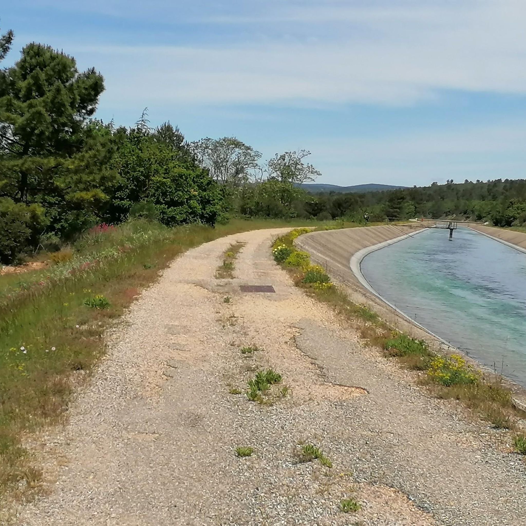
- The most popular gravel bike trail is Trail to the Canal – Arrival…
Last updated: July 3, 2026
1
riders
42.0km
03:00
600m
600m
Hard gravel ride. Very good fitness required. Mostly paved surfaces. Suitable for all skill levels.
3.0
(1)
1
riders
24.6km
02:03
430m
430m
Moderate gravel ride. Good fitness required. Mostly paved surfaces. Suitable for all skill levels.

Sign up for free
3.5
(2)
2
riders
64.1km
04:30
1,010m
1,010m
Hard gravel ride. Very good fitness required. Mostly paved surfaces. Suitable for all skill levels.
2
riders
51.5km
03:49
830m
830m
Hard gravel ride. Very good fitness required. Mostly paved surfaces. Suitable for all skill levels.
2
riders
63.8km
04:43
1,040m
1,040m
Hard gravel ride. Very good fitness required. You may need to push your bike for some segments of this route.
Our route recommendations are based on thousands of hikes, rides, and runs completed by other people on komoot.
Start today with a free account
Your next adventure awaits.
Login or Signup
Tips from the Community


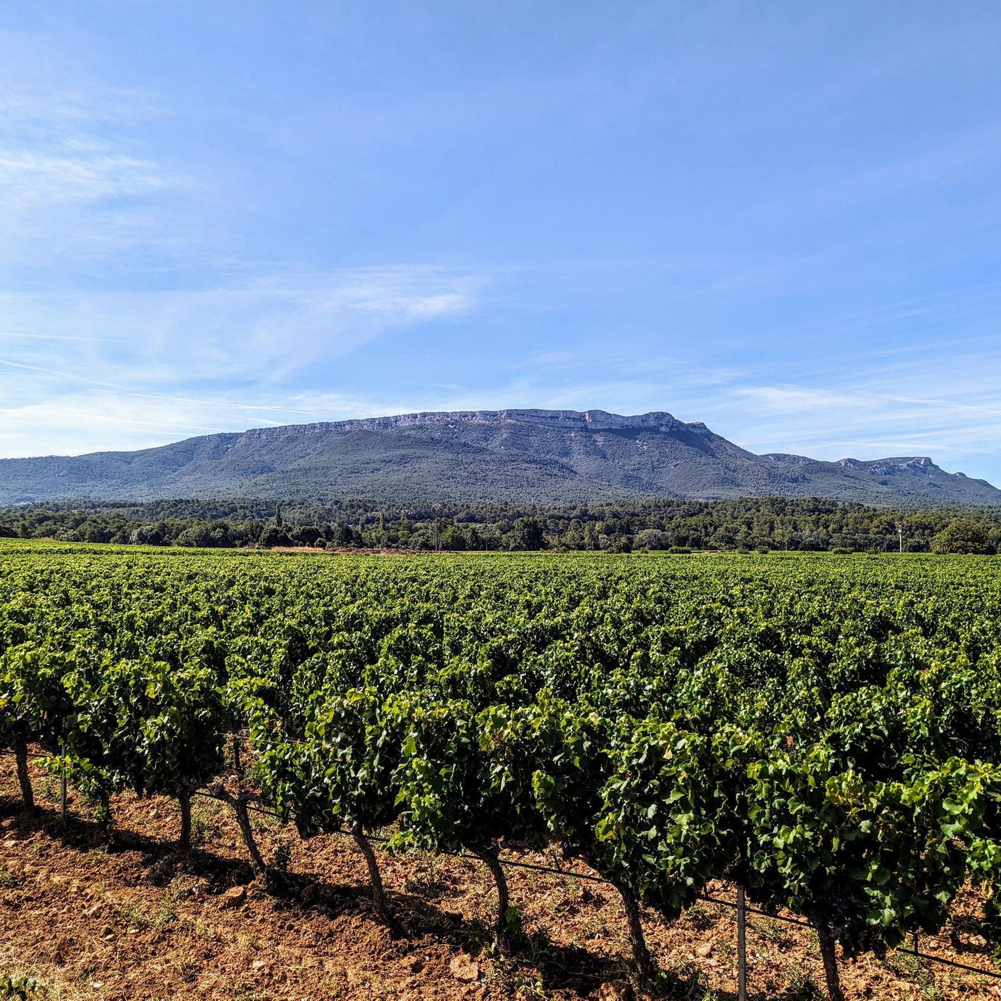
A superb road clinging to the hillside between rocks and vineyards, offering sweeping views across the plain. The surface has been almost entirely redone... it's like a billiard table!
1
0

The roads are narrow and rather rough, but they're a delight to ride, and the scenery is magnificent. Water bottles should be well-filled; there are no springs along the way.
2
0

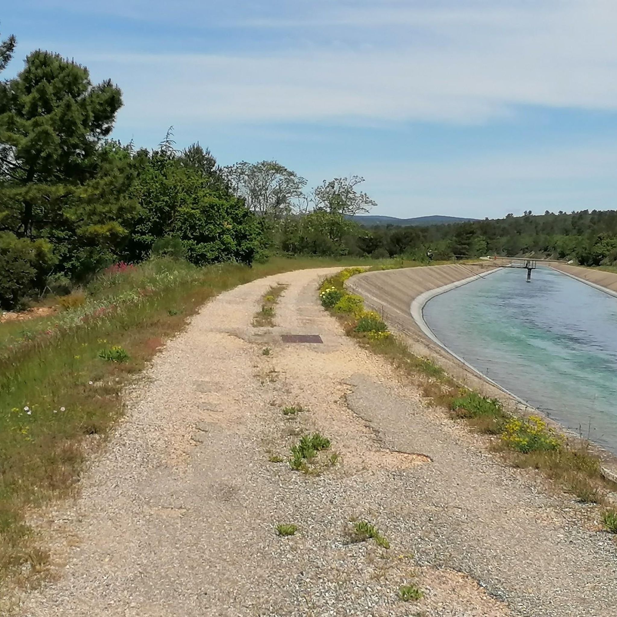
The route is now really well paved and you can make great progress
1
0

Free self-guided tour, opening from 7am, description of the basilica at €0.50 - Magnificent religious building which is well worth the detour and the hour I spent visiting the whole thing.
1
0

Be careful when you turn onto the path from Varage; I had a huge fall there, resulting in 2 broken ones Poor. It is nice loose gravel, you quickly slide down!
0
0

For a refreshing break!
0
1

The Bimont dam, also called the Bimont dam or the Rigaud dam, is an arch dam commissioned in 1952 in the town of Saint-Marc-Jaumegarde, in the Sainte-Victoire mountain, near Aix-en-Provence. It is fed mainly by water from the west branch of the Canal de Provence, which is brought in via an underground gallery and drains off on the right bank just before the dam. It is accompanied by a counter dam located at its foot on the left bank, which collects the spilled water to supply the Marseille-North branch of the Provence Canal.
2
0
Frequently Asked Questions
How many gravel bike trails are available around Ollières?
There are 11 gravel bike trails around Ollières documented on komoot. These routes offer a diverse landscape with rolling hills and scenic views of the Provençal countryside, catering primarily to moderate and difficult skill levels.
Are there any easy gravel bike trails for beginners in Ollières?
While Ollières primarily features moderate to difficult gravel routes, the terrain often includes sections along former rail lines which can offer a more consistent surface. There are no routes specifically graded as 'easy' in this guide, but some sections of the longer routes might be suitable for those looking for less technical challenges.
What kind of terrain can I expect on gravel bike trails in Ollières?
The gravel bike trails around Ollières are characterized by a mix of converted rail trails, rolling hills, and paths through agricultural areas. You'll encounter varied surfaces, from smoother compacted chippings on former railway lines to more rugged tracks, all set against the backdrop of the Provençal landscape.
Are there any family-friendly gravel bike routes in Ollières?
The routes in Ollières are generally rated as moderate to difficult, making them more suitable for experienced gravel bikers. There are no routes specifically highlighted as family-friendly in this selection, as they often involve significant distances and elevation changes.
What are the typical lengths and durations of gravel bike rides in Ollières?
Gravel bike routes in Ollières vary in length and duration. For instance, the Trail to the Canal – Arrival at Pourrières loop from Pourrières is about 41.9 km (26.0 miles) and takes nearly 3 hours, while the Barjols–Varages Rail Trail – Fontaine Raynoard loop from Rians is a longer 72.2 km (44.9 miles) route, typically completed in just over 5 hours.
What is the best time of year for gravel biking in Ollières?
The Provençal climate generally offers pleasant conditions for gravel biking for much of the year. Spring and autumn are often ideal, with milder temperatures and beautiful scenery. Summers can be hot, so early morning or late afternoon rides are recommended, while winters are generally mild but can have occasional rain.
Are there any circular gravel bike routes available?
Yes, many of the gravel bike routes around Ollières are designed as loops. Examples include the Compact chippings – Barjols–Varages Rail Trail loop from Esparron-de-Pallières, which is a 39.6 km (24.6 miles) circular trail, and the To Châteauvert – Barjols–Varages Rail Trail loop from Saint-Maximin-la-Sainte-Baume, a 64 km (39.8 miles) loop.
What can I see along the gravel bike trails in Ollières?
While riding the gravel trails, you can explore various points of interest. Notable attractions include the historic Château de Saint-Martin-de-Pallières, the scenic Col des Portes, and the Malivert oratory. You might also encounter the Catholic Church - St. Trophime of Pourrières.
What do other gravel bikers enjoy the most about gravel biking in Ollières?
The komoot community highly rates the gravel biking experience in Ollières, with an average score of 3.9 stars from over 10 reviews. Riders often praise the diverse terrain, the scenic views of the Provençal landscape, and the unique experience of riding along converted rail trails.
Are there any specific viewpoints or scenic sections on the trails?
Yes, the region offers several scenic spots. For instance, the PUYLOUBIER GRAVEL SECTION is noted as a viewpoint. Many routes also offer expansive views of the surrounding Provençal countryside and rolling hills, particularly those that climb to higher elevations.
Are there any moderate gravel bike routes in the area?
Yes, there are a few moderate gravel bike routes. One example is the Arrival at Pourrières – Sainte-Victoire View loop from Pourrières, which is about 24.6 km (15.3 miles) long and takes around 2 hours 6 minutes to complete, offering a good option for those seeking a less strenuous ride than the difficult routes.
Most popular attractions around Ollières

Get inspired with the komoot mobile app


Explore more
Browse the best Gravel rides in other regions.
