The best gravel rides around Milly-Lamartine
4.6
(6)
105
riders
14
rides
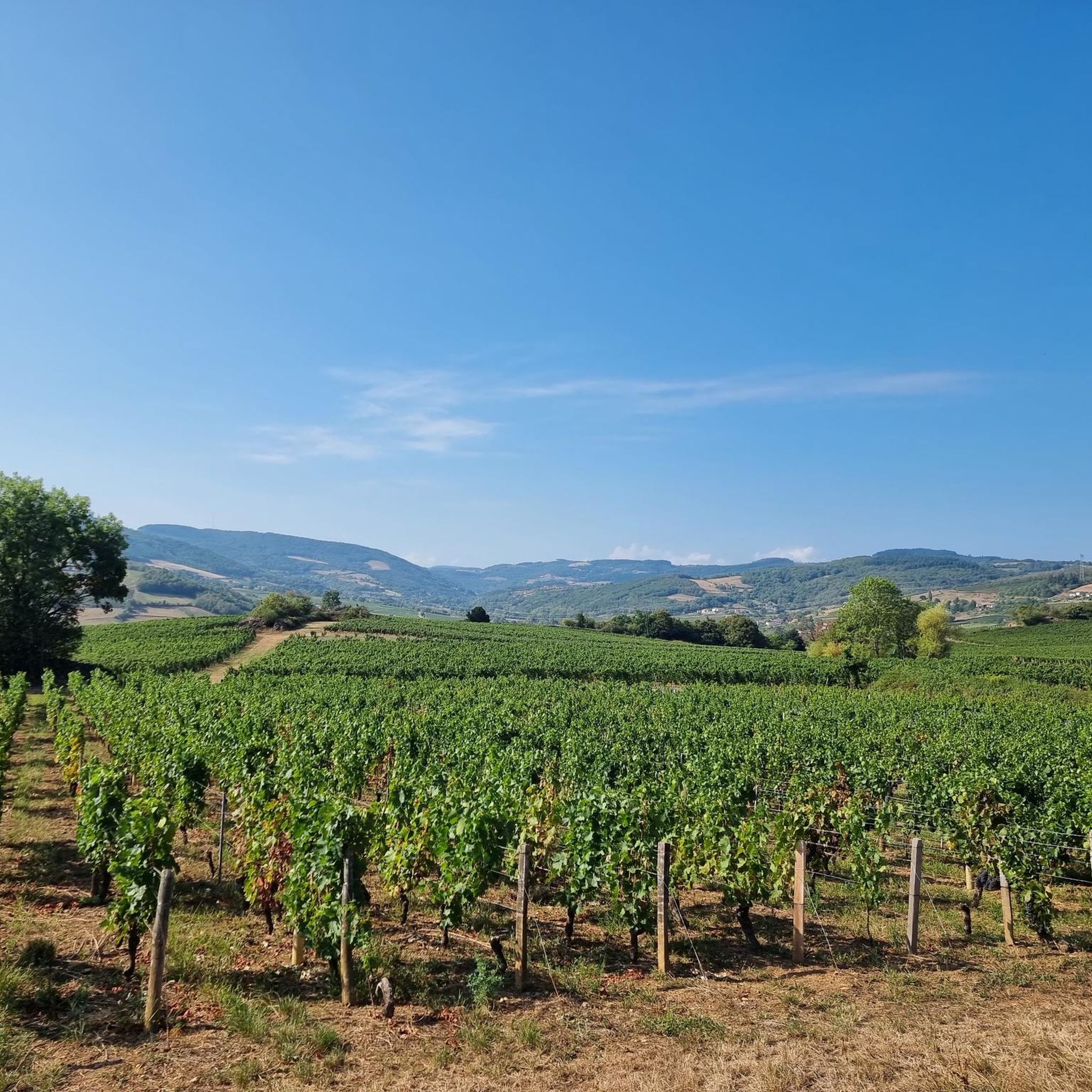
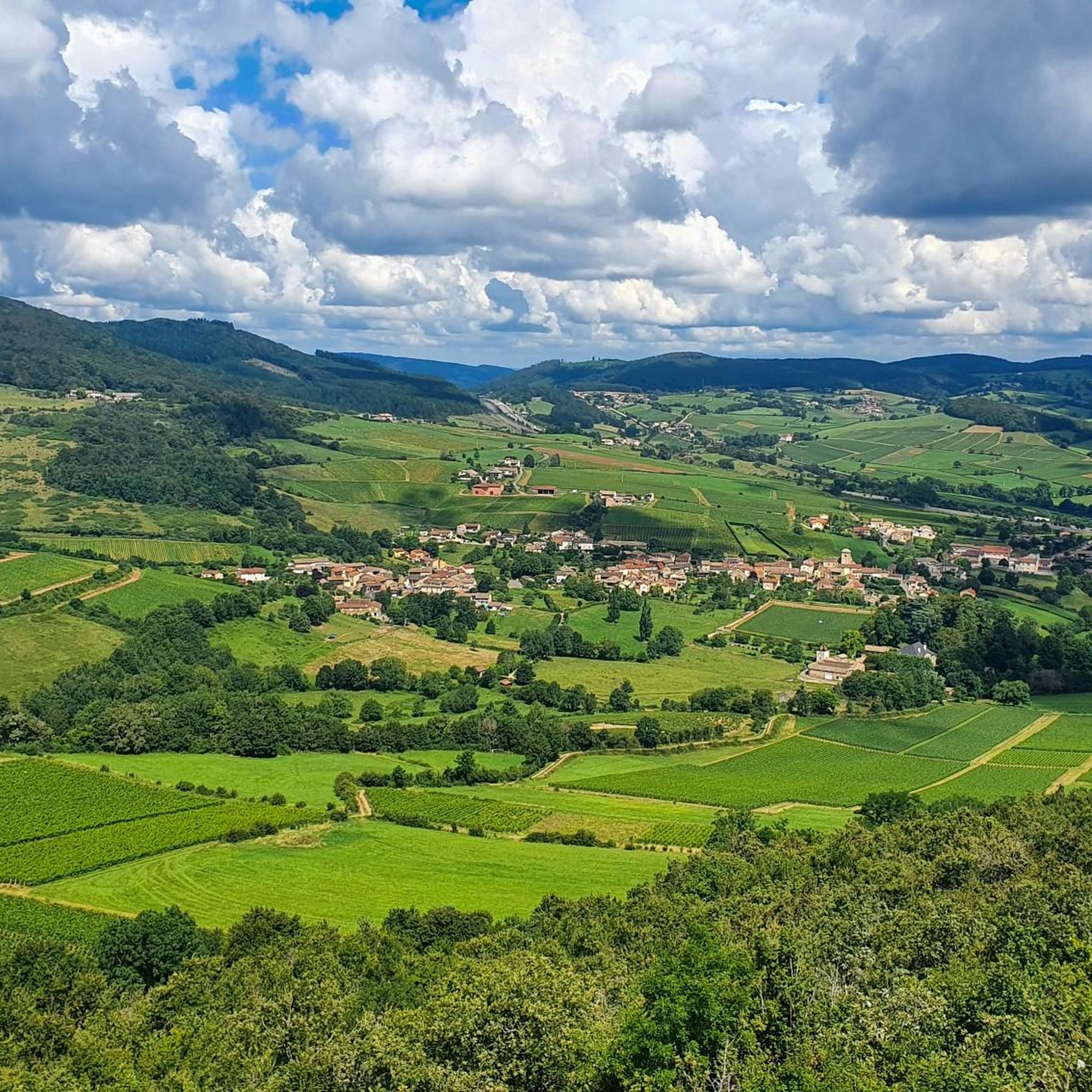
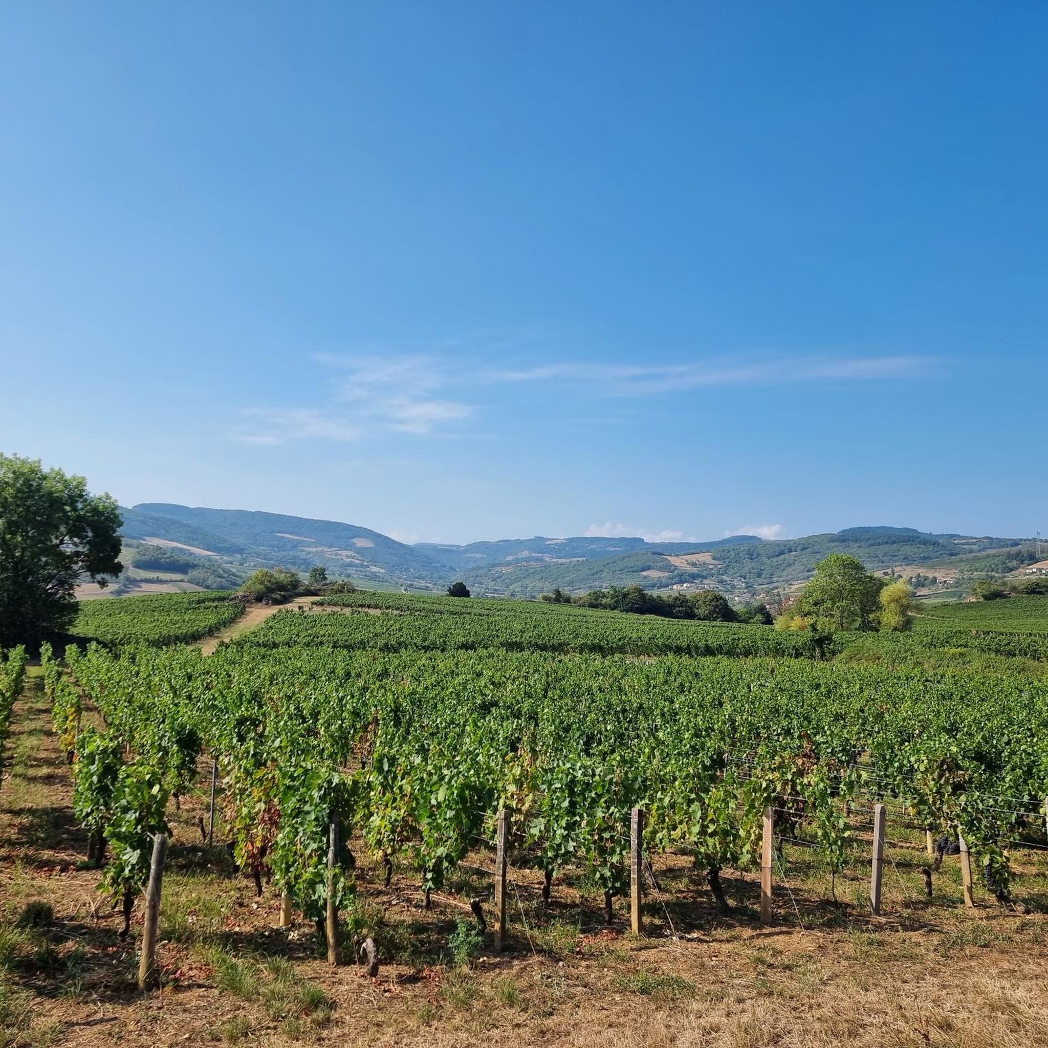
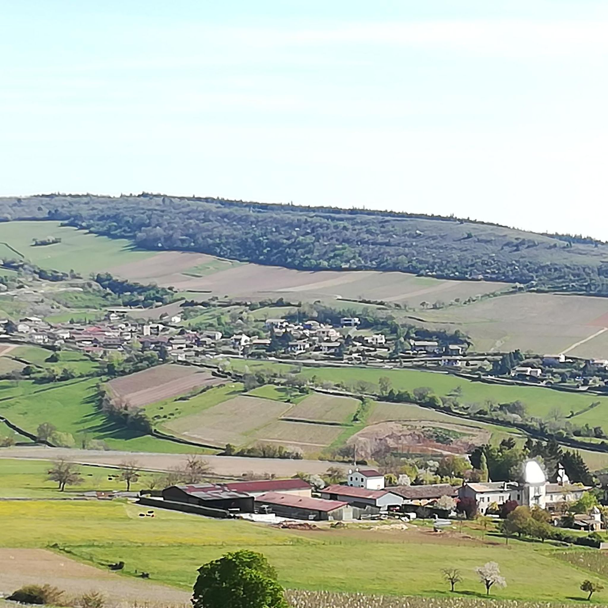
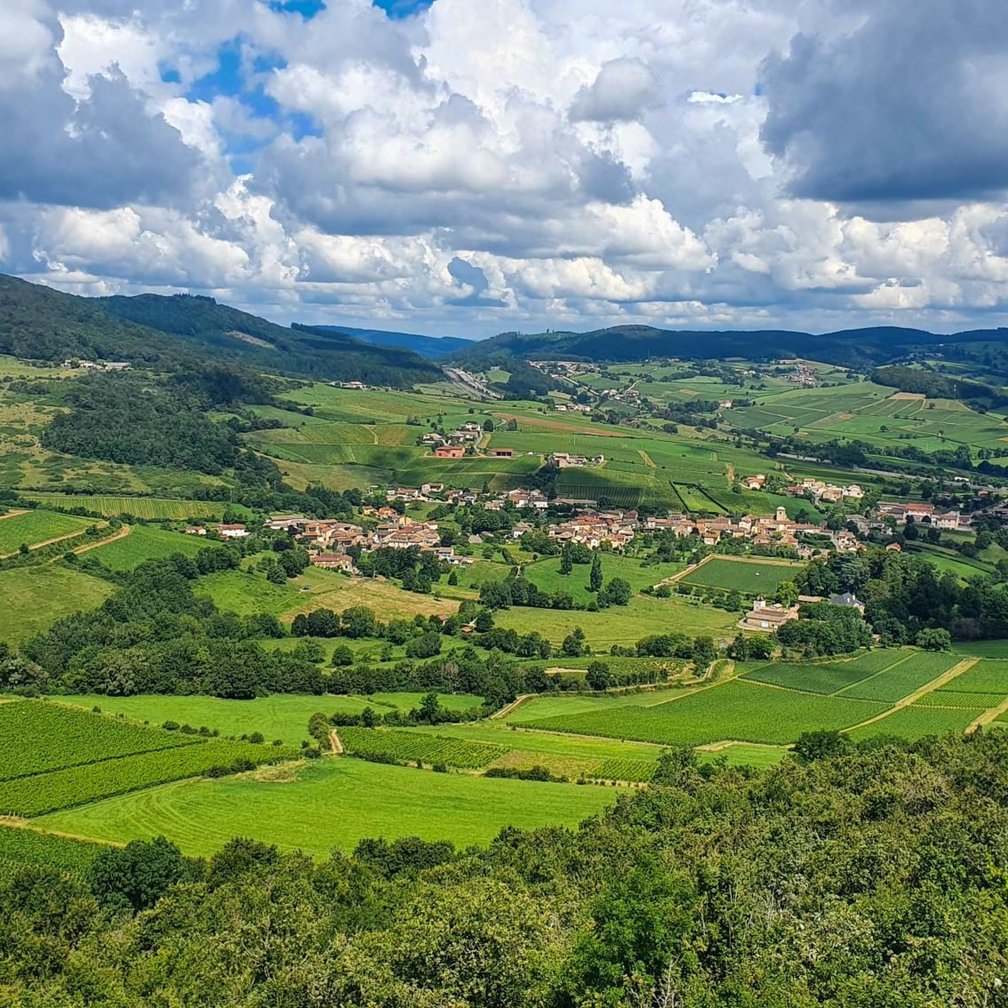
Gravel biking around Milly-Lamartine offers a network of trails through the varied landscapes of Southern Burgundy. The region is characterized by rolling hills, agricultural plains, and sections of dense woodland, providing diverse terrain for gravel cyclists. Many routes incorporate established greenways and quiet country roads, connecting historic sites and natural features. The elevation profiles of the trails indicate a mix of sustained climbs and descents, typical of a hilly environment.
Best gravel bike trails around Milly-Lamartine
- The most popular gravel…
Last updated: July 16, 2026
3.3
(3)
75
riders
99.0km
07:59
2,010m
2,010m
Hard gravel ride. Very good fitness required. Mostly paved surfaces. Suitable for all skill levels.
12
riders
70.7km
06:07
1,500m
1,500m
Hard gravel ride. Very good fitness required. Mostly paved surfaces. Suitable for all skill levels.

Sign up for free
3
riders
15.9km
01:21
360m
360m
Moderate gravel ride. Good fitness required. Mostly paved surfaces. Suitable for all skill levels.
5.0
(1)
4
riders
49.5km
03:52
1,050m
1,050m
Hard gravel ride. Very good fitness required. Mostly paved surfaces. Suitable for all skill levels.
4
riders
45.3km
03:18
670m
670m
Hard gravel ride. Very good fitness required. Mostly paved surfaces. Suitable for all skill levels.
Get access to more routes and recommendations from other explorers.
Sign up for free
Already have an account?
Our route recommendations are based on thousands of hikes, rides, and runs completed by other people on komoot.
Start today with a free account
Your next adventure awaits.
Login or Signup
Tips from the Community

The imposing Chateau can only be viewed from the outside.
1
0
The historic washhouse of Collonges (often also referred to as Lavoir de Cruzille), located in the French municipality of Cruzille in the Saône-et-Loire department in the Burgundy region. Such covered public wash places (French: Lavoir) were built in the 18th and 19th centuries in many French villages to make it easier for women to wash clothes. The building in the selected area has an open front with striking stone columns and a forelying fountain basin with a decorative pillar in the middle.
1
0
The historic church Église Saint-Pierre de Cruzille originally dates from the early 12th century and was built in the Romanesque style. Despite numerous renovations over the centuries, the church has retained its overall Romanesque character.
1
0
The Rock of Solutré is a world-famous, 493-meter-high limestone rock in the south of the Burgundy region. It is located amidst the picturesque vineyards of the municipality of Solutré-Pouilly. The region is officially designated as a Grand Site de France. The hike to the summit is easy to moderate and very doable for families. It takes about 1 hour for the entire loop (approx. 4 kilometers round trip). The elevation gain is around 100 to 140 meters from the official parking lot on well-maintained paths with information panels, although there are many steps.
1
0
The caves were already used by humans and animals around 250,000 years ago. It is mainly known for the huge number of found bones of cave bears and cave lions. Visitors can explore a prehistoric cave full of bone finds as well as a second cave with an impressive underground river. Right on site, there is an archaeological museum that displays the finds.
1
0
Although the pass is located in France and is not extremely high, its name translates to "Siberia Pass". The name goes back to the often very cold, snow-rich winds and the harsh weather conditions in winter.
1
0
The Voie Verte (Green Way) is a former, paved railway line. At the starting point in Charnay-lès-Mâcon is the Vélo-Gare du Mâconnais - a former train station, which today serves as a tourist office and bicycle rental.
1
0
The Col de Gerbet (612 m) is an idyllic mountain pass in the French wine-growing region of Beaujolais. Depending on the starting point, various roads with little traffic lead up to the pass via the D137. From Juliénas (south-east approach): This route is 7.3 kilometers long. It overcomes 342 meters of altitude with a steady, moderate gradient of 4.7% on average. The road winds through shady forest sections. From La Croix Blanche (west approach): A tougher variant 4.5 kilometers long. Here you conquer 270 meters of altitude with an average gradient of 6% and ramps of up to 11%.
1
0
Frequently Asked Questions
How many gravel bike trails are there to explore in Milly-Lamartine?
Milly-Lamartine offers a selection of 12 gravel bike trails. These routes cater to various skill levels, with a focus on more challenging rides through the region's diverse terrain.
Are there any easy or family-friendly gravel bike routes in Milly-Lamartine?
While most routes in Milly-Lamartine are rated as difficult, there are a couple of moderate options suitable for those seeking a less strenuous ride. The Cluny – Cluny Abbey loop from Cluny is a moderate 9.9-mile (15.9 km) path that explores the area around Cluny, offering a good choice for families or beginners.
What are some challenging gravel bike trails for experienced riders?
For experienced gravel bikers, Milly-Lamartine offers several demanding routes. The Pistole Pass – Brancion loop from Igé is a difficult 29.2-mile (46.9 km) trail with significant elevation gain. Another challenging option is the Col de Gerbet – Col de la Grange du Bois loop from Sologny, covering 30.2 miles (48.6 km) through hilly landscapes.
What kind of terrain can I expect on the gravel bike trails around Milly-Lamartine?
The gravel bike trails in Milly-Lamartine are characterized by rolling hills, agricultural plains, and dense woodland sections. You'll encounter a mix of quiet country roads, established greenways, and gravel paths, with elevation profiles indicating sustained climbs and descents typical of a hilly environment.
Are there any notable landmarks or attractions along the gravel routes?
Yes, the region is rich in points of interest. You can cycle past natural monuments like the impressive Roche de Solutré and Vergisson Rock. Historic sites include the charming settlement of Cluny and the Medieval fortress of Berzé-le-Châtel. Some routes also pass through or near the Tunnel du bois clair.
What is the best time of year to go gravel biking in Milly-Lamartine?
The best time for gravel biking in Milly-Lamartine is generally from spring through autumn (April to October). During these months, the weather is typically mild and pleasant, making for ideal riding conditions. Summer can be warm, but the shaded woodland sections offer some respite. Winter riding is possible but can be cold and wet, with some trails potentially becoming muddy.
Are there any circular gravel bike routes available?
Many of the gravel bike routes in Milly-Lamartine are designed as loops, allowing you to start and finish in the same location. For example, the Col de Gerbet – Col de la Grange du Bois loop from Mâcon-Loché-TGV is a popular circular trail covering 30.8 miles (49.5 km).
What do other gravel bikers say about the trails in Milly-Lamartine?
The gravel biking routes in Milly-Lamartine are highly rated by the komoot community, with an average score of 3.7 stars. Reviewers often praise the varied countryside, the mix of quiet roads and greenways, and the challenging yet rewarding climbs.
Are there options for longer, multi-hour gravel bike adventures?
Absolutely. For those seeking a longer adventure, the Cluny – Voie verte of Southern Burgundy loop from Mâcon is a substantial 99.1-mile (159.5 km) trail. This difficult route typically takes over 8 hours to complete, offering a full day of immersive gravel biking through varied landscapes.
Where can I find parking near the gravel bike trails?
Many of the routes start from towns or villages like Mâcon, Cluny, or Igé, where public parking is generally available. It's advisable to check local parking options for your chosen starting point before your ride, especially in smaller villages.
Are there places to stop for refreshments or food along the routes?
The routes often pass through or near charming villages and towns in Southern Burgundy. These settlements, such as Cluny or Tramayes, typically offer cafes, bakeries, and restaurants where you can refuel. Planning your stops in advance based on your chosen route is recommended.
Most popular routes around Milly-Lamartine
Most popular attractions around Milly-Lamartine

Get inspired with the komoot mobile app


Explore more
Browse the best Gravel rides in other regions.
