The best gravel rides around Agnières
4.5
(14)
129
riders
18
rides
Gravel biking around Agnières offers a variety of routes across diverse landscapes, characterized by a mix of flat riverbanks, agricultural fields, and gently rolling hills. The region also presents mountainous terrain with significant elevation changes, including forest tracks and valleys. These areas provide opportunities for both longer distance rides and shorter, more accessible loops, catering to varied preferences.
Best gravel bike trails around Agnières
- The most popular gravel bike trail is Lac de Beugin – La Comté Waterfall loop from…
Last updated: July 3, 2026
4.7
(7)
36
riders
51.4km
03:13
180m
180m
Moderate gravel ride. Good fitness required. Mostly paved surfaces. Suitable for all skill levels.
4.0
(2)
18
riders
111km
06:21
560m
560m
Hard gravel ride. Very good fitness required. Mostly paved surfaces. Suitable for all skill levels.

Sign up for free
4.0
(1)
8
riders
68.5km
04:16
600m
600m
Hard gravel ride. Very good fitness required. You may need to push your bike for some segments of this route.
6
riders
102km
06:55
910m
910m
Hard gravel ride. Very good fitness required. Mostly paved surfaces. Suitable for all skill levels.
8
riders
84.4km
05:27
720m
720m
Hard gravel ride. Very good fitness required. Mostly paved surfaces. Suitable for all skill levels.
Get access to more routes and recommendations from other explorers.
Sign up for free
Already have an account?
Our route recommendations are based on thousands of hikes, rides, and runs completed by other people on komoot.
Start today with a free account
Your next adventure awaits.
Login or Signup



Tips from the Community


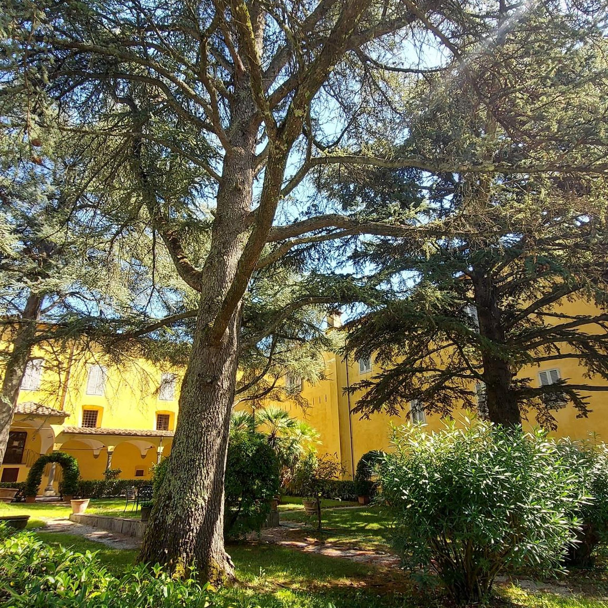
End of the trip at this villa in Vitry en Artois
0
0

The Maroeuil Marsh natural area offers a pleasant walk along the Scarpe River, with interesting flora and fauna. The signposting is illustrated by the small Vertigo de Des Moulins snail, which you can try to spot on the marsh plants.
0
0

The Nécropole nationale de Notre-Dame-de-Lorette is one of the largest and most impressive military cemeteries in France. Situated on a hill in Ablain-Saint-Nazaire, this cemetery contains the graves of more than 42,000 soldiers who died during the First World War. The cemetery was inaugurated in 1925 and includes a basilica, a tower-lantern and a museum.
7
0

The church dedicated to the Mother of God under the title "Notre-Dame de Lorette" rises in brilliant white and is visible from far away. But the brilliant impression is deceptive, at the latest when the visitor to the site realizes that they are in a huge military cemetery. Around 20,000 individual graves and a further 23,000 victims of war and tyranny buried in ossuaries are deeply disturbing.
3
0

You absolutely have to see it. The climb is worth it ;-)
0
0
Frequently Asked Questions
How many gravel bike trails are there in Agnières?
Agnières offers a good selection of gravel bike trails, with 13 routes available. These range from moderate to difficult, providing options for various skill levels.
Are there any easy gravel bike routes for beginners in Agnières?
While many routes in Agnières are rated moderate to difficult, the region's terrain includes flat riverbanks and gently rolling hills that can be suitable for less experienced riders. For a moderate option, consider the Parc de la Bassure – Citadel Paths of Arras loop from Duisans, which is 24.7 km long with 158m of elevation gain.
What are some challenging long-distance gravel trails near Agnières?
For experienced gravel bikers seeking a challenge, Agnières offers several demanding routes. The Marais de la Galance – Canal de la Deûle loop from Savy-Berlette is a difficult 116.6 km trail with over 570m of elevation gain. Another long and difficult option is the View of Olhain – Extra for a break loop from Marœuil, covering 102.5 km with over 900m of ascent.
Are there any family-friendly gravel cycling options in Agnières?
While the region is known for its mountainous terrain and challenging routes, the presence of flat riverbanks and agricultural fields means there are sections suitable for families. Look for shorter, less elevated loops, such as the Parc de la Bassure – Citadel Paths of Arras loop from Duisans, which is a moderate 24.7 km ride.
What kind of landscapes can I expect on gravel bike trails in Agnières?
Gravel biking around Agnières offers diverse landscapes, from flat riverbanks and agricultural fields to gently rolling hills and more significant ascents into mountainous terrain. The broader Hautes-Alpes region features dramatic mountain scenery, including iconic cols and high-mountain environments.
What do other gravel bikers enjoy most about gravel biking in Agnières?
The gravel biking routes in Agnières are highly rated by the komoot community, with an average score of 4.25 stars from over 5 reviews. Over 75 gravel bikers have explored the varied terrain, often praising the mix of riverbanks, open fields, and moderate ascents that define the area's network of trails.
Are there any circular gravel bike routes available in Agnières?
Yes, many of the gravel bike trails in Agnières are designed as loops. Examples include the challenging Lac de Beugin – La Comté Waterfall loop from Marœuil (68.5 km) and the moderate Scarpe riverbanks – The Scarpe by bike loop from Marœuil (49.3 km).
What natural attractions or landmarks can I see near the gravel bike trails?
While specific attractions directly on the gravel routes are not detailed, the wider Agnières region, situated in the Hautes-Alpes, boasts impressive natural features. These include the dramatic Marais de Maroeuil, and historical sites like The Caucourt Ford and Watermill. The region is also close to the stunning Cirque d'Archiane and the vast Ecrins National Park.
When is the best time of year for gravel biking in Agnières?
Agnières, being in a mountainous region, offers distinct seasons. Spring and autumn are generally ideal for gravel biking, with pleasant temperatures and vibrant landscapes. Summer can be warm, especially at lower elevations, while winter conditions can bring snow and ice, making many trails challenging or inaccessible, particularly at higher altitudes.
What kind of terrain should I expect on the gravel trails around Agnières?
The gravel trails around Agnières feature a diverse mix of terrain. You'll encounter flat sections along riverbanks, agricultural fields, and gently rolling hills. As you venture further, the routes often include moderate to significant ascents, characteristic of the mountainous Hautes-Alpes region, with some technical passages possible.
Are there any routes that pass by waterfalls or scenic viewpoints?
While specific waterfalls on the routes are not detailed, the Lac de Beugin – La Comté Waterfall loop from Marœuil suggests proximity to a waterfall. The region is known for its dramatic mountainous beauty, with passes like Col du Festre offering beautiful panoramas over the Dévoluy plateau, providing ample scenic viewpoints.
What are the typical elevation gains on gravel routes in Agnières?
Elevation gains vary significantly depending on the route's difficulty. Moderate trails might have around 150-300 meters of ascent, such as the Scarpe riverbanks – The Scarpe by bike loop from Marœuil with 285m. More difficult routes can feature substantial climbs, with some exceeding 500 meters, like the Marais de la Galance – Canal de la Deûle loop from Savy-Berlette (571m), and even over 900 meters on routes like the View of Olhain – Extra for a break loop from Marœuil.
Most popular attractions around Agnières

Get inspired with the komoot mobile app


Explore more
Browse the best Gravel rides in other regions.
