The best gravel rides around Altier
5.0
(3)
26
riders
10
rides
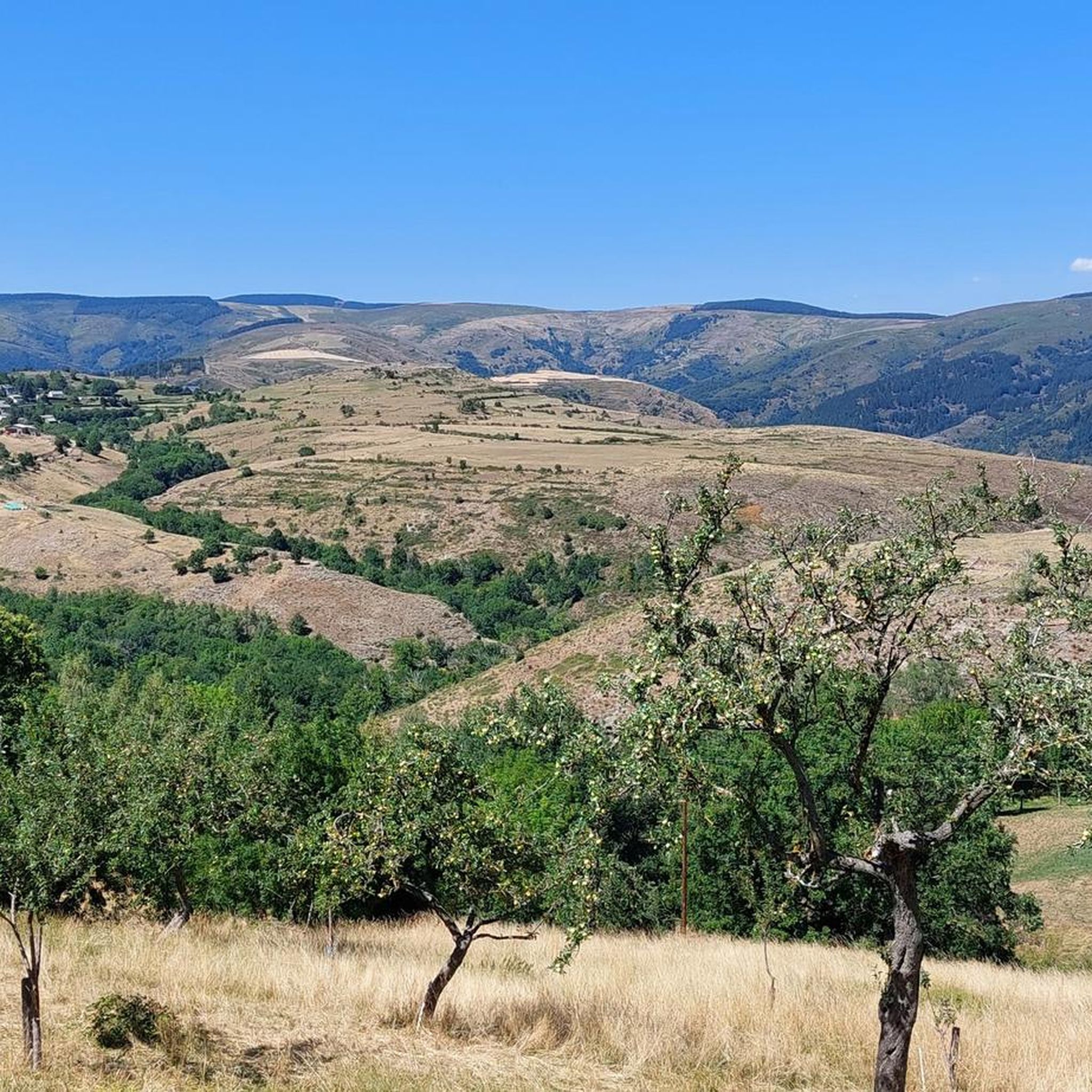
Gravel biking around Altier, situated in the Lozère department of France, offers routes through the varied landscapes of the Cévennes National Park. The terrain is characterized by mountainous regions, deep valleys, and extensive woodlands, providing a challenging environment for cyclists. Riders can expect significant elevation changes and a mix of surfaces, including forest tracks and unpaved roads. The region's natural features include prominent ridges and river systems, shaping the demanding nature of the gravel bike trails.
Best gravel bike trails…
Last updated: October 19, 2026
4
riders
33.7km
02:38
720m
720m
Hard gravel ride. Very good fitness required. Mostly paved surfaces. Suitable for all skill levels.
4
riders
30.1km
03:02
890m
890m
Hard gravel ride. Very good fitness required. Mostly paved surfaces. Suitable for all skill levels.

3
riders
26.5km
01:52
450m
450m
Hard gravel ride. Very good fitness required. Mostly paved surfaces. Suitable for all skill levels.
3
riders
Hard gravel ride. Very good fitness required. Mostly paved surfaces. Suitable for all skill levels.
2
riders
49.3km
04:01
1,160m
1,160m
Hard gravel ride. Very good fitness required. Mostly paved surfaces. Suitable for all skill levels.
Get access to more routes and recommendations from other explorers.
Already have an account?
Our route recommendations are based on thousands of hikes, rides, and runs completed by other people on komoot.
Start today with a free account
Your next adventure awaits.
Tips from the Community

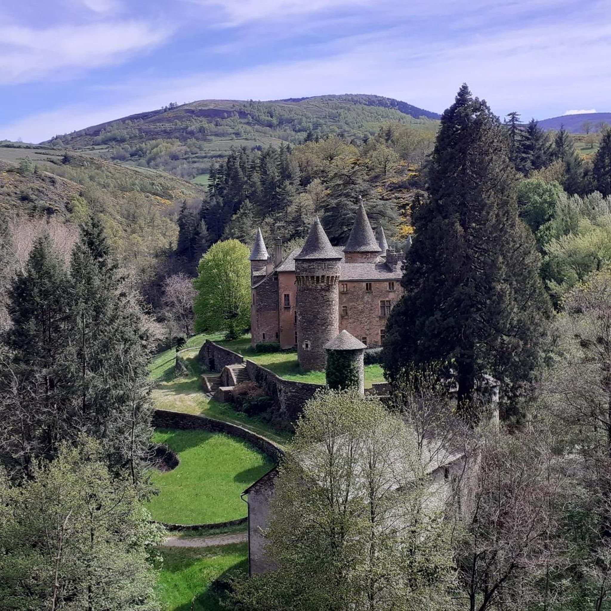
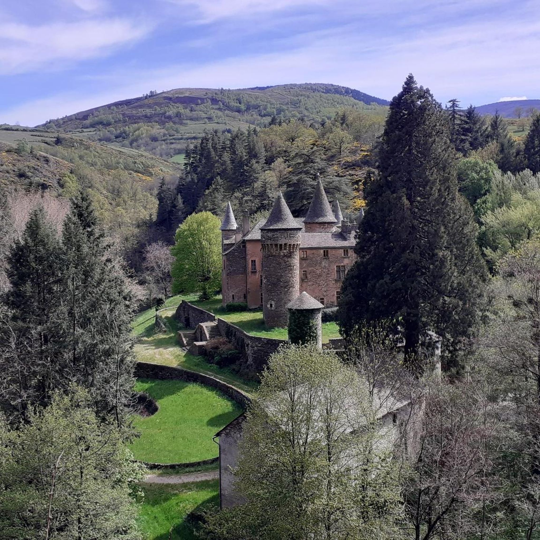
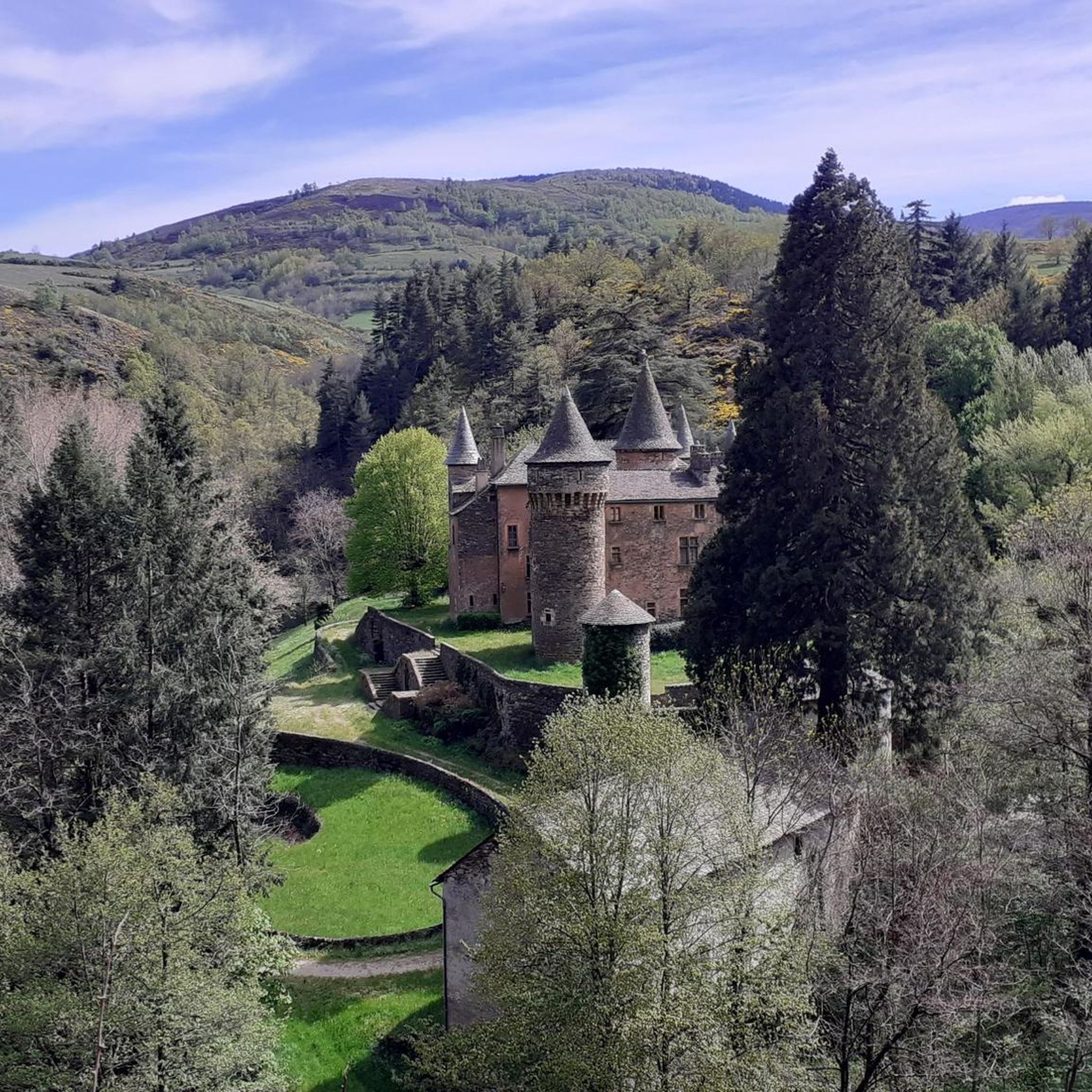
Great starting point for hikes: Pic Cassini, Pont du Tarn… The cottages are very pleasant.
0
0

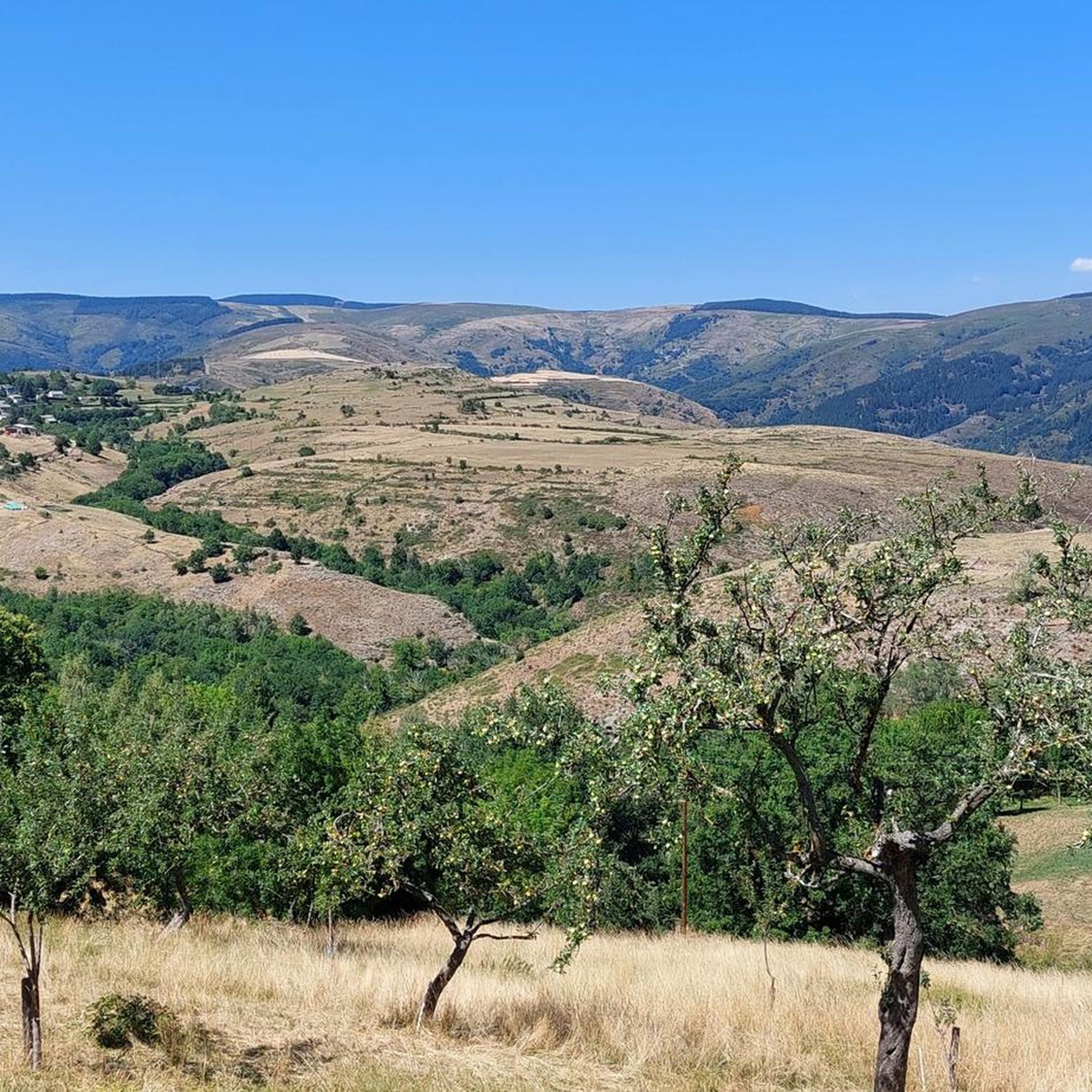
magnificent view. Moderate difficulty. Beware of high heat.
0
0

Interesting old bridge piers, small town, unfortunately nothing going on.
0
0
beautiful little church at the entrance to the village
0
0
Beautiful view of the castle ruins
0
0
Nice little town on the Lot, but it is also possible to drive directly into the town, descent and ascent included.
1
0
A small town on the Lot River, but few options. Everything was closed when I drove through. Unfortunately, there were no water sources to be found anywhere.
0
0
Frequently Asked Questions
What is the general terrain and difficulty for gravel biking around Altier?
Gravel biking around Altier is characterized by mountainous terrain, deep river valleys, and dense woodlands within the Cévennes National Park. The routes feature significant elevation changes and a mix of surfaces, including forest tracks and unpaved roads. All 11 routes listed in this guide are rated as difficult, offering a challenging experience for experienced riders.
Are there any family-friendly gravel bike routes in Altier?
The gravel bike routes around Altier are generally rated as difficult, featuring significant elevation gain and challenging terrain. This guide does not currently list any routes specifically categorized as easy or family-friendly. Riders should be prepared for demanding conditions.
Can I bring my dog on the gravel trails around Altier?
While the guide doesn't specify rules for dogs on individual trails, Altier is located within the Cévennes National Park. It's generally advisable to check the specific regulations of the National Park regarding pets on trails, especially concerning protected wildlife areas. Always keep dogs under control and respect local guidelines.
What kind of natural features and viewpoints can I expect to see on the gravel trails?
The region offers prominent ridges, deep river valleys, and extensive woodlands. You can expect panoramic views, especially from routes like the Lake Villefort – Goulet Ridge loop from Villefort and the Cubières – Goulet Ridge loop from Communauté de communes Mont Lozère. The area is shaped by the Manasquan River (if referring to Allaire State Park, but for Altier, France, it would be local rivers like the Altier River) and dense forests, providing picturesque scenery.
Are there any notable landmarks or attractions near the gravel biking routes?
Yes, there are several interesting points nearby. You could visit the Finiels Summit for expansive views, or explore the charming settlement of Le Pont-de-Montvert. The Lac de Villefort is also a significant natural feature in the area. For history enthusiasts, there are several castles, including the Tournel Castle.
What is the best time of year for gravel biking in Altier?
Given the mountainous terrain and dense woodlands, spring and autumn are generally ideal for gravel biking in Altier. These seasons offer vibrant foliage and more moderate temperatures, avoiding the heat of summer and potential snow or ice in winter, which could make the difficult trails even more challenging.
Are there any circular gravel bike routes available?
Yes, many of the routes around Altier are designed as loops. For example, you can enjoy the La Bastide-Puylaurent – Stroll on the Stevenson cheyde loop from Chabaleyret, which offers varied forest and open landscapes. Another option is the Bagnols-les-Bains – View of Château du Tournel loop from Le Bleymard.
What do other gravel bikers say about the trails in Altier?
The gravel biking routes in Altier are highly rated by the komoot community, with an average score of 5.0 stars from over 3 reviews. Riders often praise the challenging climbs, panoramic views, and the immersive experience of traversing the rugged terrain of the Cévennes National Park.
What are the typical distances and elevation gains for gravel routes in Altier?
The gravel routes around Altier vary in length, with options ranging from approximately 21 miles (34 km) to over 40 miles (64 km). Due to the mountainous region, you can expect significant elevation gains, typically ranging from around 700 meters to over 1400 meters of ascent per route.
Is parking available for cyclists near the gravel trails in Altier?
While specific parking locations for each trail are not detailed in this guide, Altier is a village within a national park. It is generally possible to find parking in or near the starting points of routes, such as in Villefort or Communauté de communes Mont Lozère, which are common starting points for these trails. Look for designated parking areas in these villages.
Are there any permits required for cycling in the Cévennes National Park around Altier?
Generally, permits are not required for cycling on established trails within French National Parks like the Cévennes, as long as you stick to marked paths and respect park regulations. However, it's always good practice to check the official Cévennes National Park website for any specific or updated rules, especially for certain protected zones or during particular seasons.
Can I access the gravel trails using public transport in Altier?
Public transport options in rural areas like Altier and the Cévennes National Park can be limited. While some larger towns might have train or bus connections, direct access to trailheads via public transport with a bike might be challenging. It's advisable to research local bus services or train lines that allow bike carriage to nearby towns like Villefort or La Bastide-Puylaurent, and plan accordingly for the final leg to the trailhead.
Most popular attractions around Altier

Get inspired with the komoot mobile app


Explore more
Browse the best Gravel rides in other regions.
