The best gravel rides around Marcilly
5.0
(1)
81
riders
11
rides
Gravel bike trails around Marcilly traverse varied landscapes, from river valleys and coastal areas to historical sites. The region features a mix of greenways, riverbanks, and paths leading past castles and natural areas. Terrain includes sections along the Sélune river, views towards Mont Saint-Michel Bay, and routes through areas with historical significance.
Best gravel bike trails around Marcilly
- The most popular gravel bike trail is Voie verte de la Véloscénie – Old railway station loop from Ducey-les-Chéris, a 39.8…
Last updated: July 3, 2026
26
riders
Moderate gravel ride. Good fitness required. Mostly paved surfaces. Suitable for all skill levels.
22
riders
Hard gravel ride. Very good fitness required. Mostly paved surfaces. Suitable for all skill levels.

Sign up for free
12
riders
Moderate gravel ride. Good fitness required. Mostly paved surfaces. Suitable for all skill levels.
5.0
(1)
7
riders
47.9km
02:58
520m
520m
Hard gravel ride. Very good fitness required. Mostly paved surfaces. Suitable for all skill levels.
7
riders
37.9km
01:59
270m
270m
Moderate gravel ride. Good fitness required. Mostly paved surfaces. Suitable for all skill levels.
Get access to more routes and recommendations from other explorers.
Sign up for free
Already have an account?
Our route recommendations are based on thousands of hikes, rides, and runs completed by other people on komoot.
Start today with a free account
Your next adventure awaits.
Login or Signup
Tips from the Community

Lovely route, first along the coast on good cycle paths, then after the large car park via all sorts of narrow roads and villages back to the campsite in Ceaux.
0
0

Parts of the route along the sea do not exist or are forbidden for bicycles
0
0

During very high tides, your wheels may be in the water.
0
0

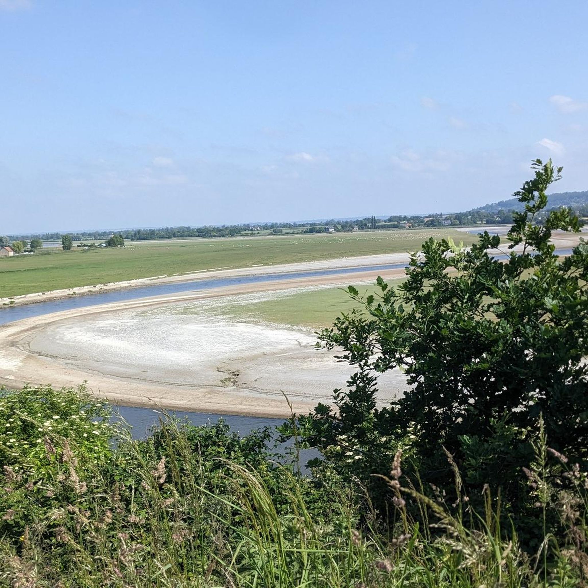
This greenway between Mont Saint-Michel and Pontorson alternates between magnificent stretches with unobstructed views and shaded sections with bucolic charm. Away from road traffic, this section reveals the unique calm of nature.
0
0

A beautiful picnic area with tables and benches among the trees on the banks of the Selen River. There are even restrooms. The area is very spacious.
1
0

beautiful avenue of weeping willows along the stream
0
0
beautiful avenue of mourning willows along the river
0
0

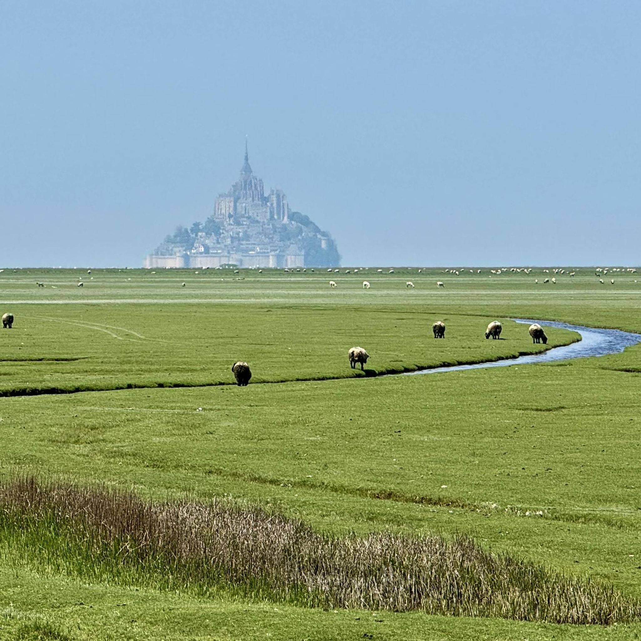
So peaceful. Soon you will be among the crowds visiting this iconic location but for now, it is just you and the moutons.
0
0
Frequently Asked Questions
How many gravel bike trails are available in the Marcilly region?
The Marcilly region offers a diverse network of over 15 gravel bike trails. These routes traverse varied landscapes, including river valleys, greenways, and paths leading past historical sites.
What is the typical difficulty level for gravel biking in Marcilly?
Gravel biking in Marcilly caters to a range of abilities. You'll find a good mix of routes, with 13 trails rated as moderate and 5 as difficult. This ensures options for both experienced riders and those looking for a challenging adventure.
Are there any long-distance gravel routes for extended rides?
Yes, for those seeking longer rides, Marcilly has several options. The View of Mont Saint-Michel – The Couesnon at Beauvoir loop from Saint-Laurent-de-Terregatte is a challenging 97.8 km route, while the Voie verte de la Véloscénie – Old railway station loop from Ducey-les-Chéris offers a moderate 64.1 km journey.
What kind of scenery can I expect on the gravel trails around Marcilly?
The trails around Marcilly offer a rich variety of scenery. You can expect river landscapes, particularly along the Sélune and Couesnon rivers, views towards the Mont Saint-Michel Bay, and routes through historical areas featuring castles and charming villages. The region also includes greenways and paths through natural areas.
What historical landmarks or attractions can I see along the gravel bike routes?
Many gravel routes in Marcilly pass by significant historical landmarks. You can cycle past the 17th-century Montgommery Castle, the historic Pontaubault Bridge, and even catch views of Château d'Avranches. The region also features unique troglodytic dwellings and ancient washhouses in areas like the Vallée de Courtineau.
Are there any gravel routes that offer views of Mont Saint-Michel?
Absolutely. The View of Mont Saint-Michel – The Couesnon at Beauvoir loop from Saint-Laurent-de-Terregatte is specifically designed to provide stunning views of Mont Saint-Michel and follows the scenic Couesnon river. Another route, View of Mont Saint-Michel Bay – Saint-Jean-le-Thomas Beach loop from Avranches, offers beautiful vistas of the bay.
What do other gravel bikers say about the trails in Marcilly?
The gravel trails in Marcilly are highly regarded by the komoot community, boasting an average rating of 4.8 stars from over 14 reviews. More than 200 gravel bikers have explored the region, often praising the varied terrain, scenic river sections, and the combination of natural beauty with historical points of interest.
Are there any circular gravel bike routes in Marcilly?
Yes, many of the gravel trails in Marcilly are designed as loops, making them convenient for starting and ending at the same point. Examples include the Voie verte de la Véloscénie – Old railway station loop from Ducey-les-Chéris and the Montgommery Castle – Voie verte de la Véloscénie loop from Ducey-les-Chéris.
What is the best time of year for gravel biking in Marcilly?
While specific conditions vary, the region's diverse landscapes, including riverbanks and greenways, are generally enjoyable during spring and autumn when temperatures are mild and the scenery is vibrant. Summer can also be pleasant, especially along shaded river sections. Winter riding is possible, but check local weather conditions for potential rain or colder temperatures.
Are there any routes that follow greenways or old railway lines?
Yes, several routes incorporate greenways, which often provide a consistent and enjoyable surface for gravel biking. The Voie verte de la Véloscénie – Old railway station loop from Ducey-les-Chéris is a prime example, following a greenway for much of its length. The Montgommery Castle – Voie verte de la Véloscénie loop from Ducey-les-Chéris also includes greenway sections.
Can I find gravel routes that explore the Sologne region near Marcilly-en-Villette?
If you're near Marcilly-en-Villette, you'll be close to the Sologne region, known for its nearly 3,000 ponds and forests. While much of Sologne is private, there are public spaces and marked trails around ponds like Étang du Puits and Étang de Beaumont that offer opportunities for nature observation and potentially gravel riding on suitable paths. These areas are rich in wildlife, including herons, cormorants, and deer.
Most popular attractions around Marcilly

Get inspired with the komoot mobile app


Explore more
Browse the best Gravel rides in other regions.
