The best gravel rides around Storckensohn
4.0
(14)
183
riders
11
rides
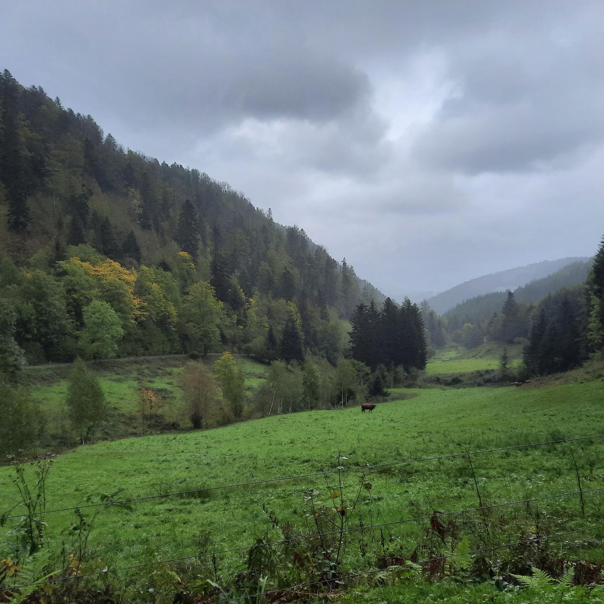
Gravel biking around Storckensohn is defined by its location within the Vosges Mountains foothills, offering diverse elevations from 450 meters to peaks reaching 1220 meters. The region features extensive forest cover, providing shaded trails and woodland paths suitable for gravel riding. Varied topography includes small valleys, challenging ascents, and unpaved paths, making it ideal for exploring the natural landscapes of the Regional Natural Park of Ballons des Vosges. Glacial lakes like Lac des Perches and Neuweiher Lake also offer scenic…
Last updated: July 16, 2026
3.0
(1)
25
riders
Hard gravel ride. Very good fitness required. Mostly paved surfaces. Suitable for all skill levels.
3.5
(2)
28
riders
34.4km
02:26
790m
790m
Hard gravel ride. Very good fitness required. Mostly paved surfaces. Suitable for all skill levels.

Sign up for free
6
riders
34.5km
02:27
790m
790m
Hard gravel ride. Very good fitness required. Mostly paved surfaces. Suitable for all skill levels.
11
riders
36.8km
02:55
1,020m
1,020m
Hard gravel ride. Very good fitness required. Mostly paved surfaces. Suitable for all skill levels.
12
riders
109km
08:04
2,810m
2,810m
Hard gravel ride. Very good fitness required. Mostly paved surfaces. Suitable for all skill levels.
Get access to more routes and recommendations from other explorers.
Sign up for free
Already have an account?
Our route recommendations are based on thousands of hikes, rides, and runs completed by other people on komoot.
Start today with a free account
Your next adventure awaits.
Login or Signup
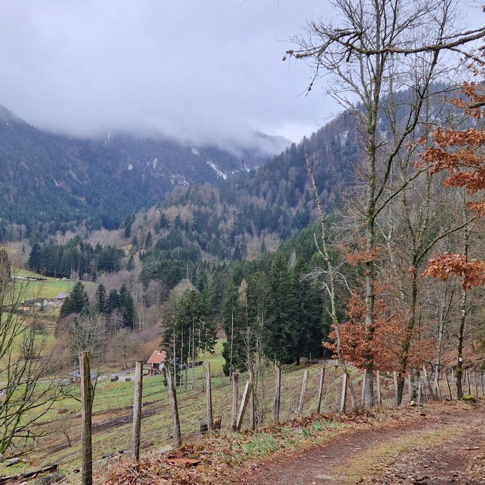
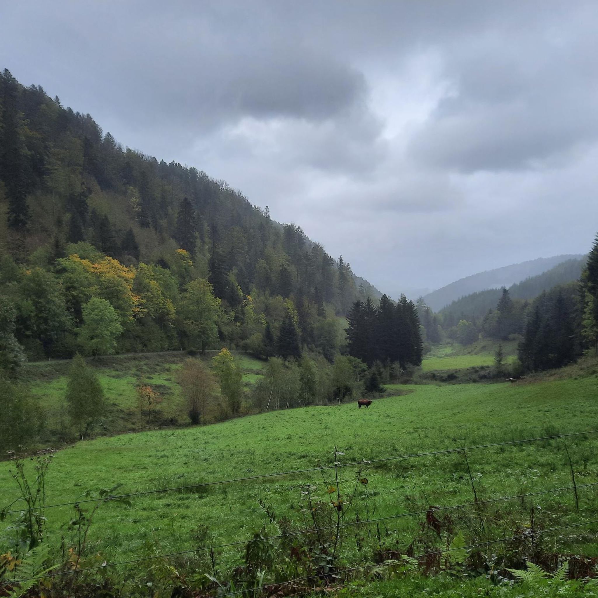
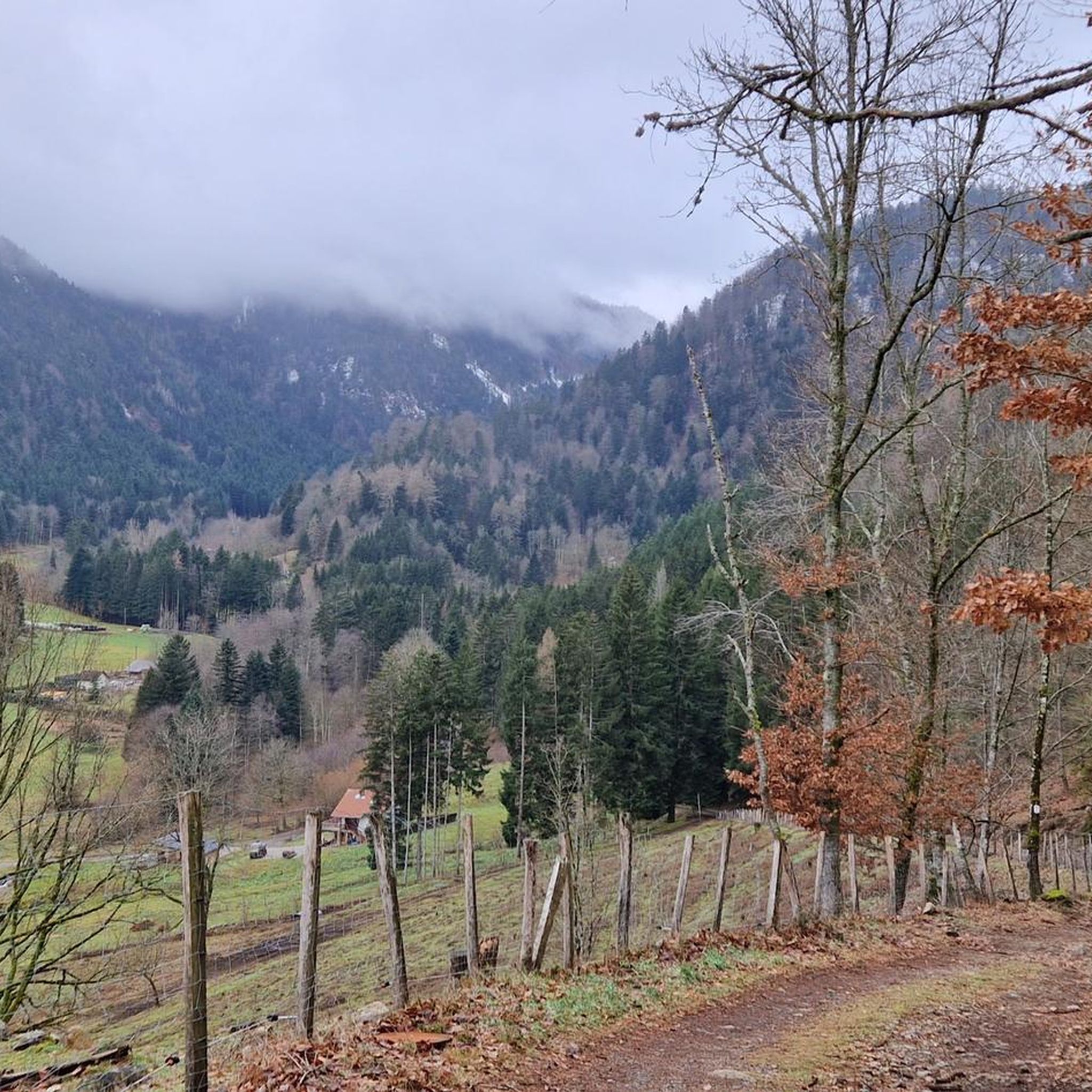
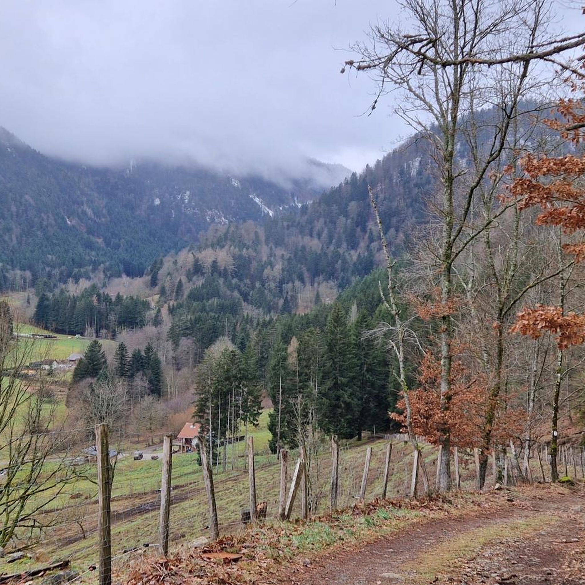

Tips from the Community

René Pottier was the first participant to cross a pass by bicycle. The first pass of the Tour de France was the Ballon d'Alsace.
0
0

This is the ideal place in Bussang to park your car and start a hike.
0
0

It's always so nice. Beautiful view on both sides, not much traffic that day.
0
0

Not to forget: WC and bicycle tools. At the Saint-Maurice-sur-Moselle station.
0
0


Lovingly nicknamed "the Autobahn" by me, it leads from Geishouse up to the Col du Haag, and is designed so that there is rarely a gradient over 10%. The Tour de France also rides up here 😬
0
0

Great bike path, best asphalt, steep ramps
0
0

At the pass, the paved Chemin Béry forest road leads to the Col de la Vierge after 2 km and Lac des Corbeaux after 4.5 km. Driving down from the pass towards La Bresse, after 1 km you will reach a fork in the road. Turn right onto the quiet D34 A departmental road, the Route des Américains, which climbs to the Vosges ridge road, the Route des Crêtes. There it joins the Col de Rothenbach with its striking summit. The Route des Américains is 5 km long and has an elevation gain of almost 280 meters.
0
0
Frequently Asked Questions
How many gravel bike trails are available around Storckensohn?
There are over 20 gravel bike trails documented on komoot around Storckensohn, all offering challenging rides through the Vosges Mountains foothills. These routes are highly rated by the komoot community, with an average score of 4.4 stars.
Are there any easy or beginner-friendly gravel bike trails in Storckensohn?
The gravel biking routes around Storckensohn are generally considered difficult, featuring significant elevation gains and challenging terrain suitable for experienced riders. Currently, there are no easy or moderate routes listed in this guide.
What kind of landscapes can I expect to see on these gravel bike routes?
You'll experience diverse landscapes, from the village's valley setting to higher peaks like the Tête des Perches. Routes often traverse extensive forest cover, offering shaded trails and picturesque woodland paths. You can also expect panoramic views from elevated areas such as the Rimbachkopf and Col des Perches, and potentially glimpses of nearby lakes like Lake Kruth-Wildenstein.
What are some of the longer gravel bike routes in the area?
Some of the longer routes include the Col des Croix – Ballon de Servance loop from Bussang, which spans about 80 kilometers, and the Col du Page Memorial (957 m) – Col du Bramont (Southwest) loop from Bussang, covering approximately 65 kilometers.
Are there any circular gravel bike routes around Storckensohn?
Yes, all the featured gravel bike routes in this guide are circular loops, designed to bring you back to your starting point. Examples include the Markstein – Grand Ballon loop from Geishouse and the Ballon d'Alsace – Rue du Ballon d'Alsace. loop from Fontaine Minerale.
What interesting places or landmarks can I see along the gravel bike trails?
Many routes offer views of significant natural features and mountain passes. You might pass by points like Markstein, Ballon d'Alsace, or Haag Pass. The area is also close to the Grand Ventron National Nature Reserve, offering diverse natural environments.
Is Storckensohn suitable for family-friendly gravel biking?
Given that all listed routes are categorized as difficult with significant elevation, Storckensohn's gravel trails are generally not recommended for families with young children or those seeking very easy, flat rides. The terrain is more suited for experienced gravel bikers.
What is the best time of year to go gravel biking in Storckensohn?
The Vosges Mountains region is best for gravel biking from spring through autumn. During these seasons, the weather is generally milder, and the trails are more accessible. Winter can bring snow and ice, making many routes impassable or significantly more challenging.
Are there opportunities for cafe stops or places to eat along the routes?
While specific cafe stops are not detailed for every route, many trails start or pass through villages like Storckensohn itself, where you might find local amenities. The village is known for its historical oil mill, which could be an interesting stop.
What do other gravel bikers enjoy most about Storckensohn?
The area is highly rated by the komoot community, with an average score of 4.4 stars from over 20 reviews. Riders often praise the challenging ascents, the diverse unpaved paths, and the scenic beauty of the Vosges Mountains foothills and extensive forest tracks.
Is public transport available to reach the gravel trailheads in Storckensohn?
Information regarding specific public transport links directly to gravel trailheads in Storckensohn is not readily available. It is generally advisable to plan for personal vehicle transport to reach the starting points of these routes.
Where can I find parking for gravel biking in Storckensohn?
As Storckensohn is a village, you can typically find parking within the village itself or at designated parking areas near popular trailheads. It's always a good idea to check local signage for parking regulations.
Most popular routes around Storckensohn
Most popular attractions around Storckensohn

Get inspired with the komoot mobile app


Explore more
Browse the best Gravel rides in other regions.
