The best gravel rides around Gaillon-Sur-Montcient
4.5
(61)
357
riders
53
rides
Gravel biking around Gaillon-Sur-Montcient offers routes through varied terrain, characterized by the presence of the Seine and Oise rivers, alongside forested areas. The region features a mix of riverbank paths, open fields, and sections within woodlands like the Hautil Forest. Elevation changes are generally moderate, with some routes including longer climbs spread across their length.
Best gravel bike trails around Gaillon-Sur-Montcient
- The most popular gravel bike trail is Arm of the Seine at Andresy – Seine River Locks and Dam…
Last updated: July 3, 2026
4.1
(8)
30
riders
Moderate gravel ride. Good fitness required. Mostly paved surfaces. Suitable for all skill levels.
4.5
(4)
17
riders
Hard gravel ride. Very good fitness required. Mostly paved surfaces. Suitable for all skill levels.

Sign up for free
4.7
(3)
9
riders
36.7km
02:19
120m
120m
Moderate gravel ride. Good fitness required. Mostly paved surfaces. Suitable for all skill levels.
5.0
(1)
15
riders
42.9km
02:43
480m
480m
Hard gravel ride. Very good fitness required. Mostly paved surfaces. Suitable for all skill levels.
5.0
(1)
9
riders
Easy gravel ride. Great for any fitness level. Mostly paved surfaces. Suitable for all skill levels.
Get access to more routes and recommendations from other explorers.
Sign up for free
Already have an account?
Our route recommendations are based on thousands of hikes, rides, and runs completed by other people on komoot.
Start today with a free account
Your next adventure awaits.
Login or Signup
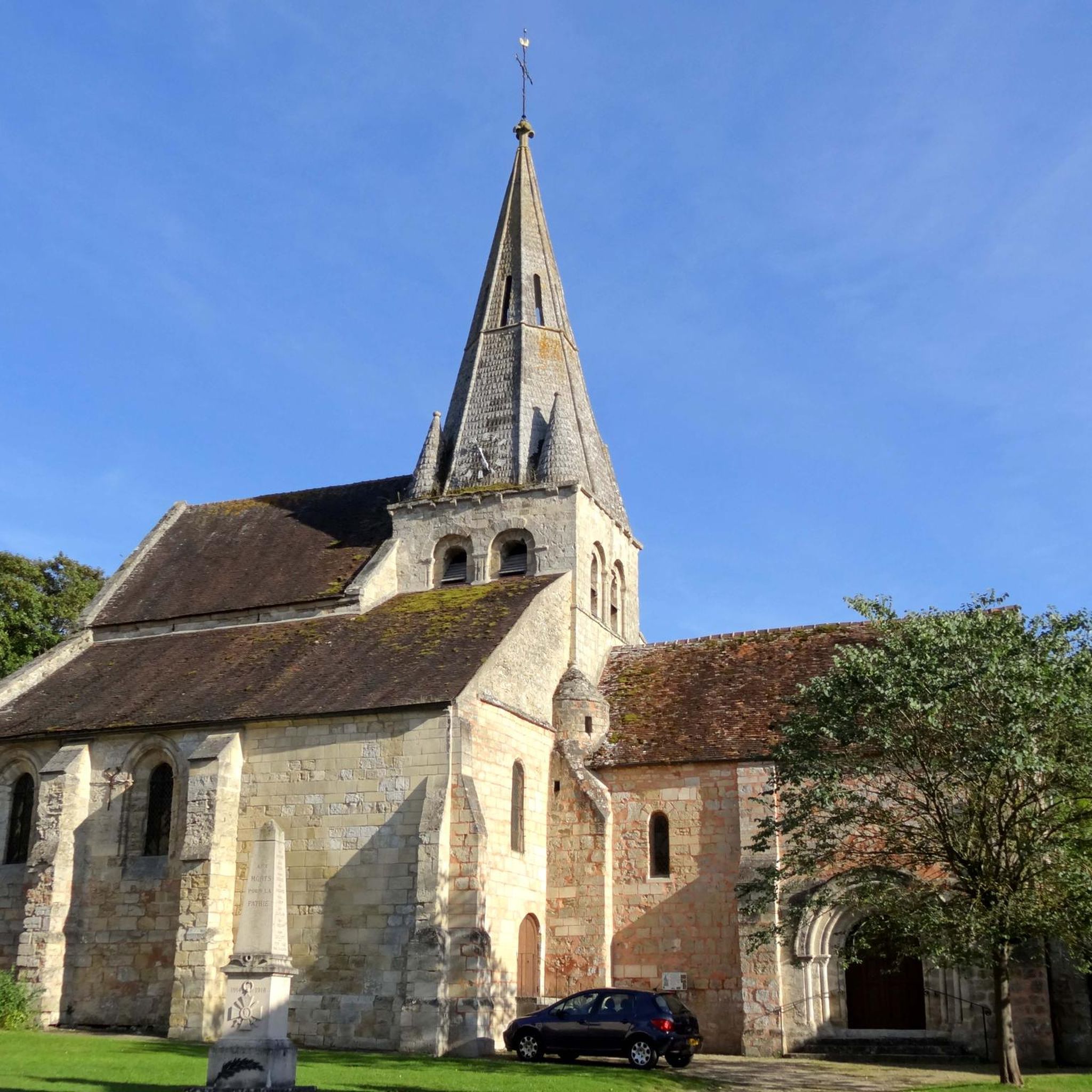

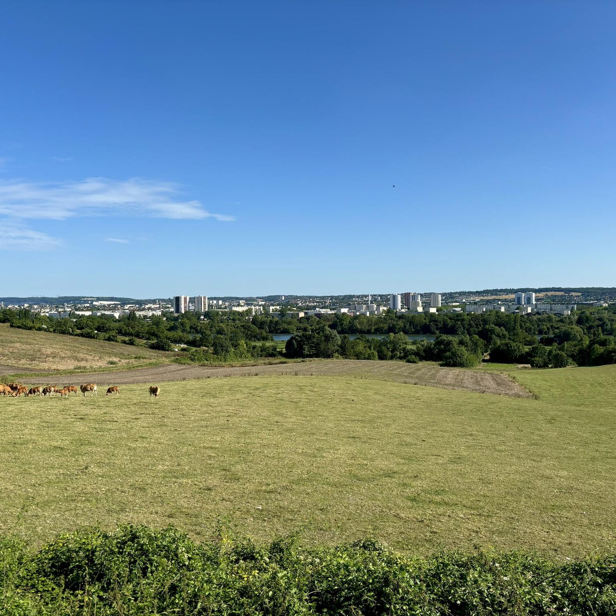

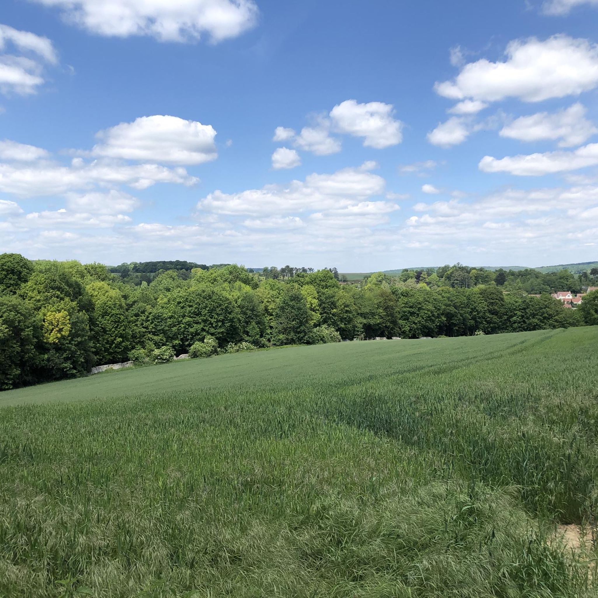
Tips from the Community

a short break for a drink with a beautiful view
0
0
the small bridge which joins Conflans to the forest of Saint Germain en Laye.
0
0
so nice in the morning with the mist on the water
0
0

Please note: if you want to park there to go hiking, the car park is currently only open from 2:00 p.m. on Sundays.
0
0

Lots of beautiful things to see in this part of Vexin
1
0

On the Seine à Vélo route in Les Mureaux, a quick stop for a drink or coffee. Open: Wednesday to Sunday from 12:15 p.m. to 2:00 p.m. and Friday and Saturday from 7:15 p.m. to 9:30 p.m.
0
0
Frequently Asked Questions
How many gravel bike trails are available in Gaillon-Sur-Montcient?
There are over 45 gravel bike trails around Gaillon-Sur-Montcient, offering a diverse range of options for different skill levels and preferences. These routes explore riverbanks, open fields, and forested areas.
Are there family-friendly gravel biking routes near Gaillon-Sur-Montcient?
Yes, the region offers 4 easy gravel bike routes suitable for families or those looking for a more relaxed ride. These trails typically feature moderate elevation changes and pleasant scenery. One such route is the Galiotte Pond – Old Poissy Bridge loop from Les Mureaux, which is 36.8 km long.
What are some good beginner gravel bike trails in the area?
For beginners, routes with moderate difficulty are a great starting point. The Arm of the Seine at Andresy – Seine River Locks and Dam loop from Les Mureaux is a popular choice, covering 71.2 km with moderate elevation, following the Seine river.
Are there challenging routes for experienced gravel bikers?
Absolutely. For experienced riders seeking a challenge, there are 16 difficult routes. The Villette Castle – Viewpoint overlooking the Oise loop from Meulan - Hardricourt is a demanding 84.7 km path with significant elevation gain, offering expansive views over the Oise river valley.
Can I find circular gravel bike routes around Gaillon-Sur-Montcient?
Many of the gravel bike routes in Gaillon-Sur-Montcient are designed as loops, allowing you to start and end at the same point. Examples include the Hautil Forest – Chaussée Jules César loop from Vernouillet Verneuil, a 49.8 km trail through the forest, and the Axe Majeur footbridge – Ètang de Cayennes loop from Vernouillet Verneuil.
What kind of views or landmarks can I expect along the trails?
The routes often feature scenic river views along the Seine and Oise, as well as passages through woodlands like the Hautil Forest. You can also discover nearby attractions such as the Orangery Garden of the Château de Menucourt, the Cergy-Pontoise Leisure Park, or the tranquil Étang de Gallardon.
What do other gravel bikers say about the routes in Gaillon-Sur-Montcient?
The gravel biking routes in Gaillon-Sur-Montcient are highly rated by the komoot community, with an average score of 4.7 stars from over 40 reviews. Riders often praise the varied terrain, the beautiful river scenery, and the well-maintained paths through forests and fields.
What is the best time of year for gravel biking in Gaillon-Sur-Montcient?
Spring and autumn are generally ideal for gravel biking in Gaillon-Sur-Montcient, offering pleasant temperatures and beautiful natural colors. Summer can also be enjoyable, especially on shaded forest trails, while winter rides are possible but may require more preparation for colder, potentially wetter conditions.
Are there any cafes or places to stop for refreshments along the routes?
While specific cafes are not listed for every route, many trails pass through or near villages and towns along the Seine and Oise rivers, where you can typically find local establishments for refreshments. Planning your route with komoot allows you to identify potential stops.
Where can I park when gravel biking in Gaillon-Sur-Montcient?
Many routes start from towns like Les Mureaux, Meulan-Hardricourt, or Vernouillet-Verneuil, which typically offer public parking facilities. It's advisable to check specific starting points on your chosen komoot tour for detailed parking information.
What are the typical lengths of gravel bike trails in this region?
The gravel bike trails around Gaillon-Sur-Montcient vary significantly in length. You can find shorter routes around 30-40 km, such as the Hautil Forest – Chaussée Jules César loop (49.8 km), up to longer excursions exceeding 80 km, like the challenging Villette Castle – Viewpoint overlooking the Oise loop (84.7 km).
Are there specific trails suitable for winter gravel biking?
While all trails are technically accessible in winter, routes that stick to paved or well-compacted gravel paths along the riverbanks might be more comfortable than muddy forest trails after heavy rain or snow. Always check local weather conditions and trail reports before heading out in winter.
Most popular routes around Gaillon-Sur-Montcient
Most popular attractions around Gaillon-Sur-Montcient

Get inspired with the komoot mobile app


Explore more
Browse the best Gravel rides in other regions.
