The best gravel rides around Saint-Amant-De-Nouère
4.6
(5)
30
riders
3
rides
Gravel biking around Saint-Amant-De-Nouère, located in the Charente department of New-Aquitaine, France, offers diverse terrain across its rolling countryside. The region features a network of paths, including unpaved "white paths," suitable for gravel cycling. Altitudes range from 62 to 130 meters, providing varied gradients without extreme climbs. The landscape includes open fields, agricultural lands, and proximity to the Charente River, offering a mix of natural environments for exploration.
Best gravel bike trails around Saint-Amant-De-Nouère
- The most popular gravel bike trail…
Last updated: July 16, 2026
6
riders
103km
07:43
810m
810m
Hard gravel ride. Very good fitness required. Mostly paved surfaces. Suitable for all skill levels.
3
riders
46.5km
03:25
350m
350m
Moderate gravel ride. Good fitness required. Mostly paved surfaces. Suitable for all skill levels.

Sign up for free
4
riders
44.6km
02:58
340m
340m
Moderate gravel ride. Good fitness required. Mostly paved surfaces. Suitable for all skill levels.
4.0
(1)
3
riders
59.1km
03:45
350m
360m
Moderate gravel ride. Good fitness required. Mostly paved surfaces. Suitable for all skill levels.
4.0
(1)
2
riders
Moderate gravel ride. Good fitness required. Mostly paved surfaces. Suitable for all skill levels.
Our route recommendations are based on thousands of hikes, rides, and runs completed by other people on komoot.
Start today with a free account
Your next adventure awaits.
Login or Signup



Tips from the Community

Very pleasant Charente riverside
0
0


Covered washhouse at the exit of St-Cybardeaux, dating from 1877. Rectangular with three sloping edges, two wash tables were installed there at the time, to allow for a more comfortable break.
0
0
Washhouse with two sloping stone curbstones. It is located along the road, 1.5 km from St-Cybardeaux, sheltered by trees. The washhouse's water comes from a small circular stone fountain, while the water flows on the other side under a bridge once crossed by the Petit Rouillac.
0
0

It's still very beautiful
0
0
Beautiful little town center
0
0

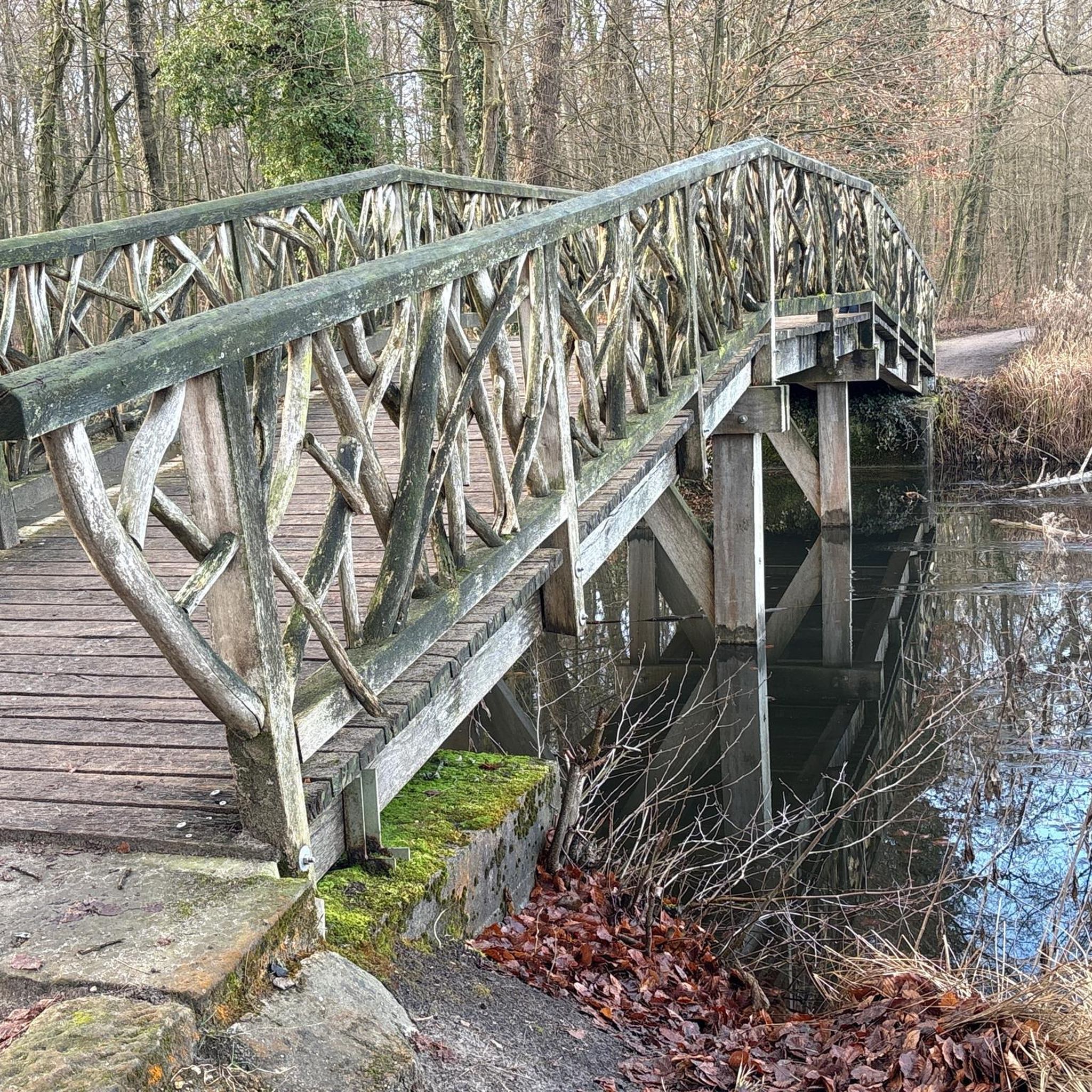
Beautiful view from the bridge over the Charente, the quays and the pier.
0
0
Frequently Asked Questions
What kind of terrain can I expect on gravel bike trails around Saint-Amant-De-Nouère?
The region features a mix of rolling countryside, open fields, and agricultural lands. You'll encounter a network of paths, including unpaved "white paths" ideal for gravel cycling, offering varied gradients without extreme climbs. Proximity to the Charente River also means some routes follow scenic riverside paths.
Are there gravel routes suitable for different skill levels?
Yes, the routes around Saint-Amant-De-Nouère cater to various abilities. You can find moderate trails like the View of Saint-Simeux – Along the Charente River loop from Champmillon, which is 43.8 km, or more challenging options such as the 102.5 km Font Arnaud Washhouse – Forest loop from Saint-Cybardeaux.
What are some notable historical landmarks I can visit while gravel biking?
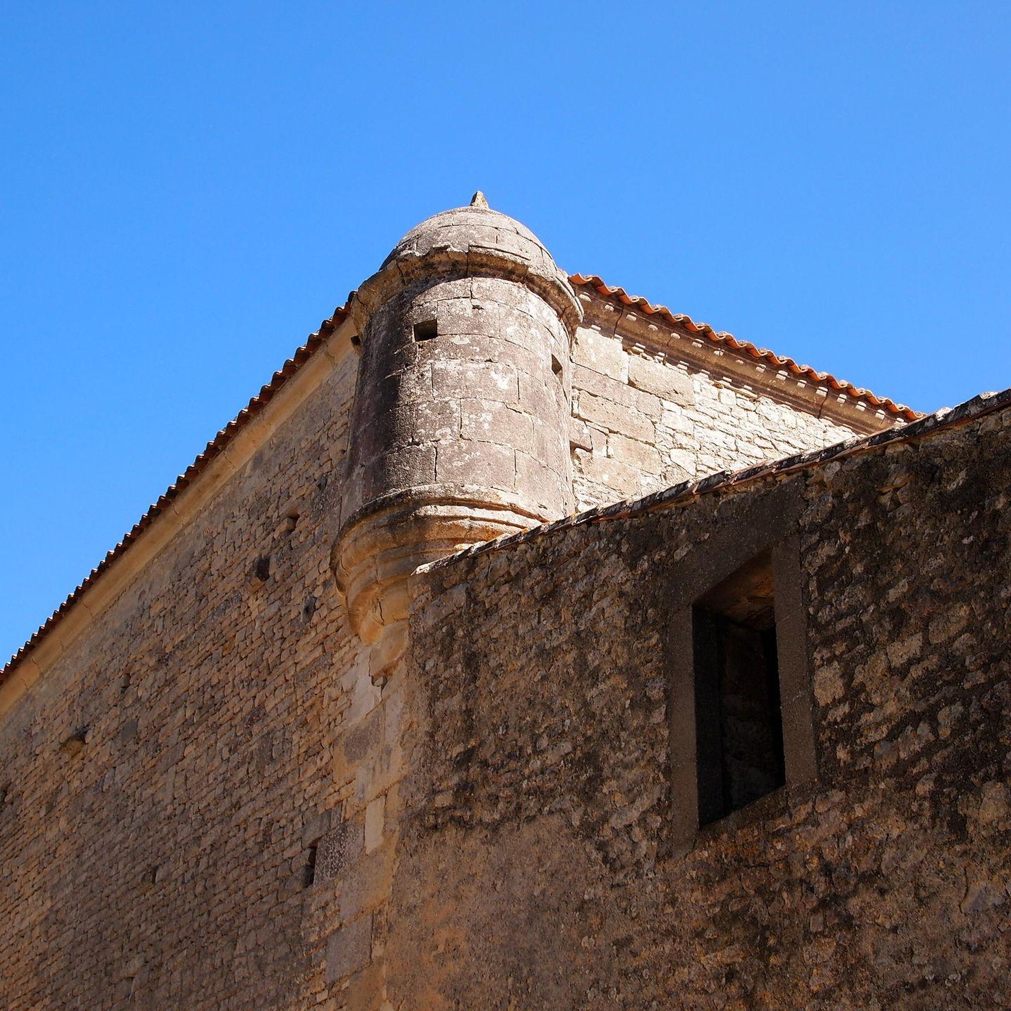
The area is rich in history. You can cycle to the 12th-century Romanesque Church of Notre-Dame de Trois-Palis, often accessible by white paths. The significant Abbaye de Bassac, with its courtyards and gardens, is another compelling destination. Other Romanesque churches like Saint-Vincent Church in Champmillon also dot the landscape.
Are there any circular gravel bike routes available?
Yes, many of the gravel routes in the area are loops, allowing you to start and finish in the same location. For example, the Gravel loop from Lautrait is a 46.6 km circular trail through the local countryside.
What is the best time of year for gravel biking in Saint-Amant-De-Nouère?
The Charente region generally offers pleasant conditions for cycling during spring, summer, and early autumn. These seasons provide comfortable temperatures and typically drier paths, making for an enjoyable experience on the white paths and rolling countryside.
What do other gravel bikers say about the trails in Saint-Amant-De-Nouère?
The gravel biking routes in Saint-Amant-De-Nouère are highly rated by the komoot community, with an average score of 4.6 stars from over 5 reviews. Riders often praise the varied terrain, scenic views along the Charente River, and the opportunity to explore historical sites.
Can I find routes that follow the Charente River?
Absolutely. The region's proximity to the Charente River means several routes incorporate riverside sections, offering picturesque views and a different natural element to explore. The View of Saint-Simeux – Along the Charente River loop from Champmillon is a great example of a route that follows the river.
What is the elevation like on these gravel trails?
The terrain around Saint-Amant-De-Nouère features rolling landscapes with altitudes ranging from 62m to 130m. This provides engaging, but generally not overly strenuous, climbs and descents, making for dynamic gravel rides without extreme elevation challenges.
Are there any specific natural features to look out for while cycling?
Beyond the rolling countryside and agricultural fields, the most prominent natural feature is the Charente River. Its banks often provide scenic paths and a tranquil environment. The area also features smaller woodlands and open spaces, offering diverse natural immersion.
Are there any family-friendly gravel biking options?
While specific 'family-friendly' routes are not explicitly detailed, the moderate difficulty routes and the generally rolling, non-extreme terrain suggest that some sections or shorter loops could be suitable for families with older children or those comfortable with moderate distances. Always check the route details for distance and elevation before heading out.
Where can I find parking for gravel biking routes?
Parking availability often depends on the specific starting point of your chosen route. Many routes begin in or near villages, where public parking may be available. It's advisable to check the route details on komoot for suggested starting points and any associated parking information.
Are there any cafes or pubs near the gravel trails for a break?
The villages and towns scattered throughout the Charente region, including those near the gravel routes, often have local cafes, bakeries, or small restaurants where you can stop for refreshments. Planning your route to pass through these villages can provide convenient break points.
Most popular routes around Saint-Amant-De-Nouère
Most popular attractions around Saint-Amant-De-Nouère

Get inspired with the komoot mobile app


Explore more
Browse the best Gravel rides in other regions.
