The best gravel rides around La Malhoure
5.0
(4)
29
riders
4
rides
Gravel biking around La Malhoure offers a diverse landscape characterized by hillsides, valleys, cultivated lands, meadows, and heathlands. This region in Brittany provides a mix of terrain suitable for gravel cyclists, from quiet country roads and farm tracks to more challenging routes. Riders can explore riverine environments, venture towards coastal paths, and traverse forested areas. The varied topography ensures a range of experiences for different skill levels.
Best gravel bike trails around La Malhoure
- The most popular gravel bike trail…
Last updated: July 2, 2026
5.0
(3)
10
riders
28.2km
01:50
190m
200m
Hard gravel ride. Good fitness required. You may need to push your bike for some segments of this route.
6
riders
78.7km
05:21
1,130m
1,130m
Hard gravel ride. Very good fitness required. Mostly paved surfaces. Suitable for all skill levels.

Sign up for free
5.0
(1)
6
riders
134km
08:27
1,540m
1,540m
Hard gravel ride. Very good fitness required. Mostly paved surfaces. Suitable for all skill levels.
Our route recommendations are based on thousands of hikes, rides, and runs completed by other people on komoot.
Start today with a free account
Your next adventure awaits.
Login or Signup

Tips from the Community

Beautiful stone fountain
0
0

Trébry is a small village nestled in a rolling, green landscape. It is best known for Mount Bel-Air, the highest point in the department, and its 360-degree panorama.
0
0
Perched atop Mount Bel-Air, the highest point in the Côtes-d'Armor region, the Notre-Dame du Mont-Carmel chapel watches over the valley. Its octagonal architecture and radiating aisles make it a unique place. The view from the summit alone is worth the climb.
2
0


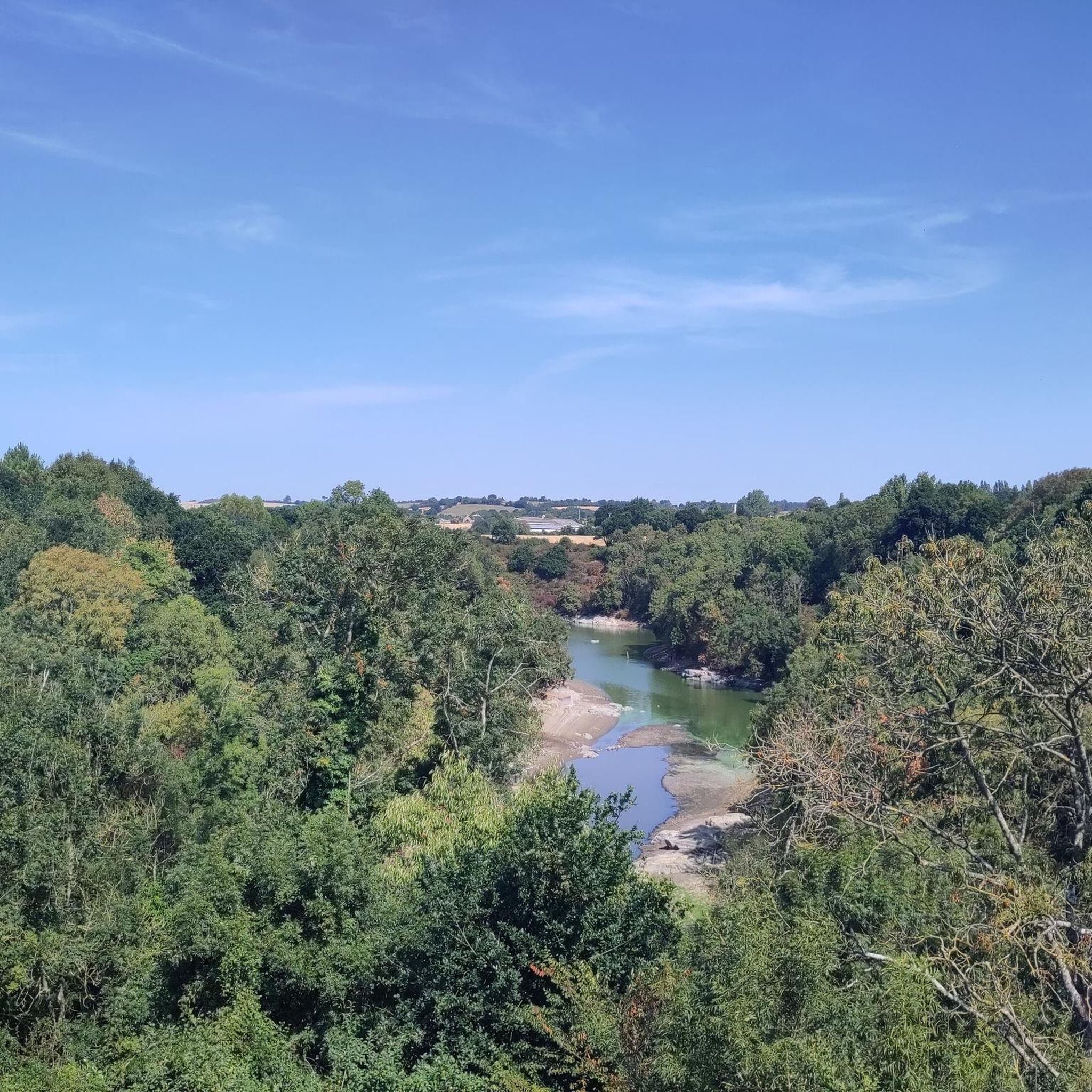
A very beautiful view of the pond next to Les Villes Hamelin.
0
0

Located at the summit of Mont Bel Air, the Notre-Dame du Mont-Carmel chapel (or Notre-Dame de Bel-Air) erected between 1855 and 1862, classified as a historic monument.
1
0
The climb to Mont Bel Air is not excessively difficult from Saint Gouéno and is done in stages, it is more distinguished by its length.
2
0

Mont Bel-Air is the highest point in the French department of Côtes-d'Armor, at 339 meters above sea level, in the commune of Trébry. At the top of Mont Bel-Air is the Notre-Dame du Mont-Carmel (or Notre-Dame de Bel-Air).
1
0
Frequently Asked Questions
What kind of terrain can I expect on gravel bike trails around La Malhoure?
The region around La Malhoure offers a diverse landscape ideal for gravel biking, featuring a mix of hillsides, valleys, cultivated lands, meadows, and heathlands. You'll find quiet country roads, farm tracks, and trails that traverse riverine environments, forested areas, and even coastal paths towards places like Cap Frehel. This varied topography ensures a range of experiences for different skill levels.
How many gravel biking routes are available in the La Malhoure area?
There are over 10 gravel biking routes available around La Malhoure, offering a variety of distances and difficulties. These routes are highly rated by the komoot community, with an average score of 5.0 stars from over 4 reviews.
Are there any challenging gravel bike routes for experienced riders?
Yes, for experienced riders seeking a challenge, the area offers several difficult routes. One notable option is the Douvenant Viaduct – Ponts-Neufs Viaduct loop from Lamballe, a demanding 50.9-mile (82.0 km) path that provides expansive views and passes by historic viaducts. Another difficult route is the Mount Bel-Air – Mont Bel-Air pass loop from Collinée, which covers 50.1 miles (80.6 km) through hilly landscapes.
What are some scenic viewpoints or landmarks I can visit along the gravel trails?
Many routes offer scenic views, especially those traversing hilly areas or near the coast. You can explore routes that pass by Mount Bel-Air, offering elevated perspectives of the surrounding countryside. The Douvenant Viaduct – Ponts-Neufs Viaduct loop from Lamballe also provides expansive views and passes by impressive historic viaducts.
Are there any family-friendly gravel biking options near La Malhoure?
While specific family-friendly routes are not detailed, the region's network of quiet country roads and farm tracks provides opportunities for more relaxed rides suitable for families. The Gouessant River Trail – Sorie Lamballe loop from Lamballe is a moderate 15.7-mile (25.3 km) route that follows the scenic Gouessant River, which could be a good option for families looking for a less strenuous ride.
Can I find routes that incorporate historical sites or charming towns?
Absolutely. The region allows you to combine cycling with cultural stops. The medieval town of Moncontour, known for its half-timbered houses, is just 11 km away and can be reached via rural roads. Other historical sites like the Haras National de Lamballe (National Stud) and Hunaudaye Castle are also within reach, serving as interesting destinations or waypoints on longer rides.
What is the best time of year for gravel biking in the Côtes-d'Armor region?
The diverse landscapes of Brittany, including the Côtes-d'Armor, are enjoyable throughout much of the year. Spring and autumn generally offer pleasant temperatures and beautiful scenery, with fewer crowds. Summer can also be great, especially for coastal routes, though it might be busier. Winter conditions can vary, so checking local weather forecasts is always recommended.
Are there any long-distance gravel biking loops available?
Yes, for those looking for longer rides, the area offers several extensive loops. The Lake Jugon – Floating bridge loop from Plestan is a challenging 78.2-mile (125.9 km) route, while the Mont Bel-Air pass – Mount Bel-Air loop from Bréhand covers 48.8 miles (78.6 km), both offering significant distances and elevation.
Where can I find parking for gravel bike trails near La Malhoure?
As La Malhoure is a rural commune, parking is generally available in or near the starting points of many routes, especially in nearby towns like Lamballe or Collinée, which serve as common access points for the trails. Look for designated parking areas in these towns or at local amenities.
What do other gravel bikers enjoy most about the routes around La Malhoure?
The area is highly rated by the komoot community, with an average score of 5.0 stars. Reviewers often praise the varied topography, the tranquility of the rural roads, and the opportunity to explore both inland forests and picturesque river valleys, as well as the proximity to stunning coastal areas.
Are there any routes that lead to coastal areas or beaches?
While La Malhoure is inland, the region's proximity to the coast means you can plan routes that extend towards the sea. Coastal areas like Cap Frehel (35km), the Baie de Saint-Brieuc (32km), and the Baie de Lancieux (36km) offer breathtaking views and opportunities for coastal gravel riding, potentially combining sections of road and more rugged tracks.
Most popular routes around La Malhoure
Most popular attractions around La Malhoure

Get inspired with the komoot mobile app


Explore more
Browse the best Gravel rides in other regions.
