The best gravel rides around Saint-Thibéry
4.1
(54)
341
riders
56
rides
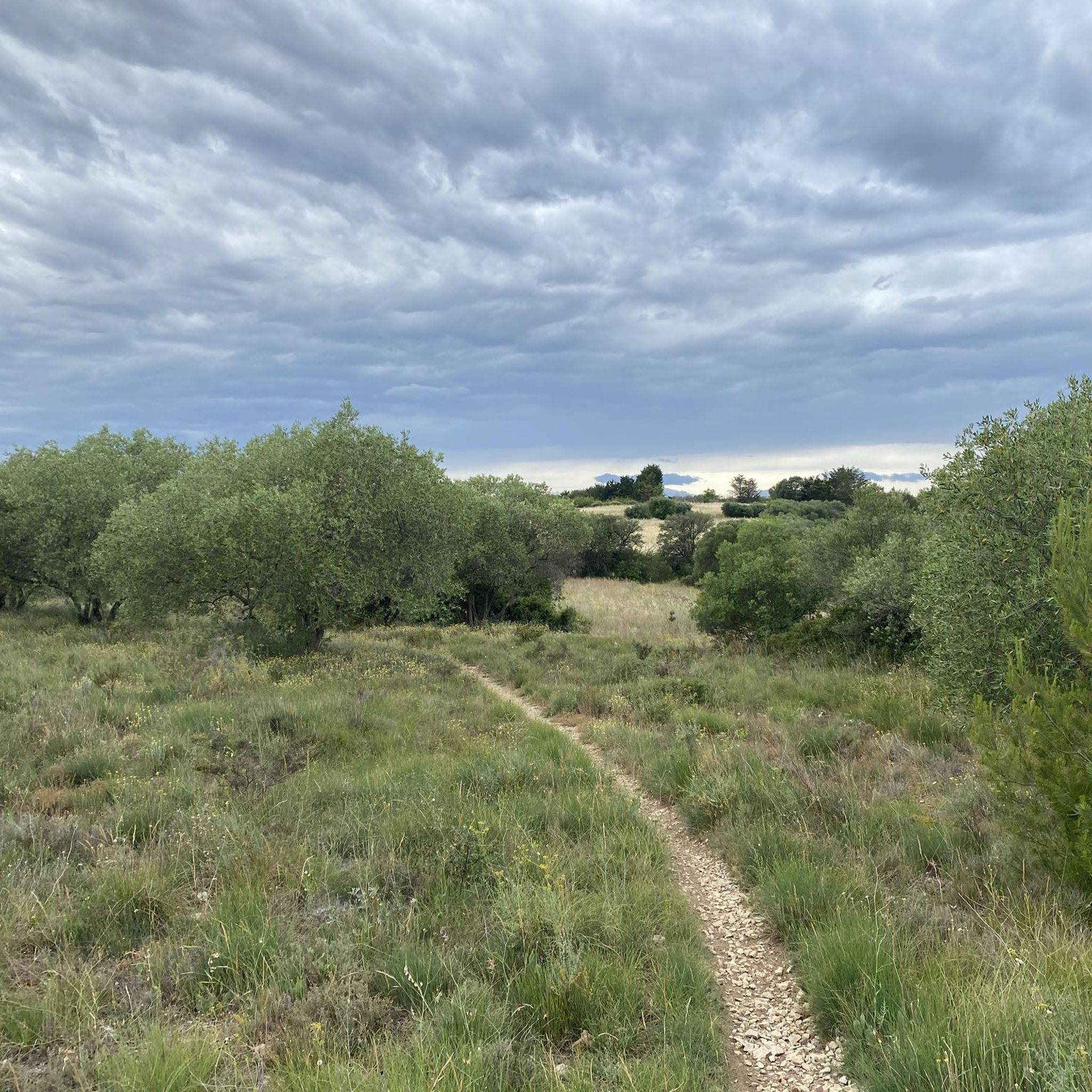
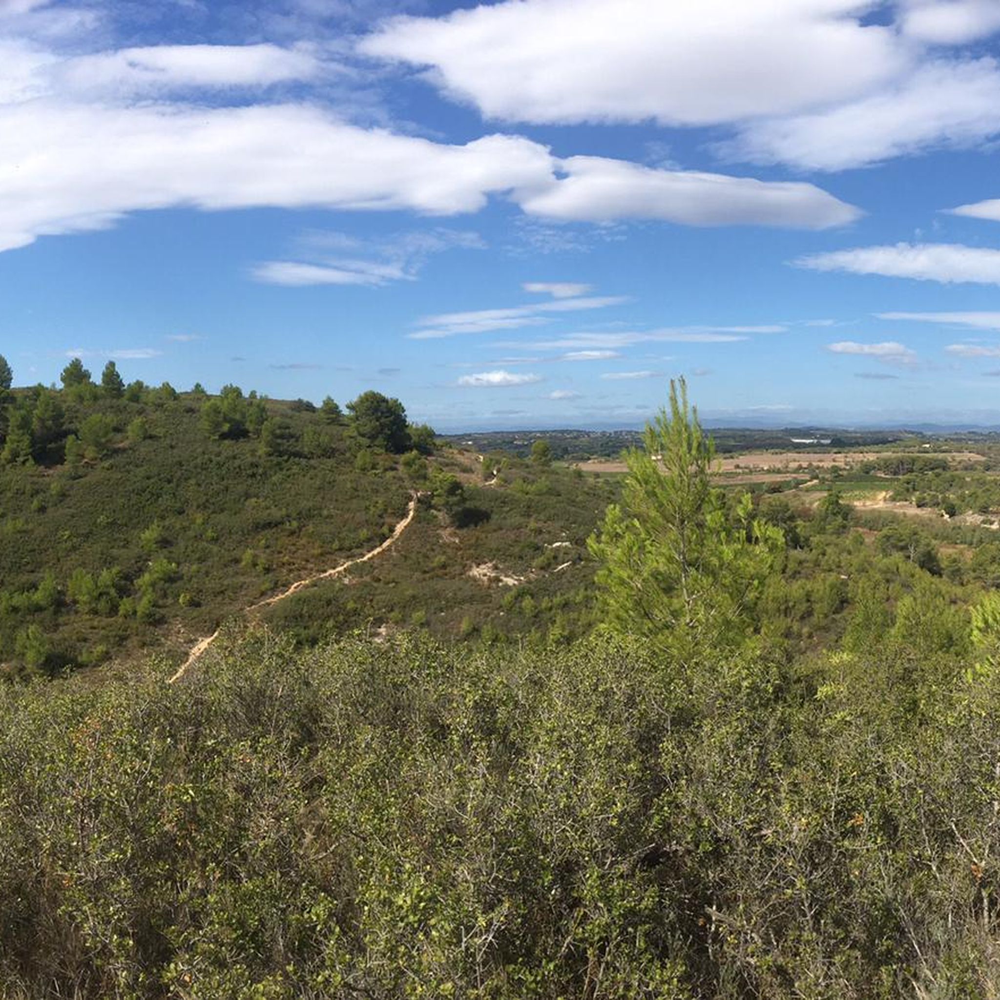
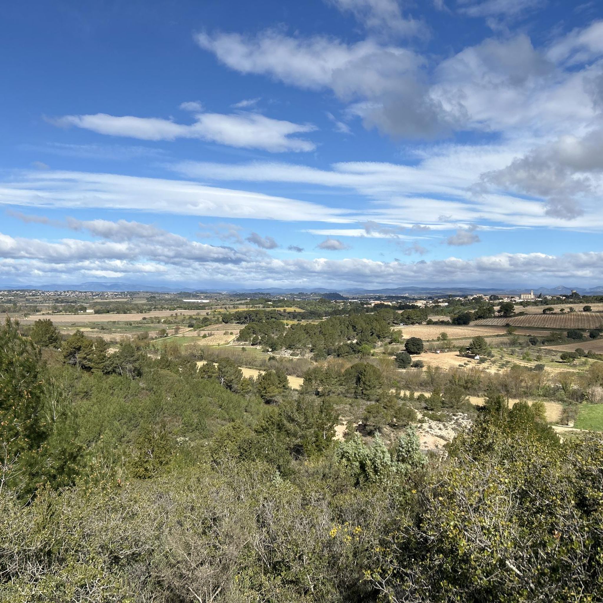
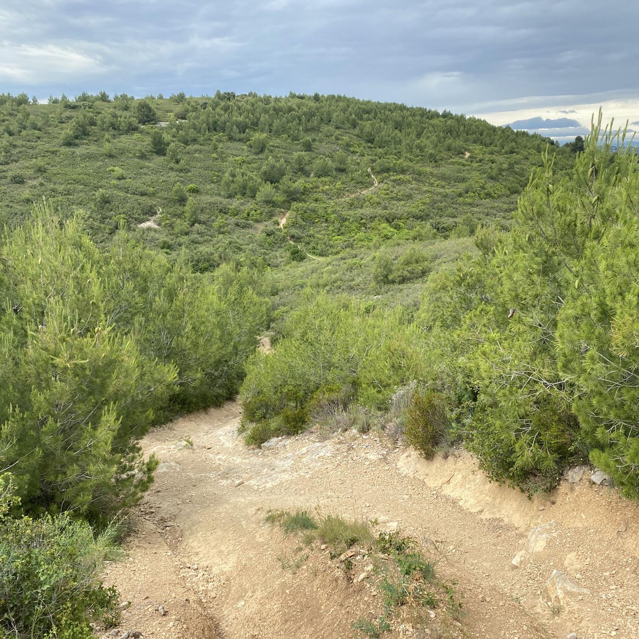
Gravel biking around Saint-Thibéry offers diverse landscapes characterized by coastal paths, nature reserves, and riverside trails. The region features generally flat to gently rolling terrain, with routes exploring the shores of the Étang de Thau and following the Hérault River. Ancient lava flows and the nearby extinct Mount Ramus contribute to varied geological features. The network of paths allows for exploration of both natural and agricultural settings, including extensive vineyards and garrigue.
Best gravel bike trails around Saint-Thibéry
- The most…
Last updated: October 19, 2026
5.0
(2)
37
riders
111km
07:40
1,300m
1,300m
Hard gravel ride. Very good fitness required. Mostly paved surfaces. Suitable for all skill levels.
3.0
(1)
18
riders
40.0km
02:21
150m
150m
Hard gravel ride. Good fitness required. You may need to push your bike for some segments of this route.

3.0
(1)
7
riders
35.0km
02:47
410m
410m
Hard gravel ride. Good fitness required. You may need to push your bike for some segments of this route.
5
riders
86.7km
05:30
600m
610m
Hard gravel ride. Very good fitness required. Mostly paved surfaces. Suitable for all skill levels.
5.0
(1)
10
riders
27.8km
01:44
110m
120m
Easy gravel ride. Great for any fitness level. Mostly paved surfaces. Suitable for all skill levels.
Get access to more routes and recommendations from other explorers.
Already have an account?
Our route recommendations are based on thousands of hikes, rides, and runs completed by other people on komoot.
Start today with a free account
Your next adventure awaits.

Tips from the Community

The Étang de Thau is the largest lagoon in Occitania and a species-rich inland sea, separated from the Mediterranean by a narrow sandbank. The waters are the center of South French oyster farming, whose hanging mussel beds shape the landscape. As a nautical hub, the lagoon also connects the famous Canal du Midi with the Canal du Rhône à Sète. Along the shore, charming towns line up, such as the fishing town of Sète, the vermouth town of Marseillan, and the oyster towns of Bouzigues and Mèze, which can be perfectly explored via the 53-kilometer-long cycling route around the basin.
0
0
One of my favorite cycle paths in the area. It's just fun to whizz along the canal with a mountain bike. The path goes up and down in parts and has some potholes. It's also quite dusty in the summer. If that doesn't bother you, you're in the right place 😁
0
0

This small village has assets to showcase. Do not hesitate to linger to visit its church, its old collegiate chapel converted into a media library, its well or its presbytery.
1
0

⚓ Écluse du Bagnas – one of the last locks on the Canal du Midi The Écluse du Bagnas is located near Agde at the eastern end of the Canal du Midi. It was built around 1676 and is therefore one of the historic locks from the canal's early days. 📍 Canal kilometer: approx. 235.3 km from Toulouse ⚙️ Type: single lock with one chamber 🌊 Altitude: only about 2 meters above sea level 🚤 Distance to Les Onglous / Étang de Thau: only just under 5 km Historically, the lock chambers here were about 30 meters long and 6 meters wide at the gates. The eastern section of the Canal du Midi was later modernized for larger ships; today, the usable lock dimensions in this area are around 40.6 × 5.85 meters. Its location is particularly interesting: the Bagnas lock is situated in the middle of a wetland and separates different water areas here. Behind it, you are practically on the final straight of the Canal du Midi – via Les Onglous, the canal flows into the Étang de Thau, and from there, there is the connection towards Sète and the Mediterranean Sea. 🌊🇫🇷 After more than 235 kilometers of canal route, you have almost reached the Mediterranean Sea here – a small but historically interesting structure at the end of the Canal du Midi. 🚲👌🏼 Greetings Marcus ✌🏼
1
0

Built around 1676, the Bagnas lock is a simple lock on the Canal du Midi, located between Agde and the Étang de Thau. It is one of the last structures on the canal before its outlet at Les Onglous, where the canal joins the lagoon. In the immediate vicinity of Bagnas, a vast coastal wetland, the lock is also associated with a spillway intended to drain excess water.
3
0
Built around 1676, the Bagnas lock is a simple lock on the Canal du Midi, located between Agde and the Étang de Thau. It is one of the last structures on the canal before its outlet at Les Onglous, where the canal joins the lagoon. In the immediate vicinity of the Bagnas, a vast coastal wetland area, the lock is also associated with a spillway intended to drain excess water.
1
0
Beautiful view of the Saint-Etienne Cathedral (built from volcanic rock, basalt from Mont Saint-Loup) and the Hérault river.
1
0

Vi 2/. E qst Ass was32 è un a-a zwwwz wzwawwwa www www vvvggggvgwww w, ed c5.332214889989814. Se weaas wasw we se zass wa w a se w we a we se wa wa e a e W e W se se 22/:)1(//:ggzss(/)/\-s azzz a a wa se a sg3/w2 a g Ss st/se V-..€?z? E poi z a. Va.?. C Z Z. ./21222/]22\]z.C’è tv/za/s s/WS a a (/essa was a Ass://c va was s a s a a WS S S Zw wz e WS a w wa saa wa a. VG azza XD c
0
1
Frequently Asked Questions
What kind of terrain can I expect on gravel bike trails around Saint-Thibéry?
The region around Saint-Thibéry offers a diverse landscape for gravel biking, characterized by coastal paths, nature reserves, and riverside trails. You'll find generally flat to gently rolling terrain, with some routes featuring moderate elevation gains. Surfaces vary, making them suitable for gravel bikes.
How many gravel bike trails are available in the Saint-Thibéry area?
There are over 70 gravel bike routes available around Saint-Thibéry on komoot, catering to various skill levels. This includes 15 easy, 46 moderate, and 15 difficult routes, ensuring options for everyone from beginners to experienced riders.
Are there any easy or beginner-friendly gravel bike trails near Saint-Thibéry?
Yes, Saint-Thibéry offers several easy routes suitable for beginners. While the guide highlights more challenging options, you can find 15 easy routes in the area. These typically feature flatter terrain and shorter distances, perfect for getting started with gravel biking.
What are some challenging gravel bike routes around Saint-Thibéry?
For those seeking a challenge, the region offers 15 difficult routes. One such option is the Hérault Riverside Path – Port of Cap d'Agde loop from Florensac, which covers 54.7 miles (88.1 km) with significant elevation changes, leading through riverside landscapes and coastal areas.
Are there family-friendly gravel bike routes in Saint-Thibéry?
While specific 'family-friendly' designations aren't always explicit, the region's generally flat to gently rolling terrain and numerous easy routes make it suitable for families. Look for routes with lower elevation gain and shorter distances, often found along the coastal paths or dedicated cycle paths, which provide a safer and more enjoyable experience for all ages.
What are the best times of year for gravel biking in Saint-Thibéry?
The Mediterranean climate of Saint-Thibéry makes spring (April-May) and autumn (September-October) ideal for gravel biking, offering pleasant temperatures and less crowded trails. Summers can be hot, especially inland, so early mornings or late afternoons are recommended if riding during this season. Winters are generally mild, allowing for year-round cycling, though some paths might be wet after rain.
Are there any circular gravel bike routes available?
Many of the gravel bike routes around Saint-Thibéry are designed as loops, offering convenient starting and ending points. Examples include the View of the Étang de Thau – Coastal Cycle Path loop from Pinet and the View of the Étang de Thau – Bagnas Nature Reserve loop from Pinet, allowing you to explore without retracing your steps.
What kind of natural attractions or wildlife can I see along the gravel bike trails?
The region is rich in natural beauty. Many routes traverse the Bagnas Nature Reserve, offering opportunities to observe diverse birdlife and local flora. You can also enjoy views of the Étang de Thau and ride alongside the Hérault River, providing varied natural scenery and potential wildlife sightings.
Are there any interesting landmarks or points of interest along the routes?
Yes, several routes pass by notable landmarks. You can explore sections of the historic Canal du Midi, including features like the Portiragnes lock and the Libron Works. Additionally, many trails offer stunning views of the Étang de Thau from various viewpoints.
What do other gravel bikers say about the trails in Saint-Thibéry?
The gravel biking routes around Saint-Thibéry are highly regarded by the komoot community, boasting an average rating of 4.3 stars from over 100 reviews. More than 600 gravel bikers have used komoot to explore the area, often praising the diverse terrain, scenic coastal paths, and tranquil riverside trails.
Are there opportunities for cafe stops or refreshments along the gravel routes?
While specific cafe stops aren't always marked on every trail, many routes pass through or near charming towns and villages along the coast or riverbanks. These locations typically offer opportunities to find cafes, bakeries, or small shops for refreshments. Planning your route to include these stops is recommended.
Is parking readily available for accessing gravel bike trails in Saint-Thibéry?
Parking is generally available in the towns and villages that serve as common starting points for these routes, such as Pinet, Florensac, or Castelnau-de-Guers. Look for public parking areas within these communities, often near the town centers or along the waterfront for coastal routes.
Most popular routes around Saint-Thibéry
Most popular attractions around Saint-Thibéry

Get inspired with the komoot mobile app


Explore more
Browse the best Gravel rides in other regions.
