The best gravel rides around Willerval
4.3
(31)
214
riders
38
rides
Gravel biking around Willerval provides access to the varied landscapes of the Hauts-de-France region. The area features a network of rural roads, agricultural tracks, and dedicated cycle paths, offering diverse terrain for cyclists. Routes often combine countryside vistas with sections along canal paths, riverbanks, and open agricultural plains. The terrain ranges from mostly flat, easy surfaces to more challenging rides with varied elevation.
Best gravel bike trails around Willerval
- The most popular gravel bike trail is Canal de Beuvry-Préolan –…
Last updated: July 3, 2026
5.0
(1)
15
riders
32.5km
01:49
140m
140m
Hard gravel ride. Great for any fitness level. You may need to push your bike for some segments of this route.
5.0
(2)
16
riders
Easy gravel ride. Great for any fitness level. Mostly paved surfaces. Suitable for all skill levels.

Sign up for free
1.0
(2)
15
riders
53.7km
03:10
170m
170m
Moderate gravel ride. Good fitness required. Mostly paved surfaces. Suitable for all skill levels.
5.0
(1)
9
riders
48.2km
03:10
450m
450m
Moderate gravel ride. Good fitness required. Mostly paved surfaces. Suitable for all skill levels.
5.0
(1)
8
riders
61.0km
03:40
410m
410m
Moderate gravel ride. Good fitness required. Mostly paved surfaces. Suitable for all skill levels.
Get access to more routes and recommendations from other explorers.
Sign up for free
Already have an account?
Our route recommendations are based on thousands of hikes, rides, and runs completed by other people on komoot.
Start today with a free account
Your next adventure awaits.
Login or Signup




Tips from the Community


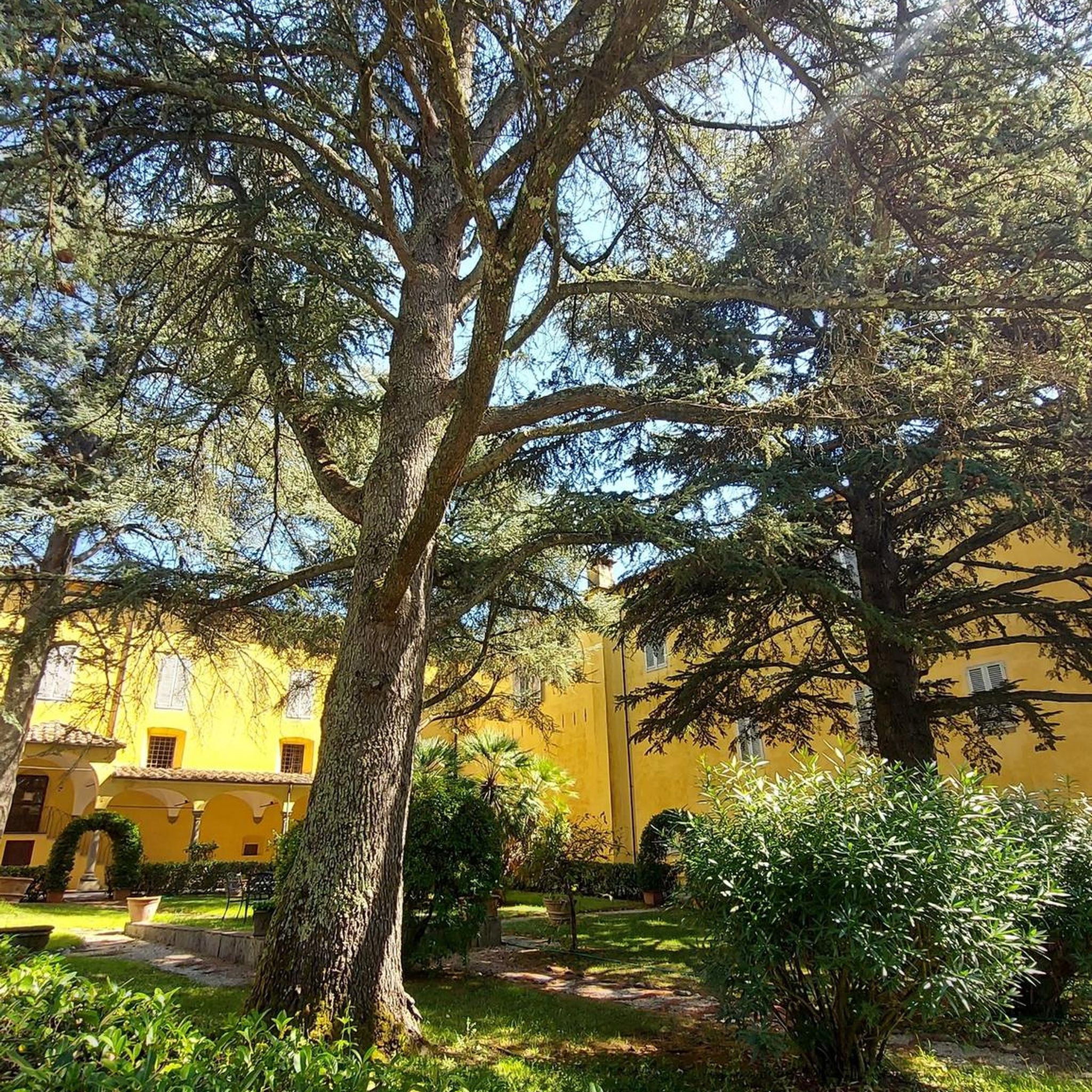
End of the trip at this villa in Vitry en Artois
0
0

The Maroeuil Marsh natural area offers a pleasant walk along the Scarpe River, with interesting flora and fauna. The signposting is illustrated by the small Vertigo de Des Moulins snail, which you can try to spot on the marsh plants.
0
0

Le Jardin Minelle is fed by spring water and has a central water feature which is a meeting place for various birds such as moorhens, ducks and swans. It is a beautiful place to walk or enjoy nature.
6
0
The Nécropole nationale de Notre-Dame-de-Lorette is one of the largest and most impressive military cemeteries in France. Situated on a hill in Ablain-Saint-Nazaire, this cemetery contains the graves of more than 42,000 soldiers who died during the First World War. The cemetery was inaugurated in 1925 and includes a basilica, a tower-lantern and a museum.
7
0


The church dedicated to the Mother of God under the title "Notre-Dame de Lorette" rises in brilliant white and is visible from far away. But the brilliant impression is deceptive, at the latest when the visitor to the site realizes that they are in a huge military cemetery. Around 20,000 individual graves and a further 23,000 victims of war and tyranny buried in ossuaries are deeply disturbing.
3
0
Frequently Asked Questions
What kind of terrain can I expect on gravel bike trails around Willerval?
The gravel bike trails around Willerval offer a diverse mix of terrain. You'll find quiet rural roads, agricultural tracks, and dedicated cycle paths. The region, part of Hauts-de-France, combines countryside vistas with sections that can include coastal views, particularly towards the Opal Coast. Expect varied surfaces, from mostly paved to unpaved gravel, with routes ranging from relatively flat to those with significant elevation changes.
Are there any easy gravel bike routes suitable for beginners near Willerval?
Yes, there are several easy gravel bike routes. Out of 71 available tours, 9 are classified as easy. For example, the Scarpe riverbanks – The Scarpe by bike loop from Anzin-Saint-Aubin is an easy 29.5 km (18.3 miles) route that follows the Scarpe riverbanks, offering gentle terrain and scenic views.
What are some longer gravel biking options for experienced riders?
For experienced riders looking for a challenge, there are 15 difficult routes available. A notable option is the Canal de Beuvry-Préolan – Beuvry Water Sports Center loop from Gare de Lens. This difficult trail spans 79 km (49.1 miles) and features significant elevation gain and diverse surfaces, typically taking around 5 hours 30 minutes to complete.
Can I find circular gravel bike routes around Willerval?
Yes, many of the gravel bike routes in the area are designed as loops, allowing you to start and finish at the same point. For instance, the Scarpe riverbanks – The Scarpe by bike loop from Thélus is a moderate 48.1 km (29.9 miles) circular path that follows the Scarpe riverbanks, offering a mix of natural scenery and open countryside.
Are there any historical landmarks or points of interest along the gravel bike trails?
The region around Willerval is rich in history, particularly related to World War One. Many routes pass near significant historical sites. You can explore areas close to the Canadian National Vimy Memorial, the Notre-Dame-de-Lorette National Cemetery, or even the ruined church of Ablain-Saint-Nazaire. These sites offer a poignant glimpse into the area's past.
What natural attractions or viewpoints can I discover while gravel biking?
Beyond historical sites, the area offers natural beauty. You might encounter natural monuments like the Loos-en-Gohelle slag heap or the Spoil heaps 74 and 74a, which offer unique landscapes. There are also viewpoints such as the View of the mining basin and the hills of Artois, providing panoramic vistas of the region.
What is the best time of year for gravel biking around Willerval?
The Hauts-de-France region generally offers good conditions for gravel biking from spring through autumn. Spring brings blooming landscapes, while autumn provides cooler temperatures and vibrant foliage. Summers are also pleasant, but it's always advisable to check local weather forecasts, as conditions can vary.
Are there any gravel bike routes that pass by canals or rivers?
Yes, canal paths and riverbanks are a defining feature of gravel biking around Willerval. Many routes utilize these waterways, offering flat and scenic riding. For instance, the Canal de Lens – Harnes Fishing Pond loop from Lens is a 32.6 km (20.2 miles) trail that leads through canal-side paths and rural areas.
What do other gravel bikers say about the trails in Willerval?
The gravel biking routes around Willerval are highly regarded by the komoot community, holding an average rating of 4.4 stars from over 30 reviews. Cyclists often praise the varied terrain, the mix of countryside and canal paths, and the opportunities to explore the region's unique historical and natural landscapes.
Are there any family-friendly gravel biking options near Willerval?
While specific 'family-friendly' designations aren't always explicit, the presence of 9 easy routes and numerous moderate routes with less elevation suggests suitable options for families. Routes along canal paths or through open countryside with minimal traffic, like sections of the Scarpe riverbanks, would generally be more appropriate for family outings.
Where can I find information about public transport or parking for these trails?
Willerval's strategic location near cities like Lens and Arras means many routes can be accessed from these urban centers, which typically offer public transport connections and parking facilities. For specific trailheads, it's recommended to check the individual route details on komoot, as they often include information on starting points and accessibility.
Are there any routes that explore the mining basin landscape?
Yes, the region's industrial heritage is visible in its landscape. Some routes offer views of the mining basin, including unique features like the slag heaps. The Marais de la Galance – Bois de Florimond Pumptrack loop from Loison-sous-Lens, for example, is a difficult 30.5 km (18.9 miles) route that traverses areas with this distinctive terrain.
Most popular attractions around Willerval

Get inspired with the komoot mobile app


Explore more
Browse the best Gravel rides in other regions.
