The best gravel rides around Maux
3.8
(6)
59
riders
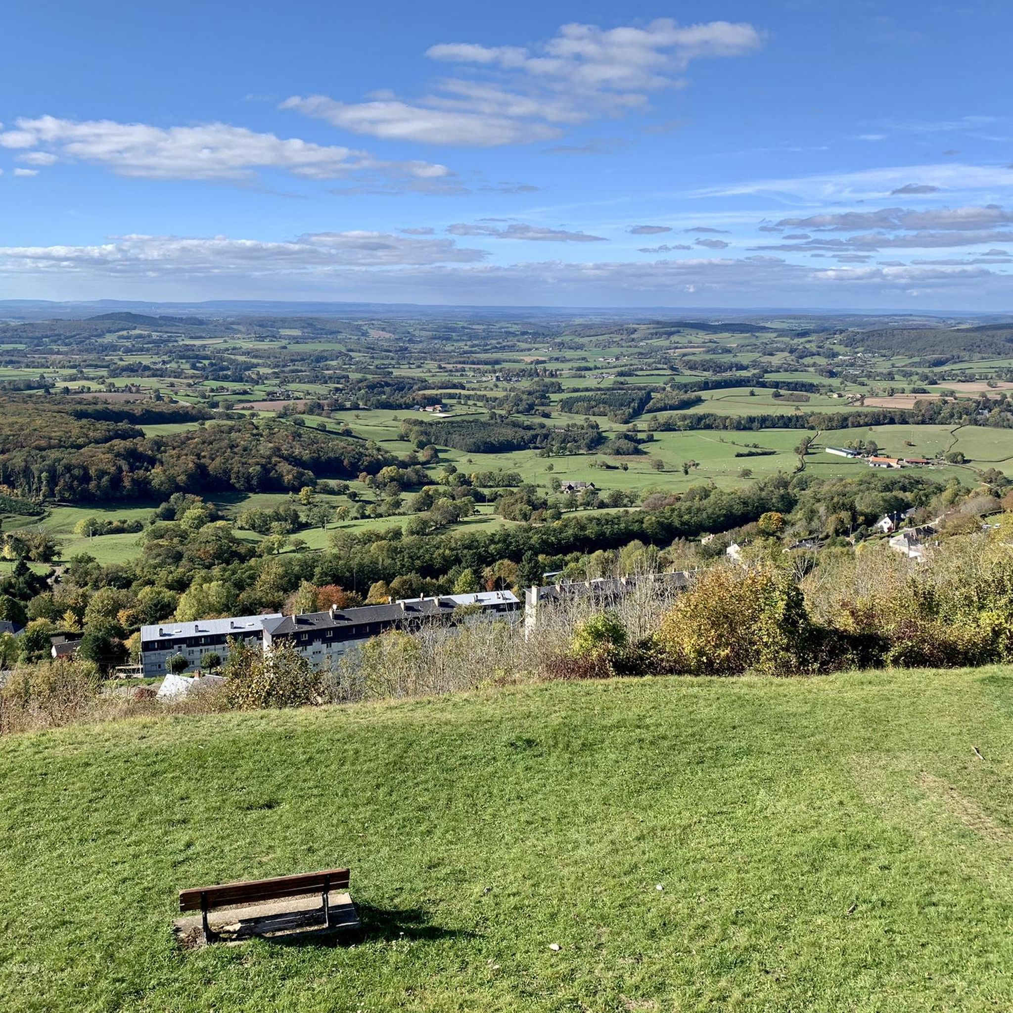
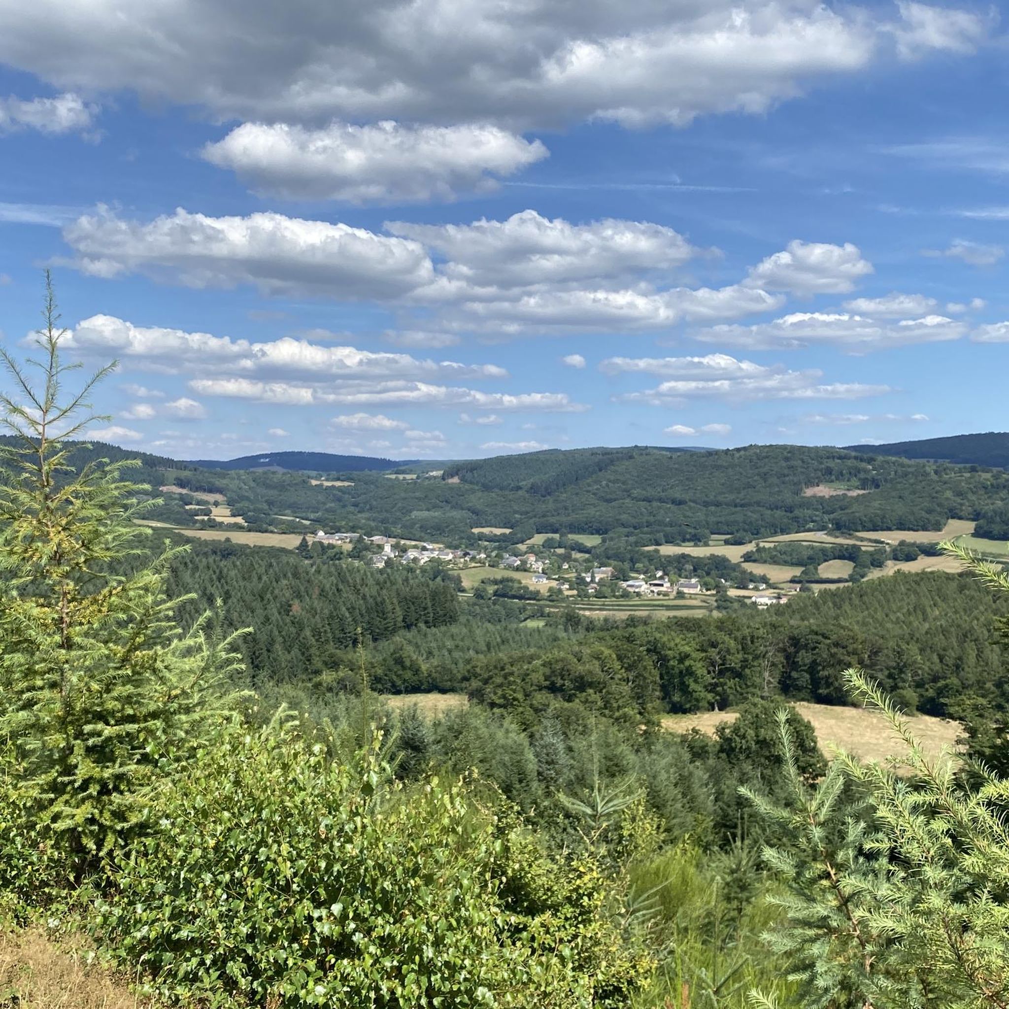
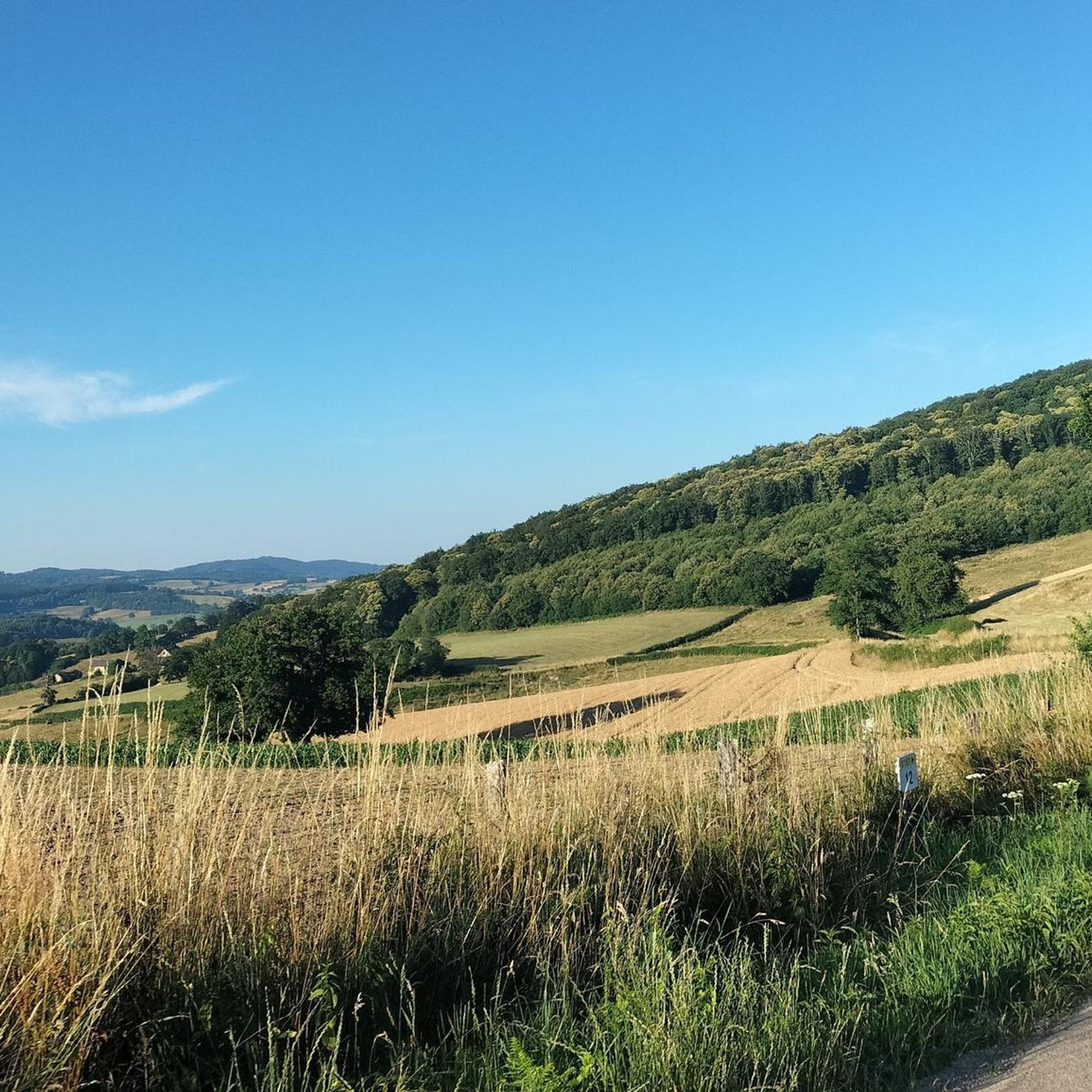
Gravel biking around Maux offers routes through the Morvan Regional Natural Park, characterized by its rolling hills, dense forests, and numerous lakes and reservoirs. The terrain includes ascents to summits like Haut-Folin and Mont Beuvray, as well as paths around bodies of water such as Settons Lake and Pannecière reservoir. This region provides a varied landscape for gravel cyclists seeking challenging routes.
Best gravel bike trails around Maux
- The most popular gravel bike trail is Settons Lake (south) – Lake of Settons loop from Château-Chinon, a difficult 62.8 miles (101.0 km) trail that takes 8 hours 59 minutes to complete. This route explores the extensive shoreline of Settons Lake.
- Another top favourite among local gravel bikers is Haut-Folin Pass – Haut-Folin Summit loop from Château-Chinon (Campagne), a difficult 32.7 miles (52.5 km) path. This trail features significant elevation gain towards the Haut-Folin summit.
- Local gravel bikers also love the Mont Beuvray – Saint-Prix loop from Château-Chinon (Campagne), a 59.2 miles (95.3 km) trail leading through forested hills and past Mont Beuvray, often completed in about 7 hours 17 minutes.
- Gravel biking around Maux is defined by forested hills, significant climbs to summits, and routes around large lakes and reservoirs. The network primarily offers challenging routes for experienced gravel cyclists.
- The routes in Maux are highly rated by the komoot community with an average score of 4.0 stars from 7 reviews. More than 60 gravel bikers have used komoot to explore Maux's varied terrain.
Last updated: July 2, 2026
3.0
(2)
12
riders
103km
07:36
1,800m
1,800m
Hard gravel ride. Very good fitness required. Mostly paved surfaces. Suitable for all skill levels.
9
riders
98.3km
07:32
2,210m
2,210m
Hard gravel ride. Very good fitness required. Mostly paved surfaces. Suitable for all skill levels.

Sign up for free
5.0
(1)
5
riders
52.6km
04:17
1,200m
1,210m
Hard gravel ride. Very good fitness required. You may need to push your bike for some segments of this route.
3.0
(1)
7
riders
Hard gravel ride. Very good fitness required. Mostly paved surfaces. Suitable for all skill levels.
4
riders
Hard gravel ride. Very good fitness required. Mostly paved surfaces. Suitable for all skill levels.
Our route recommendations are based on thousands of hikes, rides, and runs completed by other people on komoot.
Start today with a free account
Your next adventure awaits.
Login or Signup
Tips from the Community

The Pannecière reservoir was commissioned in 1949. This artificial lake's purpose is to increase the flow of the Yonne and Seine rivers and to mitigate the risk of flooding. It is the largest lake in the Morvan region.
0
0
The Ouroux-en-Morvan pond offers an ideal setting for a relaxing break by the water. A small, shaded path circles the pond. You'll find several spots for picnics and simply enjoying the surroundings.
0
0

Haut-Folin is the highest point in the Morvan region and, more broadly, in Burgundy, at 901 meters above sea level. This mountain boasts a beautiful natural setting with areas covered in deciduous and coniferous trees. It is also the starting point for numerous hiking and cycling trails.
1
0


A beautiful forest cycle ride, winding through the remains of the Gaulish village of Bibracte! The goal after the Col du Rebout is a one-way loop that descends to Saint-Léger-sous-Beuvray.
0
0

Beautiful and very pleasant for a break!
0
0

Lake Sentons is the most famous lake in Morvan: fishing, water sports and walking.
0
0
Electricity production and tourism
0
0
Frequently Asked Questions
Are there any easy gravel bike trails around Maux suitable for beginners?
The gravel biking network around Maux primarily offers challenging routes designed for experienced gravel cyclists. The terrain features significant elevation gains, rolling hills, and dense forests within the Morvan Regional Natural Park, making most trails difficult. There are no routes explicitly categorized as easy or moderate in this area.
What makes the gravel bike trails around Maux challenging?
The trails in Maux are considered challenging due to the significant elevation gains and varied terrain. Routes often include ascents to summits like Haut-Folin and Mont Beuvray, combined with paths through dense forests and around large lakes, requiring good physical condition and technical skill. For example, the Mont Beuvray – Saint-Prix loop from Château-Chinon (Campagne) features over 2,100 meters of elevation gain.
What is the typical length and duration of gravel bike routes in Maux?
Gravel bike routes around Maux vary in length and duration. You can expect trails ranging from approximately 31 miles (50 km) to over 62 miles (100 km). Durations typically range from 5 to 9 hours, depending on the route's length and elevation profile. For instance, the Settons Lake (south) – Lake of Settons loop from Château-Chinon is 62.8 miles (101.0 km) and takes nearly 9 hours.
Are there circular gravel bike routes available in Maux?
Yes, all the featured gravel bike routes around Maux are circular, allowing you to start and end at the same point. This includes popular options like the Haut-Folin Pass – Haut-Folin Summit loop from Château-Chinon (Campagne) and the Pannecière reservoir lake – Pont des Vouas over the Yonne loop from Château-Chinon (Campagne).
What can I see along the gravel bike trails around Maux?
Many gravel bike trails in Maux offer scenic views and pass by notable landmarks. You can explore the extensive shoreline of Settons Lake, ascend to summits like Haut-Folin and Mont Beuvray, or ride around the Pannecière reservoir. Additionally, you might encounter historical sites such as the Château de Châtillon-en-Bazois or the Canal du Nivernais.
What do other gravel bikers enjoy most about gravel biking in Maux?
The gravel biking experience in Maux is highly rated by the komoot community, with an average score of 4.0 stars from 7 reviews. Reviewers often praise the varied terrain, the challenging climbs, and the scenic beauty of the Morvan Regional Natural Park, especially the routes around the large lakes and through dense forests.
What is the best season for gravel biking around Maux?
The best season for gravel biking around Maux is generally from spring to autumn (April to October). During these months, the weather is typically milder, and the trails are less likely to be affected by snow or heavy rain, which can make the challenging terrain even more difficult. Always check the local weather forecast before heading out.
Are there any less crowded gravel trails in the Maux area?
While specific crowd levels can vary, the Morvan Regional Natural Park generally offers a sense of wilderness and tranquility. To find potentially less crowded routes, consider exploring trails that venture deeper into the forests or away from the most popular lake areas, or plan your rides during off-peak hours or weekdays.
Are there any gravel bike routes that pass through towns or villages with cafes?
Many routes in the Maux area start or pass through towns like Château-Chinon, which offers amenities like cafes and shops. For example, the Château-Chinon Town Center – Château-Chinon Hill loop from Château-Chinon (Campagne) begins directly in the town center, providing opportunities for refreshments before or after your ride.
Is parking available for gravel biking trails near Maux?
Parking is generally available in the towns and villages that serve as starting points for many of the gravel bike routes, such as Château-Chinon. Specific parking information for individual trailheads may vary, so it's advisable to check local signage or online resources for the exact starting location of your chosen route.
Are the gravel bike trails in Maux suitable for families with children?
Given that all gravel bike routes around Maux are rated as 'difficult' due to significant elevation changes and varied terrain, they are generally not recommended for families with young children or those seeking very easy, flat rides. These trails are better suited for experienced gravel cyclists looking for a challenge.
Most popular attractions around Maux

Get inspired with the komoot mobile app


Explore more
Browse the best Gravel rides in other regions.
