The 11 Most Amazing Peaks around Albershausen
Mountain peaks around Albershausen are situated in a region characterized by its elevation of 328 meters, nestled between the lower Filstal and the Swabian Jura. While Albershausen itself does not feature prominent mountain peaks, the surrounding area offers several elevated points. These locations provide scenic views and opportunities for hiking. The local terrain includes varied landscapes, from conical hills to elevated plateaus.
Best mountain peaks around Albershausen
- The most popular mountain peaks is Limburg Viewpoint, a viewpoint that rises…
Last updated: July 8, 2026
Limburg Viewpoint
Highlight • Viewpoint
Translated by Google •
Tip by

Bossler Memorial Cross and Viewpoint
Highlight • Viewpoint
Translated by Google •
Tip by

Sign up now to discover places like this
Get recommendations on the best single tracks, peaks, & plenty of other exciting outdoor places.
Sign up for free
Kornberg Summit
Highlight • Summit
Translated by Google •
Tip by

Erkenberg Summit (743 m)
Highlight • Summit
Translated by Google •
Tip by

Aichelberg Summit and Castle Ruins
Highlight • Summit
Translated by Google •
Tip by
Sign up for free to discover even more peaks around Albershausen.
Sign up for free
Already have an account?
Start today with a free account
Your next adventure awaits.
Login or Signup
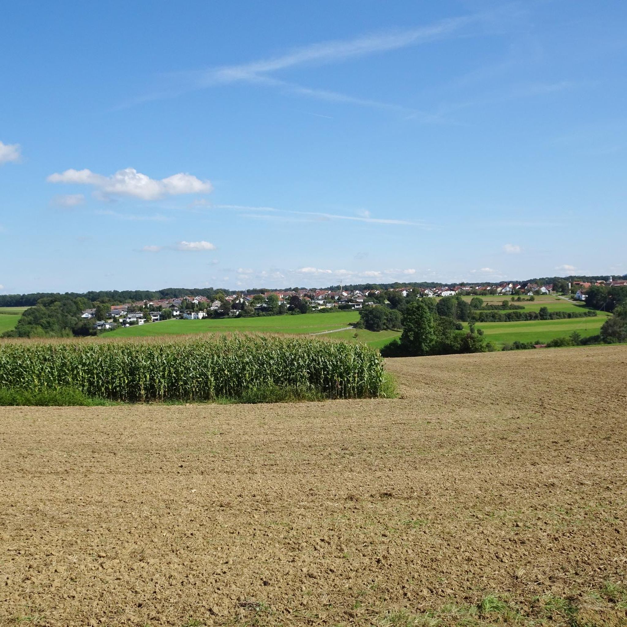
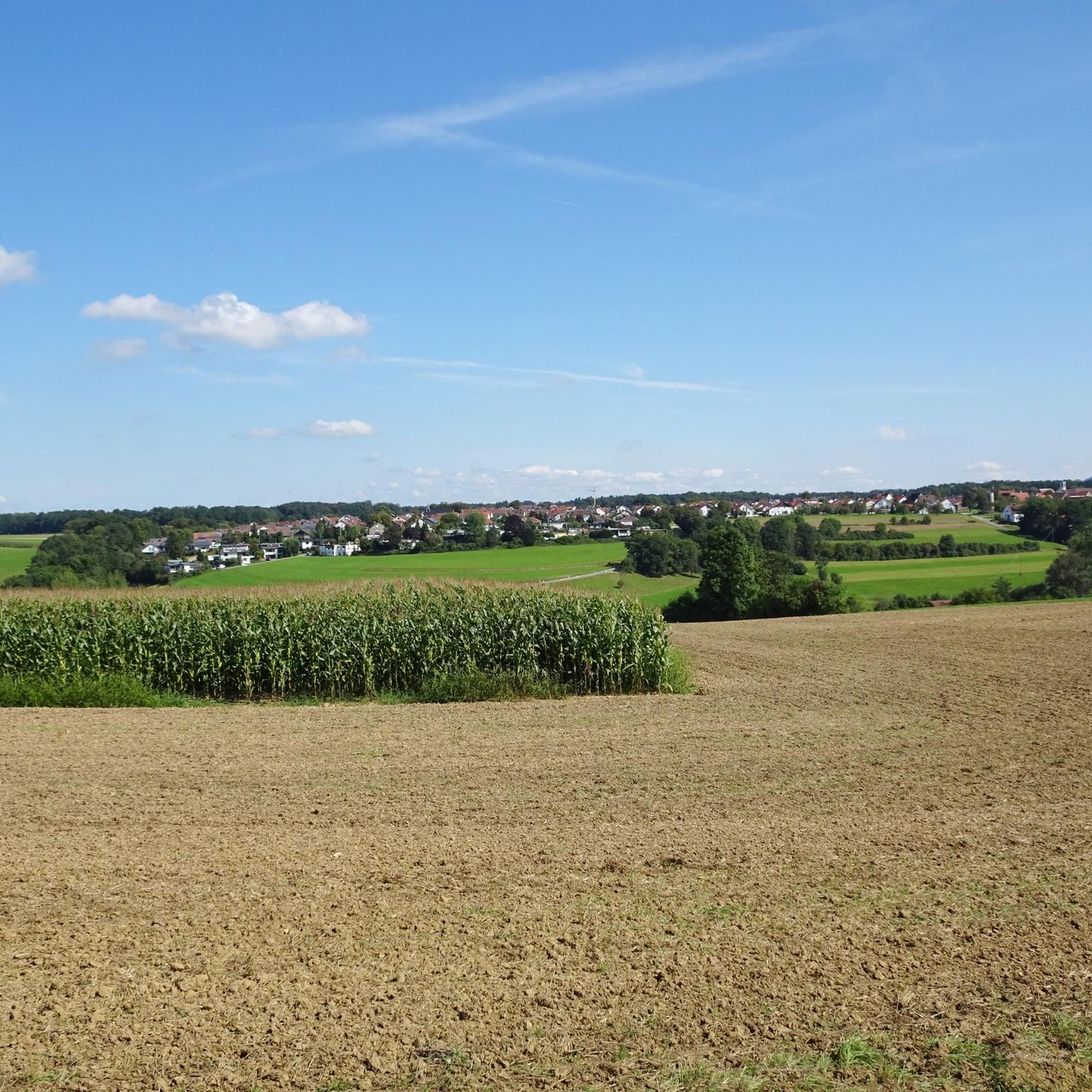
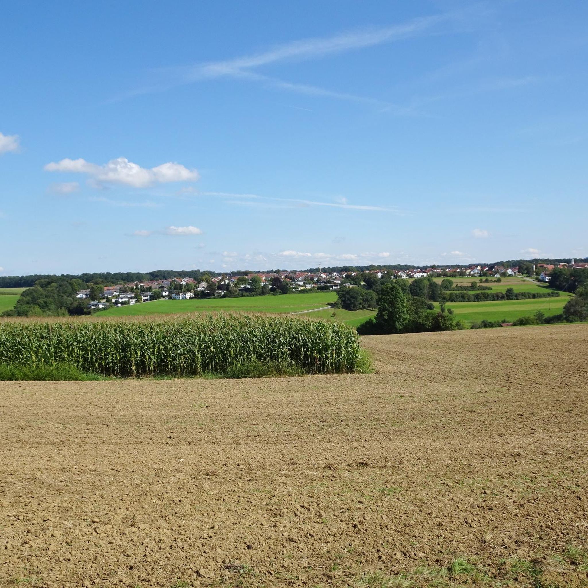
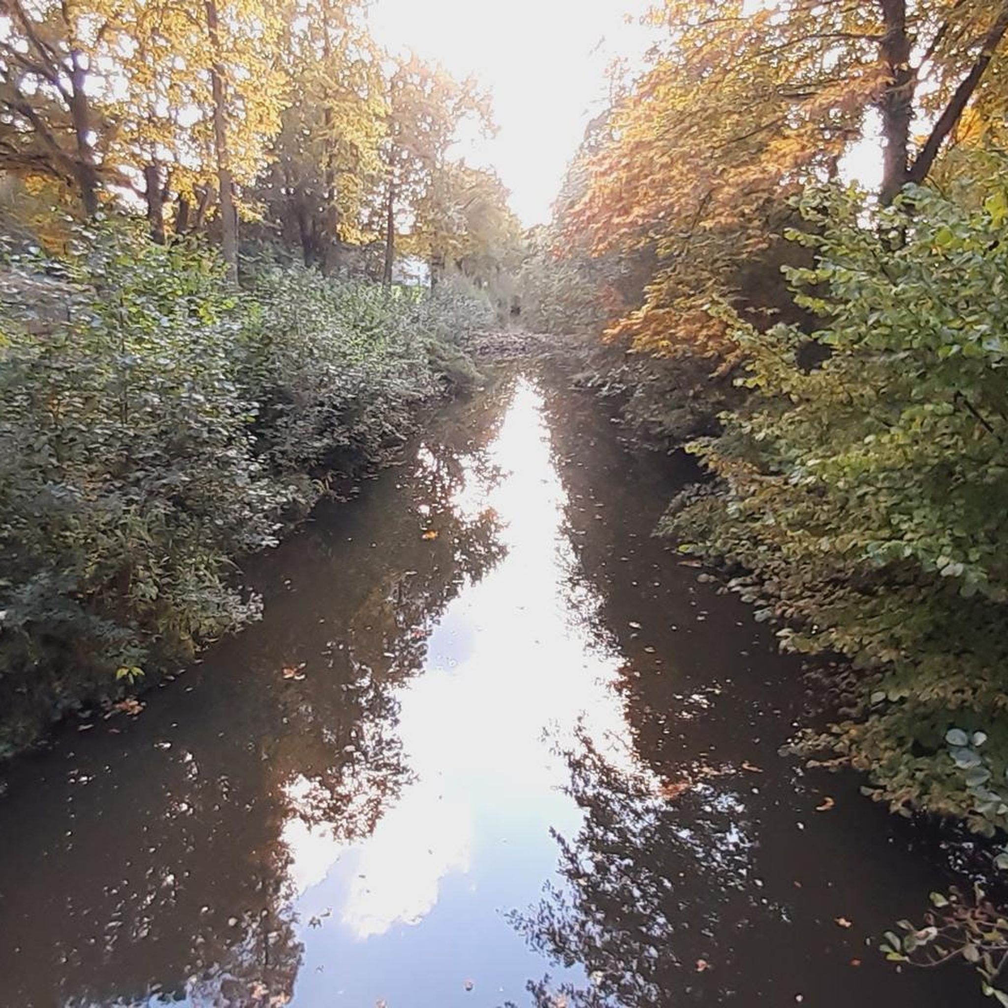
Tips from the Community

The Boßler is a prominent mountain in the Swabian Alps near Gruibingen, rising to 794.7 meters above sea level. From its vantage point on the edge of the Alb plateau, a sweeping view opens up across the Alb foothills – on a clear day, this extends far to the west. A large memorial cross also stands here, commemorating several tragic aircraft crashes that have occurred in the region since the 1940s.
4
0

The stone is somewhat difficult to find, especially since the point marked on the Komoot map differs from the GPS location.
1
0

There's some more information above as well.
0
0

Beautiful spot with wonderful views
0
0
Merkenberg Castle stretched over an area of around 65 x 13 metres on the towering summit of the Erkenberg. Today, two hollows can still be seen, which may indicate the location of former buildings.
0
0

Nice trail as a loop, clockwise probably better than against how I did it. Steep, so strong calves or motor recommended;) Despite the foliage, the path was clearly visible and not overgrown even at this time of year.
0
0

Magnificent view towards Burg Teck and the A8
2
0

The Kornberg is 779.7 m above sea level. NHN[1] high mountain on the Albtrauf, the northern edge of the Swabian Alb. The summit of the mountain lies in the municipality of Gruibingen in the Göppingen district. By ordinance of the Stuttgart Regional Council dated July 15, 2004, the Kornberg and its southern foothills, Barn, were designated as the Kornberg nature reserve under number 1,262. The nature reserve covers an area of 189.8 hectares. The purpose is to protect the preservation and promotion of an ecologically diverse, small-structured and networked landscape with juniper heaths, succession areas, hedges, extensively used species-rich meadows, some fields and commercial meadows and near-natural deciduous forests with the typical, partly endangered animal and plant species; the preservation of a cultural landscape as a witness to partly historical forms of use, in particular the preservation of the juniper heaths and the extensively cultivated meadows; the preservation of a particularly varied, attractive section of the landscape that is typical of the Swabian Alb. The area contains the FFH habitat types 5130 (formations of Juniperus communis on calcareous heaths and grasslands), 6510 (lean lowland hay meadows), 9130 (woodruff beech forests) and 9150 (orchid beech forests).[5] https://de.wikipedia.org/wiki/Kornberg_(Gruibingen)
6
0
Frequently Asked Questions
What are the most popular mountain peaks to visit around Albershausen?
The region around Albershausen offers several highly-regarded elevated points. Among the most popular are the Limburg Viewpoint, known for its panoramic views and conical shape, and the Bossler Memorial Cross and Viewpoint, which provides sweeping views across the Alb foothills. Another notable peak is the Aichelberg Summit and Castle Ruins, a summit of volcanic origin with historical significance and broad vistas.
Are there family-friendly mountain peaks or hikes near Albershausen?
Yes, the Limburg Viewpoint is categorized as family-friendly and offers rewarding views without overly strenuous climbs. The surrounding area also features various walking and easy hiking routes suitable for all fitness levels, typically taking up to 2 hours to complete with gentle paths.
What kind of views can I expect from the mountain peaks around Albershausen?
From peaks like the Limburg Viewpoint, you can enjoy expansive, all-around views that include the '3 Kaiser mountains,' Schurwald, the Neckar valley, and the Filder plain. The Bossler Memorial Cross and Viewpoint offers a sweeping view across the Alb foothills, extending far to the west on clear days. The Aichelberg Summit and Castle Ruins provides wonderful views from Albtrauf to Stuttgart and the 3 imperial mountains.
What historical sites or landmarks are associated with the mountain peaks in this region?
Several peaks have historical significance. The Limburg Viewpoint has a long history of human habitation, with remnants of an original castle and a spring called 'Kindlesbrunnen.' The Bossler Memorial Cross and Viewpoint features a large memorial cross commemorating tragic aircraft crashes. The Aichelberg Summit and Castle Ruins also includes historical castle remnants.
Are there hiking trails near the mountain peaks around Albershausen?
Yes, the region is well-suited for hiking. You can find numerous routes, including easy and moderate options, that explore the elevated areas and scenic viewpoints. For more detailed hiking options, explore the Hiking around Albershausen guide, which includes routes like the 'Oberer Roßteich – Lower Roßteich Pond loop'.
What are the natural features unique to the mountain peaks near Albershausen?
The peaks in this area showcase diverse natural features. The Limburg Viewpoint is known for its unique vegetation, including grasslands, isolated linden trees, scrub forest, vineyards, and extensive orchards. The Kornberg Summit is part of a nature reserve, protecting ecologically diverse landscapes with juniper heaths, species-rich meadows, and near-natural deciduous forests. Several peaks, like the Limburg and Aichelberg, are also of volcanic origin.
Can I find easy hiking routes to mountain peaks around Albershausen?
Absolutely. Many routes in the area are designed for easy to moderate difficulty, with gentle paths and elevation gains typically up to 300 meters. For specific easy options, check out the Easy hikes around Albershausen guide, which lists routes such as the 'Waldstadion Albershausen – Parking Area loop'.
What other outdoor activities can I do near the mountain peaks?
Beyond hiking, the region offers opportunities for cycling. You can find various cycling routes that explore the scenic surroundings. For cycling options, refer to the Cycling around Albershausen guide, which includes routes like the 'Fils Riverside Path – Fils terraces loop'.
What makes the Kornberg Summit special?
The Kornberg Summit, at 779.7 meters, is a significant mountain on the Albtrauf and is designated as a nature reserve. It protects an ecologically diverse landscape featuring juniper heaths, extensively used species-rich meadows, and near-natural deciduous forests, making it a valuable area for nature observation and conservation.
Is the Erkenberg Summit suitable for all hikers?
The Erkenberg Summit (743 m) features very steep and often overgrown singletracks. It is less used and can be quite challenging, especially for bikers. While it offers tranquility, it's generally recommended for experienced hikers comfortable with rugged terrain rather than casual visitors.
What do visitors appreciate most about the mountain peaks near Albershausen?
Visitors frequently highlight the expansive panoramic views from summits like the Limburg Viewpoint, which offers vistas of the '3 Kaiser mountains' and the Neckar valley. The historical significance of sites like the Limburg and the Bossler Memorial Cross also adds depth to the natural beauty, providing a rich experience for those exploring the area.
Most popular routes around Albershausen
Most popular attractions around Albershausen

Get inspired with the komoot mobile app


Explore more
See even more amazing summits around Albershausen with these guides:
