The best gravel rides around Sainte-Catherine
4.4
(8)
50
riders
13
rides
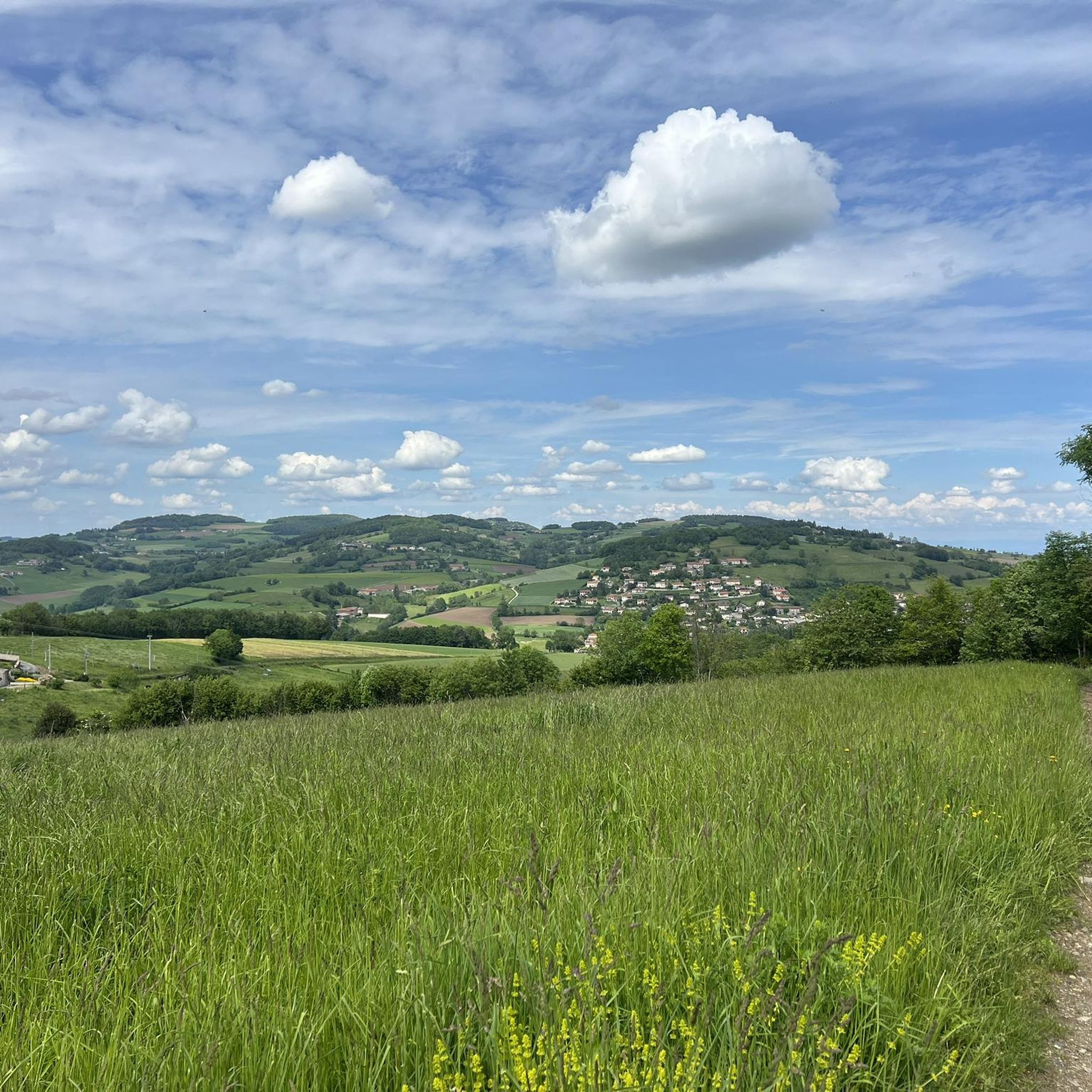
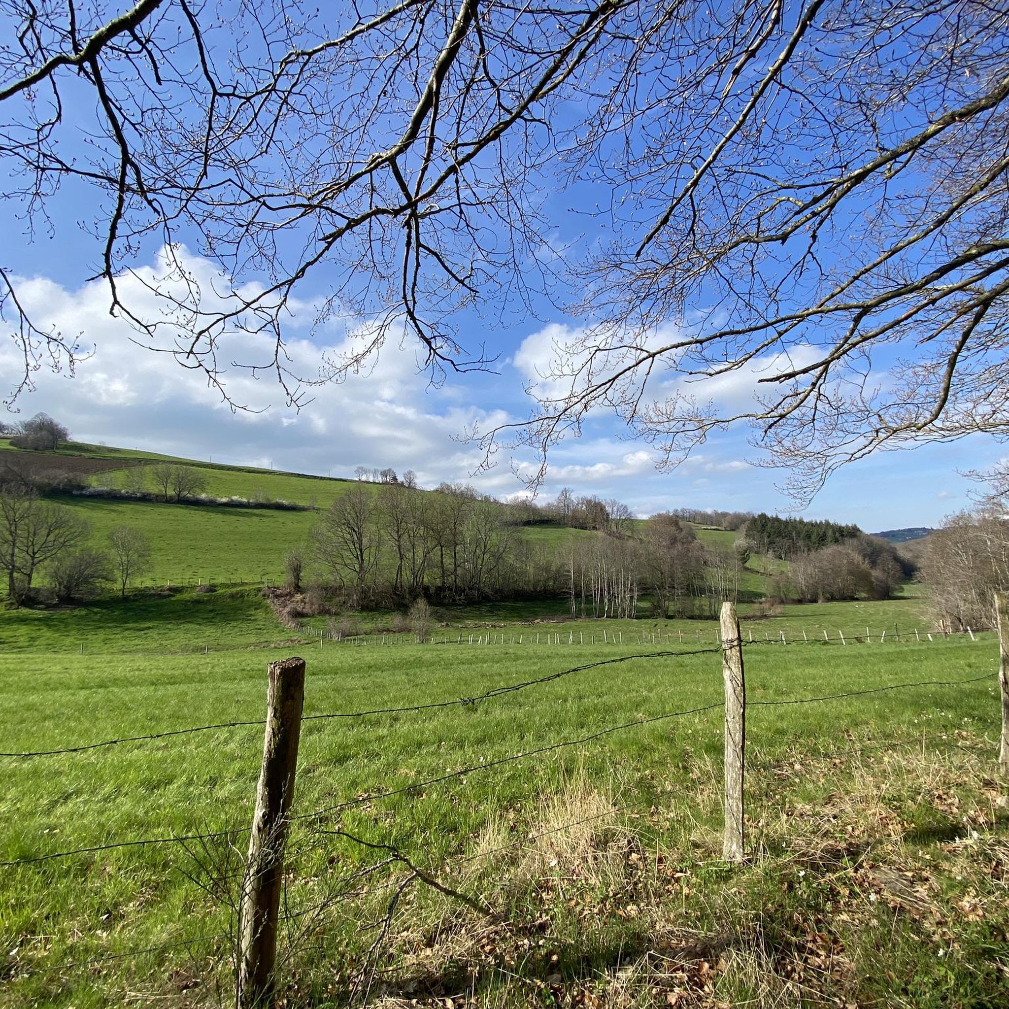
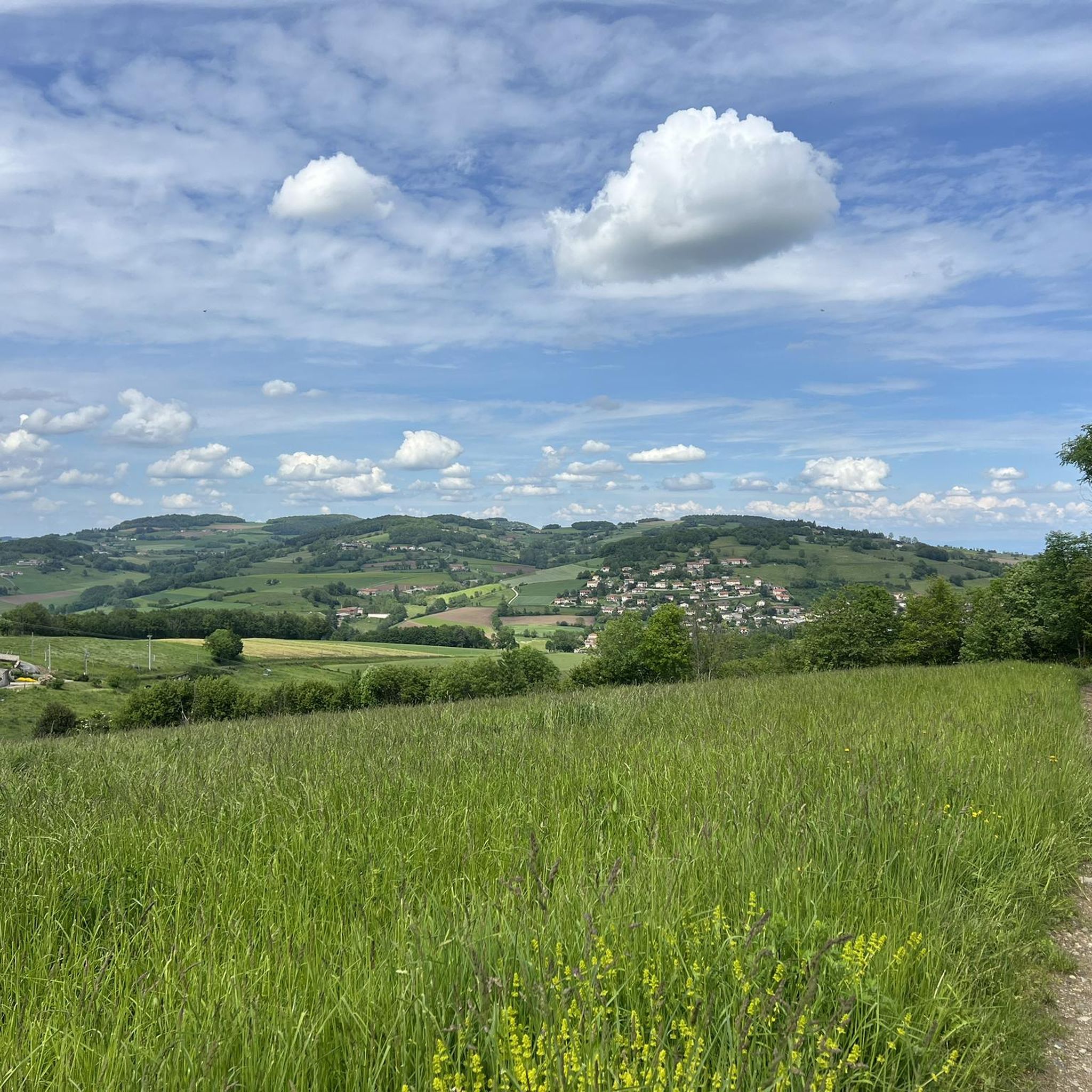
Gravel biking around Sainte-Catherine offers a diverse landscape for riders, characterized by rolling hills, forested sections, and open countryside. The region features a network of 17 gravel bike trails, with 5 routes rated as moderate and 12 as difficult, providing options for various skill levels. These routes often connect historical points of interest and offer varied terrain suitable for gravel bikes.
Best gravel bike trails around Sainte-Catherine
- The most popular gravel bike trail is Montagny water tower – Saint Vincent…
Last updated: July 2, 2026
4.0
(2)
5
riders
73.1km
05:34
1,660m
1,660m
Hard gravel ride. Very good fitness required. Mostly paved surfaces. Suitable for all skill levels.
3
riders
27.8km
02:01
420m
420m
Moderate gravel ride. Good fitness required. Mostly paved surfaces. Suitable for all skill levels.

Sign up for free
5
riders
Moderate gravel ride. Good fitness required. Mostly paved surfaces. Suitable for all skill levels.
3.0
(1)
4
riders
55.2km
04:28
1,350m
1,350m
Hard gravel ride. Very good fitness required. You may need to push your bike for some segments of this route.
6
riders
38.4km
02:50
660m
650m
Hard gravel ride. Very good fitness required. Mostly paved surfaces. Suitable for all skill levels.
Get access to more routes and recommendations from other explorers.
Sign up for free
Already have an account?
Our route recommendations are based on thousands of hikes, rides, and runs completed by other people on komoot.
Start today with a free account
Your next adventure awaits.
Login or Signup
Tips from the Community

The Col de Pavezin is certainly not the highest, but it is no less mythical. The inventor of the derailleur, Paul de Vivié, who settled here, made it an unmissable rendezvous. The pass is located between the Rhône valley and the Gier valley, and opens up a grandiose panorama of the Alps and the Rhône furrow.
0
0

Beautiful walk with friends, in the freshness of May
0
0

Opening hours are available on the town hall website. Check it out!
0
0

tracks around the dam are very smooth
0
0
THE crossroads of all the walks in the area, with the little refreshing break at the inn, it's perfect (change of owner in progress, for the moment it is closed)
0
0
very smooth track, allowing you to connect to other very nice tracks
0
0

Frequently Asked Questions
What kind of terrain and difficulty can I expect on gravel bike trails around Sainte-Catherine?
The region offers a diverse landscape characterized by rolling hills, forested sections, and open countryside. You'll find a mix of challenges, with 5 routes rated as moderate and 12 as difficult, providing options for various skill levels.
Are there any family-friendly gravel bike routes in Sainte-Catherine?
While many routes in Sainte-Catherine are rated moderate to difficult, the Montagny water tower – Fortified village of Mornant loop from Saint-Laurent-d'Agny is a moderate 16.5-mile (26.6 km) path that explores varied terrain around a historic village. It's a good option for families with some gravel biking experience.
What are the typical distances for gravel bike trails in this area?
Gravel bike trails around Sainte-Catherine vary in length. For example, the Montagny water tower – Saint Vincent Chapel loop from Saint-Andéol-le-Château is 17.4 miles (28.1 km), while the Boutonne Viaduct – Saint Didier loop from Rive-de-Gier extends to 23.9 miles (38.4 km). You'll find routes ranging from around 13 to 24 miles (21 to 38 km).
Are there any circular gravel bike routes available?
Yes, many of the gravel bike routes in Sainte-Catherine are designed as loops. Examples include the Montagny water tower – Saint Vincent Chapel loop from Saint-Andéol-le-Château and the Montagny water tower – Bucolic Singletrack loop from Saint-Laurent-d'Agny, allowing you to start and finish at the same point.
What interesting landmarks or attractions can I see along the gravel bike trails?
Many routes connect historical points of interest. You might pass by the Saint Vincent Chapel, explore the area around a fortified village, or encounter natural features like the Lac du Ronzey. The Crêt de la Madone is another notable point of interest in the vicinity.
What do other gravel bikers enjoy most about the trails in Sainte-Catherine?
The area is highly rated by the komoot community, with an average score of 5.0 stars from 5 reviews. Riders often praise the varied terrain, which includes rolling hills, forested paths, and open agricultural areas, offering a diverse and engaging experience.
Are there any advanced or challenging gravel bike routes for experienced riders?
Absolutely. The region features 12 routes rated as difficult, offering more demanding ascents and technical sections. An example is the Montagny water tower – Bucolic Singletrack loop from Saint-Laurent-d'Agny, which covers 22.6 miles (36.4 km) with significant elevation gain.
What is the best time of year for gravel biking around Sainte-Catherine?
The varied landscape of Sainte-Catherine is enjoyable across multiple seasons. Spring and autumn generally offer pleasant temperatures and beautiful scenery. While specific winter conditions can vary, it's always advisable to check local weather forecasts and trail conditions before heading out during colder months.
Are there any routes that pass by natural monuments or protected areas?
Yes, some routes venture near natural highlights. For instance, you might find yourself close to the Prairies and Heathlands of Montagny (Protected Area), offering a chance to experience the region's natural beauty.
Where can I find parking for gravel biking trails in Sainte-Catherine?
Many routes start from villages or towns that offer public parking facilities. For example, routes like the Col des Brosses – Saint-Martin-en-Haut loop typically begin from locations such as Saint-Martin-en-Haut, where parking is generally available.
Can I reach the gravel biking areas by public transport?
While specific public transport options directly to every trailhead may vary, many starting points for routes, such as Saint-Andéol-le-Château or Saint-Laurent-d'Agny, are accessible by regional bus services. It's recommended to check local transport schedules for the most up-to-date information.
Most popular routes around Sainte-Catherine
Most popular attractions around Sainte-Catherine

Get inspired with the komoot mobile app


Explore more
Browse the best Gravel rides in other regions.
