The best gravel rides around Bettant
4.2
(12)
130
riders
29
rides
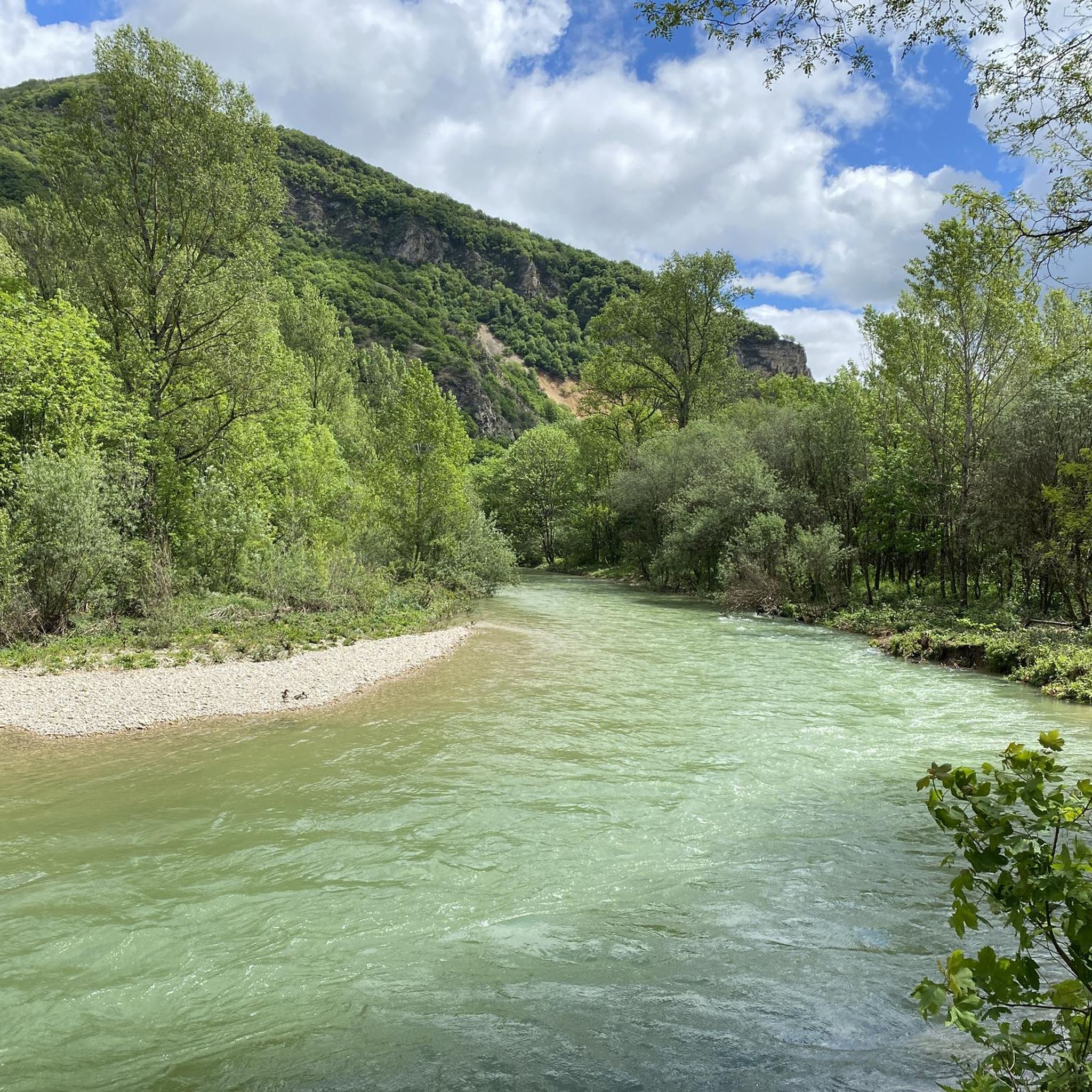
Gravel biking around Bettant offers diverse terrain within the Ain department of France. The region is characterized by the Albarine Plain, with the Albarine River marking its northern and eastern boundaries. To the south, the landscape gradually ascends towards the Montagne de Colloverge, transitioning into the Jura Mountains. This geographical variety provides a mix of river plains, mountain flanks, and gorges, suitable for varied gravel biking experiences.
Best gravel bike trails around Bettant
- The most popular gravel bike trail is…
Last updated: October 19, 2026
4.4
(5)
34
riders
Moderate gravel ride. Good fitness required. Mostly paved surfaces. Suitable for all skill levels.
4.0
(1)
5
riders
105km
07:32
1,800m
1,800m
Hard gravel ride. Very good fitness required. Mostly paved surfaces. Suitable for all skill levels.

5
riders
56.7km
04:03
1,060m
1,060m
Hard gravel ride. Very good fitness required. Mostly paved surfaces. Suitable for all skill levels.
7
riders
65.8km
04:23
960m
960m
Hard gravel ride. Very good fitness required. Mostly paved surfaces. Suitable for all skill levels.
9
riders
38.0km
02:08
120m
120m
Moderate gravel ride. Good fitness required. Mostly paved surfaces. Suitable for all skill levels.
Get access to more routes and recommendations from other explorers.
Already have an account?
Our route recommendations are based on thousands of hikes, rides, and runs completed by other people on komoot.
Start today with a free account
Your next adventure awaits.
Tips from the Community

The Sault-Brénaz dam (also called Villebois dam or Sault-Brénaz facility) is an important hydroelectric infrastructure located on the Rhône River. It is situated on the border between the departments of Ain and Isère, mainly near the communes of Sault-Brénaz and Villebois. Commissioned in 1986, this structure was the last major facility built by the Compagnie Nationale du Rhône (CNR) on the upper Rhône.
0
0
The Sault-Brénaz dam (also called Villebois dam or Sault-Brénaz facility) is an important hydroelectric infrastructure located on the Rhône River. It lies on the border between the departments of Ain and Isère, mainly near the communes of Sault-Brénaz and Villebois. Commissioned in 1986, this structure was the last major development built by the Compagnie Nationale du Rhône (CNR) on the upper Rhône.
0
0

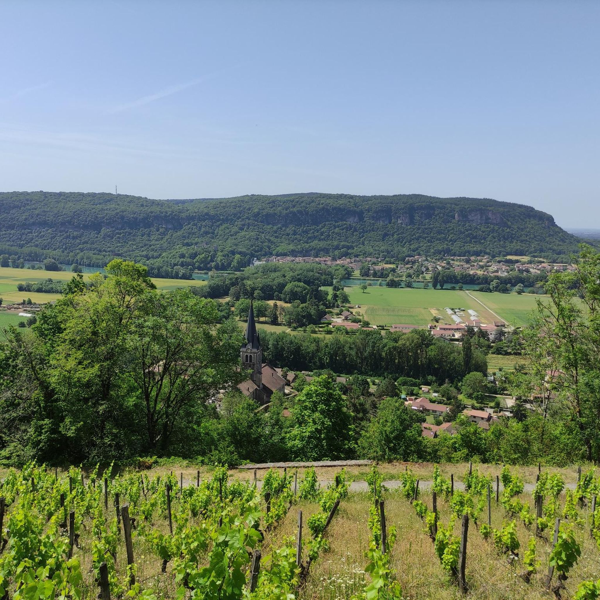
Leisure base opposite Bas Bugey. A pleasant stop, but strangely located between 2 nuclear power plants...
0
0
The Abbey of Ambronay was founded in 800 by Barnard de Romans, a soldier, an officer of Charlemagne, and a future saint canonized in 944. The abbey church, built on the ruins of the Carolingian church, features gargoyles, sculptures, and paintings that will amuse children with their fascinating details. The cloister is a space of serenity that invites meditation: your imagination may perhaps chase some ghostly figures of monks. The visit will end in the gardens where you will discover medicinal plants on the botanical trail. https://www.ain-tourisme.com/visiter-patrimoine/monuments-religieux-a-visiter-dans-l-ain/abbaye-benedictine-dambronay/
1
0

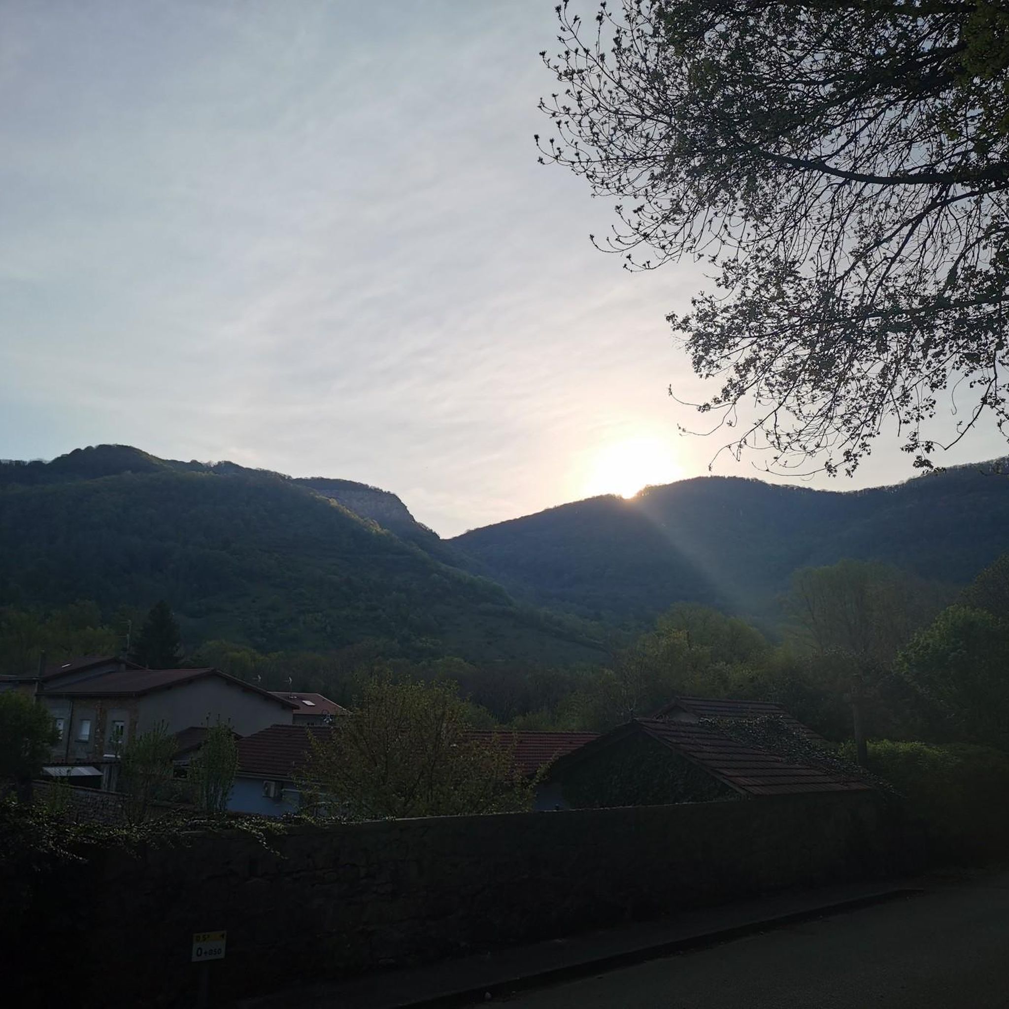
Spectacular! One of the most beautiful views in the region. Incredible sunset.
0
0

Cool during the heatwave while visiting the caves
0
0

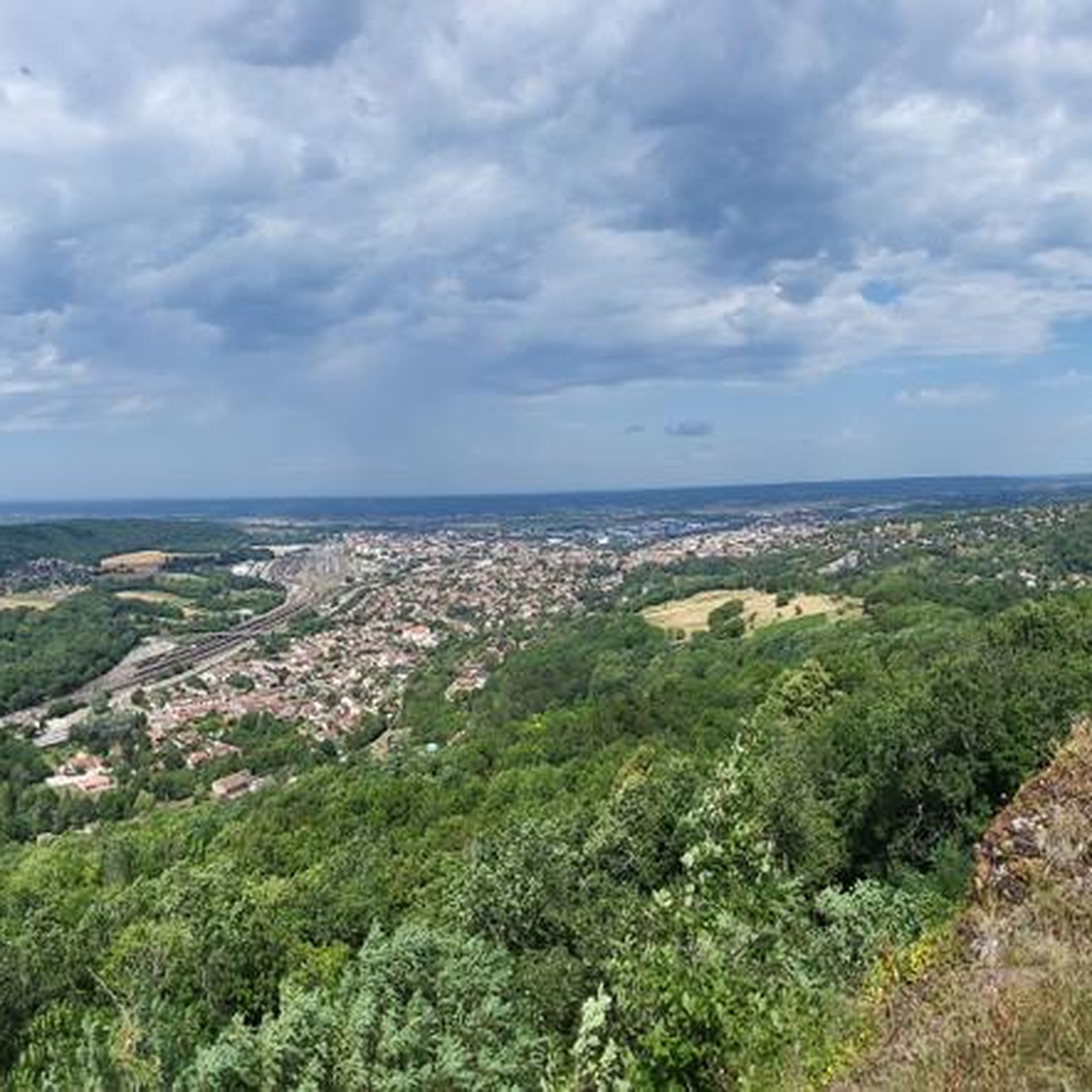
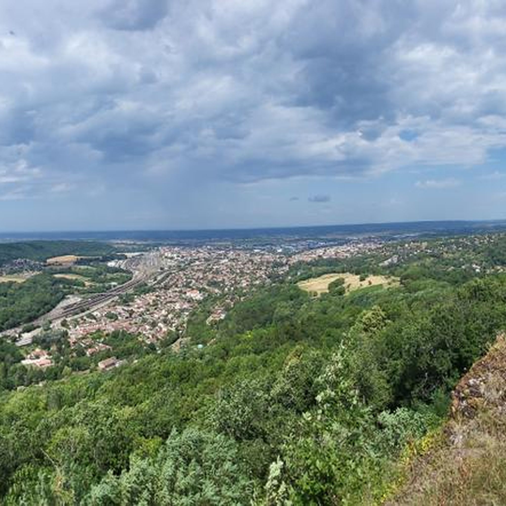
The castle overlooks the Ain plain. A few benches are available for relaxing while admiring the view. It's possible to walk around the castle by continuing along the path past the entrance. It's accessible with a paid ticket, and opening hours vary depending on the season.
0
0
Frequently Asked Questions
How many gravel bike trails are available around Bettant?
Komoot features over 30 gravel bike routes directly around Bettant. The broader Ain department, where Bettant is located, is renowned as a cycling paradise with approximately 2,000 kilometers of certified mountain bike trails that are also well-suited for gravel riding. You can find a diverse range of options, from moderate to challenging, exploring river plains, mountain flanks, and the foothills of the Jura Mountains.
What kind of terrain can I expect on gravel bike trails near Bettant?
Gravel biking around Bettant offers a rich variety of terrain. You'll encounter routes through the Albarine Plain, along the Albarine River, and gradually ascending towards the Montagne de Colloverge, transitioning into the Jura Mountains. This includes a mix of river plains, mountain flanks, and gorges, providing diverse and engaging rides.
Are there any easy or beginner-friendly gravel routes in the Bettant area?
While many routes offer a challenge, there are options suitable for those looking for a less strenuous ride. For instance, the Village Scene Mural – Church loop from Le Tiret is a moderate route covering about 28 kilometers with minimal elevation gain, making it a good choice for beginners or a relaxed outing.
What are some notable landmarks or attractions I can see while gravel biking near Bettant?
Several routes offer views of historical sites and natural beauty. You could cycle past the historic Allymes Castle, explore near the intriguing La Balme Caves, or enjoy the tranquility of Lac Bleu on the Gardon. The region also features viewpoints offering panoramic vistas, such as those along the View of the Saut du Rhône – View of Vertrieu castle loop from Porcieu - Pont de Sault-Brénaz.
Are there any long-distance or challenging gravel routes for experienced riders?
Absolutely. Experienced gravel bikers will find plenty of challenging options. The Allymes Castle – Col du Nivollet loop from Ambérieu-en-Bugey is a difficult 90-kilometer path with significant elevation gain, offering a substantial workout and rewarding views. Another challenging option is the Col de Fay – La Balme Caves loop from Lagnieu, which is over 60 kilometers with considerable climbing.
What do other gravel bikers enjoy most about riding in Bettant?
The gravel routes around Bettant are highly rated by the komoot community, with an average score of 4.6 stars from over 15 reviews. Reviewers often praise the varied terrain, from river plains to mountain flanks, and the opportunity to explore away from crowds. The combination of natural beauty and historical landmarks also receives positive feedback.
Are there circular gravel bike routes available around Bettant?
Yes, many of the gravel bike routes around Bettant are designed as loops, allowing you to start and finish at the same point. Examples include the View of the Saut du Rhône – View of Vertrieu castle loop from Porcieu - Pont de Sault-Brénaz and the Bosse de Vaux-Bettand – Chateau des Allymes loop from Ambutrix, providing convenient options for your ride.
What is the best season for gravel biking in Bettant?
The varied terrain of Bettant makes it suitable for gravel biking across multiple seasons. Spring and autumn generally offer pleasant temperatures and vibrant scenery. While some routes might be accessible in winter, it's always advisable to check local weather conditions and trail status, especially for higher elevations or areas prone to mud.
Are there options for public transport access to gravel trails near Bettant?
Bettant is situated in the Ain department, which has a regional transport network. While specific public transport links directly to trailheads can vary, larger towns like Ambérieu-en-Bugey, often starting points for routes, are typically better connected by regional trains or buses. It's recommended to check local transport schedules for the most up-to-date information when planning your trip.
Can I find routes that pass by cafes or places to stop for refreshments?
Many routes in the Bettant area pass through or near small villages and towns where you can find local cafes, bakeries, or restaurants. While specific cafe stops are not always highlighted on every route, planning your ride through populated areas will increase your chances of finding refreshment opportunities. The region's focus on tourism means amenities are often available in key locations.
Where can I find more information about cycling in the Ain department?
For broader information on cycling, including mountain biking and gravel routes, within the Ain department, you can visit the official tourism website. They offer resources on various itineraries and networks suitable for different cycling disciplines. You can explore more at Ain-Tourisme MTB-Gravel and Ain-Tourisme Road Bikes.
Most popular attractions around Bettant

Get inspired with the komoot mobile app


Explore more
Browse the best Gravel rides in other regions.
