The best gravel rides around Saint-Marcel
4.6
(16)
152
riders
20
rides
Gravel biking around Saint-Marcel, located in the Morbihan region of Brittany, France, offers diverse landscapes for riders. The area features a mix of coastal tracks, paths through Breton moors, and winding roads in the hinterland. Terrain includes forests, grasslands, and routes along rivers like the Oust, providing varied surfaces for gravel cycling. This region is characterized by its natural features and cultural sites, making it suitable for exploring on gravel bikes.
Best gravel bike trails around Saint-Marcel
- The most popular…
Last updated: October 5, 2026
4.5
(2)
26
riders
43.1km
03:21
990m
990m
Hard gravel ride. Very good fitness required. Mostly paved surfaces. Suitable for all skill levels.
4.2
(5)
40
riders
36.4km
03:02
1,160m
1,160m
Hard gravel ride. Very good fitness required. Mostly paved surfaces. Suitable for all skill levels.

6
riders
30.3km
02:54
1,080m
1,080m
Hard gravel ride. Very good fitness required. Mostly paved surfaces. Suitable for all skill levels.
5.0
(2)
13
riders
Hard gravel ride. Very good fitness required. Mostly paved surfaces. Suitable for all skill levels.
5.0
(1)
25
riders
49.0km
04:00
1,560m
1,560m
Hard gravel ride. Very good fitness required. Mostly paved surfaces. Suitable for all skill levels.
Get access to more routes and recommendations from other explorers.
Already have an account?
Our route recommendations are based on thousands of hikes, rides, and runs completed by other people on komoot.
Start today with a free account
Your next adventure awaits.
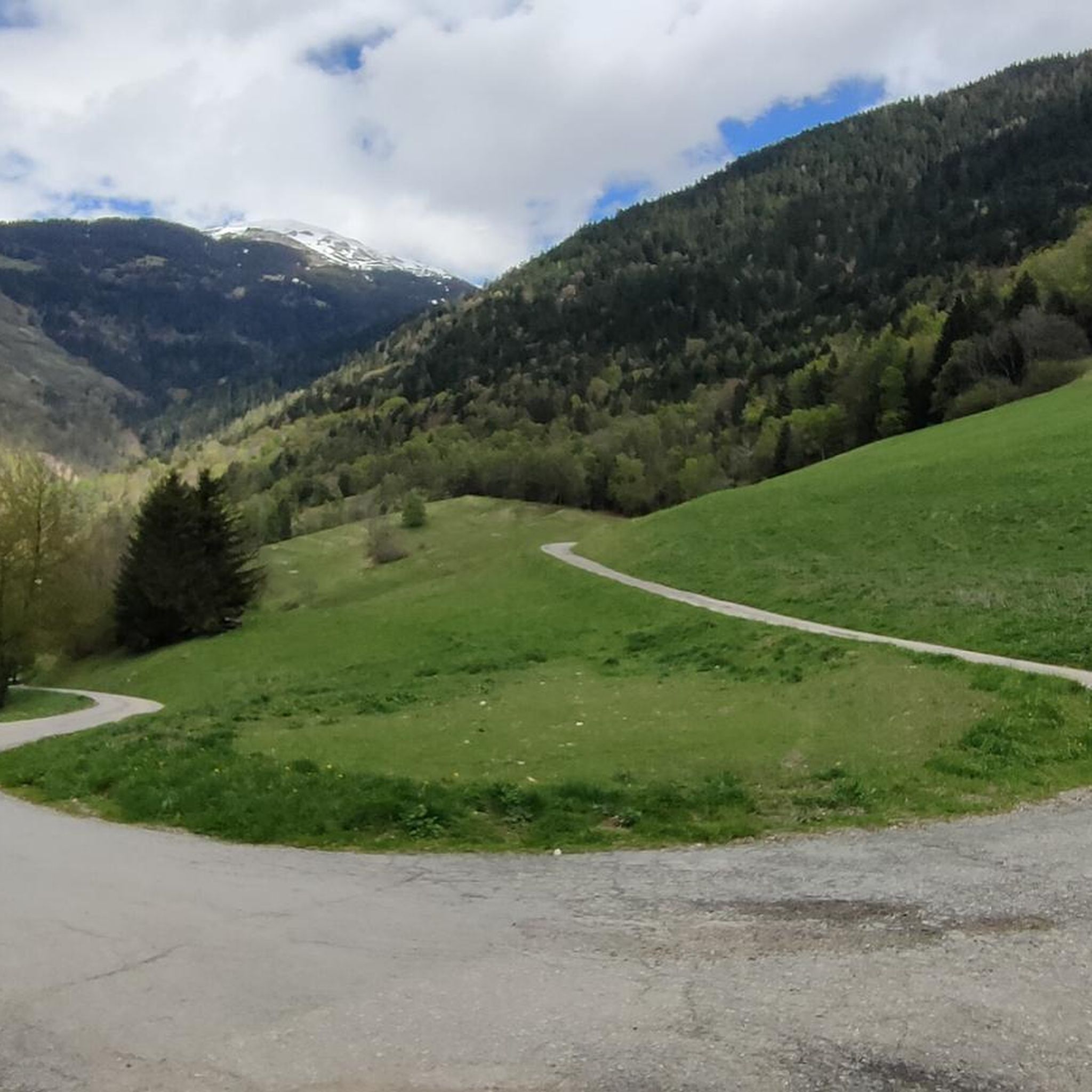
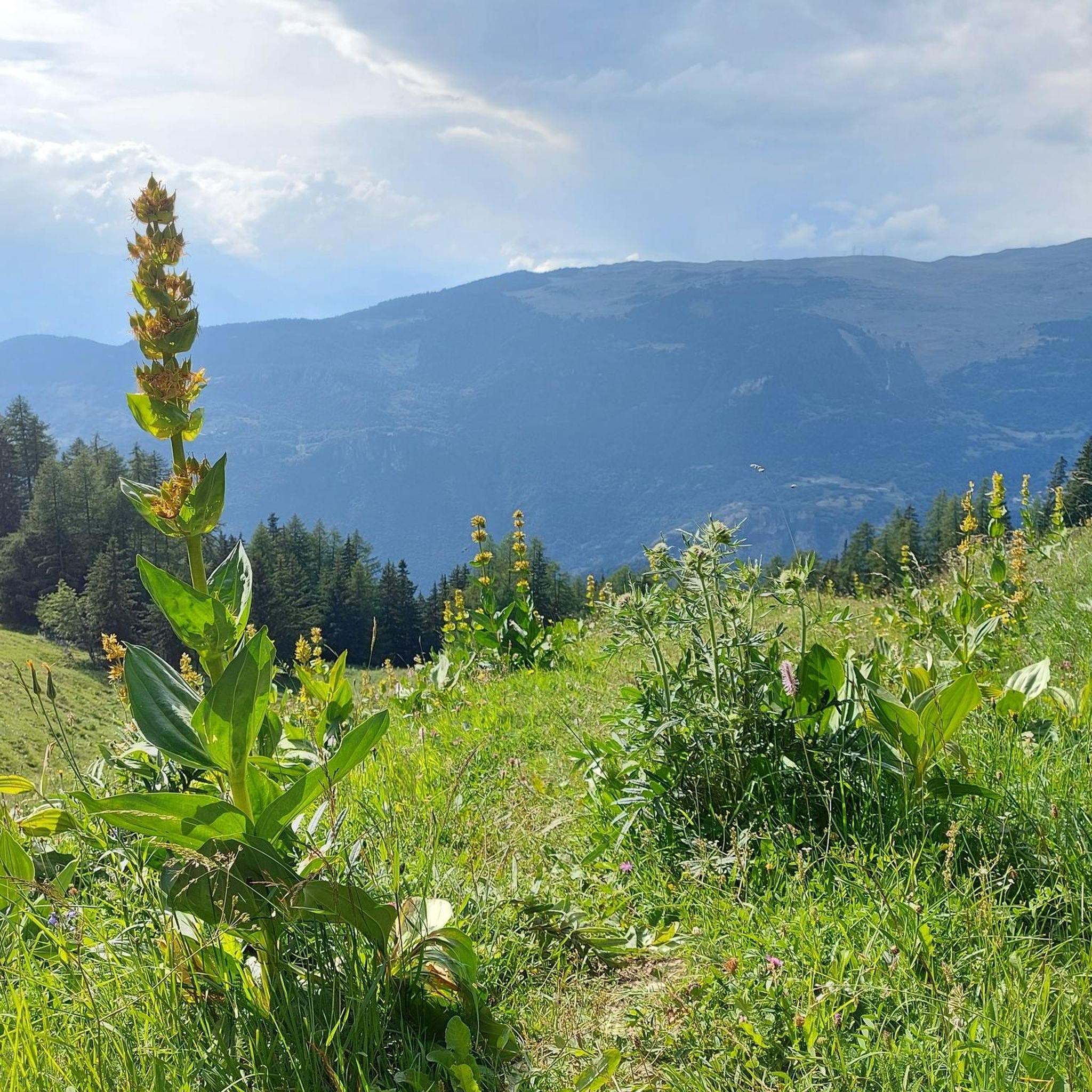
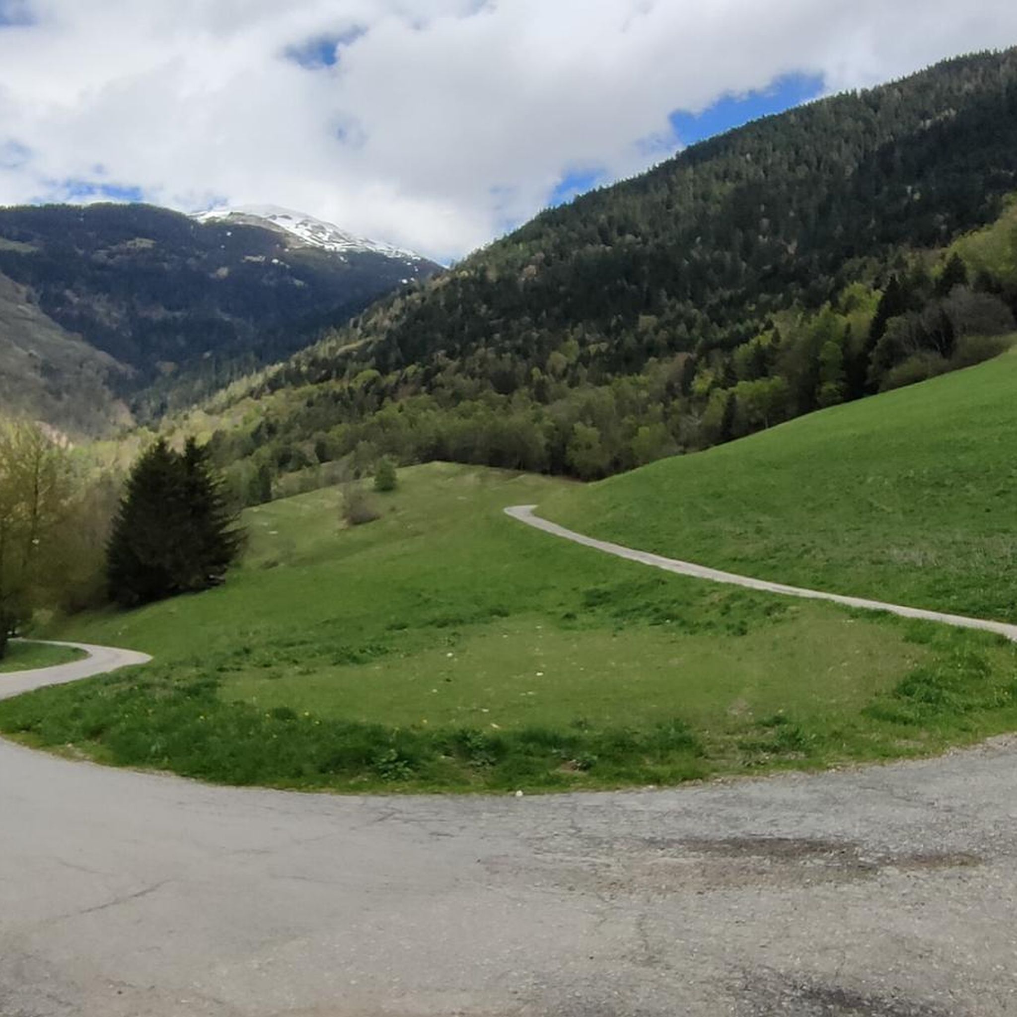
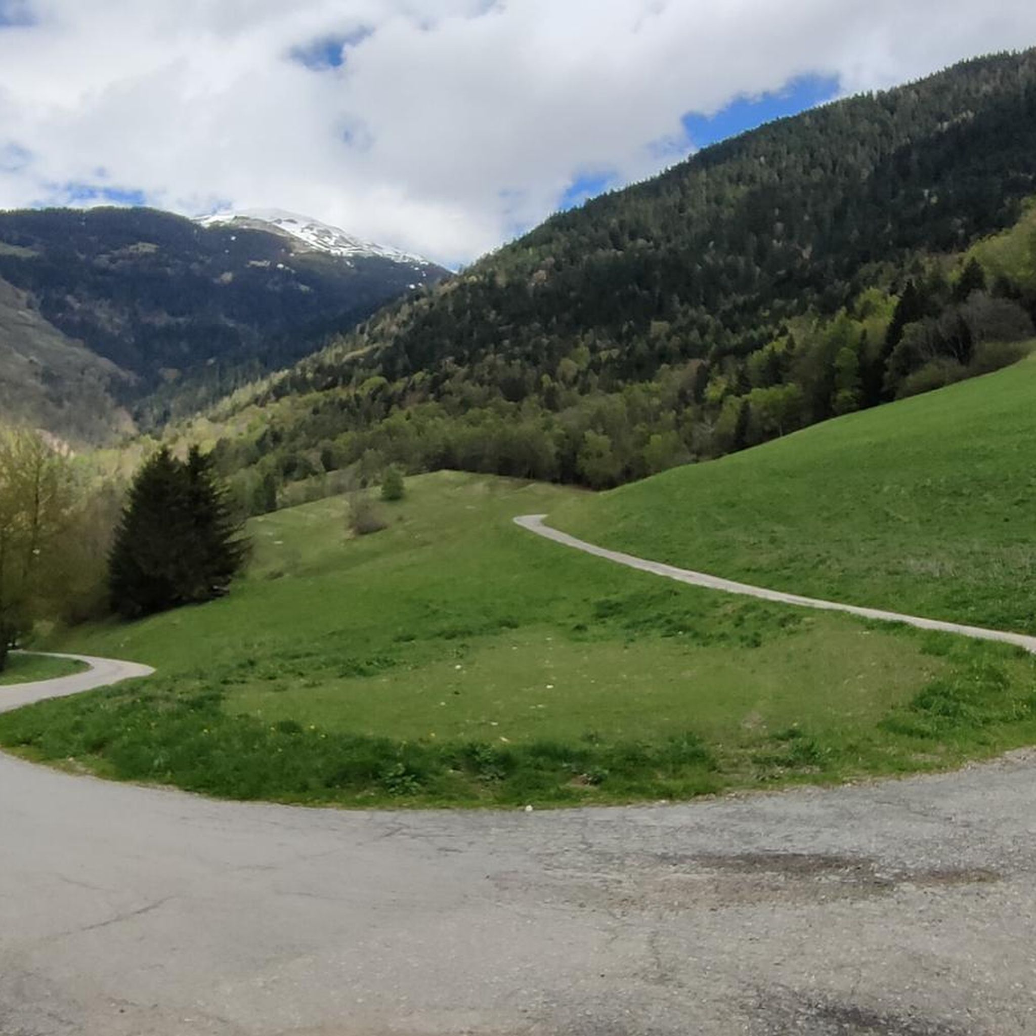

Tips from the Community

A beautiful cycle path along the river Isere
0
0

Part of the cycle path with uneven climbs, beautiful views.
2
0
Place on the D915, already suffering from through traffic. Some nice corners and a water source at the town hall.
3
0
Beautiful cycle path, uneven climbs.
0
0
Path with cycle path and great views. Ascent partly uneven. More info: https://de.wikipedia.org/wiki/Col_de_la_Loze?wprov=sfla1
2
0
Great views and great cycle path. More info: https://de.wikipedia.org/wiki/Col_de_la_Loze?wprov=sfla1
2
0
In winter probably a ski slope, in summer luckily a bike path.
2
0

It allows you to go from Bourg Saint-Maurice to Moutiers away from the road except for two points.
0
0
Frequently Asked Questions
What kind of terrain can I expect on gravel bike trails around Saint-Marcel?
The Saint-Marcel area, situated in the Morbihan region of Brittany, offers a rich variety of terrains for gravel biking. You'll encounter coastal tracks, paths winding through Breton moors, and winding roads in the hinterland. Routes often traverse forests, grasslands, and follow rivers like the Oust, providing a dynamic and engaging experience.
Are there any challenging gravel bike routes in Saint-Marcel?
Yes, the gravel bike routes around Saint-Marcel are generally considered challenging. For instance, the Roselend Chapel – Roselend Dam loop from Aime is a demanding 56.9-mile (91.6 km) trail with significant elevation gain. Similarly, the Col de la Loze Summit (2304 m) – Route du Col de la Loze loop from La Perrière is a difficult 23.4-mile (37.7 km) path featuring substantial climbs and descents.
Are there any circular gravel bike routes available?
Yes, many of the gravel bike routes around Saint-Marcel are designed as loops, allowing you to start and end at the same point. An example is the Notre-Dame des Neiges Chapel – Bozel loop from Bozel, which is an 18.5-mile (29.8 km) trail through varied terrain.
What are some notable natural features or landmarks I might see on a gravel bike ride?
The region is rich in natural beauty and historical sites. You can explore the diverse landscapes of the Lanvaux Moors, featuring forests and grasslands, or ride along the scenic Oust River. For impressive viewpoints, consider routes that pass near the Col de la Loze Summit (2304 m) or Mont Saint Jacques (2100 m). The area is also known for its megalithic sites, adding a historical dimension to your ride.
How long do gravel bike routes typically take to complete in this area?
The duration varies significantly depending on the route's length and difficulty. For example, the challenging Roselend Chapel – Roselend Dam loop from Aime can take around 9 hours. A shorter, but still difficult, option like the Le Forperet – Bobsleigh track 1992 Olympics loop from Le Chanteloup might take approximately 1 hour 40 minutes.
What do other gravel bikers enjoy most about Saint-Marcel?
The area is highly rated by the komoot community, with an average score of 5.0 stars from over 7 reviews. Reviewers often praise the diverse terrains, which include river paths, forested sections, and open moorland, offering varied options for different ability levels and ensuring a fulfilling and adventurous experience.
Are there any attractions or towns near the gravel trails where I can stop?
Yes, the charming town of Malestroit, labeled a 'city of character,' is nearby. It offers a historic center with half-timbered houses, stone facades, and historic churches, making it a delightful stop for cyclists. The regional capital, Vannes, also provides a medieval charm with its castle and ramparts, and serves as a starting point for many routes.
What are some other mountain peaks or passes accessible from Saint-Marcel for gravel biking?
Beyond the Col de la Loze Summit (2304 m), you can explore other significant points like Valmorel Summit Ascent (1300 m) or the Pas des Brebis. These offer challenging climbs and rewarding views, characteristic of the region's mountainous terrain.
Is Saint-Marcel suitable for beginner gravel bikers?
While the listed routes in Saint-Marcel are generally rated as 'difficult' due to significant elevation changes and varied terrain, the broader Morbihan region does offer some more accessible options. For instance, coastal routes like the Véloroute 45 ('Littorale') are largely asphalt and rolling tracks, relatively flat and suitable for various fitness levels, though these might be further from Saint-Marcel itself.
Are there any routes that feature water bodies like rivers or lakes?
Absolutely. The Oust River and its locks provide scenic routes for cycling, with towpaths utilized by cyclists on the Nantes to Brest route. You can find loops like the 'Oust River and Its Locks – Magpie Island loop' from Pleucadeuc, offering picturesque views along the waterways.
Where can I find accommodation if I plan a multi-day gravel biking trip?
The Campsite 'Les Rives de l'Oust,' located on a towpath by the Oust River, offers a convenient base for exploring the area. It provides spacious pitches and various accommodations in a quiet, natural setting, ideal for gravel bikers.
What is the best time of year to go gravel biking in Saint-Marcel?
While the guide doesn't specify a 'best' season, the diverse landscapes of Morbihan, including forests, grasslands, and coastal areas, are generally most enjoyable for outdoor activities during spring, summer, and early autumn when the weather is milder and nature is in full bloom.
Most popular routes around Saint-Marcel
Most popular attractions around Saint-Marcel

Get inspired with the komoot mobile app


Explore more
Browse the best Gravel rides in other regions.
