The best gravel rides around Oberwiese
41
riders
14
rides
Gravel biking around Oberwiese offers a diverse landscape characterized by forests, open fields, and historical points of interest. The region features a mix of rolling terrain and some more challenging ascents, providing varied experiences for gravel cyclists. Routes often traverse natural areas and connect to local landmarks, making for engaging rides.
Best gravel bike trails around Oberwiese
- The most popular gravel bike trail is View of the Bisten – Parc de la Bisten loop from Longeville-lès-Saint-Avold, a 27.6 miles…
Last updated: August 26, 2026
17
riders
Moderate gravel ride. Good fitness required. Mostly paved surfaces. Suitable for all skill levels.
11
riders
54.7km
04:02
450m
450m
Moderate gravel ride. Good fitness required. Mostly paved surfaces. Suitable for all skill levels.

Sign up for free
4
riders
31.4km
02:25
330m
330m
Moderate gravel ride. Good fitness required. Mostly paved surfaces. Suitable for all skill levels.
5
riders
59.3km
03:40
530m
530m
Hard gravel ride. Very good fitness required. You may need to push your bike for some segments of this route.
5
riders
Moderate gravel ride. Good fitness required. Mostly paved surfaces. Suitable for all skill levels.
Get access to more routes and recommendations from other explorers.
Sign up for free
Already have an account?
Our route recommendations are based on thousands of hikes, rides, and runs completed by other people on komoot.
Start today with a free account
Your next adventure awaits.
Login or Signup
Tips from the Community


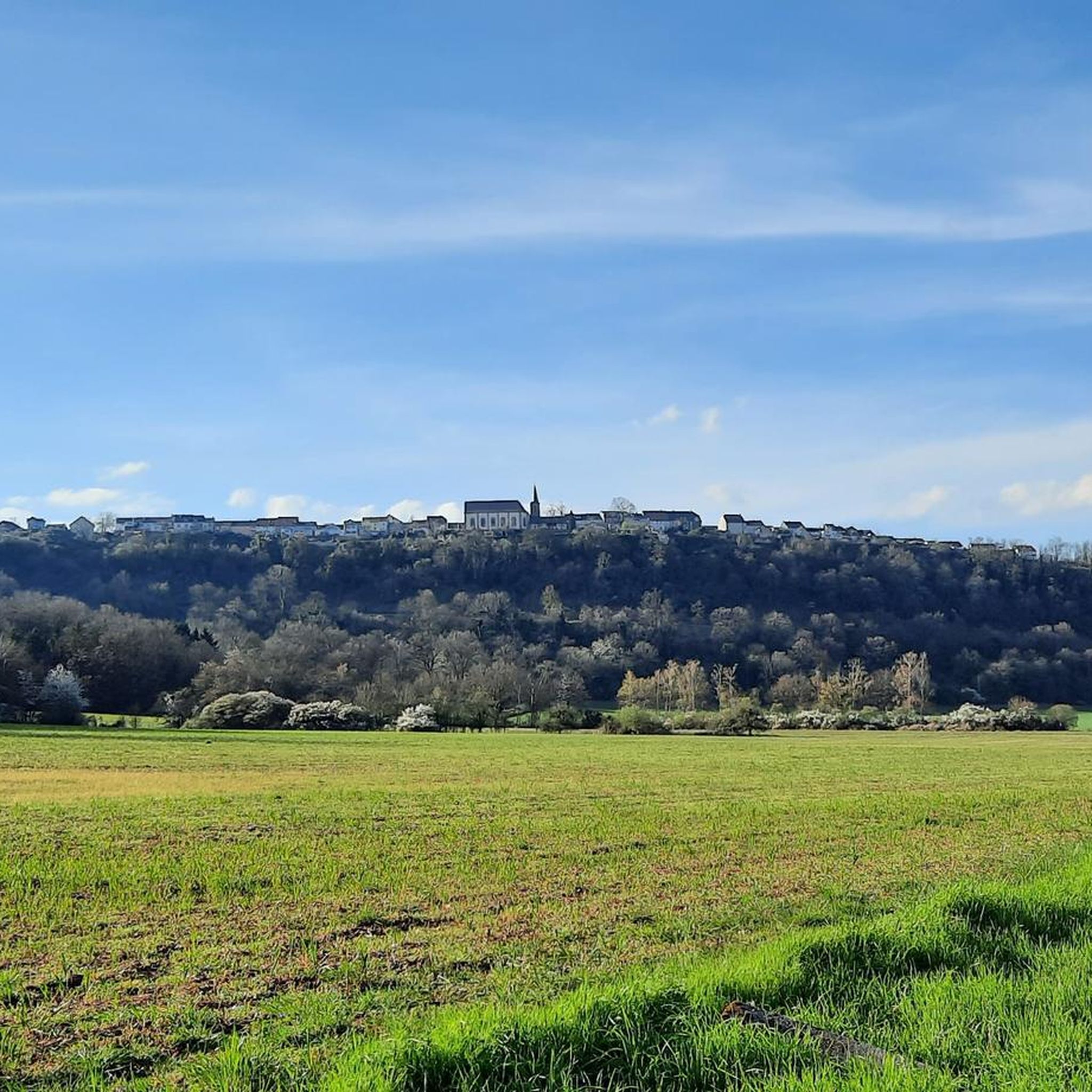
A popular vantage point and landmark of the municipality of Überherrn is the monument 'For the Great Europeans'
1
0


The Maginot Line: The French Wall | ARTE https://youtu.be/Bvtxa08ysgc For those who would like to know more about the Maginot Line: de.wikipedia.org/wiki/Liste_der_Ouvrages_der_Maginot-Linie
1
0

Excellent playground with many forest paths. Not far away, the Hussards hill has several mountain bike trails.
0
0

The Bisten is a charming river that widens at this point to offer a beautiful view of a body of water in the middle of the woods.
0
0
The Hussards hill is a beautiful place for mountain biking. Several circuits are available at its entrance.
0
0
Frequently Asked Questions
What is the general difficulty level of gravel bike trails in Oberwiese?
Gravel biking in Oberwiese primarily offers moderate to difficult routes. There are 10 moderate trails and 7 difficult trails, making it more suitable for riders with some experience rather than absolute beginners.
What are the typical distances for gravel bike trails in Oberwiese?
The gravel bike trails in Oberwiese generally range from approximately 32 to 60 kilometers (20 to 37 miles) in length. For example, the View of the Bisten – Parc de la Bisten loop from Longeville-lès-Saint-Avold is about 44 km, while the Europe Monument, Berus – Warndtweiher loop from Forbach-Boulay-Moselle is nearly 60 km.
Are there any circular gravel bike routes in Oberwiese?
Yes, many of the gravel bike trails in Oberwiese are designed as loops, allowing you to start and finish at the same point. Examples include the Crossroads Oderfang – Rocher de l’Edelweiss loop from Longeville-lès-Saint-Avold and the Maginot Line Kerfent Outpost 1 – Crossroads Oderfang loop from Bambiderstroff.
What kind of terrain can I expect on gravel bike trails around Oberwiese?
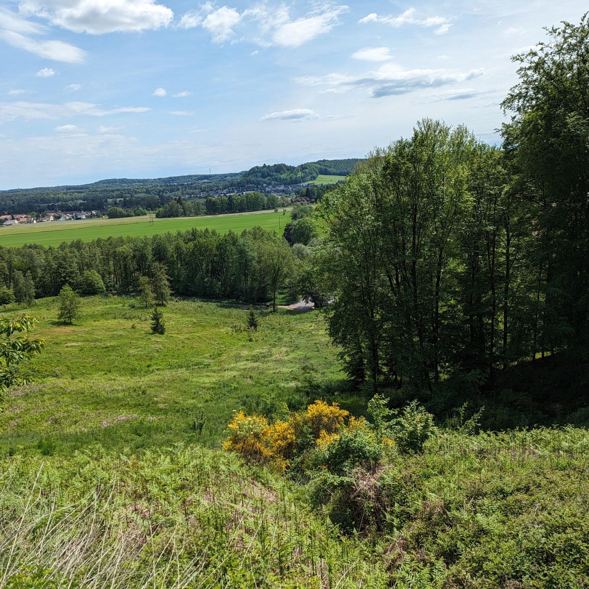
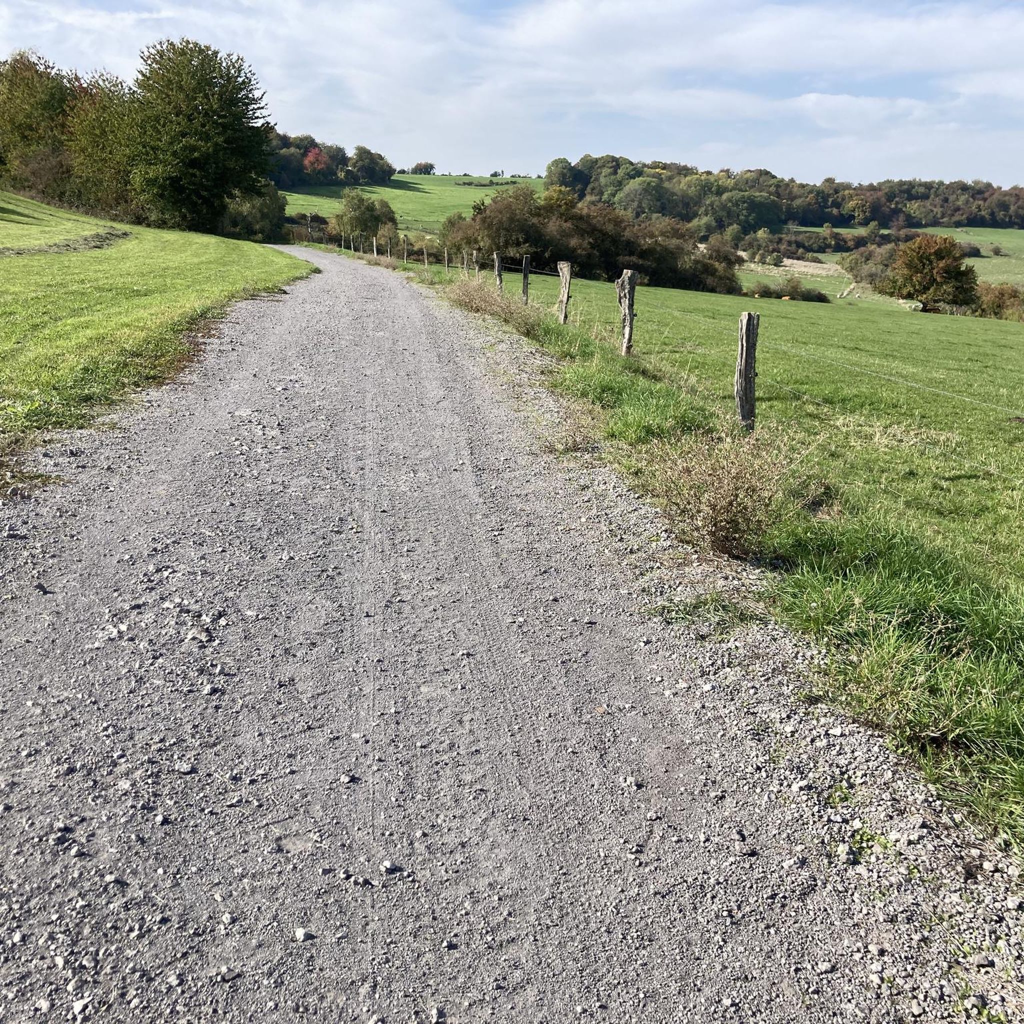
The region offers a diverse landscape with dense woodlands, open agricultural lands, and some rolling terrain with ascents. You'll encounter a mix of natural paths and historical sites, providing varied experiences.
What historical sites or landmarks can I see along the gravel bike trails?
Several routes connect to historical sites. You might pass by the Lorraine American Cemetery and Memorial, the Maginot Line, or the Saint-Nabor Abbey Church of Saint-Avold. The Europe Monument, Berus – Warndtweiher loop from Forbach-Boulay-Moselle specifically highlights historical sites.
Where can I find parking when gravel biking in Oberwiese?
For some routes, you can find convenient parking. For instance, the Parc de la Bisten is a known parking location that can serve as a starting point for rides in that area.
Is Oberwiese suitable for family gravel biking with children?
Given that all gravel bike routes in Oberwiese are rated as moderate to difficult, they might be challenging for younger children or families looking for very easy, flat rides. It's best suited for families with older, experienced riders.
What do other gravel bikers enjoy most about gravel biking in Oberwiese?
The area is highly rated by the komoot community, with an average score of 5.0 stars. Riders often praise the diverse landscape, which combines dense woodlands, open fields, and the opportunity to explore historical points of interest.
Are there any routes that pass by natural water features like ponds or lakes?
Yes, some routes incorporate natural water features. The Warndtweiher – Warndt Pond loop from Lorraine American Cemetery and Memorial, for example, explores the area around the Warndtweiher (Warndt Pond).
How many gravel bike trails are available in Oberwiese?
There are 17 gravel bike trails available in the Oberwiese region, offering a good selection for various preferences, primarily in the moderate to difficult categories.
Can I access the gravel bike trails in Oberwiese using public transport?
Information on direct public transport access to specific trailheads is not readily available. It is generally recommended to use a car to reach the starting points of the gravel bike routes in Oberwiese, especially for flexibility.
Are there any cafes or refreshment stops along the gravel bike routes?
While specific cafes are not highlighted for every route, many trails pass through or near small towns and villages where you can typically find local establishments for refreshments. Planning your route with potential stops in mind is advisable.
Most popular attractions around Oberwiese

Get inspired with the komoot mobile app


Explore more
Browse the best Gravel rides in other regions.
