The best gravel rides around Arronnes
4.9
(19)
170
riders
12
rides
Gravel biking around Arronnes offers routes through the Montagne Bourbonnaise, characterized by its verdant, gently undulating landscapes. The region features extensive wooded hills, rolling prairies, and varied topography, with altitudes ranging from 330m to 597m. This mid-mountain area provides a diverse riding experience across both paved and unpaved segments.
Best gravel bike trails around Arronnes
- The most popular gravel bike trail is View of Vichy – Via Allier loop from Saint-Yorre, a 34.3 miles (55.3 km) trail that takes…
Last updated: July 3, 2026
4.7
(7)
55
riders
55.9km
03:26
190m
190m
Moderate gravel ride. Good fitness required. Mostly paved surfaces. Suitable for all skill levels.
4.9
(10)
73
riders
27.9km
01:32
80m
80m
Easy gravel ride. Great for any fitness level. Mostly paved surfaces. Suitable for all skill levels.

Sign up for free
5.0
(1)
12
riders
50.9km
03:05
230m
230m
Moderate gravel ride. Good fitness required. Mostly paved surfaces. Suitable for all skill levels.
3
riders
24.5km
02:04
610m
610m
Hard gravel ride. Very good fitness required. Mostly paved surfaces. Suitable for all skill levels.
2
riders
15.5km
01:27
480m
480m
Hard gravel ride. Very good fitness required. Mostly paved surfaces. Suitable for all skill levels.
Get access to more routes and recommendations from other explorers.
Sign up for free
Already have an account?
Our route recommendations are based on thousands of hikes, rides, and runs completed by other people on komoot.
Start today with a free account
Your next adventure awaits.
Login or Signup
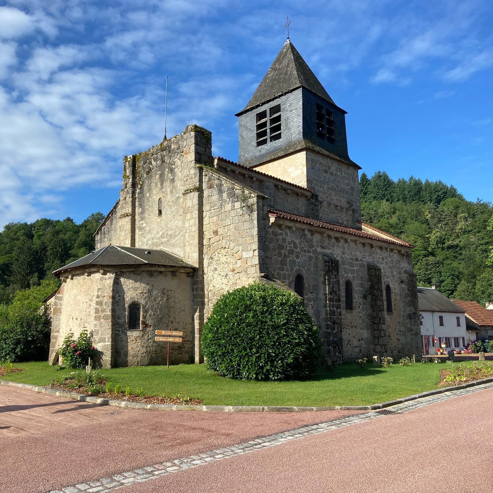
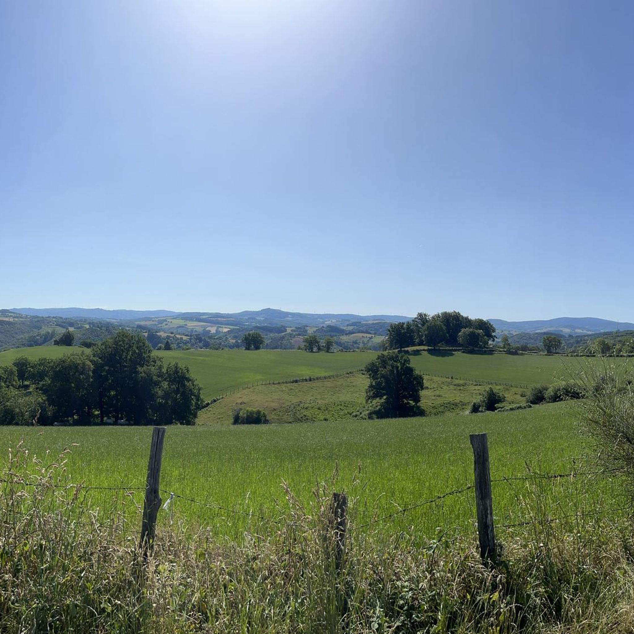
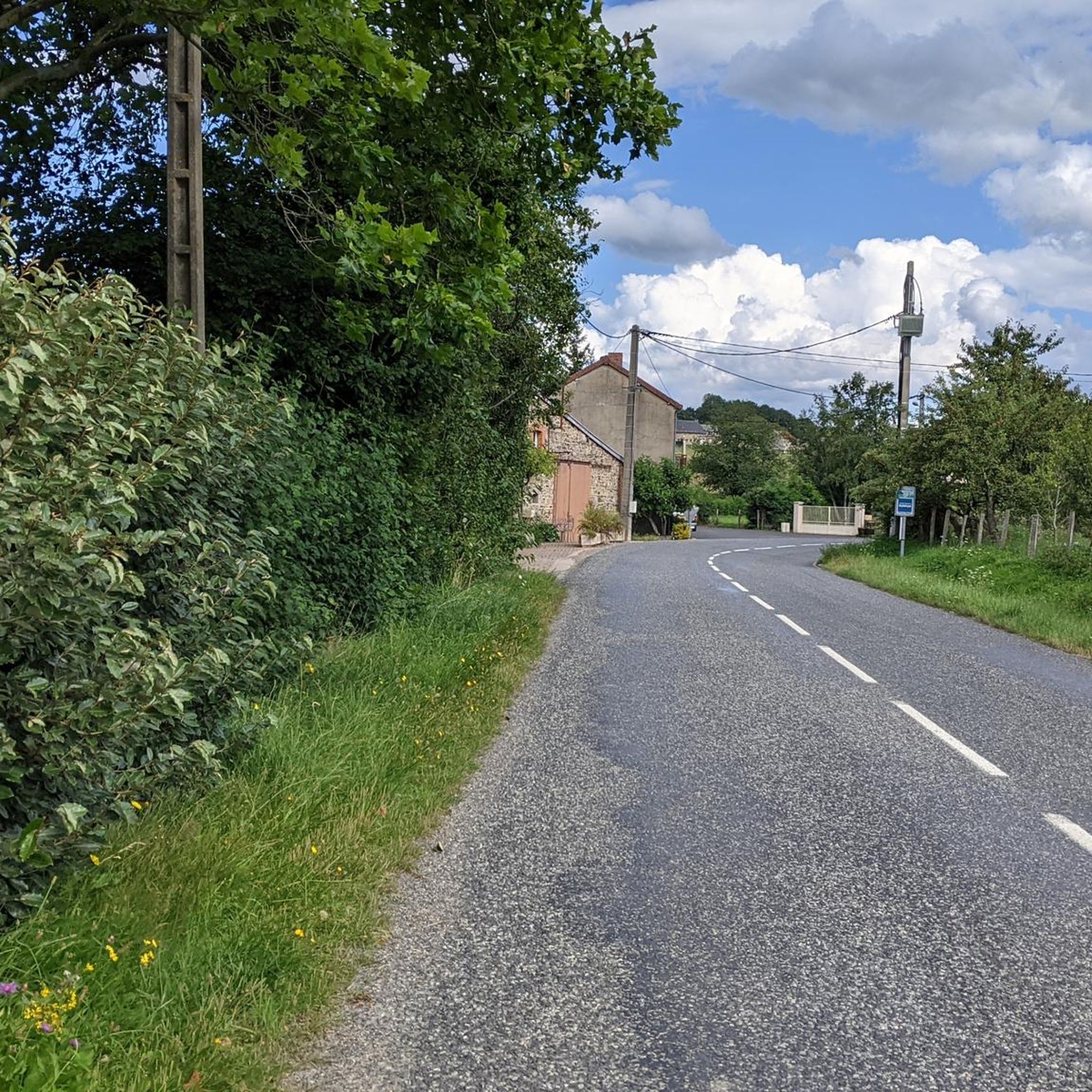
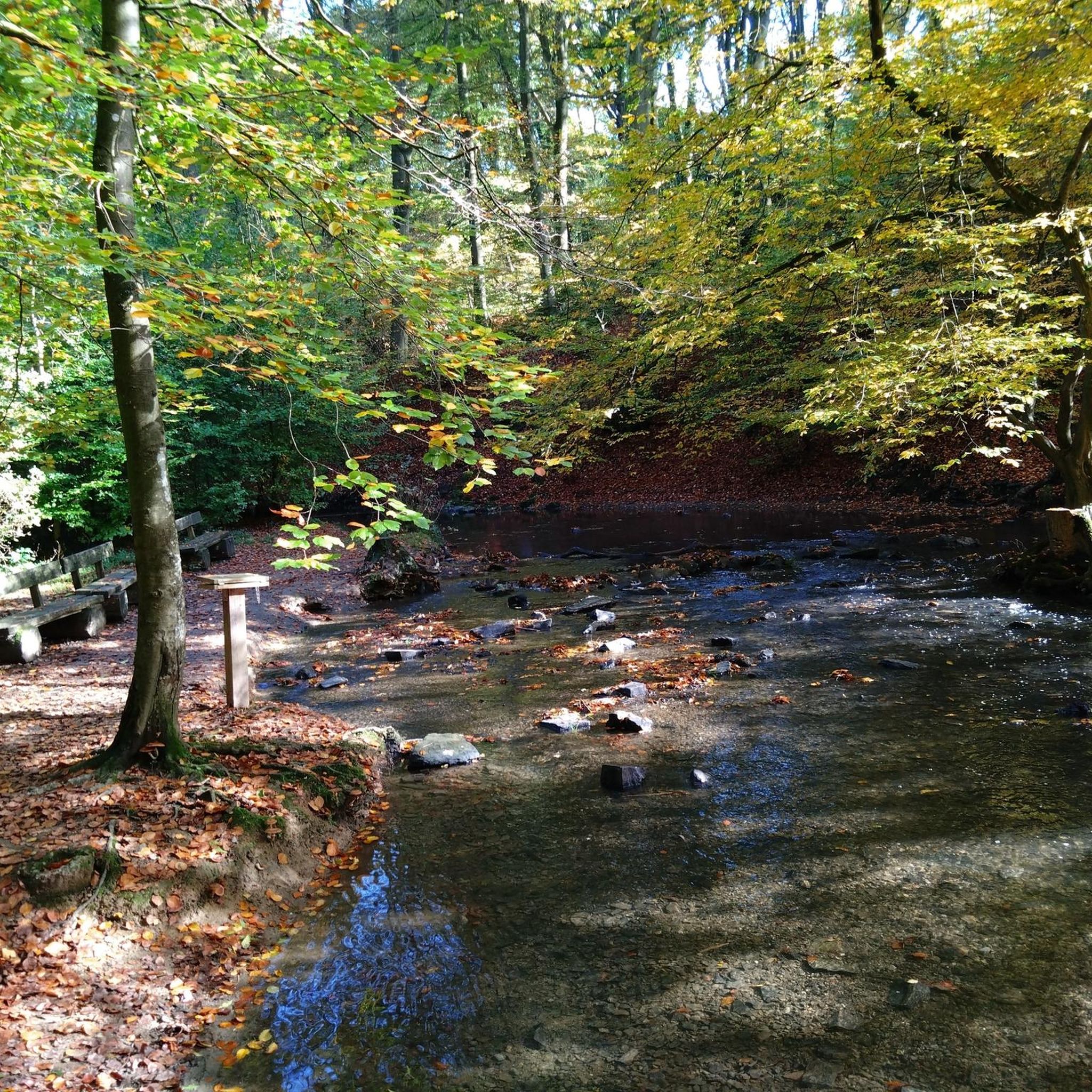
Tips from the Community

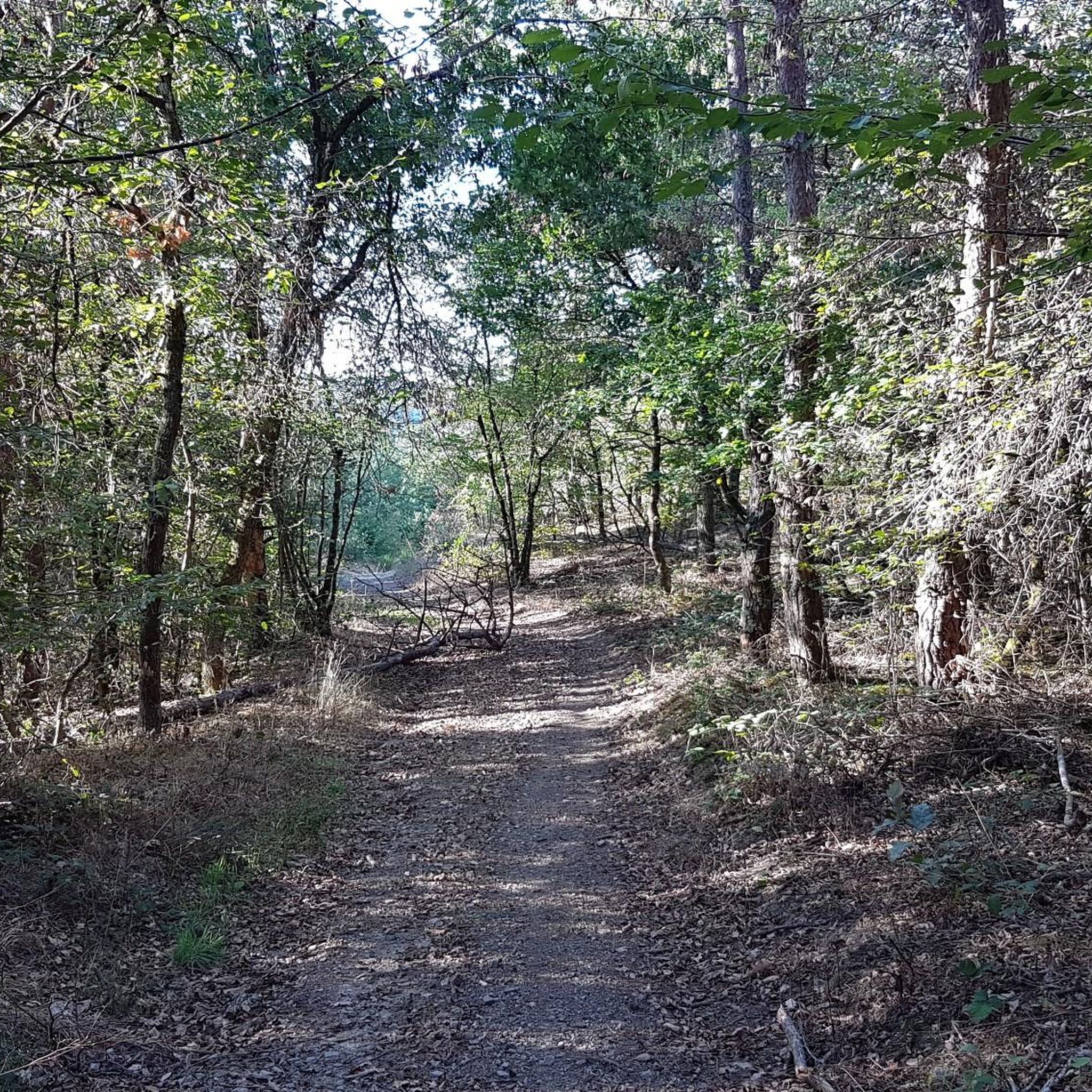
A beautiful area with, by French standards, excellent cycle paths, occasionally some potholes etc. for a bike with 5cm tires a nice tour in this lovely country.
0
0


Beautiful scenery, but the bike path could be better. Unfortunately, it's not paved. With luggage, it's mostly muddy after rain.
4
0

Healing water bubbles from many taps here. You can also bring your own bottle to take home.
1
0
Frequently Asked Questions
What kind of terrain can I expect on gravel bike trails around Arronnes?
The gravel bike trails around Arronnes traverse the Montagne Bourbonnaise, offering a diverse experience. You'll encounter a mix of wooded hills, rolling prairies, and varied topography. The region's altitude ranges from 330m to 597m, with the broader Montagne Bourbonnaise reaching up to 1,287 meters at Puy de Montoncel, ensuring a good variety of climbs and descents across both paved and unpaved segments.
Are there any easy gravel bike routes suitable for beginners or families?
Yes, Arronnes offers several easy gravel routes. For a more relaxed ride, consider The Pavillon des Célestins – View of Vichy loop from Saint-Yorre. This 22.2 km path is rated easy and provides scenic views towards Vichy, passing by the Pavillon des Célestins. Another easy option is Allier – View of Vichy loop from Abrest, which is 21.1 km long.
What are some scenic viewpoints or natural attractions I can visit while gravel biking near Arronnes?
The Montagne Bourbonnaise is rich in natural beauty. You can find spectacular panoramas throughout the region. Specific natural attractions include the Creux de Saillant Waterfall and the Panorama of Rez de Sol. The region also features the Saint-Vincent Rock and the Gorges of the Credogne, offering diverse natural sights.
Are there any historical landmarks or castles along the gravel routes?
Yes, the area around Arronnes is dotted with historical sites. You can explore several castles, including Château de Montgilbert, Châteldon Castle, Château de Busset, and Maulmont Castle. These provide interesting stops and glimpses into the region's heritage during your rides.
What is the best time of year for gravel biking in Arronnes?
The Montagne Bourbonnaise, where Arronnes is located, offers a 'changing color chart' throughout the seasons, making it appealing for gravel biking from spring through autumn. The extensive wooded expanses provide shaded routes during warmer months, while the rolling prairies are beautiful in spring and early summer. For specific seasonal considerations, it's always good to check local weather forecasts closer to your visit.
Are there any longer, more challenging gravel bike loops available?
For a longer and moderately challenging ride, consider the 55.3 km View of Vichy – Via Allier loop from Saint-Yorre. This route offers views of Vichy and follows the Allier river. Another option is the 48.0 km Allier – View of Château de Maulmont loop from Saint-Yorre, which leads through the Allier region with views of Château de Maulmont.
How many gravel bike trails are available around Arronnes?
There are over 10 gravel bike trails available around Arronnes on komoot. These routes cater to various skill levels, with a good mix of easy, moderate, and difficult options to explore the Montagne Bourbonnaise.
What do other gravel bikers enjoy most about gravel biking in Arronnes?
The gravel biking routes in Arronnes are highly rated by the komoot community, with an average score of 4.8 stars from more than 10 reviews. Riders often praise the quiet roads, wild landscapes, and the exceptional heritage found throughout the region, as well as the varied terrain that mixes paved and unpaved segments.
Are there any circular gravel bike routes near Arronnes?
Yes, many of the gravel bike routes around Arronnes are designed as loops, allowing you to start and finish at the same point. Examples include View of Vichy – Via Allier loop from Saint-Yorre and Vichy Springs Park – View of Vichy loop from Puy-Guillaume, which is a 56.7 km moderate route.
Is the region suitable for advanced gravel bikers looking for significant elevation gain?
While Arronnes itself ranges from 330m to 597m, the broader Montagne Bourbonnaise includes the Puy de Montoncel, reaching 1,287 meters. This mid-mountain area offers opportunities for significant elevation gains. The region is known for its varied topography, and routes like the 62-kilometer circuit through Châtel-Montagne and the plateau de la Verrerie, with 1000 meters of elevation gain, indicate the potential for challenging rides for advanced gravel bikers.
Are there options for parking near the gravel bike trails in Arronnes?
Given the region's focus on outdoor recreation and its extensive trail network, you can generally find parking options in or near the starting points of many routes, especially in villages like Saint-Yorre or Abrest, which are common starting points for tours in the area. It's advisable to check specific route details on komoot for designated parking areas.
Most popular attractions around Arronnes

Get inspired with the komoot mobile app


Explore more
Browse the best Gravel rides in other regions.
