The best gravel rides around Taintrux
3.7
(17)
64
riders
19
rides
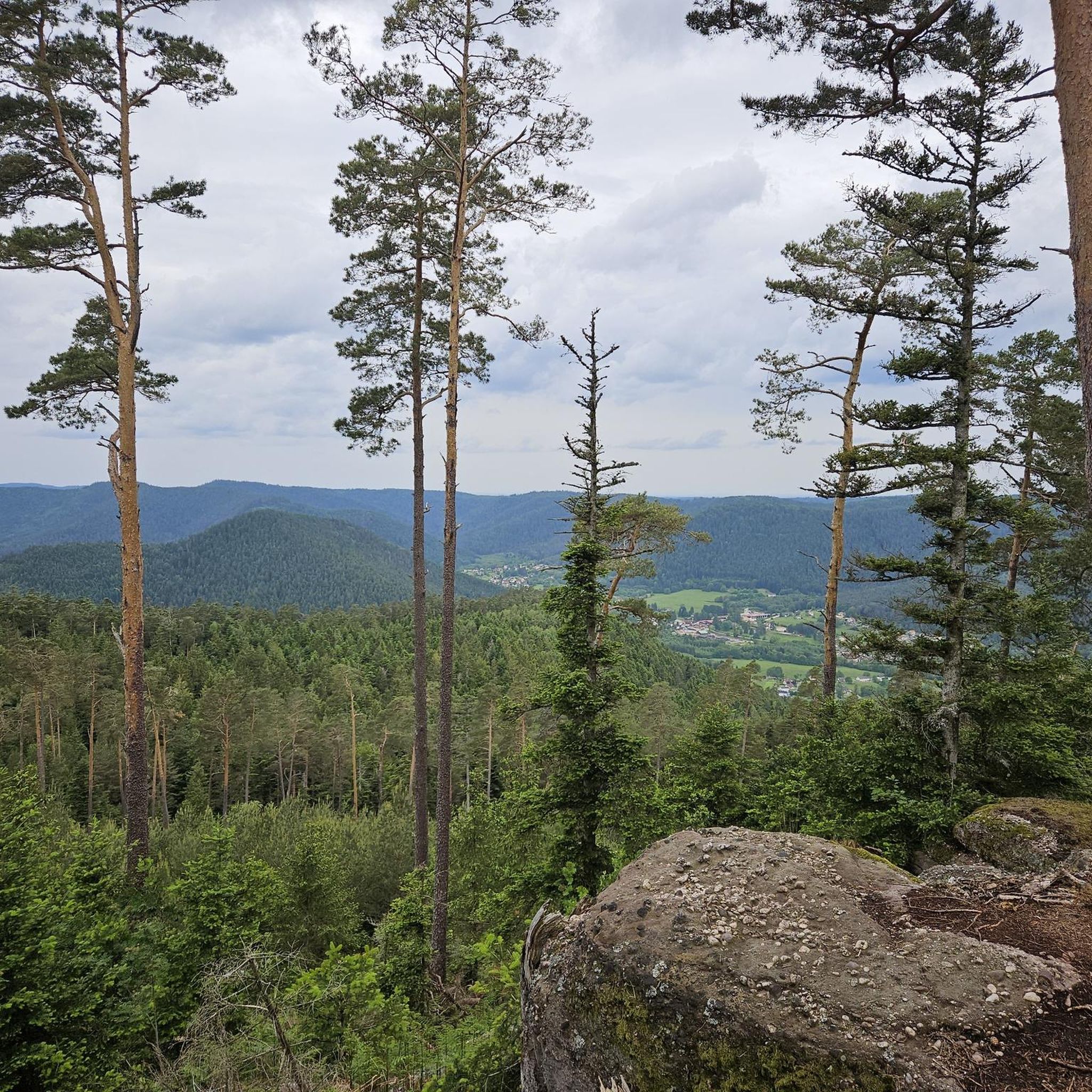
Gravel biking around Taintrux offers diverse landscapes within the Vosges region of France. The area is characterized by a hilly, green environment, featuring the Vosges Mountains with numerous passes and forestière routes. Riders can expect a mix of mostly paved surfaces and unpaved sections, providing varied terrain for different skill levels. The region's elevation changes contribute to both challenging climbs and scenic descents.
Best gravel bike trails around Taintrux
- The most popular gravel bike trail is Col de Bramont –…
Last updated: July 3, 2026
4.0
(2)
9
riders
31.8km
02:11
480m
480m
Hard gravel ride. Very good fitness required. Mostly paved surfaces. Suitable for all skill levels.
5
riders
44.3km
03:20
910m
910m
Hard gravel ride. Very good fitness required. Mostly paved surfaces. Suitable for all skill levels.

Sign up for free
4.0
(1)
5
riders
Moderate gravel ride. Good fitness required. Mostly paved surfaces. Suitable for all skill levels.
3.5
(2)
3
riders
18.8km
01:25
510m
510m
Hard gravel ride. Very good fitness required. Mostly paved surfaces. Suitable for all skill levels.
2
riders
27.5km
02:04
510m
510m
Hard gravel ride. Very good fitness required. Mostly paved surfaces. Suitable for all skill levels.
Get access to more routes and recommendations from other explorers.
Sign up for free
Already have an account?
Our route recommendations are based on thousands of hikes, rides, and runs completed by other people on komoot.
Start today with a free account
Your next adventure awaits.
Login or Signup
Tips from the Community

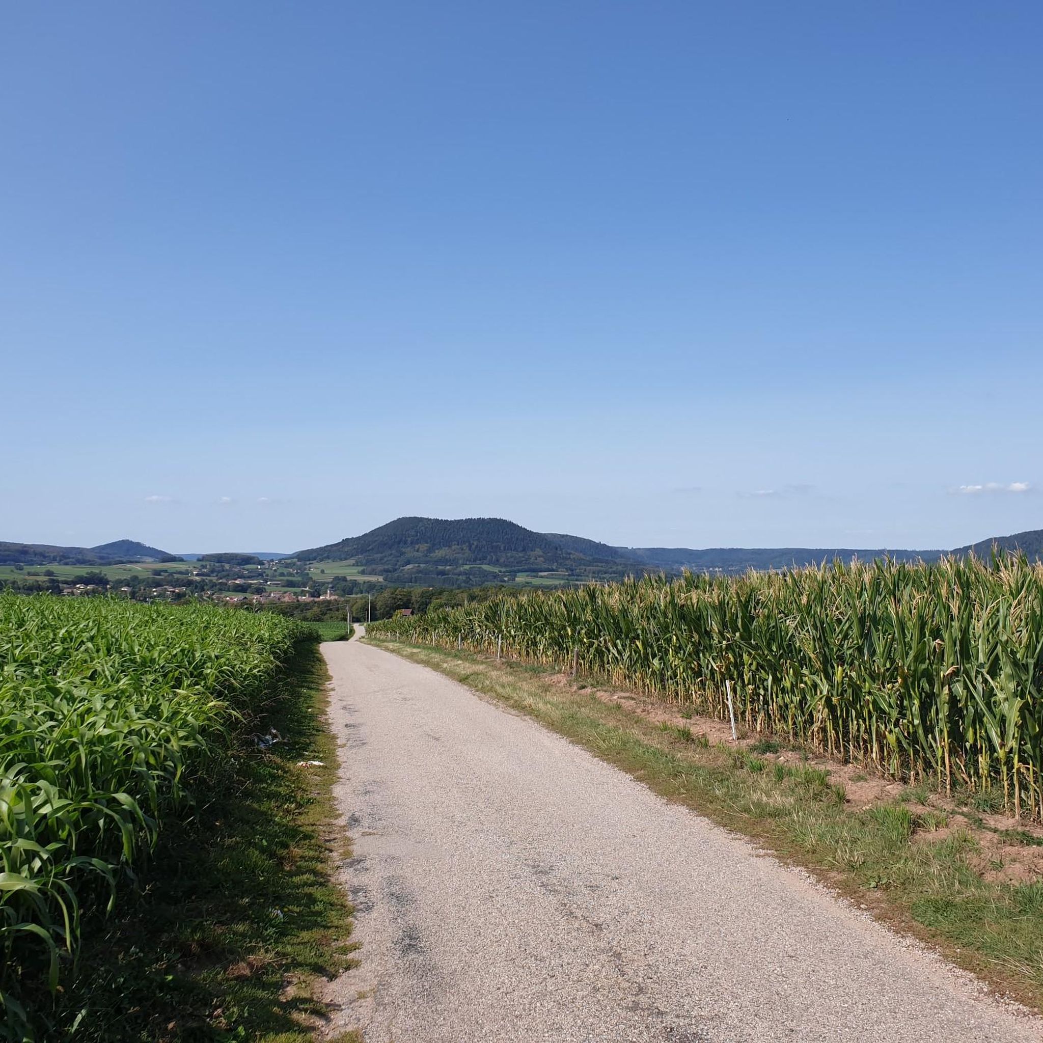
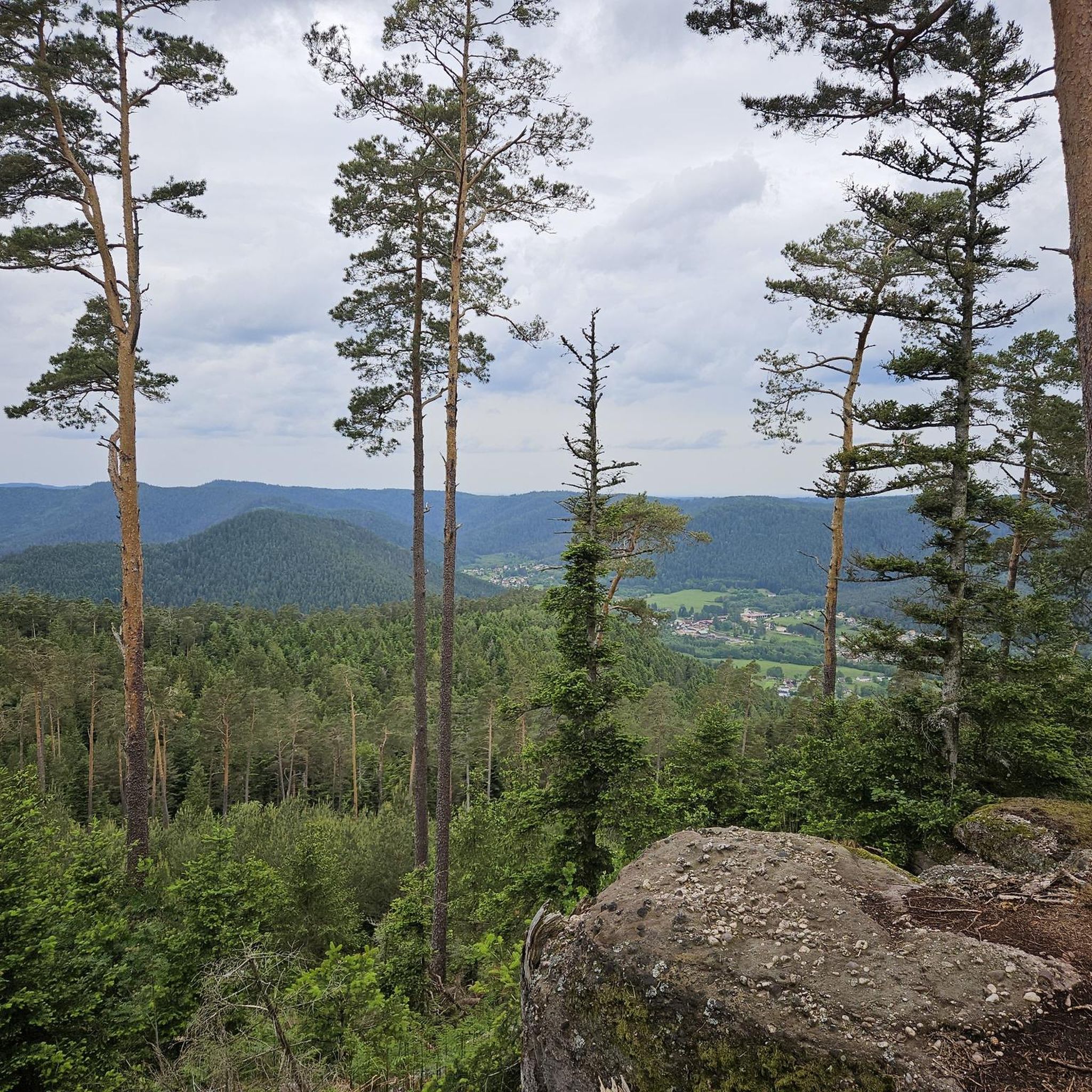
yes up there you have a good view
2
0

Also serves coffee for great prices
0
0

Since the 13th century, a hospice was maintained there by the church. and welcomed pilgrims, travelers and the city's sick. At the request of the inhabitants of this suburb, a church was built there, while a new, more spacious hospital was erected on the right bank of the Meurthe. The church was dedicated to Saint-Martin and was consecrated in 1728. On July 14, 1895, during the National Day fireworks display, the church was set on fire by a rocket which hit the roof covered with fir twigs and burned to the ground. According to the plans of the Parisian architect Heubès, a new Vosges sandstone church was built in the "floral Romanesque" style and consecrated on August 13, 1902.
3
0

Magnificent Roche St Martin
3
1

As early as the 7th century, Deodatus (French Dieudonné), who was revered by the people as a saint, is said to have founded a monastery here, from which a community of canons then developed in the 10th century. At that time the church wore the patron saint of St. Mauritius. The diocese of Saint-Dié was only established in 1777 by Pope Pius VI. († 1799) built. The church building, which was built in different architectural styles, was blown up by the Germans in 1944, destroying the entire nave and the choir area along with their vaults. The reconstruction lasted until 1974; in this year the church was newly consecrated. Most of the stained glass windows were made and inserted in the 1980s. https://en.wikipedia.org/wiki/Cathedral_of_Saint-Di%C3%A9
3
0

The Col d'Arrentes from Corcieux is 3.4 km long with a total drop of 682 m. The average gradient is 4.1% with maximum gradients of 7%.
3
0

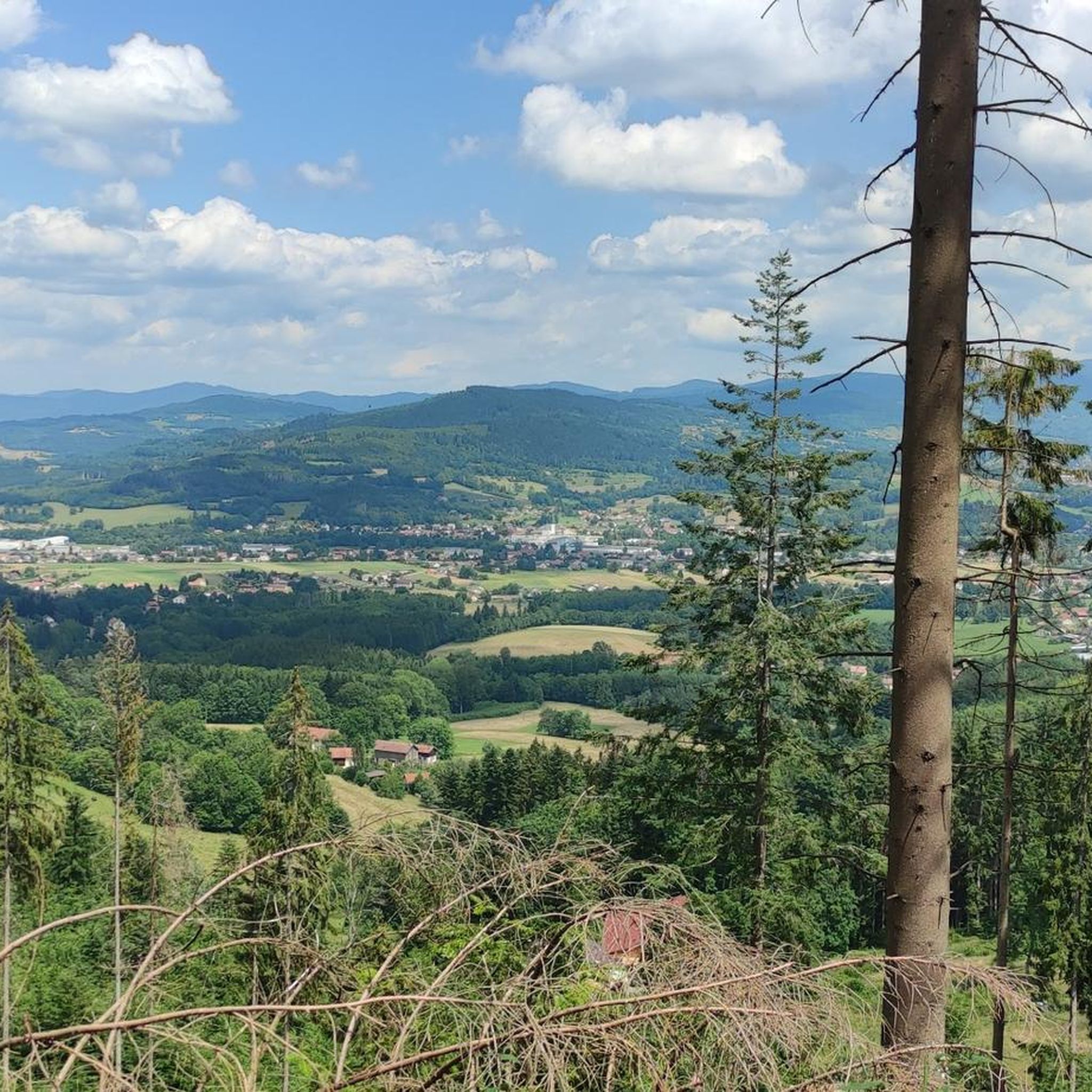
Easy pass with little traffic and a very beautiful panorama over the Corcieux valley
0
0

Be careful at the end, 7 kilometers of forest trail for which a mountain bike is more suitable than a VTC
1
0
Frequently Asked Questions
How many gravel bike trails are available around Taintrux?
There are nearly 20 gravel bike trails around Taintrux, offering a diverse range of experiences for different skill levels. You'll find a mix of moderate and difficult routes to explore the Vosges region.
What kind of terrain can I expect on gravel bike trails in Taintrux?
The terrain around Taintrux is characterized by a very green and hilly environment within the Vosges Mountains. Riders can expect a mix of mostly paved surfaces and unpaved sections, including scenic forestière routes and mountain passes. Some advanced trails may require pushing your bike.
Are there any beginner-friendly gravel bike routes in Taintrux?
Yes, there are routes suitable for all skill levels. For a moderate option, consider the Camping Domaine de Messires – Church loop from La Chapelle-devant-Bruyères, which is about 20.6 km long and features varied terrain without extreme difficulty.
Which gravel bike trails offer the best views in Taintrux?
Many routes in the Vosges region offer beautiful vistas. The Col de Mandray provides quiet, steady climbs with beautiful views over the Meurthe valley. Additionally, the La Roche Saint-Martin and View of Saint-Dié highlight offers panoramic scenery.
What are some notable natural features or landmarks I can see along the gravel trails?
The region is rich in natural attractions. You can encounter unique rock formations like Pierre Laître, the rock of Anozel, and Pierre Three Legs. Highlights such as Dry Fir Rock and Roche des Abris are also accessible near some routes.
Are there any long-distance gravel biking options around Taintrux?
Absolutely. For a challenging long-distance ride, the Col de Bramont – La route des crêtes loop from Corcieux covers 113.5 km with significant elevation gain, requiring very good fitness. Another substantial option is the Climb Col de Grosse Pierre – View of Lake Lispach loop from Corcieux, spanning nearly 65 km.
What is the best time of year for gravel biking in Taintrux?
Taintrux is enjoyable for gravel biking during most of the year. While winters bring picturesque snowy landscapes, ideal for snowshoeing, the spring, summer, and autumn months offer the most favorable conditions for cycling, with lush green scenery and comfortable temperatures.
Are there any circular gravel bike routes in the Taintrux area?
Yes, many of the gravel routes around Taintrux are designed as loops. Examples include the moderate Camping Domaine de Messires – Church loop from La Chapelle-devant-Bruyères and the more challenging Tour de la Liberté loop from Saint-Dié-des-Vosges.
What do other gravel bikers say about the trails in Taintrux?
The gravel biking routes in Taintrux are highly rated by the komoot community, with an average score of 4.3 stars from over 3 reviews. Riders often praise the diverse landscapes, the mix of challenging climbs and scenic descents, and the well-maintained network of trails that cater to various abilities.
Are there historical sites to explore near the gravel biking trails?
Yes, the region has historical significance. You can explore sites like the La Bure Celtic Camp, which is a historical site. Additionally, the broader area features memorials related to the World Wars, commemorating battles and liberation efforts.
Are there options for accommodation or places to eat near the trails?
While specific cafes or pubs directly on the trails are not detailed, the region offers various accommodation options. Campsites like Flower Camping La Sténiole and Camping Les Granges Bas are situated near lakes and ski slopes, providing convenient bases for exploring the area.
What is the elevation gain like on the more difficult gravel routes?
The more difficult gravel routes in Taintrux feature significant elevation gains. For instance, the Col de Bramont – La route des crêtes loop from Corcieux involves over 2,500 meters of ascent, making it a demanding ride for experienced gravel bikers.
Most popular attractions around Taintrux

Get inspired with the komoot mobile app


Explore more
Browse the best Gravel rides in other regions.
