The best gravel rides around Villars-Le-Sec
5.0
(3)
30
riders
6
rides
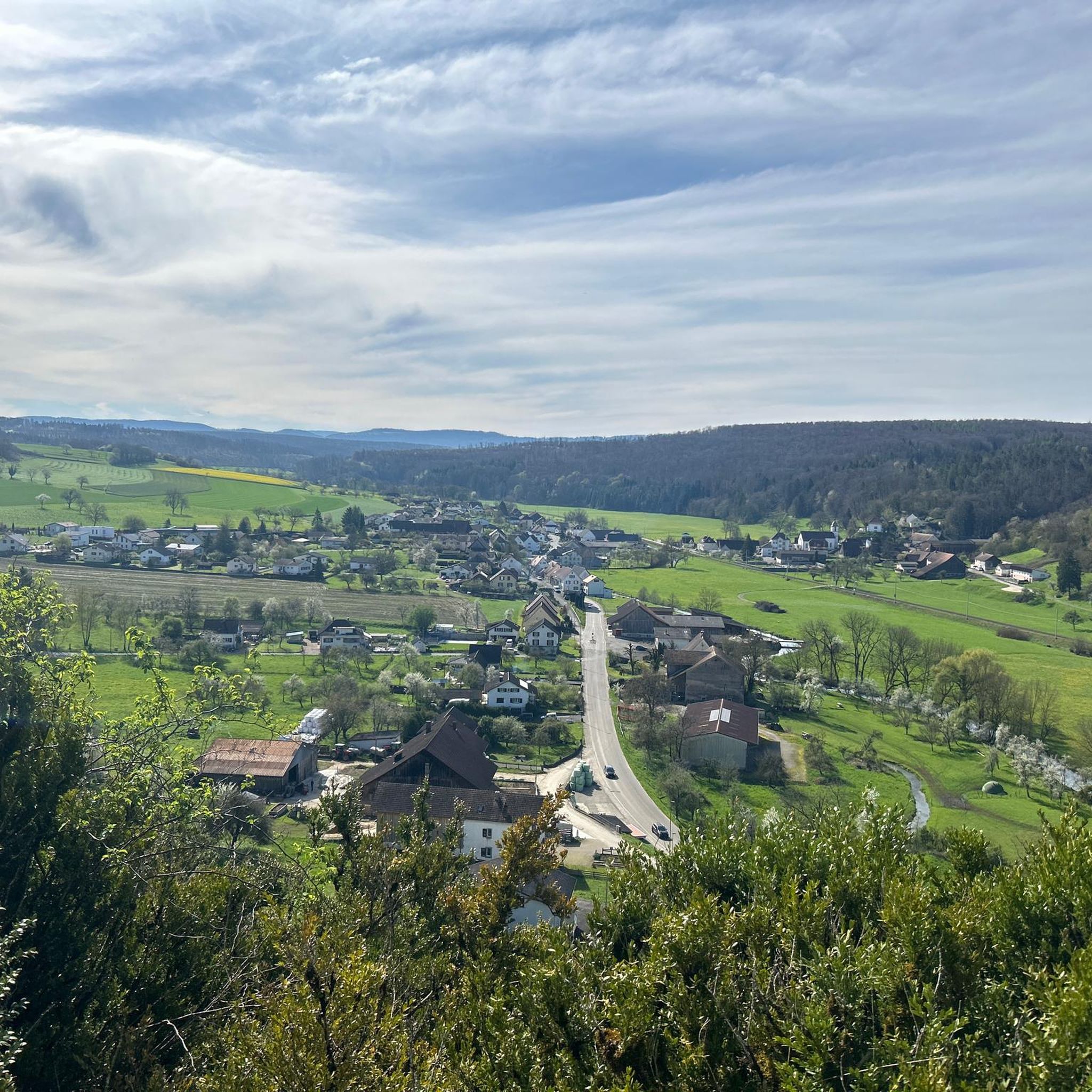
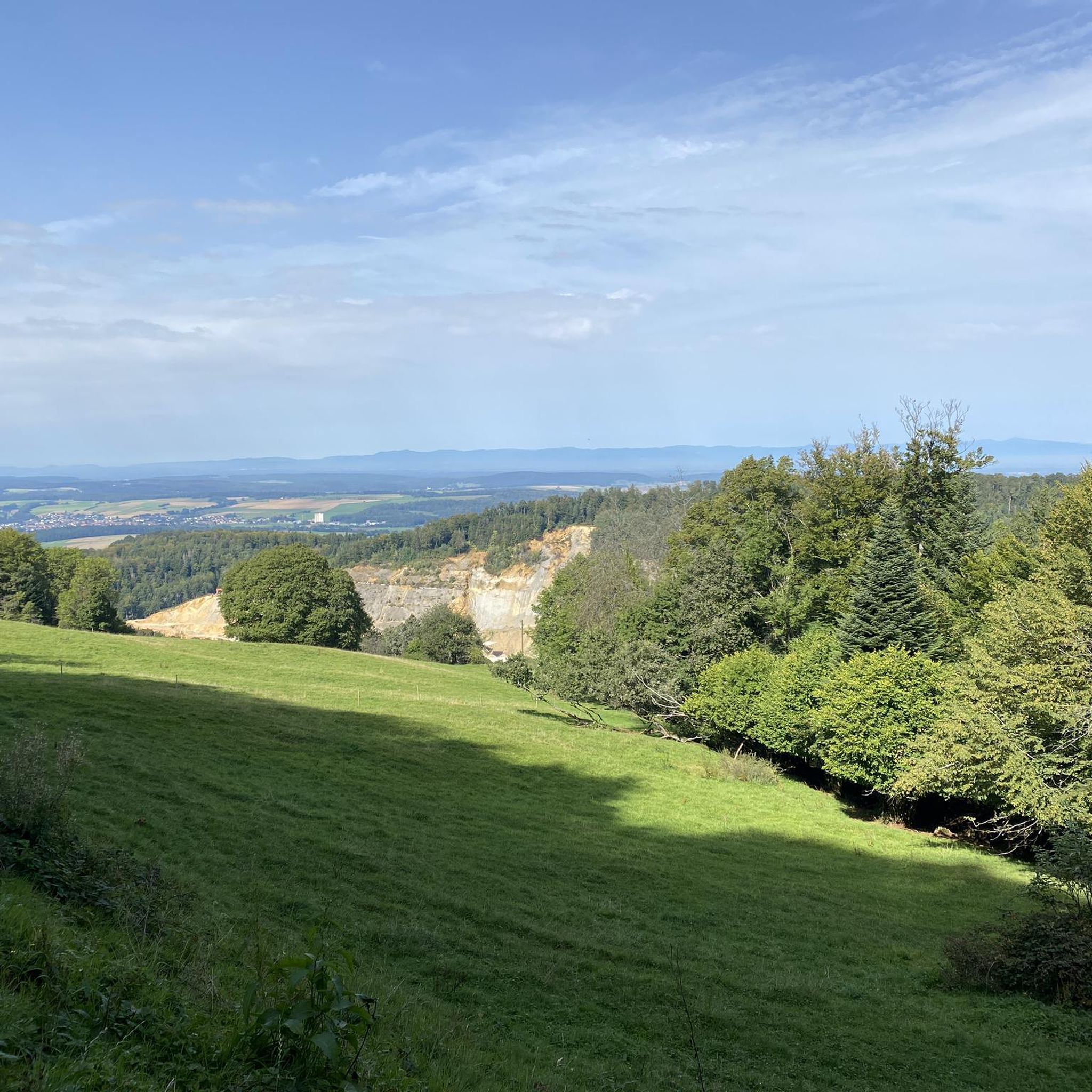
Gravel biking around Villars-Le-Sec, situated in the Territoire de Belfort, offers access to varied terrain within a rural landscape. The region is characterized by a calcareous plateau, modest elevations ranging from 519 to 621 meters, and approximately 50 hectares of forest, primarily oak and beech. This area features hilly landscapes and discreet trails, providing diverse options for gravel cyclists with both paved and unpaved sections.
Best gravel bike trails around Villars-Le-Sec
- The most popular gravel bike trail is Pleasant – Picnic table loop from Joncherey, a 13.8 miles (22.2 km) trail that takes 1 hour 30 minutes to complete. This difficult route traverses varied terrain with notable elevation changes.
- Another top favourite among local gravel bikers is Col de Montvoie loop from Porrentruy, a difficult 13.7 miles (22.0 km) path. This route includes significant elevation gain and passes through diverse landscapes.
- Local gravel bikers also love the Porrentruy Castle – View of Haute Ajoie loop from Porrentruy, a 22.3 miles (35.9 km) trail leading through hilly landscapes and offering panoramic views, often completed in about 2 hours 34 minutes.
- Gravel biking around Villars-Le-Sec is defined by varied landscapes, hilly terrain, and discreet trails. The network offers options for different ability levels, with all listed routes being difficult.
- The routes in Villars-Le-Sec are highly rated by the komoot community with an average score of 5.0 stars from over 2 reviews. More than 10 gravel bikers have used komoot to explore Villars-Le-Sec's varied terrain.
Last updated: July 3, 2026
10
riders
40.0km
02:19
230m
230m
Moderate gravel ride. Good fitness required. Mostly paved surfaces. Suitable for all skill levels.
4
riders
19.0km
01:25
250m
250m
Moderate gravel ride. Good fitness required. Mostly paved surfaces. Suitable for all skill levels.

Sign up for free
3
riders
23.0km
01:34
240m
240m
Hard gravel ride. Good fitness required. You may need to push your bike for some segments of this route.
5.0
(1)
4
riders
22.4km
01:43
490m
490m
Hard gravel ride. Very good fitness required. Mostly paved surfaces. Suitable for all skill levels.
5.0
(1)
5
riders
35.9km
02:34
700m
700m
Hard gravel ride. Very good fitness required. You may need to push your bike for some segments of this route.
Our route recommendations are based on thousands of hikes, rides, and runs completed by other people on komoot.
Start today with a free account
Your next adventure awaits.
Login or Signup
Tips from the Community

The Hota Hotel Porrentruy is located in the middle of the beautiful, small old town of Porrentruy and is also quickly reachable from the train station. It has the Bike Hotel label and is therefore perfect if you are on a tour through the Jura landscapes. The hotel has 39 rooms in two different categories. In the hotel's own restaurant L’Alambic, you can replenish your calorie stores after your ride with tasty regional dishes. More information about the hotel: https://hotahotels.com/en/hotel/porrentruy/.
0
0

This bridge on the Transjurane Autoroute is constructed over the cycling path from Porrentruy to Fahy. The cycling path itself is in excellent condition on mainly flat surface.
0
0

small table at the exit of the village, pretty cool
0
0

A beautiful green paradise between the highway and the city. The birdsong even drowns out the highway noise.
0
0

A beautiful strip of nature with waters and wet meadows, between the motorway and the city, for relaxation and enjoyment of nature.
3
0

A "chemin de halage", in German "treidelpfad", which runs alongside the waterway right next to the bed of the river or canal, was an indispensable part of the transport infrastructure in earlier times. Before ships could move using motor power, horses ran along the bank and pulled the ship against the current. This was called "treideln", and this is how the "treidelpfads" got their name, which has been passed down to this day. Where these paths directly on the bank have been preserved, they are often used by hikers and cyclists.
0
1

Beautiful scenery and nice cycle path.
0
0
Beautiful cycle path along the canal, very pleasant cycling, even if the asphalt is a bit old.
0
0
Frequently Asked Questions
How many gravel bike trails are available around Villars-Le-Sec?
There are over 10 gravel bike trails around Villars-Le-Sec, offering a variety of experiences for cyclists. These routes are highly rated by the komoot community, with an average score of 5.0 stars.
Are there gravel bike trails suitable for beginners or families?
While many routes around Villars-Le-Sec are rated as moderate to difficult, the region offers varied terrain. For a less strenuous option, consider routes that are shorter in distance and elevation gain. Always check the route details for specific difficulty ratings before heading out.
What kind of landscapes can I expect on gravel bike routes in Villars-Le-Sec?
Gravel biking around Villars-Le-Sec offers diverse landscapes, from hilly terrain and discreet trails to sections of 'enchanted forest' and opportunities for panoramic views. The region, part of the Territoire de Belfort, is known for its varied scenery, blending both paved and unpaved sections.
Are there any circular gravel bike routes available?
Yes, many of the gravel bike routes around Villars-Le-Sec are designed as loops, allowing you to start and finish at the same point. Examples include the Porrentruy Castle – Old mill on the Allaine river loop from Courtemaîche and the Chapel of St-Gilles – Temple of Porrentruy loop from Porrentruy.
What natural features or landmarks can I see along the gravel bike trails?
The region boasts several interesting natural features and landmarks. You might encounter the Porrentruy Botanical Garden, the Dinosaur Tracks of Pommerat, or the impressive Pont Sarrazin Natural Arch. Some routes also pass by historical sites like Porrentruy Castle.
Are there routes that offer scenic viewpoints?
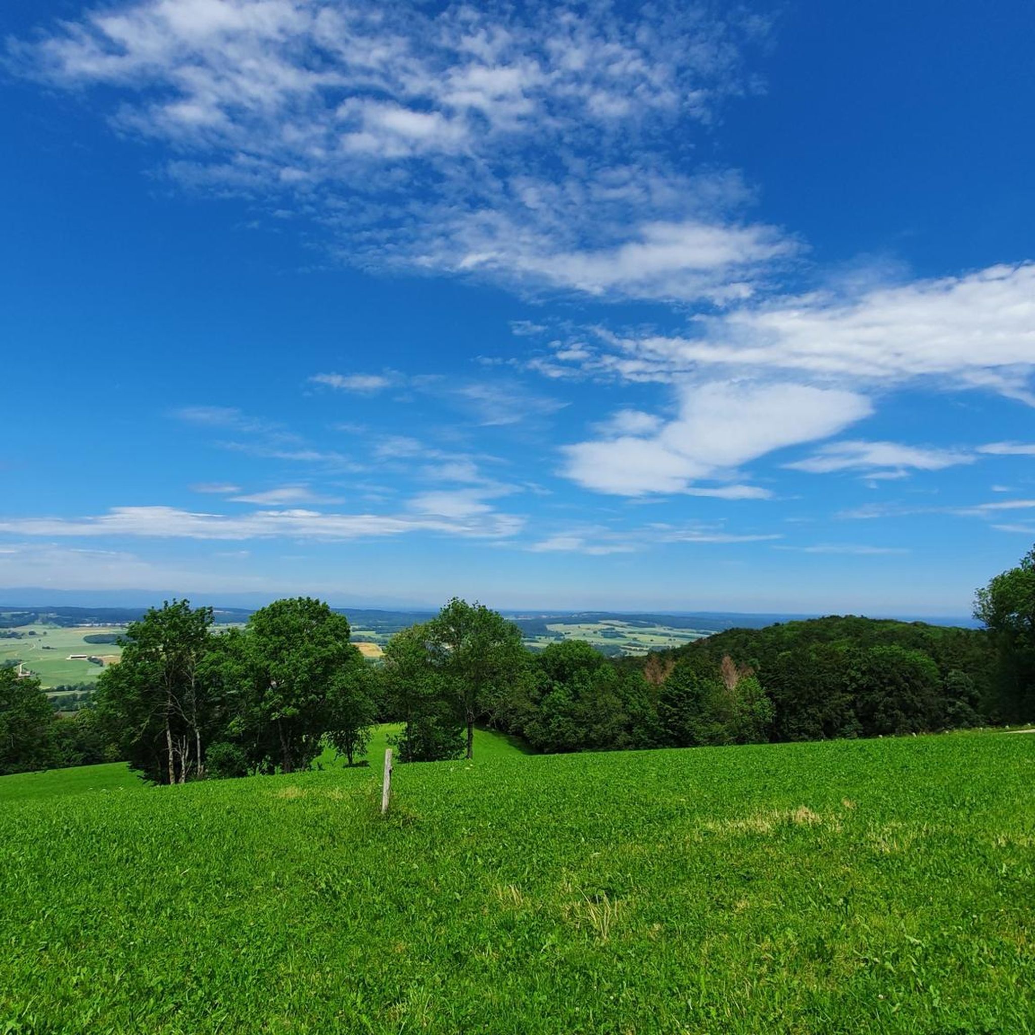
Yes, the hilly terrain around Villars-Le-Sec often provides routes with excellent viewpoints. The View of Haute Ajoie – Col de Montvoie loop from Porrentruy is specifically known for its scenic vistas of Haute Ajoie and the Col de Montvoie.
Can I bring my dog on the gravel bike trails?
While specific regulations for dogs on gravel bike trails can vary, generally, dogs are welcome on many outdoor paths in the region, especially if kept on a leash. It's always advisable to check local signage and ensure your dog is comfortable with the distance and terrain.
What is the best time of year for gravel biking in Villars-Le-Sec?
The spring and autumn months typically offer the most pleasant conditions for gravel biking, with milder temperatures and beautiful scenery. Summer can also be enjoyable, but be prepared for warmer weather. Winter riding is possible, but trails may be muddy or icy, requiring appropriate gear and caution.
Where can I find parking near the gravel bike trails?
Many routes start from towns or villages like Courtemaîche or Porrentruy, where public parking is generally available. It's recommended to check the starting point of your chosen route on komoot for specific parking suggestions or areas where you can safely leave your vehicle.
Are there any routes that follow rivers or water features?
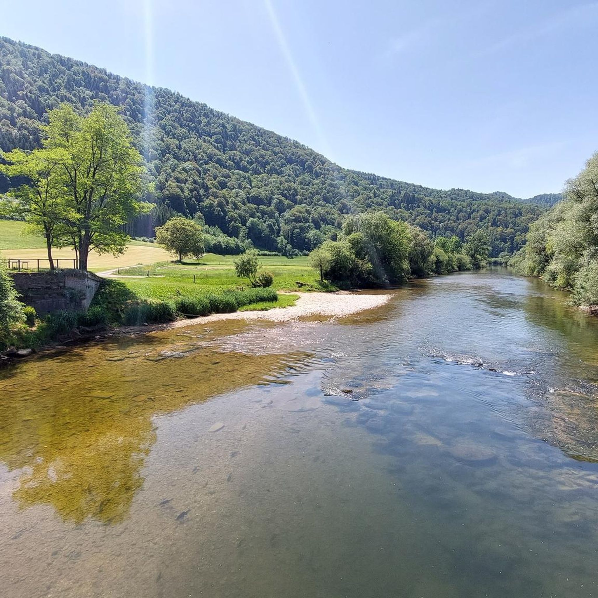
Yes, some routes incorporate water features. For instance, the Porrentruy Castle – Old mill on the Allaine river loop from Courtemaîche follows along the Allaine river, offering picturesque riverside sections.
What do other gravel bikers enjoy most about the trails in Villars-Le-Sec?
The komoot community rates the gravel bike trails around Villars-Le-Sec very highly, with an average score of 5.0 stars. Riders often praise the varied landscapes, the mix of paved and unpaved sections, and the opportunity for immersive adventures on discreet trails.
Most popular routes around Villars-Le-Sec
Most popular attractions around Villars-Le-Sec

Get inspired with the komoot mobile app


Explore more
Browse the best Gravel rides in other regions.
