The best gravel rides around Dolus-D'Oléron
4.4
(130)
1,136
riders
60
rides
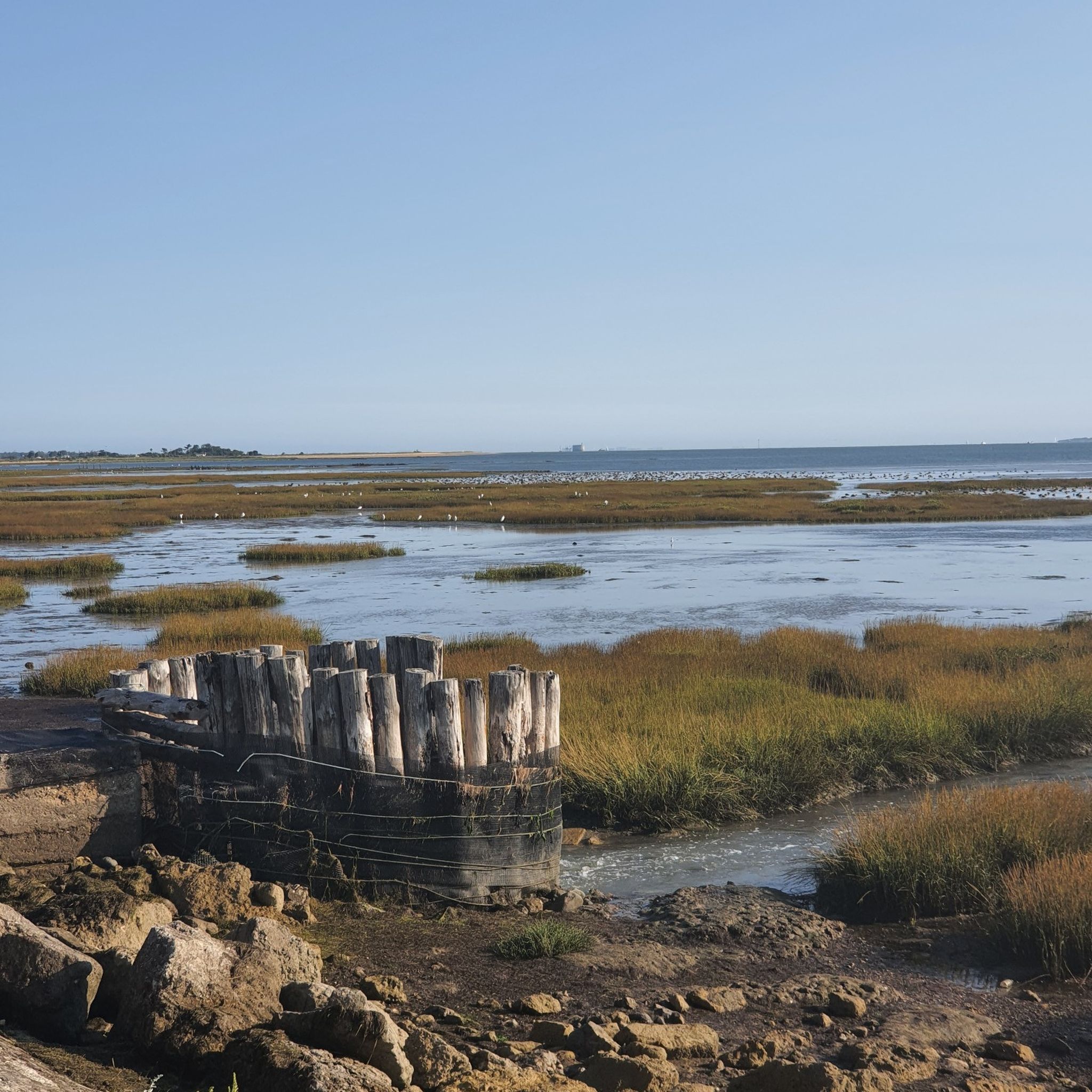
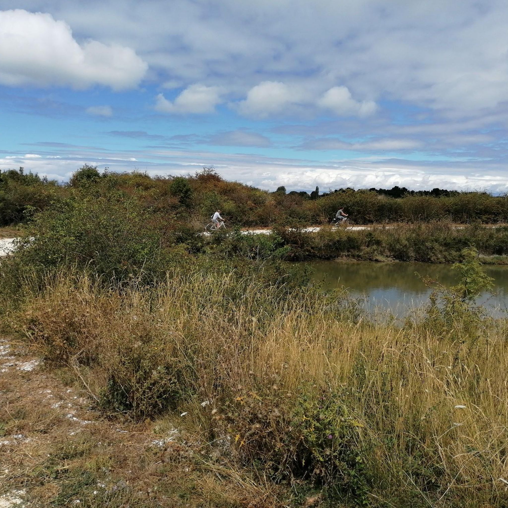
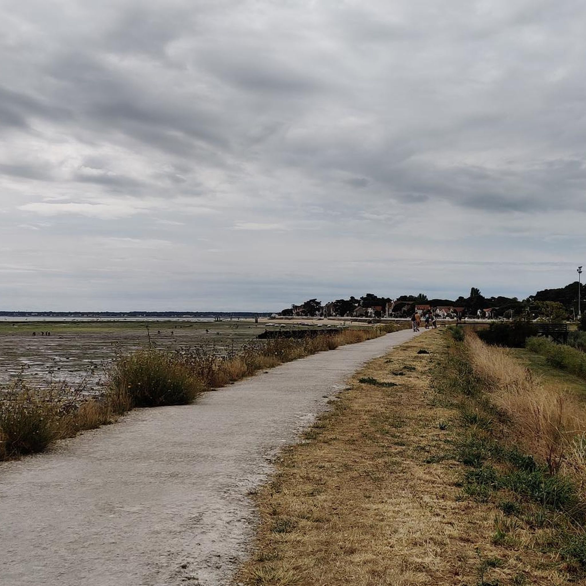
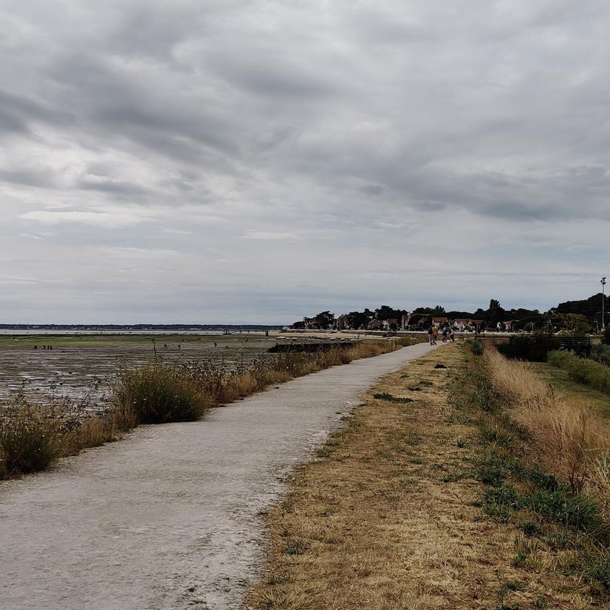
Gravel biking around Dolus-D'Oléron offers routes across the flat, coastal landscapes of Île d'Oléron. The terrain is characterized by sandy paths, salt marshes, and coastal trails, with minimal elevation changes. Riders can expect to encounter pine forests, oyster farms, and views of the Atlantic Ocean. The region provides a network of paths suitable for various gravel biking experiences.
Best gravel bike trails around Dolus-D'Oléron
- The most popular gravel bike trail is Île d'Oléron Harbor and Beach – Saltworks Port loop…
Last updated: October 19, 2026
5.0
(1)
54
riders
52.1km
02:28
100m
100m
Moderate gravel ride. Good fitness required. Mostly paved surfaces. Suitable for all skill levels.
4.5
(10)
46
riders
46.2km
02:21
80m
80m
Moderate gravel ride. Good fitness required. Mostly paved surfaces. Suitable for all skill levels.

4.5
(4)
22
riders
37.8km
02:01
60m
60m
Moderate gravel ride. Good fitness required. Mostly paved surfaces. Suitable for all skill levels.
5.0
(2)
13
riders
Easy gravel ride. Great for any fitness level. Mostly paved surfaces. Suitable for all skill levels.
4.5
(2)
20
riders
Easy gravel ride. Great for any fitness level. Mostly paved surfaces. Suitable for all skill levels.
Get access to more routes and recommendations from other explorers.
Already have an account?
Our route recommendations are based on thousands of hikes, rides, and runs completed by other people on komoot.
Start today with a free account
Your next adventure awaits.
Tips from the Community


Spectacular what the wind can do
0
0

The citadel of Château-d'Oléron is a military fortress
0
0

A unique and peaceful spectacle.
0
0

A must-see for anyone visiting the island of Oléron. Richelieu ordered its construction, which began in 1630 on the remains of the old medieval castle. The work was led by the engineer Pierre d'Argencourt, who ordered the first bastion, and Louis Nicolas de Clerville later modified and enlarged the structure. The citadel and the town were completed in 1700 under the orders of Vauban. During this final phase of construction, part of the old village was razed to make way for a new fortified town, built on a grid pattern around the parade ground. A fortress with a defensive function, the citadel also housed disciplinary bodies, civilian and religious inmates during the Reign of Terror, and political prisoners in 1870. On April 17, 1945, an aerial bombardment destroyed many parts of the citadel. From 1959 to 1970, an initial restoration began. The stronghold was restored from 1988.
1
0
A large fishing port, pleasure boats and yachts play a minor role here, as can be seen from the limited number of berths. However, it's interesting to watch the fishermen unloading their cargo, especially in the early morning hours.
1
0

Do not stack pebbles as this promotes erosion.
0
0

Frequently Asked Questions
How many gravel bike trails are available around Dolus-D'Oléron?
There are over 60 gravel bike routes available around Dolus-D'Oléron, offering a wide range of experiences across the island's unique landscapes. These include paths through pine forests, along salt marshes, and coastal trails.
Are there beginner-friendly gravel routes in Dolus-D'Oléron?
Yes, Dolus-D'Oléron offers many routes suitable for beginners. Over half of the available gravel bike trails are rated as easy, characterized by minimal elevation changes and well-maintained paths. These routes are perfect for those new to gravel biking or looking for a relaxed ride.
What kind of terrain can I expect on gravel bike trails in Dolus-D'Oléron?
The terrain around Dolus-D'Oléron is predominantly flat, featuring sandy paths, coastal trails, and routes through salt marshes and pine forests. You'll enjoy views of the Atlantic Ocean and encounter oyster farms, with very little elevation gain.
Are there family-friendly gravel biking options in Dolus-D'Oléron?
Absolutely. Given the generally flat terrain and numerous easy routes, many gravel trails in Dolus-D'Oléron are suitable for families. These paths often follow safe, dedicated cycling infrastructure, making them ideal for riders of all ages.
What are some interesting places to see along the gravel bike trails?
Many gravel routes offer opportunities to explore the island's rich heritage and natural beauty. You might pass by the historic Château-d'Oléron Citadel, the charming Chenal du Douhet, or the unique Baudissière Huts. Some routes also offer views of the Oléron Island Bridge or the distant Fort Louvois.
Are there circular gravel bike routes available?
Yes, many of the gravel bike trails in Dolus-D'Oléron are designed as loops, allowing you to start and finish at the same point. For example, the Île d'Oléron Harbor and Beach – Saltworks Port loop from La Gaconnière is a popular circular option exploring coastal areas and saltworks.
What is the best time of year for gravel biking in Dolus-D'Oléron?
The spring and autumn months generally offer the most pleasant conditions for gravel biking in Dolus-D'Oléron, with mild temperatures and fewer crowds. Summer is also popular, but can be warmer, while winter rides are possible but may require appropriate gear for cooler, potentially wetter weather.
Can I find places to eat or drink along the gravel routes?
Yes, many routes pass through or near charming villages and coastal towns where you can find cafes, restaurants, and oyster shacks. The island is famous for its oysters, so look out for opportunities to sample local delicacies along your ride.
What do other gravel bikers enjoy most about the trails in Dolus-D'Oléron?
The gravel trails in Dolus-D'Oléron are highly rated by the komoot community, with an average score of 4.4 stars from over 130 reviews. Riders frequently praise the diverse coastal scenery, the peaceful atmosphere of the pine forests, and the well-maintained, accessible paths that make for enjoyable rides.
Are there any longer gravel routes for experienced riders?
For those seeking a longer challenge, routes like the Embellie Beach – La Coubre Lighthouse loop from La Cotinière offer a significant distance of over 95 km. While still relatively flat, these longer rides require more endurance and provide an extensive exploration of the island's varied landscapes.
Is parking available near the gravel bike trails?
Yes, parking is generally available in the towns and villages that serve as starting points for many gravel routes, such as Dolus-D'Oléron itself, La Gaconnière, or Le Château-d'Oléron. Look for designated public parking areas, especially near popular attractions or trailheads.
Are there any hidden gem gravel trails in Dolus-D'Oléron?
While many routes are well-known, exploring the smaller paths through the salt marshes or the less-traveled sections of the pine forests can reveal quieter, more secluded experiences. The island's extensive network means there's always a new corner to discover away from the main thoroughfares.
Most popular routes around Dolus-D'Oléron
Most popular attractions around Dolus-D'Oléron

Get inspired with the komoot mobile app


Explore more
Browse the best Gravel rides in other regions.
