The best gravel rides around Prémilhat
4.3
(18)
100
riders
24
rides
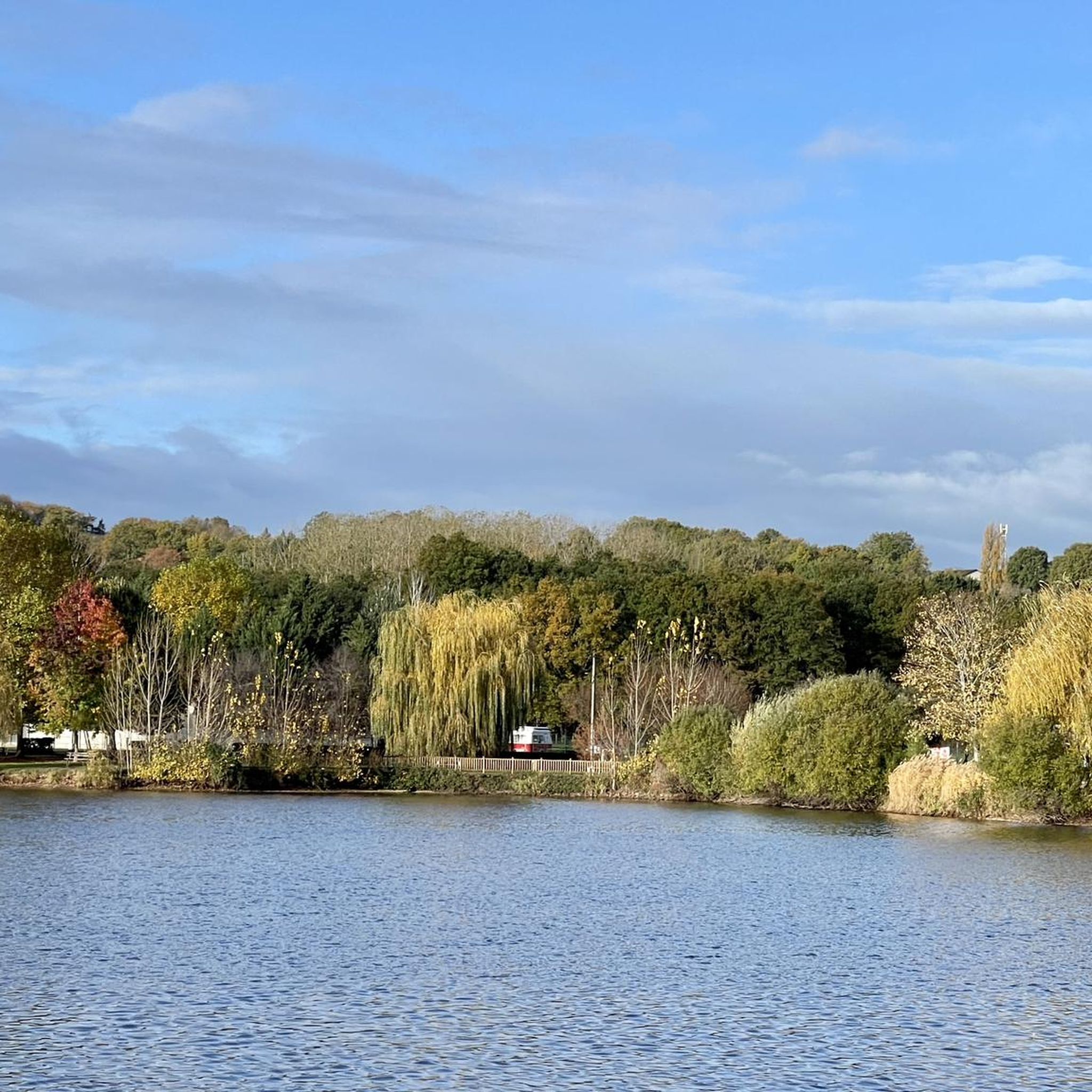
Gravel biking around Prémilhat offers access to diverse terrain within the Allier department of the Auvergne-Rhône-Alpes region. The area features rolling hills and country lanes, providing a mix of paved and unpaved surfaces suitable for gravel cycling. Routes often traverse inspiring forests and explore areas around various lakes, including the Étang de Sault. The landscape includes an exceptionally rich ecosystem along the Allier River, offering varied natural environments for exploration.
Best gravel bike trails around Prémilhat
- The most popular gravel…
Last updated: October 19, 2026
4.5
(2)
10
riders
61.3km
04:18
750m
750m
Hard gravel ride. Very good fitness required. Mostly paved surfaces. Suitable for all skill levels.
7
riders
46.3km
03:03
520m
520m
Hard gravel ride. Very good fitness required. Mostly paved surfaces. Suitable for all skill levels.

3.0
(1)
10
riders
40.7km
02:48
440m
440m
Hard gravel ride. Good fitness required. You may need to push your bike for some segments of this route.
3.0
(1)
5
riders
40.2km
02:45
470m
470m
Hard gravel ride. Very good fitness required. Mostly paved surfaces. Suitable for all skill levels.
4
riders
64.2km
04:19
700m
700m
Hard gravel ride. Very good fitness required. You may need to push your bike for some segments of this route.
Get access to more routes and recommendations from other explorers.
Already have an account?
Our route recommendations are based on thousands of hikes, rides, and runs completed by other people on komoot.
Start today with a free account
Your next adventure awaits.
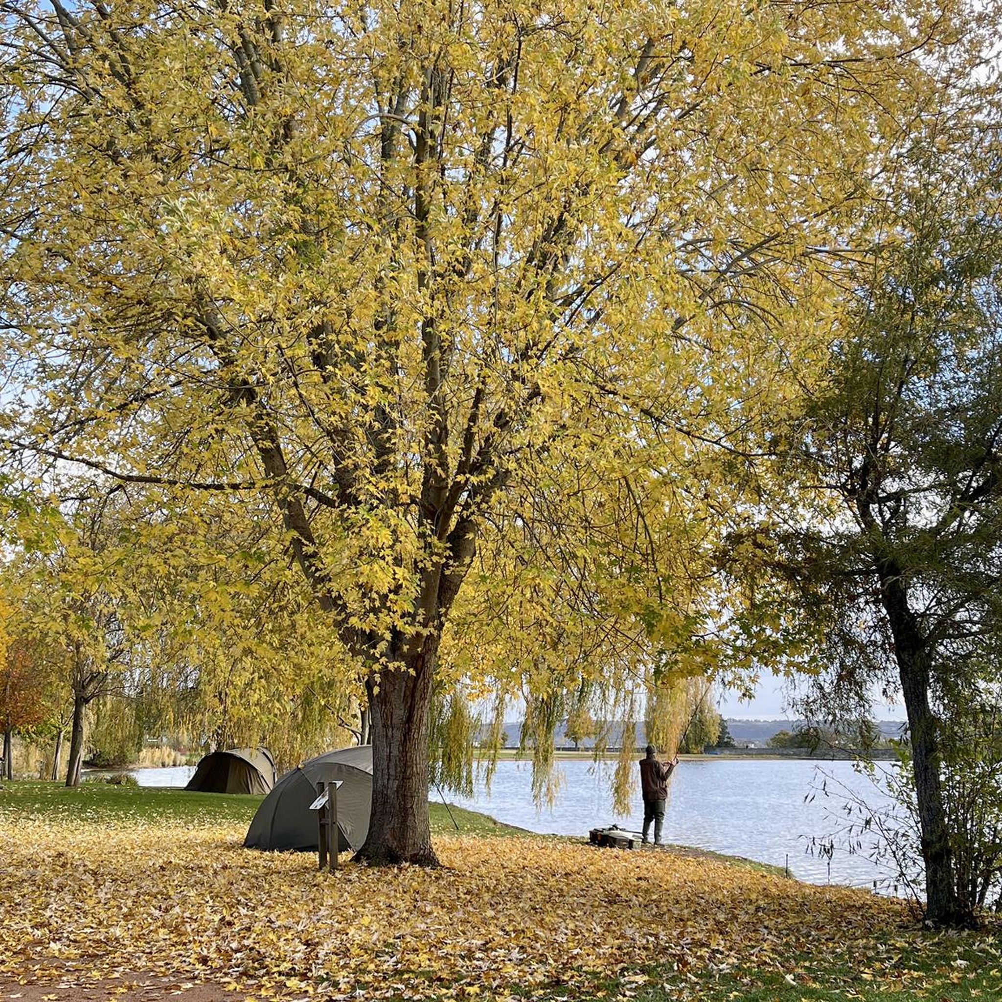
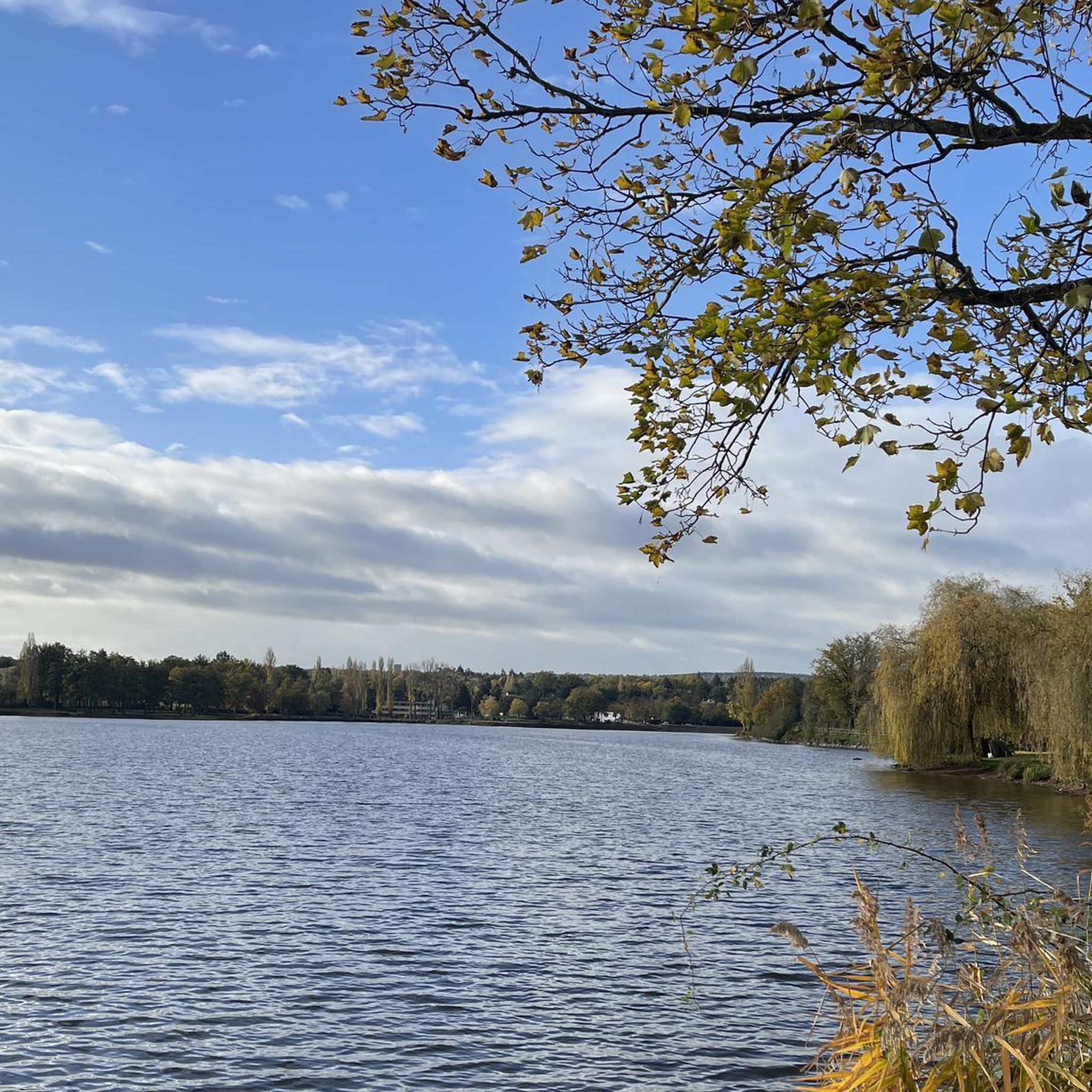
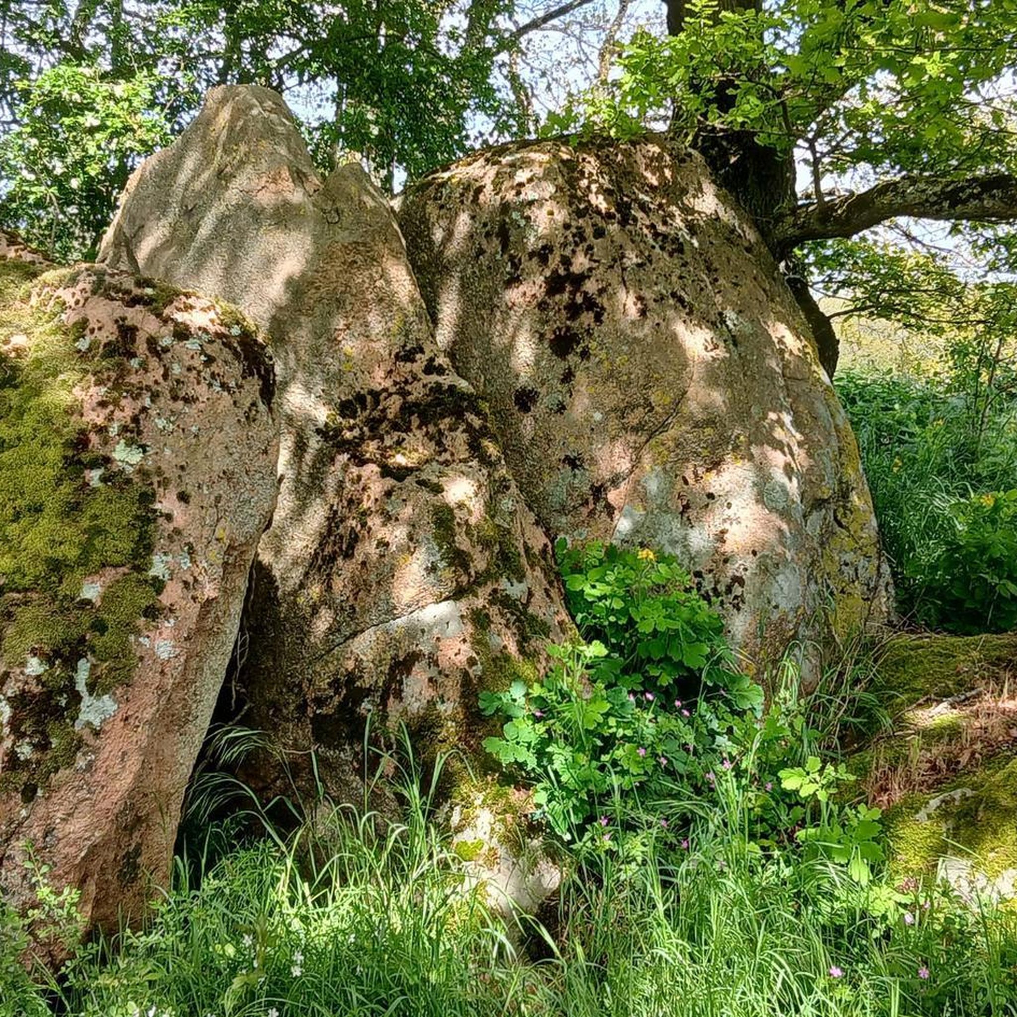
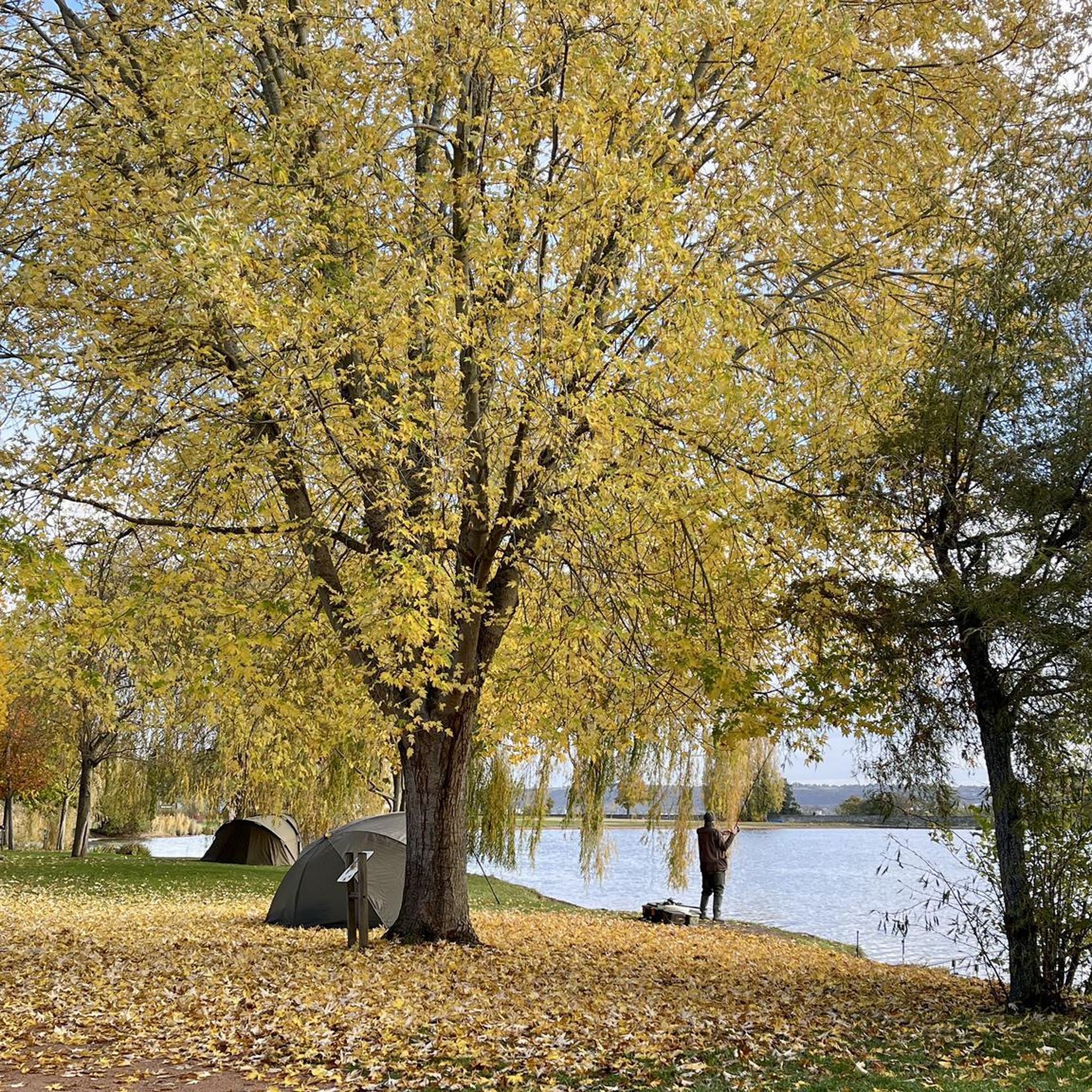
Tips from the Community

Beautiful route, don't forget Montlucon. Slowly down and then slowly back up.
0
0

nice bowl for me
0
0
The highest point in Quinssaines. Beautiful viewpoint, with a pretty little church, and a lovely park for children just behind.
0
0

Beautiful photos but no longer relevant as the pond has been dry for two years.
0
0

The Eden Farm has installed a toilet station for hikers and walkers! It's really nice of them. A big thank you!
0
0

The Romanesque church of Huriel, built in the 12th century, was once the seat of a priory dependent on the powerful Abbey of Déols, a Cluniac monastery in Berry. Built of Jarges granite, it blends Auvergne influences with its superb octagonal bell tower with blind arcades, reminiscent of those of major churches such as Saint-Nectaire or Saint-Saturnin.
0
0

Relaxed freeweelend to Montluçon ; the way back has to be worked.
0
0

Frequently Asked Questions
How many gravel bike trails are available around Prémilhat?
There are over 20 gravel bike routes available around Prémilhat, offering a variety of experiences for different skill levels, from moderate to difficult.
What kind of terrain can I expect on gravel bike trails in Prémilhat?
Gravel biking in Prémilhat features a diverse landscape of rolling hills, scenic country lanes, and significant forested areas. You'll encounter a mix of paved and unpaved surfaces, with routes often exploring serene lake areas like the Étangs de Sault, and the rich ecosystem along the Allier River.
Are there any long-distance gravel routes for experienced riders?
Yes, for experienced riders seeking a challenge, routes like the Pont Romain de Courtioux – Huriel loop from La Ville-Gozet cover over 63 km with significant elevation gain. Another demanding option is the Huriel – The old mill of Sault loop from La Ville-Gozet, which is nearly 63 km long and features varied countryside.
What are the difficulty levels of gravel bike trails in Prémilhat?
The gravel bike trails around Prémilhat are generally categorized as moderate to difficult. You'll find 13 moderate routes and 7 difficult routes, providing options for various fitness and skill levels.
What natural features or landmarks can I see along the gravel bike trails?
Many routes pass by beautiful natural features such as the Étang de Sault and Cournauron pond. The broader region is known for its inspiring forests and the exceptionally rich ecosystem along the Allier River. You might also encounter historical sites like the Hôpital de la Charité or the Suspension bridge over the Cher River.
Are there any circular gravel bike routes in the area?
Yes, many of the gravel routes around Prémilhat are designed as loops. For example, the Sault Pond – Bartillat Pond. loop from Montluçon-Ville offers a circular exploration of the area, and the Sault Pond – Croix des Oyaroux loop from La Ville-Gozet is another popular circular option.
What is the best season for gravel cycling in Prémilhat?
The Auvergne region, including Prémilhat, is known for its verdant hills, suggesting spring and summer offer lush scenery. However, the varied terrain and forests can also be beautiful in autumn. Always check local weather patterns before heading out, as conditions can vary.
Is Prémilhat suitable for family-friendly gravel biking?
While many routes are moderate to difficult, the presence of country lanes and less technical forest paths means that with careful route selection, families can find suitable sections. Look for shorter, less elevated routes if cycling with children.
Where can I find parking for gravel biking trails in Prémilhat?
While specific parking locations for each trailhead are not detailed, Prémilhat and nearby towns like Montluçon are well-equipped for outdoor activities. It's advisable to check local maps or komoot tour details for designated parking areas near your chosen starting point.
What do other gravel bikers enjoy most about gravel biking in Prémilhat?
The area is highly rated by the komoot community, with an average score of 3.0 stars. Reviewers often praise the diverse terrain, which includes rolling hills, country lanes, and forested sections, providing a varied and engaging gravel biking experience.
Are there any cafes or places to eat near the gravel bike trails?
Prémilhat and the surrounding areas, including Montluçon, offer various amenities for cyclists. You'll find cafes, pubs, and restaurants in these towns where you can refuel before or after your ride. It's a good idea to plan your route to pass through or near these locations.
Can I reach Prémilhat by public transport with my bike?
Montluçon, a larger town very close to Prémilhat, is accessible by train. Many regional train services in France allow bicycles, often with specific conditions or dedicated spaces. It's recommended to check the specific train operator's policy regarding bike transport when planning your journey to Montluçon.
Most popular attractions around Prémilhat

Get inspired with the komoot mobile app


Explore more
Browse the best Gravel rides in other regions.
