The best gravel rides around Sahurs
4.4
(13)
96
riders
27
rides
Gravel biking around Sahurs features a landscape shaped by the meandering Seine River, offering varied terrain for cyclists. The region includes riverbanks, agricultural areas, and sections with more elevation, such as those near the Falaises d'Orival (cliffs). Routes often traverse a mix of paved roads, gravel paths, and forest tracks, providing diverse surfaces for gravel cyclists. The area's topography allows for both relatively flat sections along the river and more challenging climbs away from the valley floor.
Best gravel bike…
Last updated: July 3, 2026
5.0
(2)
19
riders
32.2km
02:17
180m
180m
Hard gravel ride. Good fitness required. You may need to push your bike for some segments of this route.
4.7
(3)
21
riders
Hard gravel ride. Very good fitness required. Mostly paved surfaces. Suitable for all skill levels.

Sign up for free
4.0
(1)
16
riders
Hard gravel ride. Very good fitness required. You may need to push your bike for some segments of this route.
10
riders
29.2km
01:53
130m
130m
Hard gravel ride. Great for any fitness level. You may need to push your bike for some segments of this route.
5.0
(1)
14
riders
51.8km
03:17
590m
590m
Hard gravel ride. Very good fitness required. You may need to push your bike for some segments of this route.
Get access to more routes and recommendations from other explorers.
Sign up for free
Already have an account?
Our route recommendations are based on thousands of hikes, rides, and runs completed by other people on komoot.
Start today with a free account
Your next adventure awaits.
Login or Signup

Tips from the Community

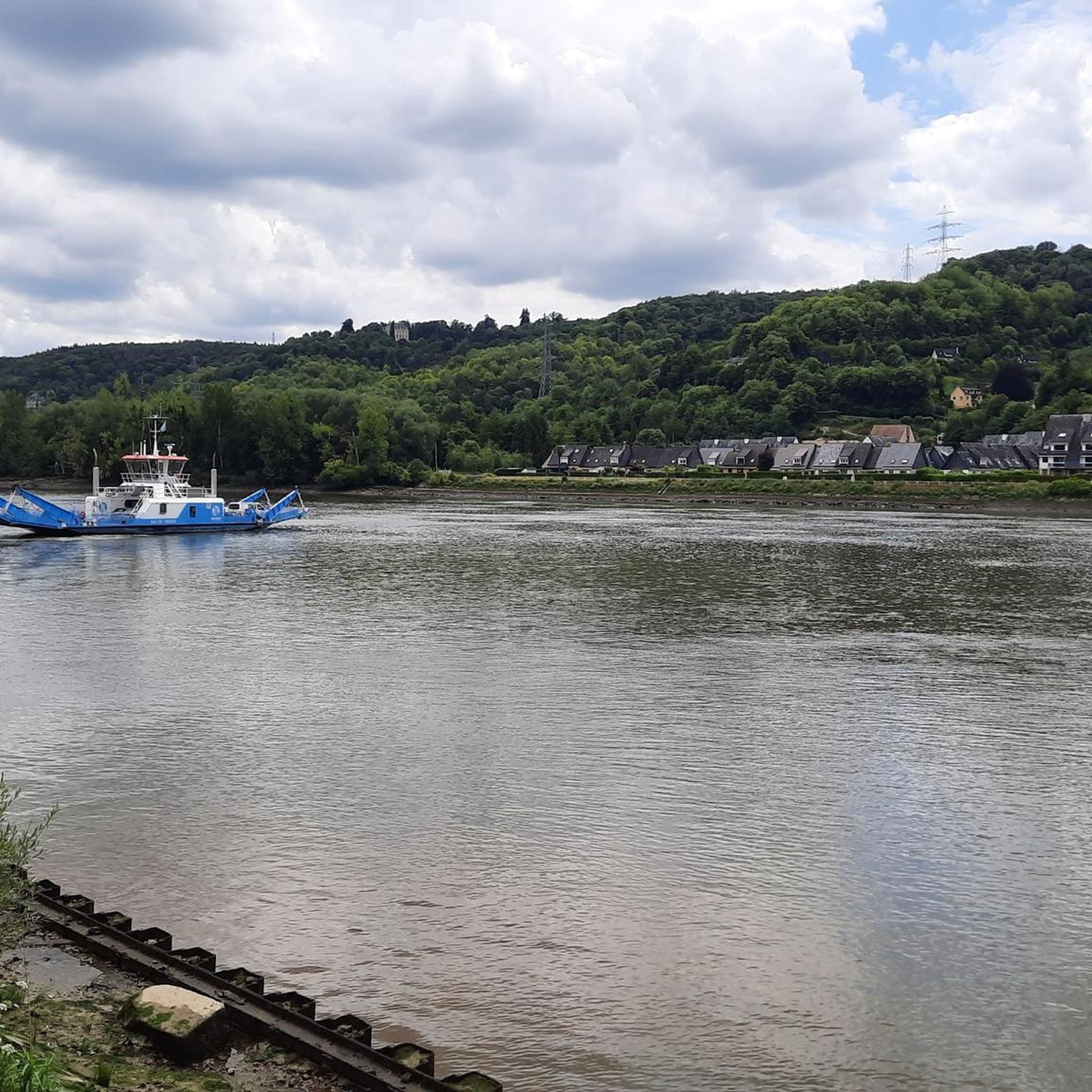
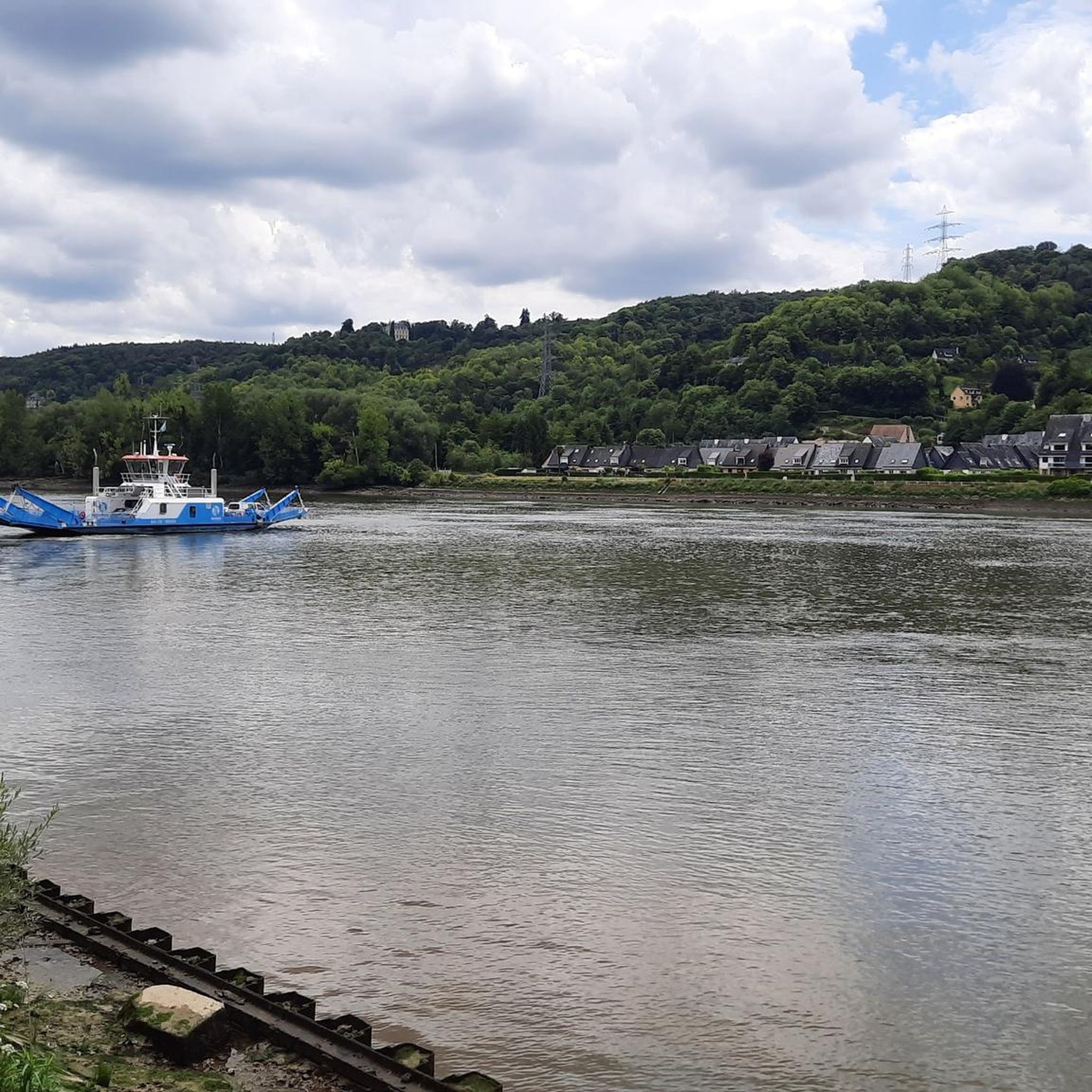
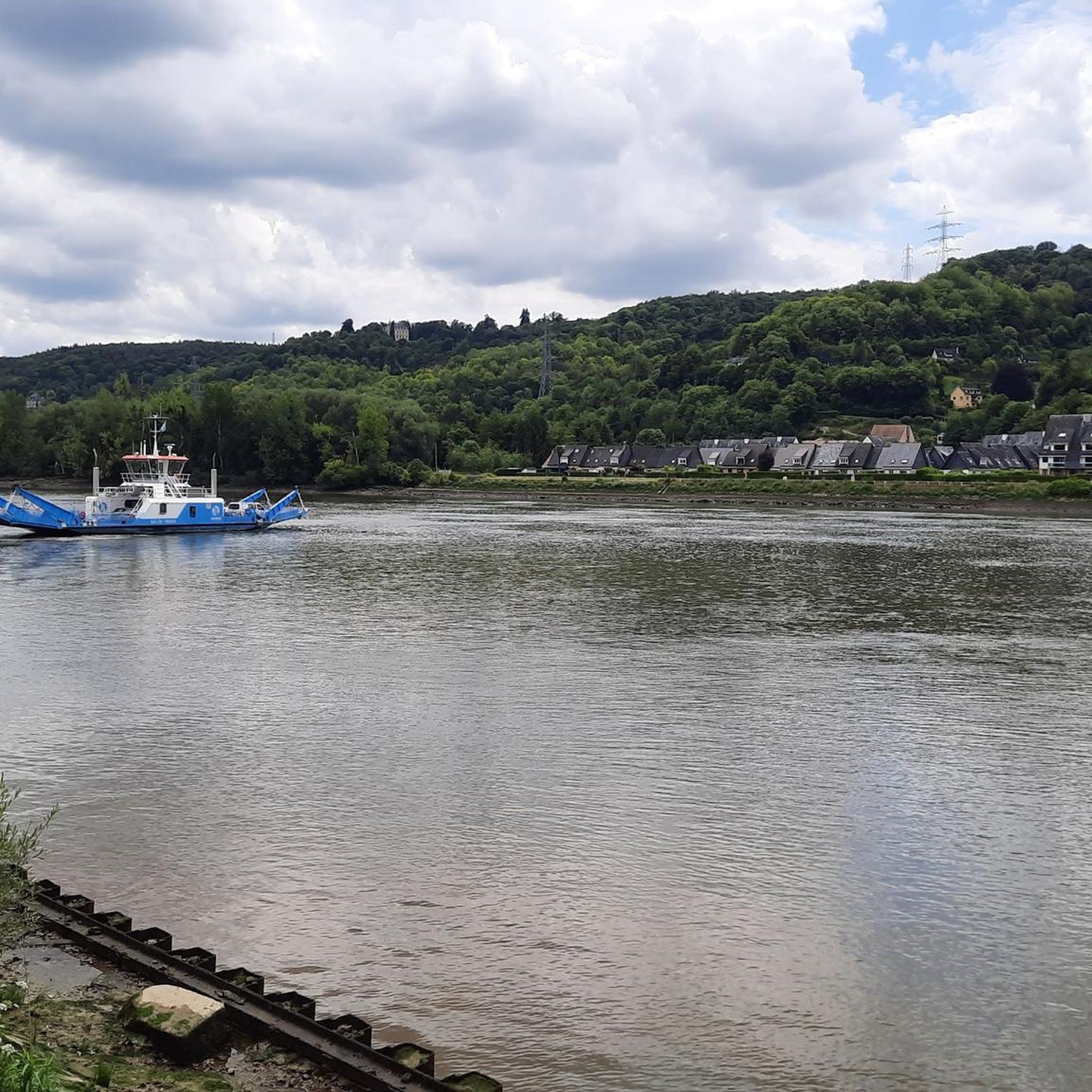
Railway bridge and pedestrian/cycle path with a view of the Seine
0
0

Crossing every 20 minutes during the day. No crossing during lunch break
1
0

It is a well-maintained forest suitable for various sports activities or simply family walks.
0
0

Pretty little town with half-timbered houses.
0
0

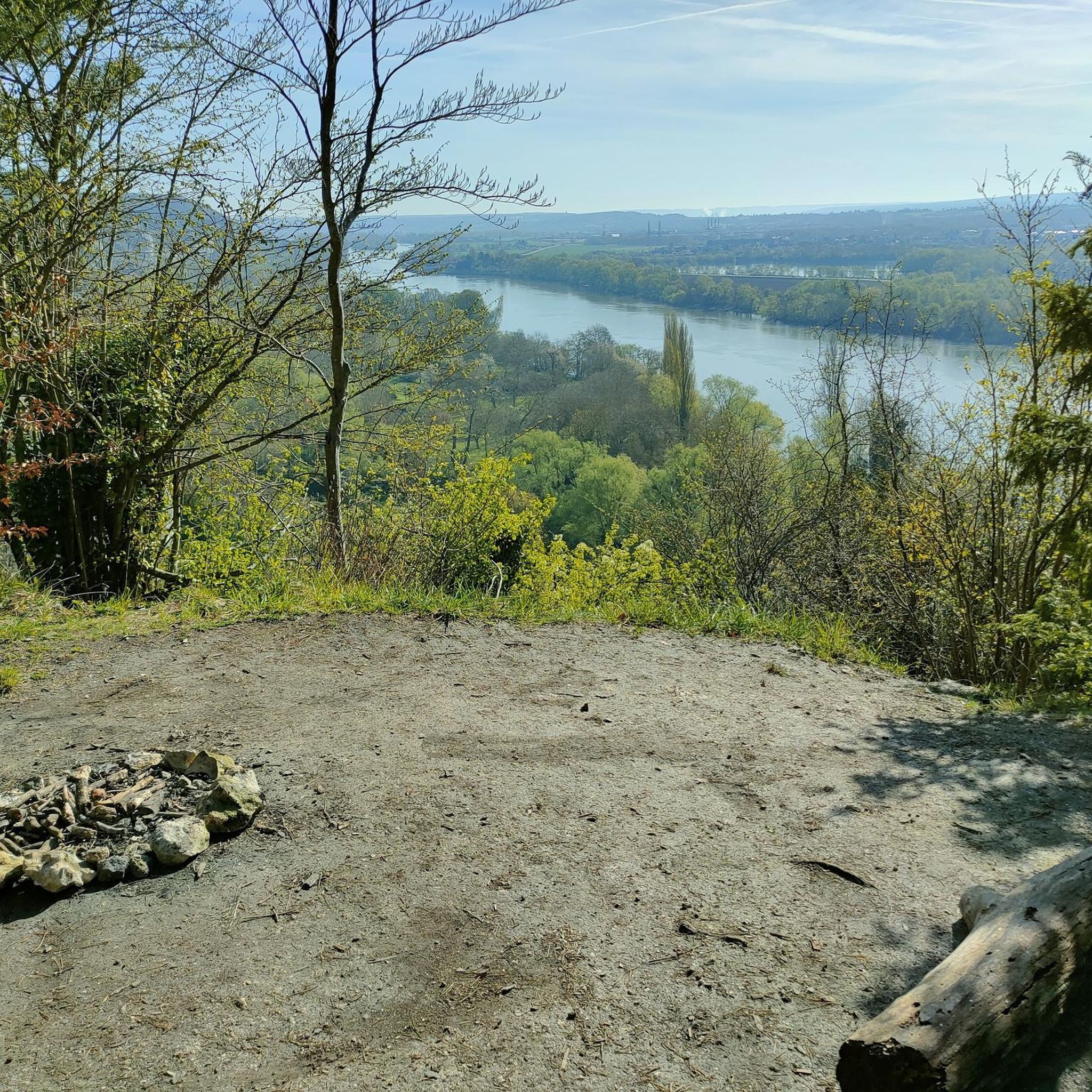
Great place to be, nice view to the river Seine
0
0


A magnificent specimen of "burl" on this pretty birch.
0
0
This is the main entry point to the Madrillet/Rouvray forest with parking nearby... and its famous entrance bump well known to all!
0
0
Frequently Asked Questions
How many gravel bike trails are available around Sahurs?
There are over 30 gravel bike trails around Sahurs, offering a diverse range of experiences for cyclists. While many are challenging, there are also moderate and easier options available.
What are the typical distances and elevations for gravel bike trails in Sahurs?
The gravel bike trails around Sahurs vary significantly in length and elevation. You can expect routes ranging from approximately 30 miles (50 km) to over 90 miles (145 km). Elevation gains typically range from around 1,100 feet (340 m) to over 4,300 feet (1,300 m), reflecting the region's varied terrain along the Seine and its elevated sections.
Are there any easy or beginner-friendly gravel bike trails in Sahurs?
While many routes in Sahurs are rated as difficult, there are at least 5 easier gravel bike trails available. These routes often follow the riverbanks or less hilly agricultural areas, providing a more relaxed experience for beginners or those looking for a less strenuous ride.
What kind of terrain can I expect on gravel bike routes in Sahurs?
Gravel biking around Sahurs features a mix of terrain, including paved roads, gravel paths, and forest tracks. The landscape is shaped by the Seine River, offering both relatively flat sections along the river and more challenging climbs in areas like the Falaises d'Orival (cliffs).
What can I see along the gravel bike trails around Sahurs?
Many gravel routes offer extensive views of the Seine's meanders. You can also pass by historical sites such as the Ruins of Jumièges Abbey or explore charming settlements like La Bouille. Natural highlights include the White cliffs, the Roches d'Orival, and sections of the Londe-Rouvray State Forest.
Are there any circular gravel bike routes in Sahurs?
Yes, many of the gravel bike routes around Sahurs are designed as loops, allowing you to start and end at the same point. Examples include the challenging View of a Meander of the Seine – Saint-Wandrille Abbey loop from Bourgtheroulde - Thuit-Hébert and the La Bouille – Beautiful old viaduct loop from Réserve biologique dirigée des Falaises d'Orival.
What do other gravel bikers enjoy most about Sahurs?
The komoot community highly rates the gravel biking experience in Sahurs, with an average score of 4.6 stars. Riders often praise the diverse terrain, the scenic views of the Seine's meanders, and the mix of historical sites and natural landscapes encountered along the routes.
Are there any particularly challenging gravel bike routes in the Sahurs area?
Yes, Sahurs offers several challenging gravel bike routes, often featuring significant elevation gains and longer distances. For instance, the View of a Meander of the Seine – Villequier loop from Bourgtheroulde - Thuit-Hébert is a demanding 92.6-mile (149 km) trail with over 4,300 feet (1,300 m) of climbing.
Are there any less crowded gravel trails around Sahurs?
While popular routes can see more traffic, many of the longer and more challenging trails, especially those venturing into the forest tracks and agricultural areas away from the immediate riverbanks, tend to be less crowded. Exploring routes like the View of a Meander of the Seine – La Bouille loop from Bourgtheroulde-Infreville can offer a more solitary experience.
What is the best time of year for gravel biking in Sahurs?
The region around Sahurs is generally pleasant for gravel biking from spring through autumn. Spring brings blooming landscapes, while autumn offers beautiful foliage. During autumn, be prepared for potentially wetter conditions on forest tracks, which can add to the adventure but may require appropriate tire choice.
Are there any cafes or places to stop for refreshments along the gravel routes?
While specific cafe locations are not detailed for every route, many trails pass through or near small villages and towns along the Seine, such as La Bouille. These settlements often provide opportunities for refreshments or a quick break.
What are some scenic viewpoints accessible by gravel bike in Sahurs?
The region is renowned for its panoramic views of the Seine's meanders. Look for routes that traverse elevated sections, particularly near the Falaises d'Orival, which offer stunning vistas. The View of a Meander of the Seine highlight is a prime example of a scenic spot you might encounter.
Most popular attractions around Sahurs

Get inspired with the komoot mobile app


Explore more
Browse the best Gravel rides in other regions.
