The best gravel rides around Viry-Châtillon
4.4
(182)
1,053
riders
77
rides
Gravel biking around Viry-Châtillon offers routes through the varied landscapes of the Essonne department, characterized by river valleys, natural parks, and woodlands. The terrain primarily consists of rolling hills and flat sections along waterways, providing a mix of surfaces suitable for gravel bikes. This region features a network of paths connecting urban areas with natural spaces like the Perray Natural Park and the banks of the Orge river. The area's geology includes alluvial plains and some forested uplands, creating diverse…
Last updated: October 19, 2026
5
riders
135km
09:57
570m
570m
Hard gravel ride. Very good fitness required. You may need to push your bike for some segments of this route.
4.7
(18)
99
riders
40.1km
02:01
100m
100m
Moderate gravel ride. Good fitness required. Mostly paved surfaces. Suitable for all skill levels.

4.7
(10)
31
riders
21.2km
01:05
60m
60m
Easy gravel ride. Great for any fitness level. Mostly paved surfaces. Suitable for all skill levels.
4.6
(7)
44
riders
60.2km
03:10
210m
210m
Moderate gravel ride. Good fitness required. Mostly paved surfaces. Suitable for all skill levels.
4.6
(7)
31
riders
46.6km
02:29
200m
200m
Hard gravel ride. Good fitness required. You may need to push your bike for some segments of this route.
Get access to more routes and recommendations from other explorers.
Already have an account?
Our route recommendations are based on thousands of hikes, rides, and runs completed by other people on komoot.
Start today with a free account
Your next adventure awaits.
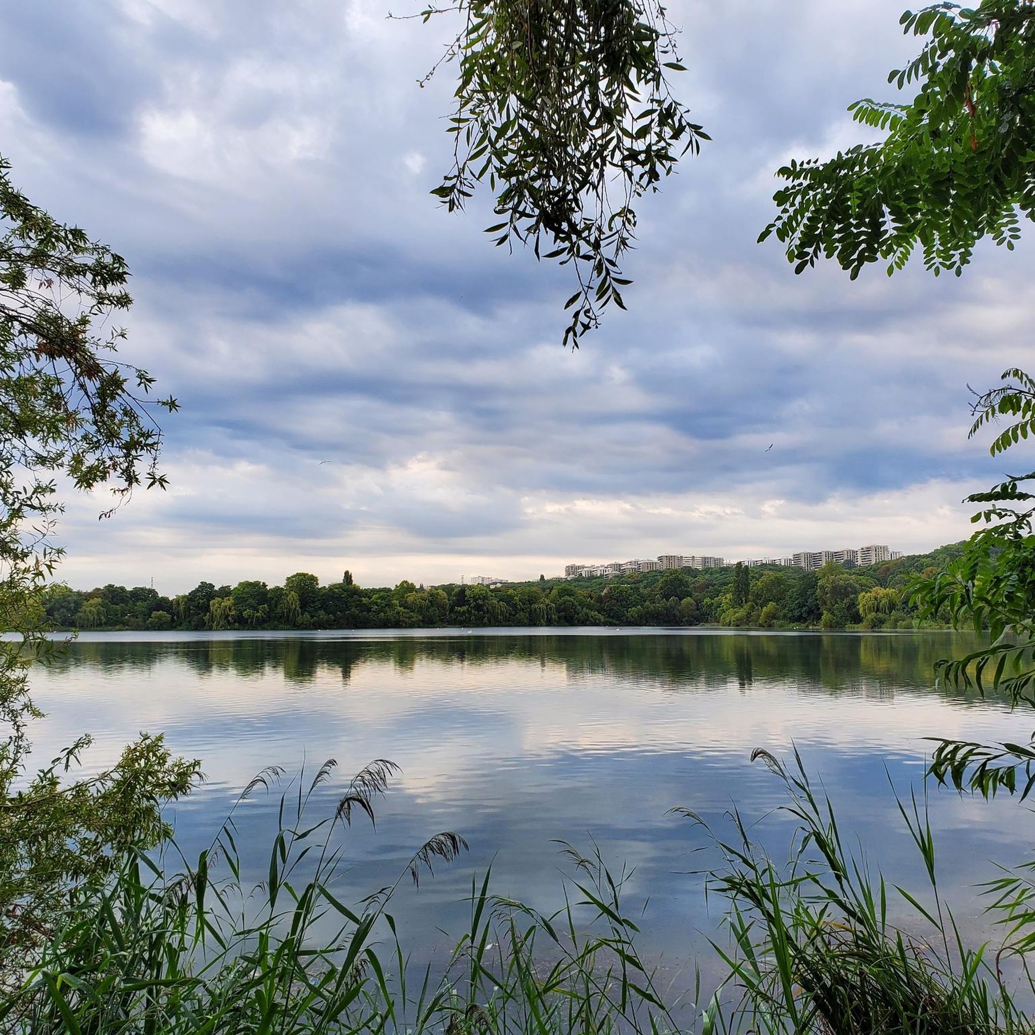
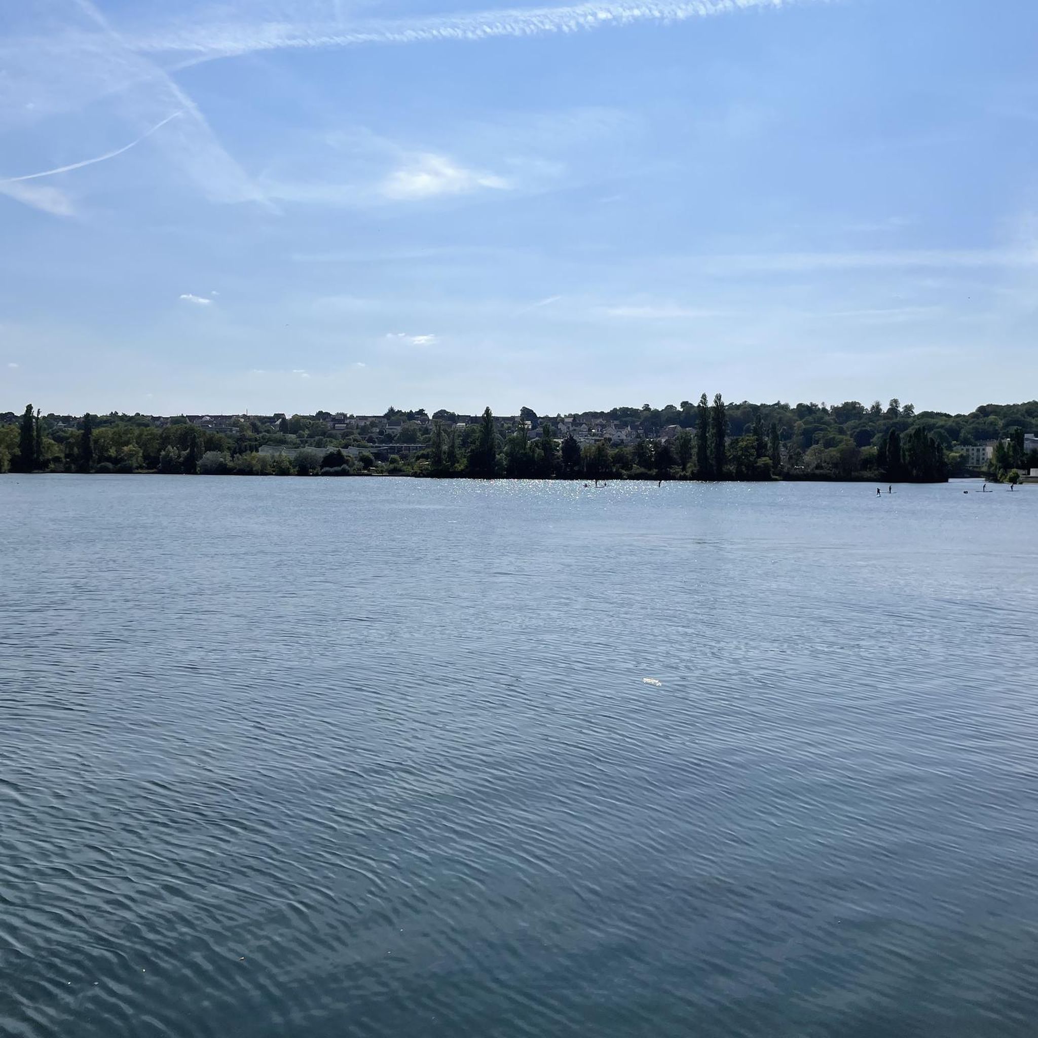
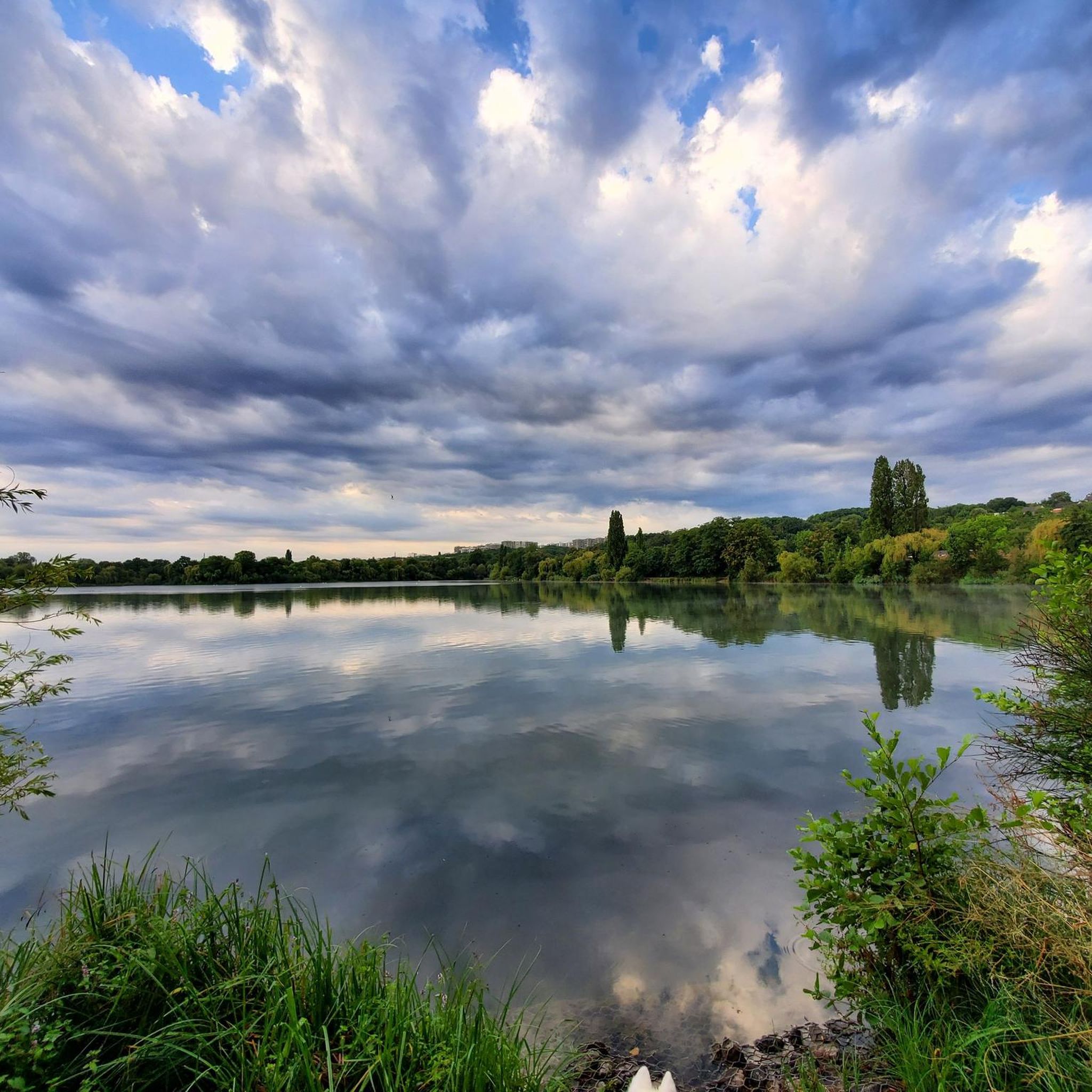

Tips from the Community

A towpath, or "chemin de halage," which runs alongside the river or canal, was an indispensable part of the transportation infrastructure in earlier times. Before ships could be propelled by motors, horses walked along the bank, pulling the vessel against the current. This was called "treideln," and that's how towpaths got their name, which has been passed down to this day. Where these paths, located directly on the riverbank, have been preserved, they are popular with hikers and cyclists.
0
0

Bonus tip: bring food for the ducks
0
0

Beautiful route by bike or on foot to go from the forest of Sénart to the banks of the Seine.
0
0

Vaux-le-Vicomte Castle is beautiful 😉. Absolutely recommended 👍.
1
0

Best done early in the morning as it is very busy during the day.
0
0

a beautiful perspective - worth stopping by or visiting!
1
0
For the perspective of the aisles.
1
0

The famous Voi Royale, reassuring and easy to ride. There are apple trees in good stretches all along. It's ideal for taking a short break.
0
0
Frequently Asked Questions
How many gravel bike trails are there in Viry-Châtillon?
There are over 90 gravel bike routes around Viry-Châtillon, offering a wide variety of options for all skill levels. These include 17 easy routes, 55 moderate routes, and 22 difficult routes.
Are there any easy gravel bike routes suitable for beginners or families in Viry-Châtillon?
Yes, Viry-Châtillon offers several easy gravel bike routes perfect for beginners or families. A great option is the Perray Natural Park – Stroll along the banks of the Orge loop from Juvisy-sur-Orge, which is 22.6 km long and features gentle terrain along the riverbanks and through the natural park.
What are some challenging long-distance gravel bike routes in the area?
For experienced gravel bikers seeking a challenge, consider the Juvisy-sur-Orge to Vaux-le-Vicomte and Fontainebleau route. This difficult trail spans nearly 135 km, traversing extensive forests and open countryside, offering a full day's adventure. Another demanding option is the Les Affolantes – Gros Fouteau Road loop from Savigny-sur-Orge, which covers 127.4 km.
Are there circular gravel bike routes around Viry-Châtillon?
Yes, many gravel routes in the region are designed as loops. For example, the Stroll along the banks of the Orge – Perray Natural Park loop from Juvisy-sur-Orge is a moderate 39.7 km circular path. Another popular loop is the Perray Natural Park – Carouge Basin loop from Savigny-sur-Orge, which is 56 km long.
What kind of natural attractions or viewpoints can I expect to see on the gravel trails?
The gravel trails around Viry-Châtillon offer diverse natural scenery. You can explore the Old Sénart Forest Path, discover various lakes like Carouge Basin and Rut Pond, or visit the Bièvre Basin Bird Observatory for wildlife viewing. Many routes follow riverbanks, providing picturesque views of the Orge and Seine rivers.
Are there any historical landmarks or interesting places to explore along the routes?
Yes, you can encounter several historical and cultural points of interest. The Templars' Bridge is a notable historical structure. You might also pass by the Notre-Dame-de-Bonne-Garde Basilica in Longpont-sur-Orge or the Memorial for the 1945 American Bomber Crash in the Forest of Sénart, offering glimpses into the region's past.
What do other gravel bikers enjoy most about Viry-Châtillon?
The area is highly rated by the komoot community, with an average score of 4.5 stars from over 160 reviews. Reviewers often praise the varied terrain, which includes riverbank paths, natural park trails, and forested sections, providing a good mix of surfaces and scenic beauty.
When is the best time of year for gravel biking in Viry-Châtillon?
Gravel biking in Viry-Châtillon is enjoyable throughout much of the year. Spring and autumn offer pleasant temperatures and vibrant scenery, while summer provides longer daylight hours. Even in winter, many trails remain accessible, though conditions can be muddier, especially in forested areas or after rain.
Is public transport available to access gravel bike trails in Viry-Châtillon?
Many routes in the Viry-Châtillon area are accessible via public transport, particularly those starting from towns like Juvisy-sur-Orge or Savigny-sur-Orge, which have train stations. This allows for convenient access to the trailheads without needing a car.
Are there places to park near the gravel bike trailheads?
Yes, parking is generally available in the towns and villages surrounding the natural parks and river areas, such as near Juvisy-sur-Orge or Savigny-sur-Orge. Specific parking information can often be found on individual route pages on komoot.
Can I find cafes or places to stop for refreshments along the gravel routes?
While the routes often pass through natural areas, many trails connect urban centers or smaller villages where you can find cafes, bakeries, or small shops for refreshments. Planning your route with komoot allows you to identify potential stops along the way.
Most popular routes around Viry-Châtillon
Most popular attractions around Viry-Châtillon

Get inspired with the komoot mobile app


Explore more
Browse the best Gravel rides in other regions.
