The best gravel rides around Köstlach
4.7
(19)
148
riders
21
rides
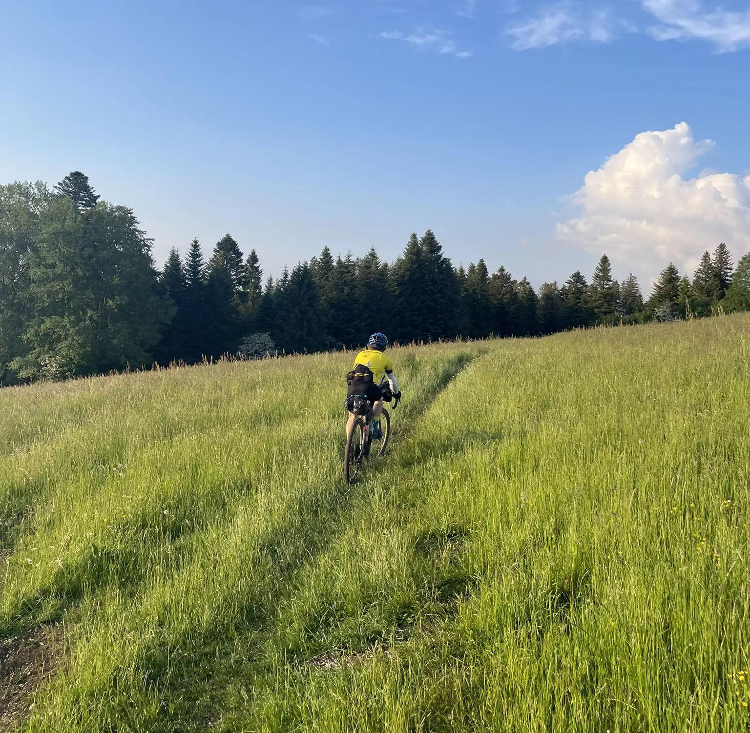
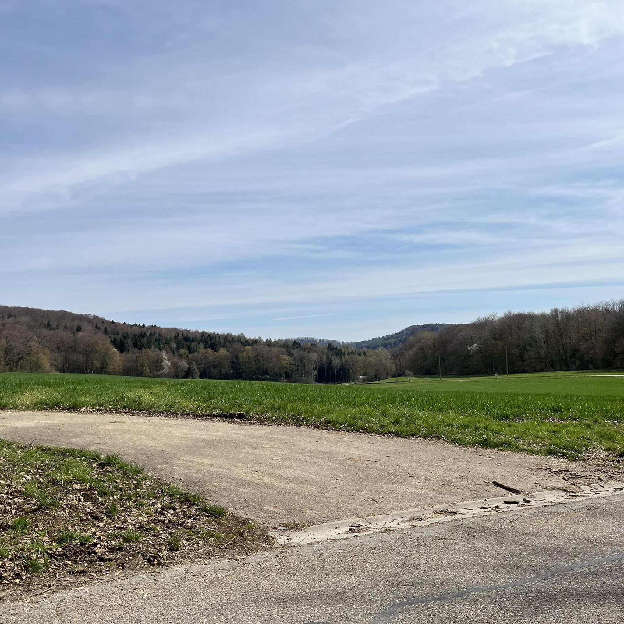
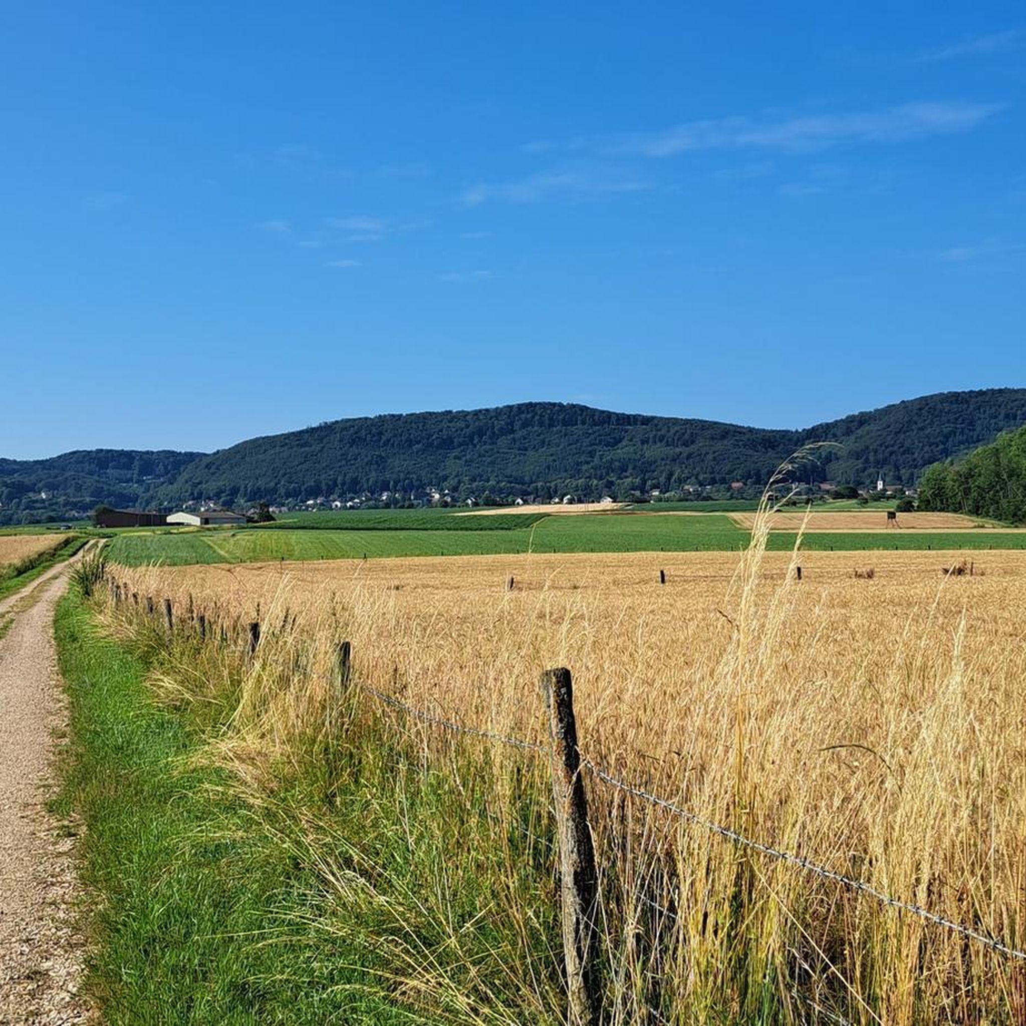
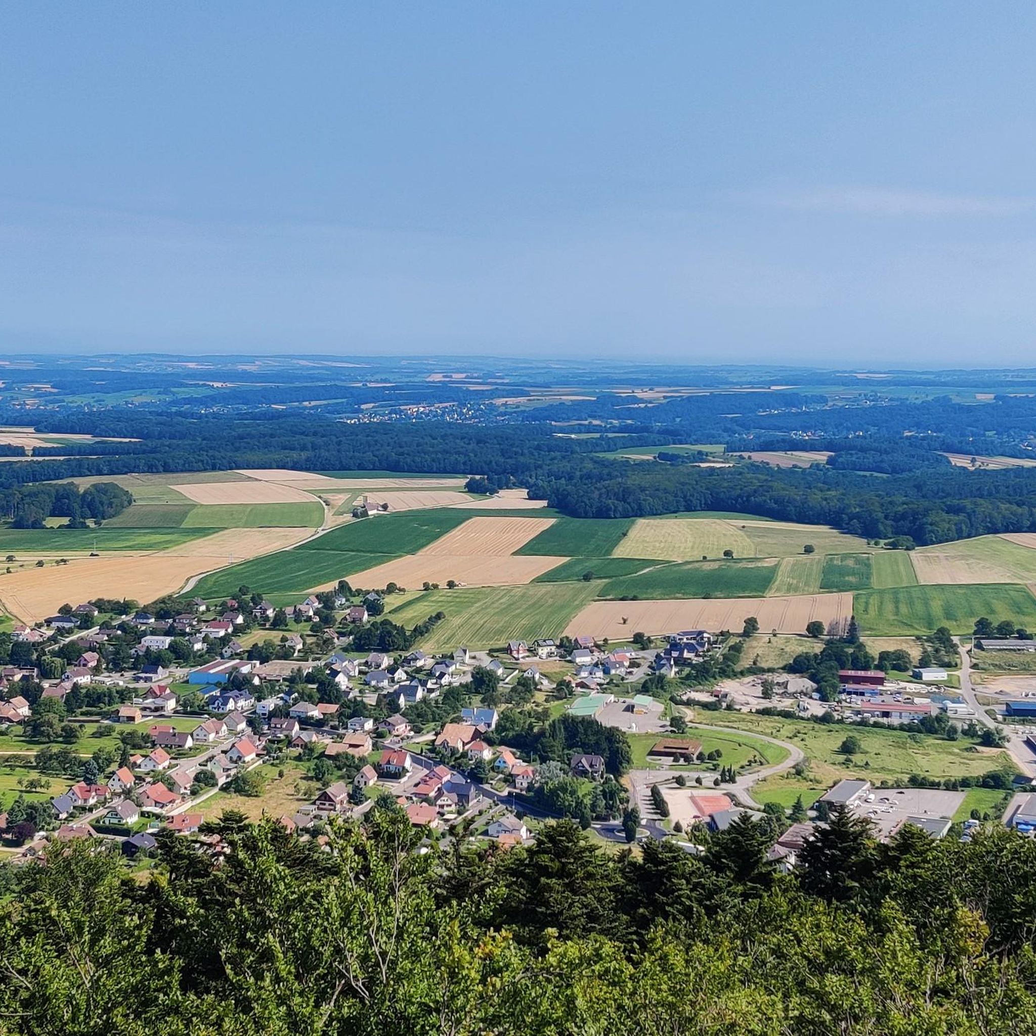
Gravel biking around Köstlach offers a diverse landscape characterized by varied terrain, including both paved and unpaved surfaces. The region features significant elevation gains, with routes traversing valleys and mountainous areas of the Alsatian Jura. This environment provides a mix of challenging climbs and scenic paths suitable for gravel biking. The area's natural features contribute to a varied riding experience.
Best gravel bike trails around Köstlach
- The most popular gravel bike trail is The grand tour of the Alsatian Jura (via Winkel), a 49.8 miles (80.1 km) trail that takes 6 hours 52 minutes to complete. This difficult route features substantial elevation changes through the Alsatian Jura.
- Another top favourite among local gravel bikers is Pond country and the Largue valley, a difficult 33.9 miles (54.5 km) path. This route explores varied terrain, including pond country and the Largue valley, offering a mix of surfaces.
- Local gravel bikers also love the Franco-Swiss gravel outing in the Alsatian Jura, a 41.9 miles (67.5 km) trail leading through the Alsatian Jura, often completed in about 5 hours 36 minutes.
- Gravel biking around Köstlach is defined by varied surfaces, significant elevation gains, and the landscapes of the Alsatian Jura. The network offers options for different ability levels, from moderate to difficult.
- The routes in Köstlach are highly rated by the komoot community with an average score of 4.7 stars from over 16 reviews. More than 130 gravel bikers have used komoot to explore Köstlach's varied terrain.
Last updated: July 2, 2026
4.6
(5)
29
riders
80.1km
06:52
1,130m
1,140m
Hard gravel ride. Very good fitness required. Mostly paved surfaces. Suitable for all skill levels.
5.0
(1)
30
riders
54.5km
04:04
490m
480m
Hard gravel ride. Very good fitness required. Mostly paved surfaces. Suitable for all skill levels.

Sign up for free
5.0
(1)
11
riders
67.5km
05:36
1,170m
1,180m
Hard gravel ride. Very good fitness required. Mostly paved surfaces. Suitable for all skill levels.
5.0
(1)
16
riders
42.4km
03:21
530m
530m
Hard gravel ride. Very good fitness required. Mostly paved surfaces. Suitable for all skill levels.
4.6
(5)
17
riders
60.2km
04:57
840m
840m
Hard gravel ride. Very good fitness required. Mostly paved surfaces. Suitable for all skill levels.
Get access to more routes and recommendations from other explorers.
Sign up for free
Already have an account?
Our route recommendations are based on thousands of hikes, rides, and runs completed by other people on komoot.
Start today with a free account
Your next adventure awaits.
Login or Signup
Popular around Köstlach


Tips from the Community

Beautiful half-timbered houses. Few public benches. Those in front of the church and in the adjacent playground are not sheltered from the wind. If you have a picnic area to recommend, go for it, thank you.
0
0

Next to the restaurant you also have a camping. The camping is quite rudimentary, but its most important asset is the restaurant. Unfortunately it is only open during restaurant hours. You eat well here, but beware, the restaurant appears to be very popular locally. The restaurant runs on its local guests and not on the camping guests. Both are owned by the same owner.
11
0
Oltingue is a quiet village in the Sundgau with a late-classical village ensemble around the church of Saint-Martin (1827–1831), the rectory and the former school. The Callinet organ (1843), the double staircase of the rectory and the facade details are striking. There are several historic houses in the village, including half-timbered houses from 1695 and a farm from the 16th century. To the east lies the chapel of Saint-Brice, a former place of pilgrimage with a baroque altar and an outdoor pulpit.
10
0
This former mother church of Oltingue and three disappeared villages dates from the 13th and 14th centuries. The location is idyllic: surrounded by fields, an old cemetery and often with storks on the roof in the spring. Inside you will discover surprisingly well (?) preserved wall paintings, including a rare representation of the sacrifice of Melchisedech and a Last Supper from 1741. In the choir you will also find a wall tabernacle and a niche for liturgical objects, silent witnesses of medieval rituals. The Gothic arched windows and the neo-Gothic vault are reminders of later restorations, while archaeological excavations in 1989 revealed traces of older sanctuaries and tombs from the early Middle Ages. simple but full of character.
11
0
The white stork (Ciconia ciconia) is one of the most recognisable and beloved symbols of Alsace.
9
0
Raedersdorf is located in the southernmost part of Alsace, in the hilly landscape of the Sundgau, close to the Swiss border. The village is surrounded by forests, springs and hiking trails leading to heritage sites such as the Église Saint-Étienne with its baroque interior and Callinet organ, and the Mariabrunn chapel in the forest. Its location between French-speaking and German-speaking Switzerland makes Raedersdorf a place where cultures come together.
8
0
The church of Raedersdorf was built in its present form between 1807 and 1811, on the foundations of an older church, the tower of which has been partly preserved. The interior was richly decorated in 1811 by sculptor Joseph Antoine Feuerstein, with a harmonious baroque ensemble. The organ was also built in the same year by Jean Frantz. The church was finally consecrated in 1851. It is located in the centre of the village, close to the town hall, and is a silent witness to religious art and village history in the south of Alsace.
10
0

Frequently Asked Questions
How many gravel bike trails are available around Köstlach?
There are over 25 gravel bike trails around Köstlach, offering a diverse range of experiences. The region features a mix of moderate and difficult routes, with 13 moderate and 15 difficult options to choose from.
What kind of terrain can I expect on gravel bike trails in Köstlach?
Gravel biking around Köstlach is characterized by varied terrain, including both paved and unpaved surfaces. You'll encounter significant elevation gains as routes traverse valleys and mountainous areas of the Alsatian Jura, providing a challenging and scenic experience.
Are there any long-distance gravel routes in the Köstlach area?
Yes, Köstlach offers several longer gravel routes. For example, The grand tour of the Alsatian Jura (via Winkel) is a challenging 49.8-mile (80.1 km) trail, and the Franco-Swiss gravel outing in the Alsatian Jura covers 41.9 miles (67.5 km).
What are some notable natural features or attractions I can see along the gravel trails?
The region around Köstlach boasts several natural attractions. You might encounter beautiful lakes like Lucelle Lake or the Étangs de Bonfol. Other interesting natural monuments include the Dwarves' Grotto and the Le Gros Chêne de Sondersdorf. For scenic views, look out for the Loechle Rock.
Are there any gravel routes that cross into Switzerland from Köstlach?
Yes, you can experience cross-border gravel biking. The Franco-Swiss gravel outing in the Alsatian Jura is a popular route that takes you through both French and Swiss landscapes, offering a unique international riding experience.
What is the general difficulty level of gravel biking in Köstlach?
The gravel biking routes around Köstlach are generally considered moderate to difficult. Many routes involve significant elevation gains, with some reaching over 3,000 feet, making them suitable for riders seeking a strenuous workout and rewarding views.
What do other gravel bikers enjoy most about the trails in Köstlach?
The gravel biking experience in Köstlach is highly rated by the komoot community, with an average score of 4.7 stars from over 16 reviews. Riders often praise the varied terrain, the significant elevation changes, and the stunning landscapes of the Alsatian Jura, which provide a great sense of adventure off the beaten track.
Are there any routes that explore the 'pond country' mentioned in the region's description?
Yes, the Pond country and the Largue valley route is a difficult 33.9-mile (54.5 km) path that specifically explores this unique landscape, offering a mix of surfaces and scenic views of the ponds and the Largue valley.
Can I find routes that offer views of the Alsatian Jura foothills?
Absolutely. The The foothills of the Alsatian Jura is a 42.4 km route designed to showcase the beautiful lower slopes and varied terrain of this area, providing a distinct gravel biking experience.
What is the best time of year for gravel biking in Köstlach?
While specific seasonal data isn't provided, the diverse landscapes and varied terrain of Köstlach suggest that spring, summer, and early autumn would be ideal for gravel biking. These seasons typically offer favorable weather conditions for exploring both the valleys and mountainous areas of the Alsatian Jura.
Are there any routes that specifically go through the Alsatian Jura?
Many routes in the area traverse the Alsatian Jura. Beyond the 'Grand Tour' and 'Franco-Swiss outing', the Tour of the Alsatian Jura (via Col de Neuneich) is another excellent option, covering 60.2 km with significant elevation changes through this beautiful region.
Most popular attractions around Köstlach

Get inspired with the komoot mobile app


Explore more
Browse the best Gravel rides in other regions.
