The best gravel rides around Ruy-Montceau
4.1
(21)
141
riders
33
rides
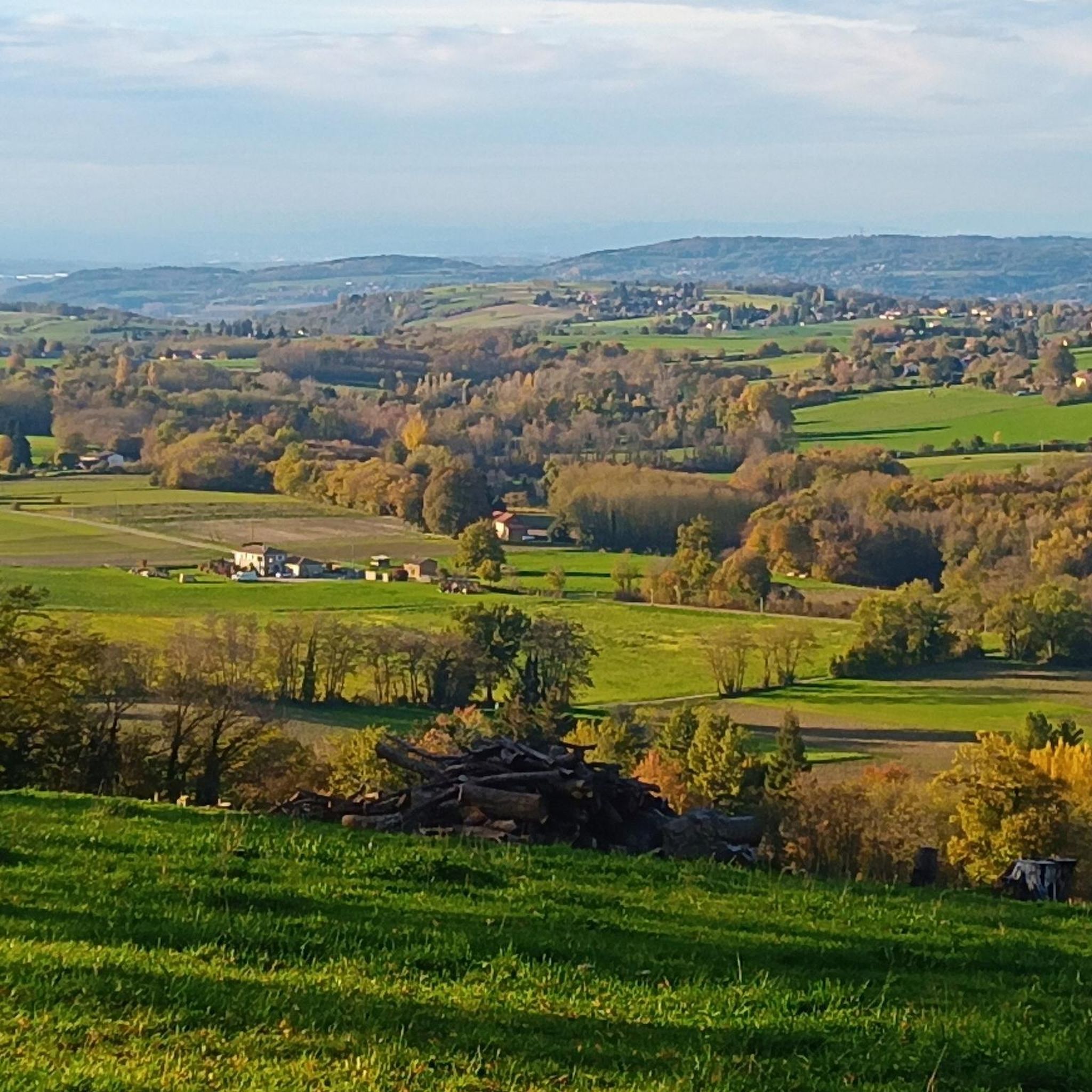
Gravel biking around Ruy-Montceau features a landscape characterized by greenways, agricultural fields, and numerous ponds and small lakes. The terrain often includes a mix of paved and unpaved paths, offering varied surfaces suitable for gravel bikes. Elevation changes are present, with routes incorporating both flatter sections along water bodies and more undulating areas.
Best gravel bike trails around Ruy-Montceau
- The most popular gravel bike trail is Étang de Chalignieu – Crémieu–Morestel Greenway loop from L'Isle-d'Abeau, a 30.4 miles (48.9…
Last updated: October 19, 2026
4.5
(4)
69
riders
76.7km
04:12
460m
460m
Hard gravel ride. Very good fitness required. Mostly paved surfaces. Suitable for all skill levels.
15
riders
51.3km
02:39
170m
170m
Moderate gravel ride. Good fitness required. Mostly paved surfaces. Suitable for all skill levels.

3.5
(4)
9
riders
50.2km
03:20
630m
630m
Hard gravel ride. Very good fitness required. Mostly paved surfaces. Suitable for all skill levels.
4
riders
50.4km
03:18
500m
500m
Hard gravel ride. Very good fitness required. You may need to push your bike for some segments of this route.
7
riders
28.2km
01:37
140m
140m
Easy gravel ride. Great for any fitness level. Mostly paved surfaces. Suitable for all skill levels.
Get access to more routes and recommendations from other explorers.
Already have an account?
Our route recommendations are based on thousands of hikes, rides, and runs completed by other people on komoot.
Start today with a free account
Your next adventure awaits.


Tips from the Community

The Voie verte des Balcons du Dauphiné is a 18-kilometer-long secure cycle and pedestrian path, built on the route of the former Est Lyonnais railway line. It connects the medieval town of Crémieu to the municipality of Arandon-Passins, where it connects directly to the ViaRhôna.
0
0
The commune of Vertrieu, located in the department of Isère within the Balcons du Dauphiné, has the unique particularity of housing two major historical buildings: the Château Vieux (or Maison-Forte) and the Château Neuf (or Château Moderne).
0
0
This rural village, bordered by the Rhône and the spectacular cliffs of Isle Crémieu, has just over 1,200 inhabitants (the Hiérois) and is part of the Balcons du Dauphiné community of municipalities.
0
0
The Voie Verte de la Bourbre is a secure development of about 8.5 kilometers reserved for non-motorized travel (bicycles, pedestrians, strollers, rollerblades). Managed by the CAPI (Communauté d'Agglomération de la Porte de l'Isère), it pleasantly follows the Bourbre river and today connects the towns of Bourgoin-Jallieu, L'Isle-d'Abeau and Vaulx-Milieu.
0
0
Small isolated building in the place called Villieu (former islet in the heart of the Bourgoin marshes), consisting of a small nave lit by a bay on each side and extended by an apse with a lower height than the nave. The facade is pierced by an entrance door surmounted by a basket-handle lintel bearing the inscription 1893 / NOTRE DAME DE VILLEU. https://recensement.patrimoine-religieux.fr/eglises_edifices/38-Isere/38415-Saint-Marcel-Bel-Accueil/150630-ChapelledeVillieu
0
0

Very beautiful village with character, entirely made of stone; from the village, you can see the Madonna of the Larina Archaeological site.
0
0

cycle path very busy in good weather
1
0
A lovely restored and open chapel
0
0
Frequently Asked Questions
What kind of terrain can I expect on gravel bike trails around Ruy-Montceau?
The gravel bike trails in Ruy-Montceau feature a diverse landscape, including greenways, agricultural fields, and numerous ponds and small lakes. You'll encounter a mix of paved and unpaved paths, offering varied surfaces suitable for gravel bikes. The routes often include both flatter sections along water bodies and more undulating areas.
Are there any easy or beginner-friendly gravel bike routes in Ruy-Montceau?
Yes, Ruy-Montceau offers a few easier options suitable for beginners. For instance, the Bourbre Greenway – Étang de la Rosière loop from L'Isle-d'Abeau is a moderate route that provides a good introduction to the area's gravel biking, featuring greenway sections and views of the Étang de la Rosière.
What are the typical distances and durations for gravel bike rides in this region?
Gravel bike routes around Ruy-Montceau vary in length and duration. You can find rides ranging from approximately 21.7 miles (34.9 km) like the Three Waters Pond – Four Winds Pavilion loop from L'Isle-d'Abeau, which takes about 3 hours 13 minutes, to longer routes over 30 miles (48 km) that can take 4 hours or more.
Are there challenging gravel bike trails for experienced riders?
Absolutely. Ruy-Montceau has a significant number of challenging routes. Out of 33 available tours, 16 are rated as difficult. These routes often feature more significant elevation changes and technical sections, providing a good workout for advanced gravel bikers. An example of a difficult route is the Étang de Chalignieu – Crémieu–Morestel Greenway loop from L'Isle-d'Abeau, which covers 30.4 miles (48.9 km) with over 600 meters of elevation gain.
What are some scenic highlights or points of interest along the gravel routes?
The routes often pass by beautiful natural features and local landmarks. You'll frequently encounter picturesque ponds such as the Étang de la Rosière. Some trails also lead through areas with historical significance or offer views of the surrounding agricultural landscape. The Étang de Lancin – ENS Étang de la Serre loop from Saint-Savin, for instance, explores natural areas around ponds, offering a mix of open and wooded scenery.
Are there circular gravel bike routes available?
Yes, many of the gravel bike routes in Ruy-Montceau are designed as loops, allowing you to start and finish at the same point. This is convenient for planning your ride, especially if you're driving to a trailhead. The Enter – Route de Beausoleil loop from Bourgoin-Jallieu is a great example of a circular route, offering a full circuit through the local landscape.
What is the best time of year to go gravel biking in Ruy-Montceau?
Given the landscape of greenways, agricultural fields, and ponds, spring, summer, and early autumn are generally the best times for gravel biking in Ruy-Montceau. During these seasons, the weather is typically mild, and the natural scenery is at its most vibrant. Always check local weather conditions before heading out.
Are there places to stop for refreshments or food along the trails?
While specific cafes directly on every trail are not guaranteed, many routes pass through or near small towns and villages where you can find local establishments for refreshments. Planning your route to include a stop in a village is a good idea, especially for longer rides. It's always recommended to carry sufficient water and snacks.
What do other gravel bikers say about the routes in Ruy-Montceau?
The gravel biking routes in Ruy-Montceau are highly regarded by the komoot community, with an average rating of 4.1 stars from over 17 reviews. Users often praise the varied terrain, the scenic views of ponds and greenways, and the options available for different skill levels. Many appreciate the peaceful agricultural landscapes and the well-maintained paths.
Are there any historical or cultural landmarks to visit near the gravel trails?
Beyond the natural beauty, the region offers some interesting landmarks. For example, the Chateau de Chapeau Cornu is a notable historical site nearby. You can also find religious buildings like the Chapelle Sainte-Anne and the Saint Joseph Chapel, which add cultural interest to your exploration of the area.
What are the typical trail conditions like, and do they change seasonally?
The trails primarily consist of a mix of paved and unpaved surfaces, including compacted gravel paths, dirt tracks through agricultural areas, and dedicated greenways. Conditions are generally good in dry weather. During wetter seasons, some unpaved sections might become muddy or soft, especially in agricultural fields, so appropriate tire choice and caution are advised.
Most popular routes around Ruy-Montceau
Most popular attractions around Ruy-Montceau

Get inspired with the komoot mobile app


Explore more
Browse the best Gravel rides in other regions.
