The best gravel rides around Linthal
4.3
(29)
365
riders
56
rides
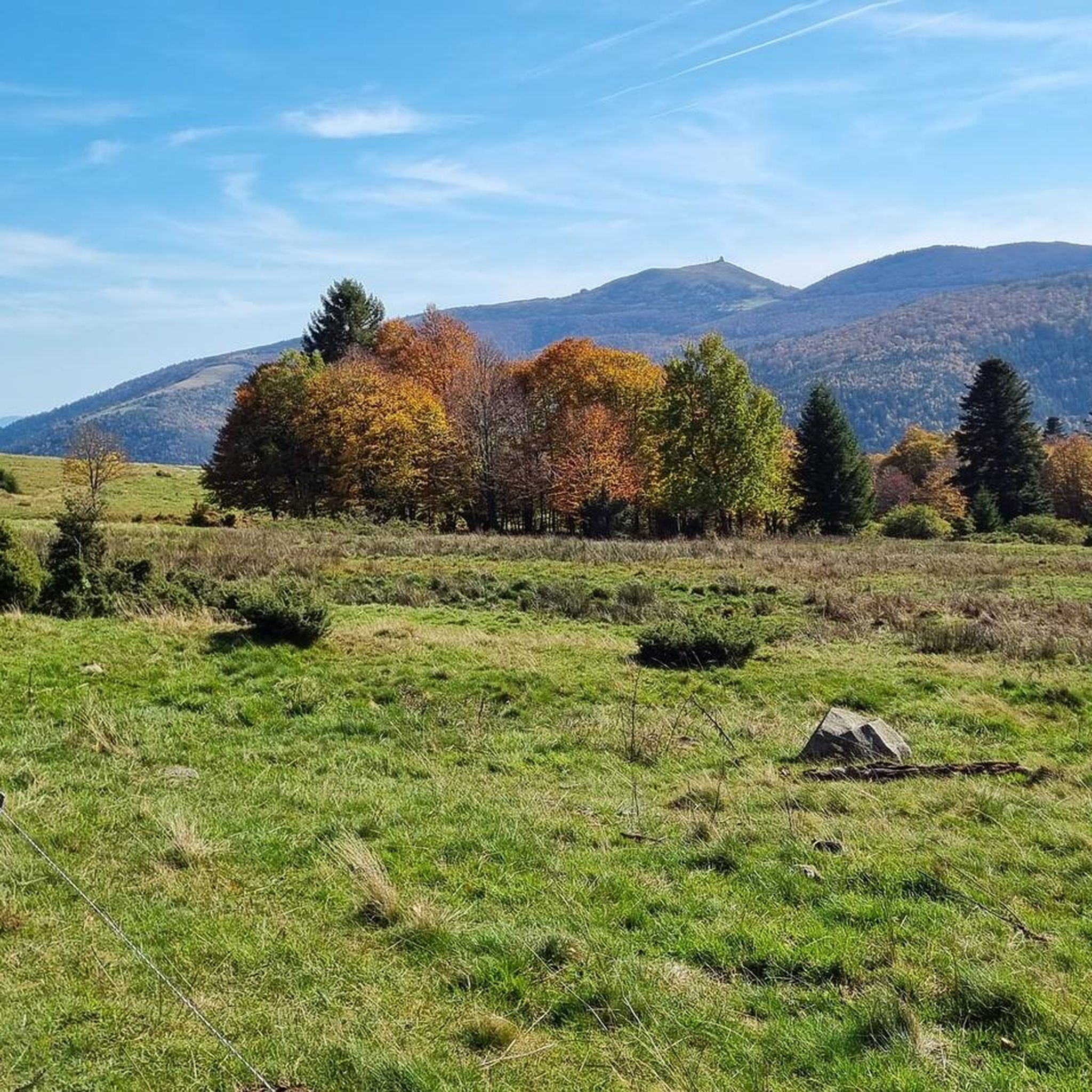
Gravel biking around Linthal is characterized by diverse alpine landscapes and significant elevation changes within the upper Linth Valley. The region features dramatic mountain backdrops, including peaks of the Glarus Alps, and the scenic Linthschlucht gorge. Gravel bike trails navigate through a mix of demanding ascents, picturesque valleys, and high-altitude areas, offering varied terrain for cyclists. The area provides routes that traverse both paved and unpaved segments, often connecting prominent passes and offering panoramic views.
Best gravel bike trails around Linthal
- The most popular gravel bike trail is Turckheim town centre – Munster loop from Munster, a 20.0 miles (32.1 km) trail that takes 2 hours 3 minutes to complete. This moderate route offers varied gradients through the valley.
- Another top favourite among local gravel bikers is Munster – Munster Protestant Church loop from Muhlbach-sur-Munster, a difficult 37.4 miles (60.2 km) path. This challenging loop includes substantial elevation gain, traversing high-altitude areas.
- Local gravel bikers also love the Lake Fischboedle – La route des crêtes loop from Metzeral, a 20.7 miles (33.3 km) trail leading through alpine terrain with significant climbs, often completed in about 2 hours 47 minutes.
- Gravel biking around Linthal is defined by alpine valleys, high mountain passes, and dramatic gorges. The network offers options for various ability levels, including challenging routes with significant elevation gain.
- The routes in Linthal are highly rated by the komoot community with an average score of 4.1 stars from over 20 reviews. More than 200 gravel bikers have used komoot to explore Linthal's varied terrain.
Last updated: July 3, 2026
5.0
(3)
56
riders
55.5km
03:57
1,220m
1,220m
Hard gravel ride. Very good fitness required. Mostly paved surfaces. Suitable for all skill levels.
4.5
(2)
8
riders
33.2km
02:47
940m
940m
Hard gravel ride. Very good fitness required. Mostly paved surfaces. Suitable for all skill levels.

Sign up for free
4.7
(3)
18
riders
51.1km
03:44
1,200m
1,200m
Hard gravel ride. Very good fitness required. Mostly paved surfaces. Suitable for all skill levels.
9
riders
72.3km
06:17
1,910m
1,910m
Hard gravel ride. Very good fitness required. Mostly paved surfaces. Suitable for all skill levels.
4.5
(2)
16
riders
49.6km
03:41
1,240m
1,240m
Hard gravel ride. Very good fitness required. Mostly paved surfaces. Suitable for all skill levels.
Get access to more routes and recommendations from other explorers.
Sign up for free
Already have an account?
Our route recommendations are based on thousands of hikes, rides, and runs completed by other people on komoot.
Start today with a free account
Your next adventure awaits.
Login or Signup
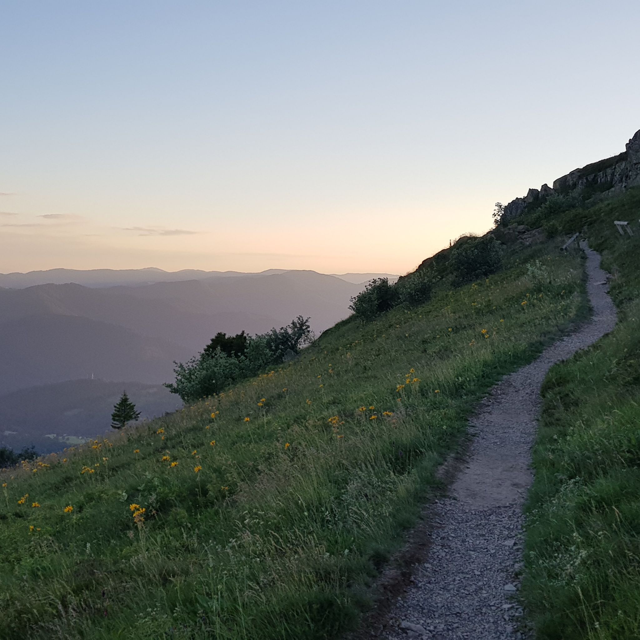
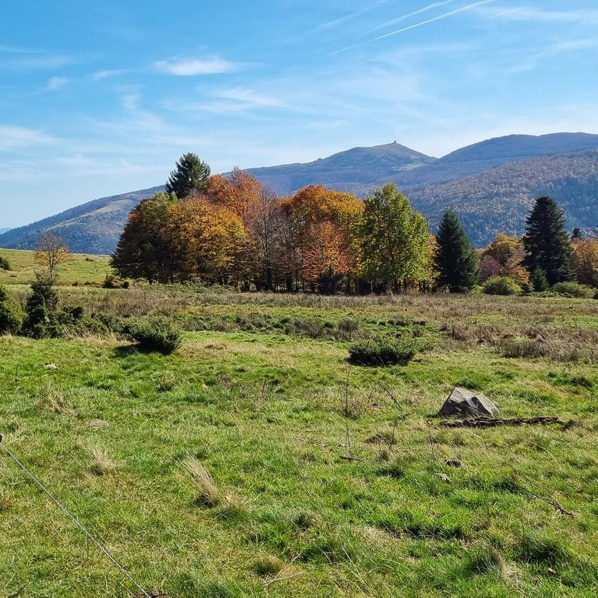
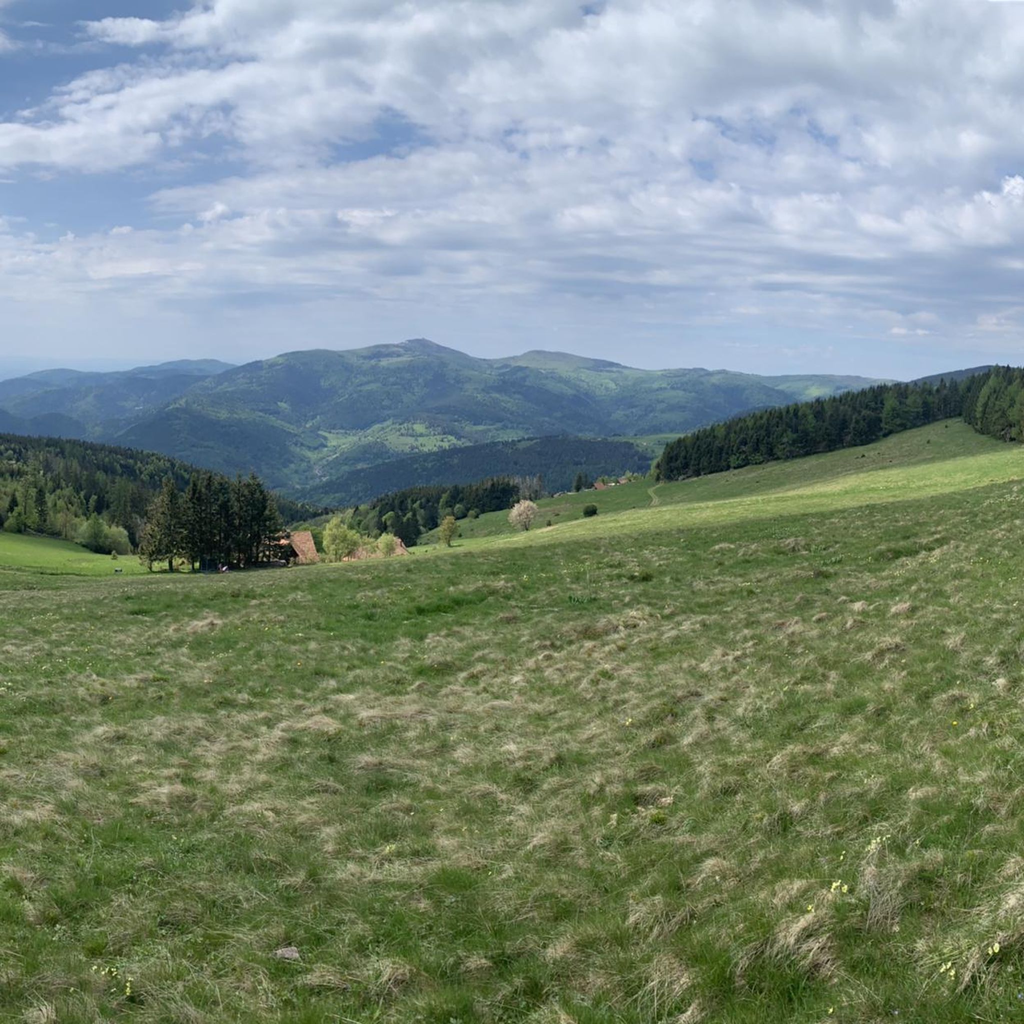
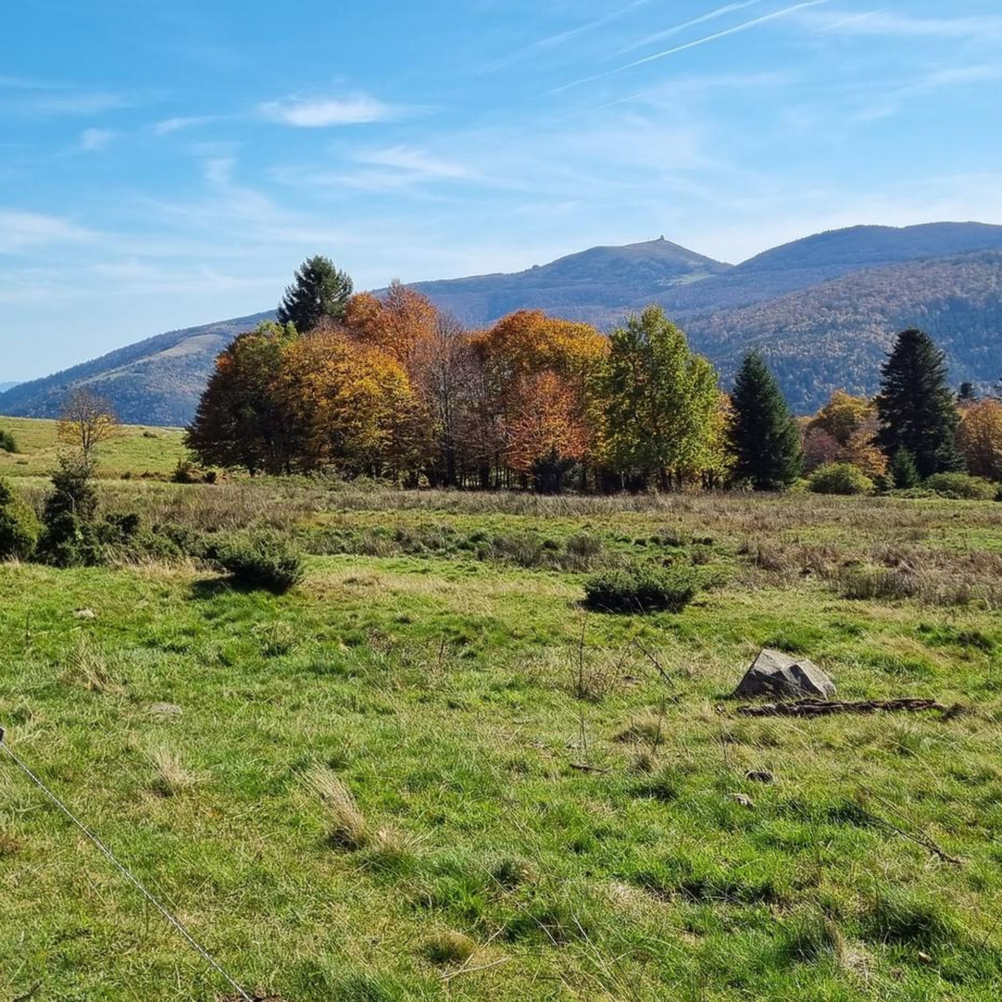

Tips from the Community


Lovingly nicknamed "the Autobahn" by me, it leads from Geishouse up to the Col du Haag, and is designed so that there is rarely a gradient over 10%. The Tour de France also rides up here 😬
0
0

Pretty little village, ideal for hiking starting and finishing points, as there is a train station.
1
0

Great bike path, best asphalt, steep ramps
0
0


It's a dedicated cycle path with a good surface and road markings. There are no cars, despite the winding road. It's a great ride for both ascents and descents, and the scenery is beautiful.
0
0

The artificially created, yet idyllically situated "Lac de la Lauch" lake is featured in the komoot system not only for joggers, but also as a highlight for various sports, including hikers, with many more photos uploaded there. If you're interested, see =>>https://www.komoot.com/de-de/highlight/308200
0
0

A beautiful climb with very little traffic. The beginning in Gueberschwihr is quite steep, followed by moderate and steady climbing to the Col du Firstplan.
0
0
Frequently Asked Questions
Are there gravel bike trails suitable for beginners in Linthal?
While Linthal is known for its challenging mountainous terrain, there are a few routes that are less demanding. Out of approximately 70 gravel bike routes, 2 are classified as easy and 12 as moderate, offering options for those new to gravel biking or looking for a more relaxed ride.
What are the typical lengths and elevation gains for gravel bike trails in Linthal?
Gravel bike trails in Linthal vary significantly. For instance, the Col de Bramont – La route des crêtes loop from Grand Ballon is 41.2 miles (66.3 km) with over 1,480 meters of elevation gain, while the La route des crêtes – The ridge road loop from Metzeral is 20.6 miles (33.2 km) with about 936 meters of ascent. Expect significant climbs and descents across most routes due to the region's mountainous character.
Which gravel bike routes in Linthal are considered challenging?
Linthal is predominantly a destination for experienced gravel bikers, with 56 out of 70 routes classified as difficult. Notable challenging routes include the Markstein – Grand Ballon loop from Geishouse, which covers 39.9 miles (64.4 km) with over 1,400 meters of elevation, and the Grand Ballon – Markstein loop from Mittlach, a 51 km route with nearly 1,200 meters of climbing.
When is the best time of year to go gravel biking in Linthal?
Given the high-altitude loops, mountain passes, and ridge roads, the best time for gravel biking in Linthal is typically from late spring through early autumn (May to October). During these months, trails are generally free of snow, and weather conditions are more favorable for sustained climbs and descents.
What kind of terrain and trail conditions can I expect on Linthal's gravel bike routes?
Linthal's gravel bike routes are characterized by mountainous terrain with varied gradients. You'll encounter a mix of surfaces typical for gravel riding, including compacted dirt, loose gravel, and potentially some paved sections connecting mountain passes and ridge roads. Expect significant elevation changes throughout your ride.
Are there any loop gravel bike routes available in Linthal?
Yes, many of Linthal's gravel bike routes are designed as loops, allowing you to start and finish in the same location. Examples include the Col de Bramont – La route des crêtes loop from Grand Ballon and the Pinot Bend – Col de Petit Ballon Pass loop from Mittlach.
What scenic views can I expect on gravel bike routes around Linthal?
The region offers panoramic views from its elevated areas, connecting prominent peaks and passes. Many routes traverse ridge roads, providing expansive vistas of the surrounding landscape. Highlights like Grand Ballon and Petit Ballon are frequently part of these scenic rides.
What do other gravel bikers enjoy most about the trails in Linthal?
The komoot community rates Linthal's gravel bike routes highly, with an average score of 4.4 stars from over 60 reviews. Riders often praise the challenging nature of the routes, the stunning panoramic views from the high-altitude sections, and the unique experience of riding along mountain passes and ridge roads.
Are there any natural attractions or landmarks to see along the gravel bike trails in Linthal?
Yes, several natural attractions and landmarks are accessible near or along the routes. You can find highlights such as the Grand Ballon and Petit Ballon summits, as well as picturesque bodies of water like Lake Schiessrothried and Lake Fischboedle.
How many gravel bike routes are available in the Linthal area?
There are approximately 70 gravel bike routes available in the Linthal area, offering a wide range of options primarily for experienced riders, but also including some easier and moderate trails.
Can I find less-known or quieter gravel bike trails in Linthal?
While some routes are more popular, the extensive network of trails in Linthal, especially those traversing high-altitude areas and connecting various passes, means you can often find quieter sections. Exploring routes that are not the absolute top favorites might lead you to less crowded paths, though the region's challenging nature means most routes offer a sense of adventure.
Most popular routes around Linthal
Most popular attractions around Linthal

Get inspired with the komoot mobile app


Explore more
Browse the best Gravel rides in other regions.
