The best gravel rides around Handschuheim
4.4
(29)
158
riders
40
rides
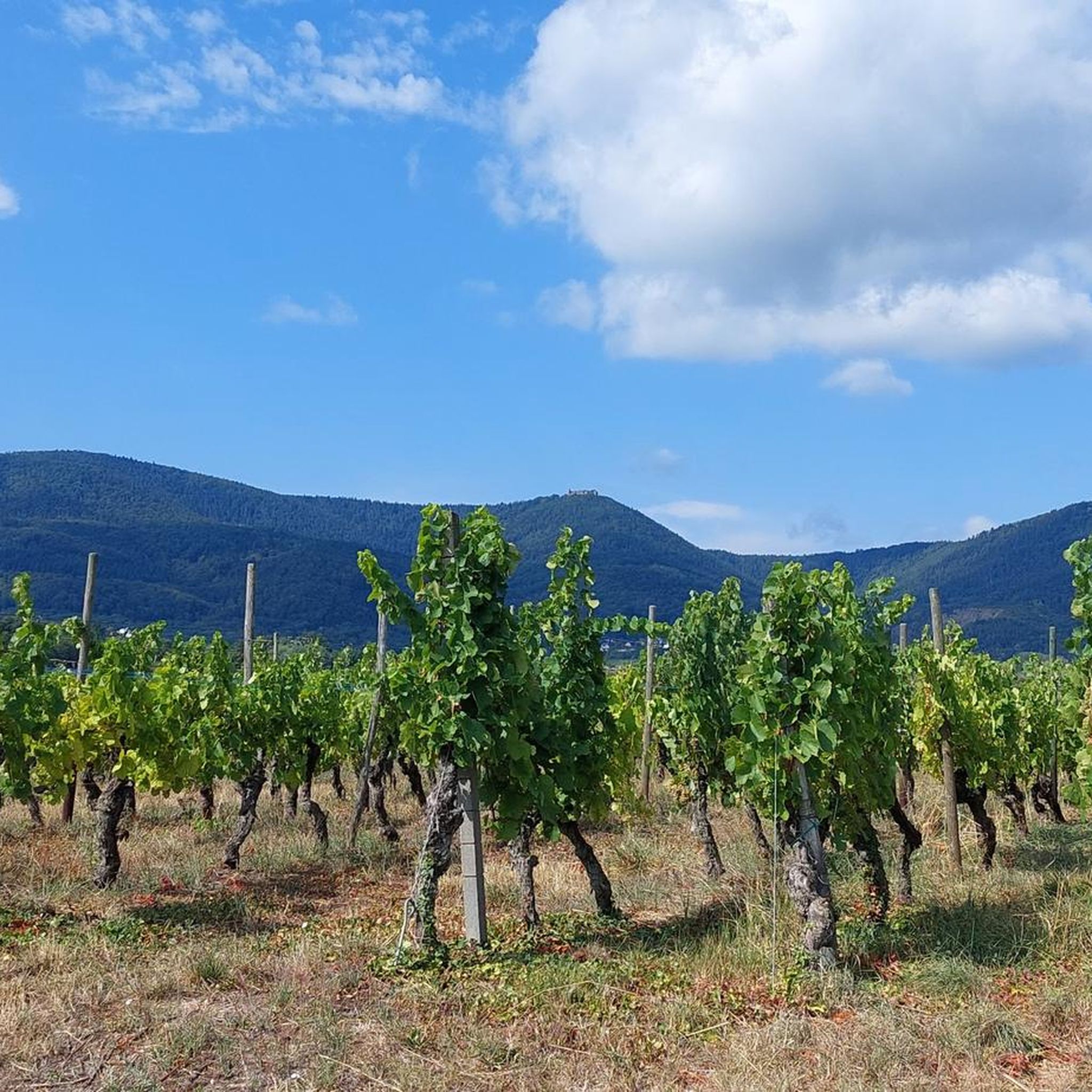
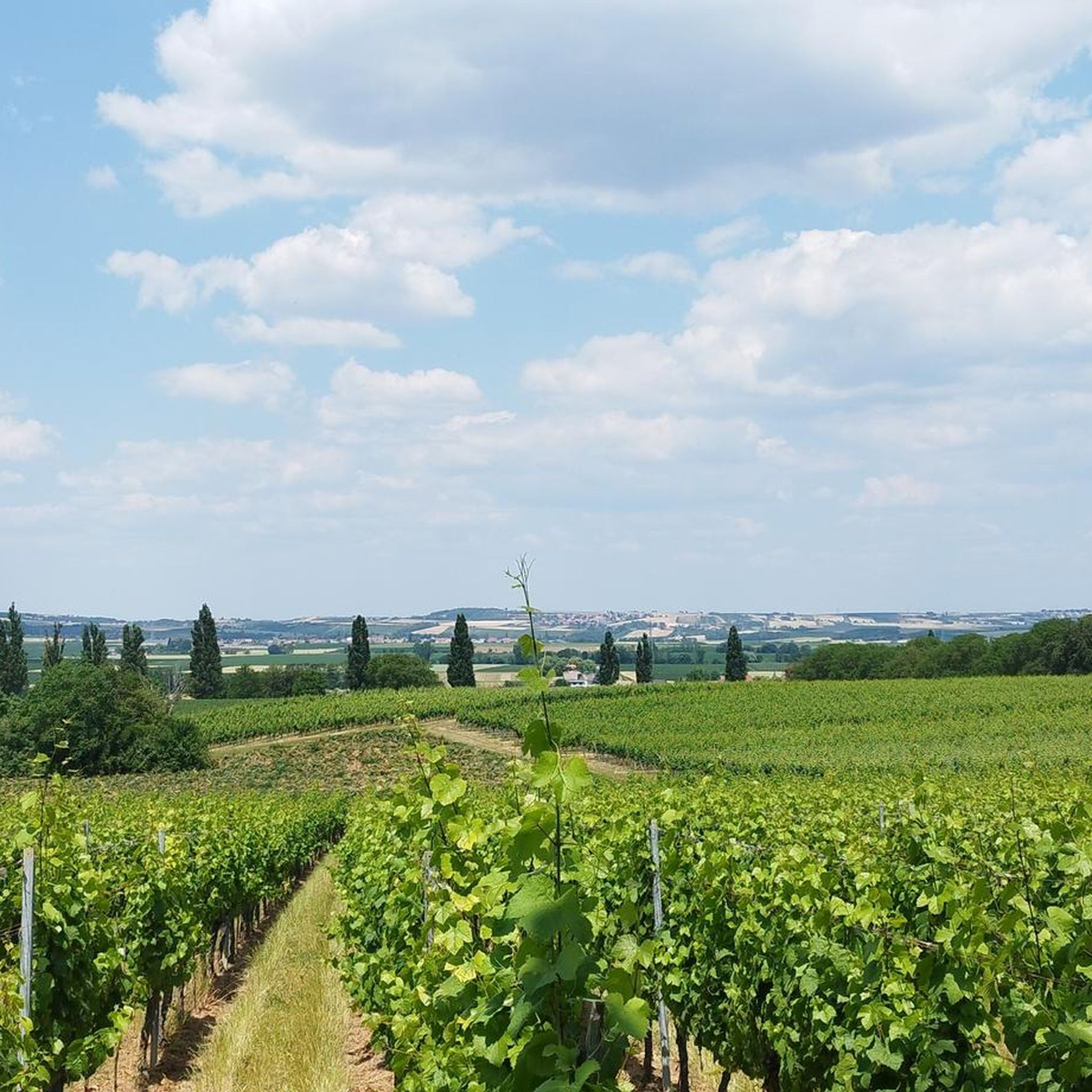
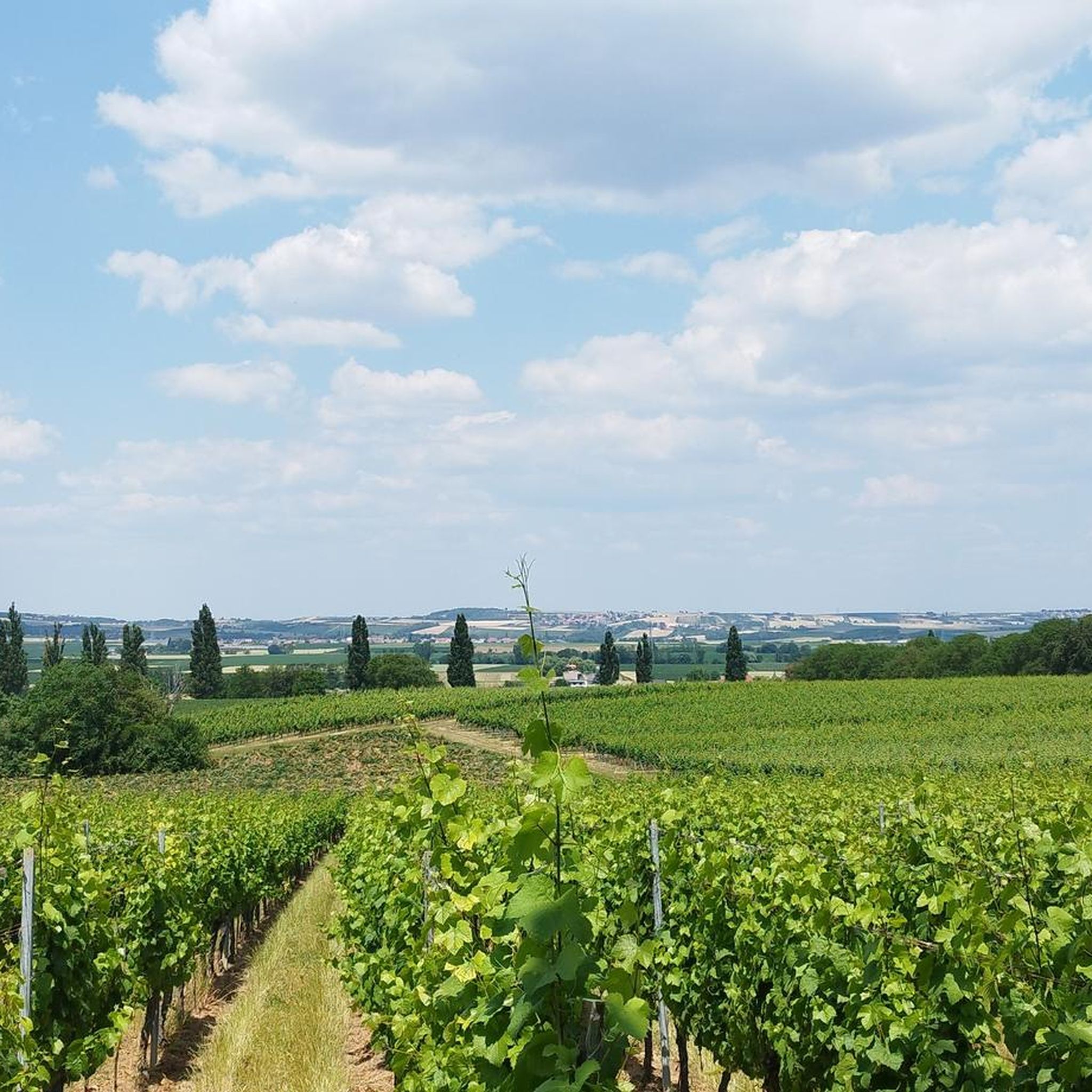
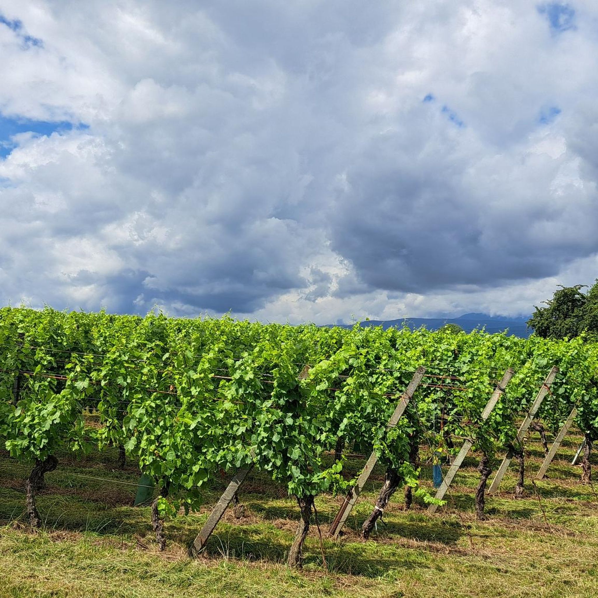
Gravel biking around Handschuheim offers a diverse landscape for riders, characterized by a mix of flat canal paths, rolling agricultural fields, and forested hills. The region provides varied terrain for gravel cyclists, with routes often following waterways like the Canal de la Bruche and ascending into the foothills. This network of unpaved roads and forest tracks makes it suitable for exploring on a gravel bike, offering both gentle gradients and more challenging climbs.
Best gravel bike trails around Handschuheim
- The most popular gravel bike trail is Sacre Coeur (Horn) – Relais du Geisweg loop from Furdenheim, a 51.8 miles (83.3 km) trail that takes 6 hours 42 minutes to complete. This difficult route features significant elevation gain through forested hills.
- Another top favourite among local gravel bikers is Relais du Geisweg – Molsheim Old Town loop from Molsheim, a difficult 42.9 miles (69.2 km) path. This route leads through varied terrain with notable elevation changes.
- Local gravel bikers also love the Bruche Canal – Col des Pandours loop from Ergersheim, a 27.4 miles (44.2 km) trail leading through varied terrain including ascents, often completed in about 2 hours 53 minutes.
- Gravel biking around Handschuheim is defined by canal paths, dense woodlands, and rolling hills. The network offers options for different ability levels, from beginner gravel bike routes to advanced gravel biking.
- The routes in Handschuheim are highly rated by the komoot community with an average score of 3.9 stars from over 10 reviews. More than 80 gravel bikers have used komoot to explore Handschuheim's varied terrain.
Last updated: July 3, 2026
4.7
(3)
48
riders
94.3km
05:26
510m
510m
Hard gravel ride. Very good fitness required. Mostly paved surfaces. Suitable for all skill levels.
5.0
(1)
8
riders
83.5km
06:32
1,420m
1,420m
Hard gravel ride. Very good fitness required. Mostly paved surfaces. Suitable for all skill levels.

Sign up for free
4.3
(3)
18
riders
69.1km
05:09
1,190m
1,190m
Hard gravel ride. Very good fitness required. You may need to push your bike for some segments of this route.
4.5
(2)
4
riders
44.1km
02:52
690m
690m
Hard gravel ride. Very good fitness required. Mostly paved surfaces. Suitable for all skill levels.
5.0
(7)
12
riders
52.2km
03:20
540m
540m
Hard gravel ride. Very good fitness required. Mostly paved surfaces. Suitable for all skill levels.
Get access to more routes and recommendations from other explorers.
Sign up for free
Already have an account?
Our route recommendations are based on thousands of hikes, rides, and runs completed by other people on komoot.
Start today with a free account
Your next adventure awaits.
Login or Signup

Tips from the Community

Beautiful cycle path, initially wide, later narrower but also less busy, always next to the canal, past some locks which you can also admire in action now and then.
0
0

Saverne was already a Roman military post in the 4th century. From the 15th century until the French Revolution, Saverne was the residence of the powerful bishops of Strasbourg. The Château de Rohan, which boasts the longest neoclassical façade of any building in France, still bears witness to this.
1
0
Very nice to ride: moderate gradient, little traffic.
0
1

idyllic riverside cycle path, many cyclists, joggers and walkers
0
0

I love coming here to Saverne. The town has such a wonderful atmosphere.
0
0

Next to the bridge there is a picnic table
0
0

A tour through Molsheim is worthwhile with its beautiful preserved houses and churches
0
0

Nice little town with lots of half-timbered houses and opportunities to take a break
1
0
Frequently Asked Questions
What are the difficulty levels of gravel bike trails around Handschuheim?
The Handschuheim region offers a good mix of challenges. You'll find 7 easy routes, 33 moderate routes, and 29 difficult routes, catering to various skill levels. The terrain ranges from flat canal paths to challenging climbs in forested hills.
What is the typical length of gravel bike trails in the Handschuheim area?
Gravel bike trails in Handschuheim vary significantly in length. For instance, routes like the Bruche Canal – Col des Pandours loop from Ergersheim are around 44 km, while longer options such as the Sacre Coeur (Horn) – Relais du Geisweg loop from Furdenheim can extend to over 85 km.
Are there beginner-friendly gravel bike routes in Handschuheim?
Yes, Handschuheim has several options suitable for beginners. There are 7 easy routes available, often following the flatter sections along waterways like the Canal de la Bruche. These paths provide a gentle introduction to gravel biking.
What options are available for advanced gravel bikers in Handschuheim?
Advanced riders will find plenty to challenge them, with 29 difficult routes in the area. These often involve significant elevation gain through forested hills, such as the Mont Sainte-Odile Abbey – Mount Saint Odile loop from Ittenheim, which includes ascents to Mont Sainte-Odile.
Are there family-friendly gravel trails suitable for all ages around Handschuheim?
For families, the flatter sections along the canals are ideal. Routes that stick to the Canal de la Bruche cycle path offer a safe and enjoyable experience away from traffic, perfect for riders of all ages.
What is the best time of year for gravel biking in Handschuheim?
The region is generally pleasant for gravel biking from spring through autumn. Spring brings blooming landscapes, while autumn offers beautiful foliage. Summers are also good, but it's always wise to check local weather forecasts, especially for warmer days.
Are there circular gravel bike routes available in Handschuheim?
Many of the gravel routes around Handschuheim are designed as loops, allowing you to start and finish at the same point. Examples include the Canal de la Bruche – Canal de la Bruche loop from Duppigheim and the Canal de la Bruche – Rheinauen Wilderness Trail loop from Duppigheim.
What can I see along the gravel bike trails in Handschuheim?
Many routes follow the scenic Canal de la Bruche, offering waterside views. You might also encounter charming villages, agricultural fields, and dense woodlands. Some routes ascend into the foothills, providing panoramic viewpoints.
Are there any cafes or refreshment stops along the gravel bike trails?
Yes, you can find places to refuel. For example, the Lock House No. 3 – Cyclists' Refreshment Stop is a notable spot along the Canal de la Bruche where you can take a break.
What do other gravel bikers enjoy the most about gravel biking in Handschuheim?
The area is highly rated by the komoot community, with an average score of 4.5 stars from over 30 reviews. Reviewers often praise the diverse landscape, which combines flat canal paths with challenging climbs, and the extensive network of unpaved roads and forest tracks.
How many gravel bike trails are there in Handschuheim?
There are over 60 gravel bike trails available for exploration around Handschuheim, offering a wide variety of distances and difficulty levels to suit every rider.
Most popular routes around Handschuheim
Most popular attractions around Handschuheim

Get inspired with the komoot mobile app


Explore more
Browse the best Gravel rides in other regions.
