The best gravel rides around Düringen
4.4
(23)
126
riders
41
rides
Gravel biking around Düringen offers routes through varied landscapes, characterized by forests, lakes, and historical sites. The terrain includes gentle ascents and descents, with some routes featuring more significant elevation changes. This region provides a mix of natural paths and forest roads suitable for gravel cyclists.
Best gravel bike trails around Düringen
- The most popular gravel bike trail is La porte d'Alsace, an easy 12.7 miles (20.5 km) trail that takes about 1 hour 30 minutes to complete. This…
Last updated: October 19, 2026
4.0
(5)
7
riders
20.5km
01:30
90m
90m
Easy gravel ride. Great for any fitness level. Mostly paved surfaces. Suitable for all skill levels.
5.0
(4)
28
riders
100km
05:57
740m
740m
Hard gravel ride. Very good fitness required. Mostly paved surfaces. Suitable for all skill levels.

5.0
(3)
11
riders
31.8km
01:57
240m
240m
Moderate gravel ride. Good fitness required. Mostly paved surfaces. Suitable for all skill levels.
5.0
(3)
17
riders
33.9km
02:06
240m
240m
Hard gravel ride. Good fitness required. You may need to push your bike for some segments of this route.
4.0
(1)
17
riders
64.2km
03:53
530m
530m
Hard gravel ride. Very good fitness required. Mostly paved surfaces. Suitable for all skill levels.
Get access to more routes and recommendations from other explorers.
Already have an account?
Our route recommendations are based on thousands of hikes, rides, and runs completed by other people on komoot.
Start today with a free account
Your next adventure awaits.
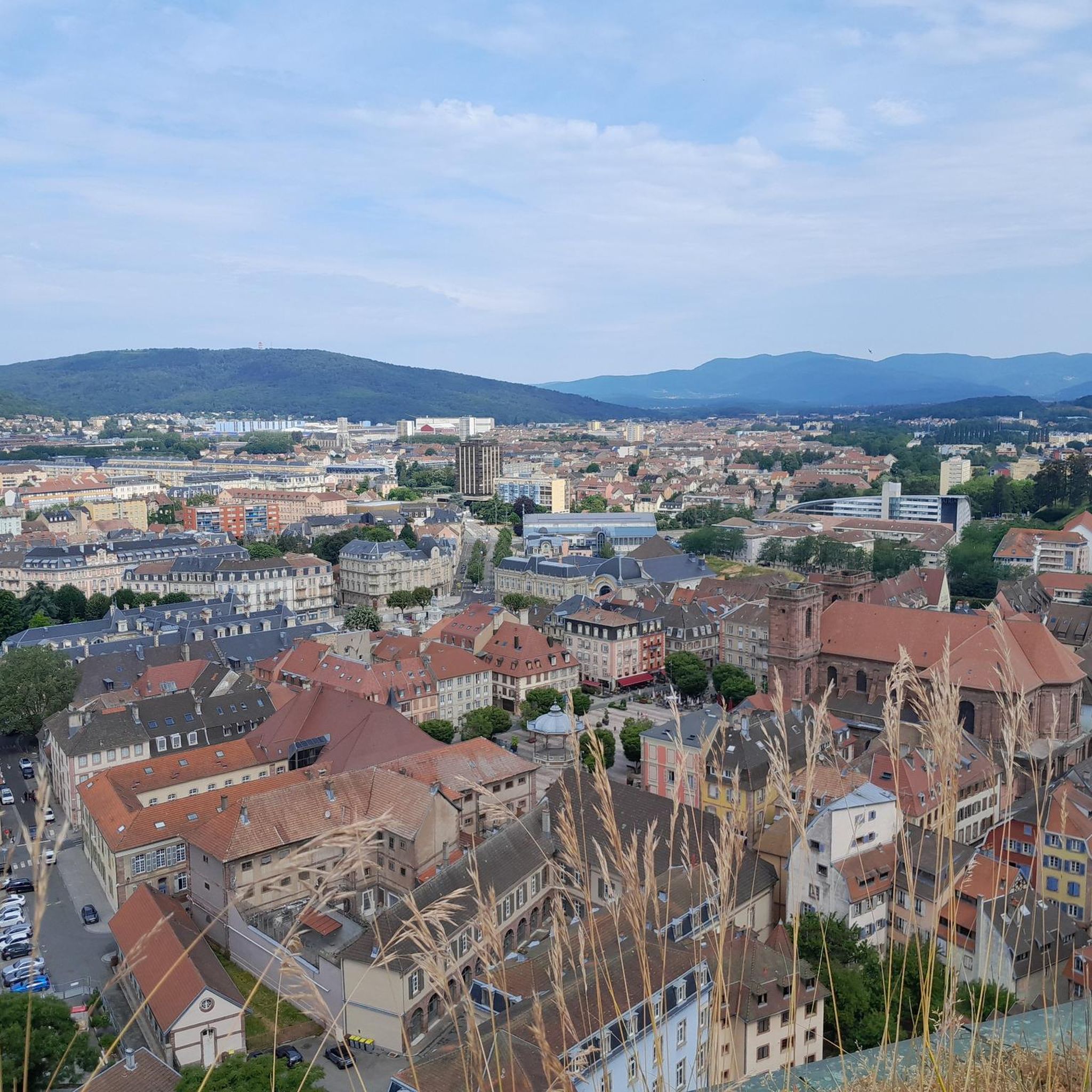

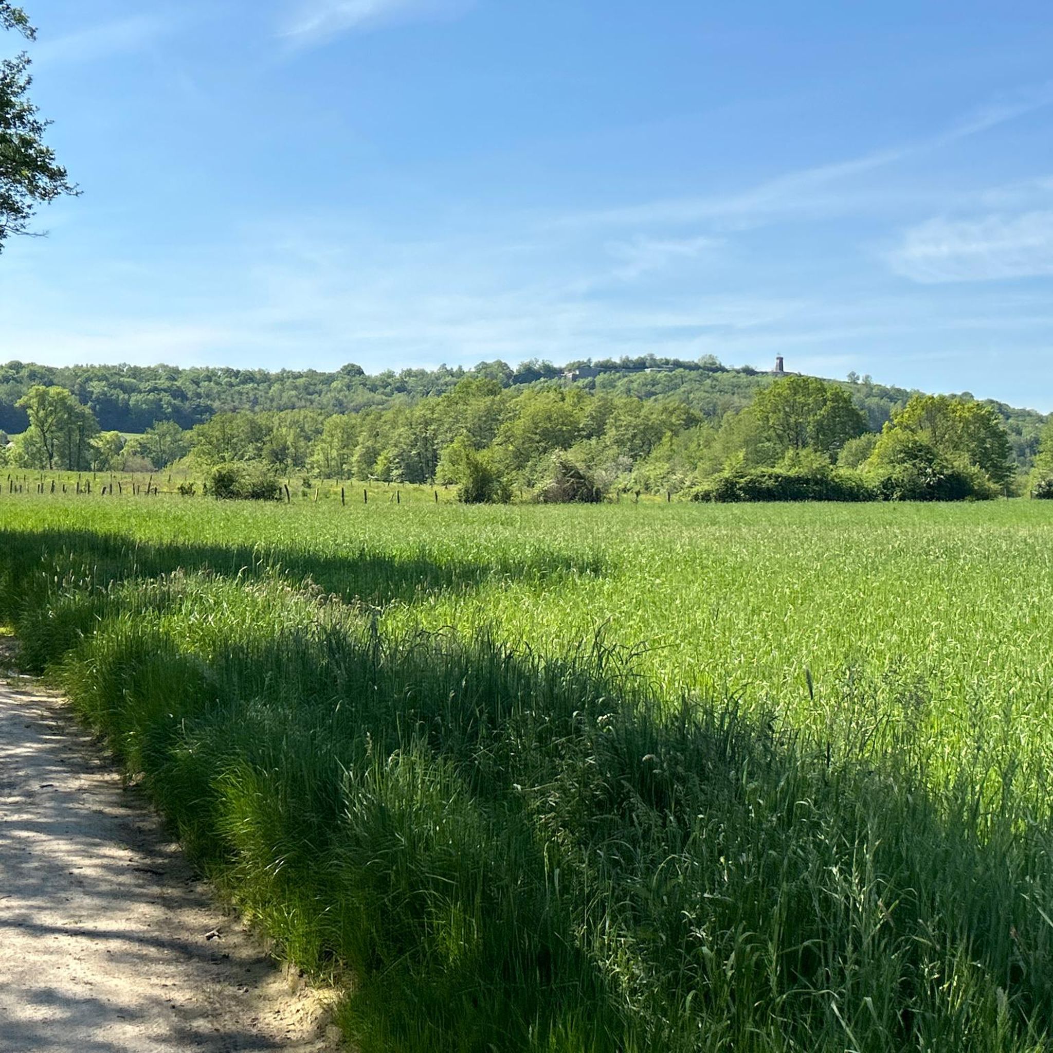

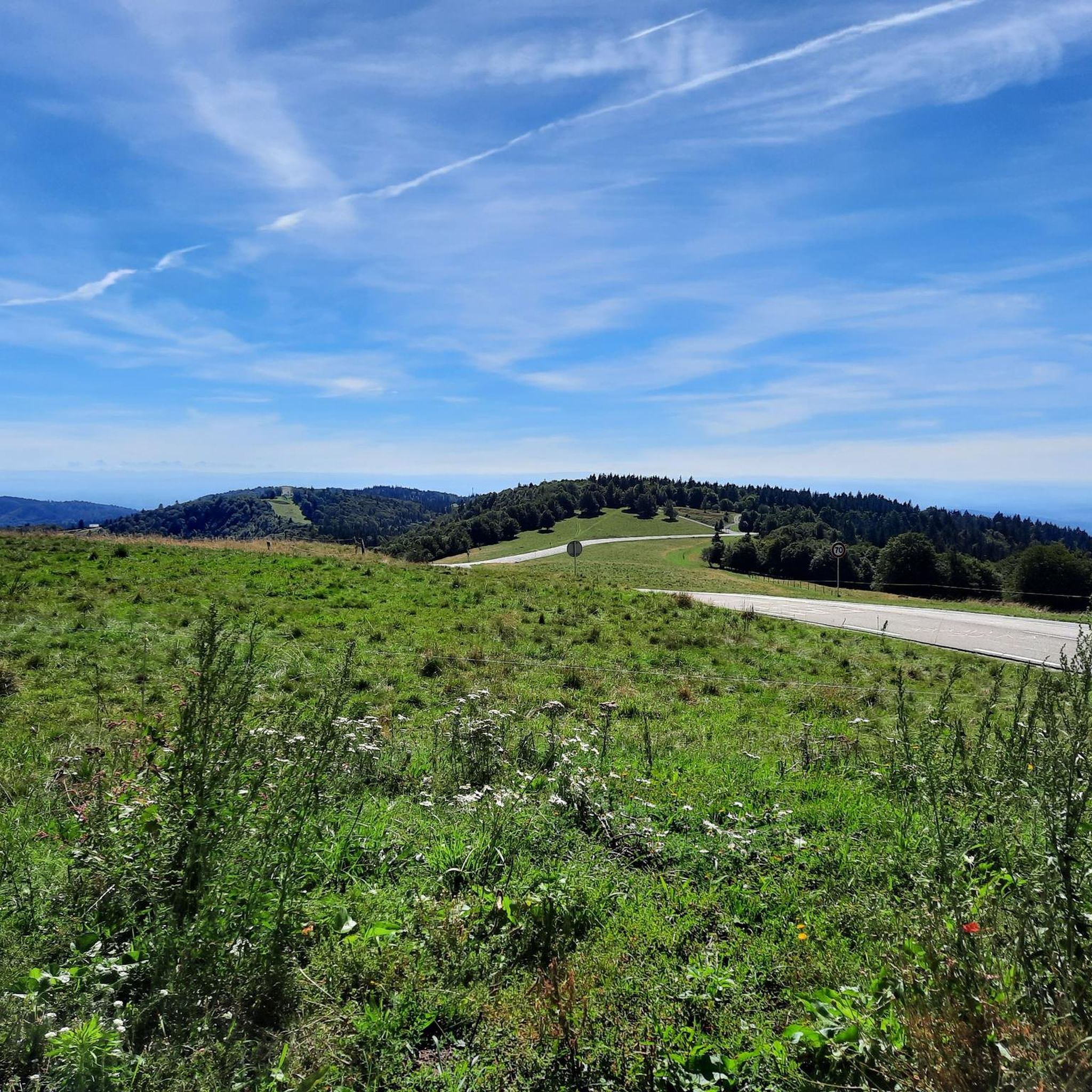
Tips from the Community

This large lake is a popular stop along the cycling routes around Belfort, with beautiful views over the water and the surrounding nature.
6
0
The Étang du Malsaucy (often also called Lac du Malsaucy) is, with an area of 55 hectares, the largest lake in the French department of Territoire de Belfort. It is nestled in the Parc naturel régional des Ballons des Vosges, spread across the municipalities of Évette-Salbert, Lachapelle-sous-Chaux, and Sermamagny. Originally built at the end of the 15th century for fish farming, it is now one of the most important recreational and natural areas in the region.
6
0
A comfortable, car-free and beautiful cycle path to Lac du Malsaucy, one of the most beautiful recreational areas of the Territoire de Belfort.
1
0

very beautiful route!!! drive slowly!! watch out for pedestrians
0
1

Beautiful sculpture and coat of arms of Belfort, below the fortress.
0
0

Very well maintained track, not like the greenway!
0
0

A "chemin de halage", in German "treidelpfad", which runs alongside the waterway right next to the bed of the river or canal, was an indispensable part of the transport infrastructure in earlier times. Before ships could move using motor power, horses ran along the bank and pulled the ship against the current. This was called "treideln", and this is how the "treidelpfads" got their name, which has been passed down to this day. Where these paths directly on the bank have been preserved, they are often used by hikers and cyclists.
0
1

I noticed this highlight during my search. However, it is not on the Haute Saône Canal but on an independent river, the Savoureuse. According to Wikipedia: The Savoureuse is a right tributary of the Allan, around 41 kilometers long, in the French department of Territoire de Belfort in the Bourgogne-Franche-Comté region. It flows through the city of Belfort and drains the western part of the department to the Mediterranean via the Allan, Doubs, Saône and Rhône water system. The Savoureuse catchment area covers an area of around 225 km². The river name comes from the Patois expression savour (saw). https://de.m.wikipedia.org/wiki/Savoureuse
2
0
Frequently Asked Questions
How many gravel bike trails are available around Düringen?
There are over 45 gravel bike trails around Düringen, offering a wide variety of options for different skill levels and preferences.
What kind of terrain can I expect on gravel bike trails in Düringen?
The terrain around Düringen features a mix of natural paths and forest roads. You'll encounter gentle ascents and descents, with some routes offering more significant elevation changes, particularly those exploring the areas around Belfort.
Are there any easy gravel bike routes for beginners in Düringen?
Yes, Düringen offers several easy gravel bike routes. For instance, La porte d'Alsace is an easy 12.7-mile (20.5 km) trail that provides a straightforward ride through the local landscape.
What historical landmarks can I explore on a gravel bike around Düringen?
Many gravel routes in the region incorporate historical sites. You can explore fortifications like the Citadel of Belfort and Fort de Vézelois. The Fort Senarmont, Bessoncourt – Fort de Vézelois loop from Belfort is a great option for combining cycling with historical exploration.
Are there any routes that pass by lakes or offer scenic water views?
Absolutely. The region around Düringen is known for its lakes. You can find routes that lead through areas around Étang du Malsaucy, Véronne Pond, and Étang La Belle Île. The Lac du Malsaucy – Véronne Pond loop from Belfort is a popular choice for lake views.
What is the average difficulty level of gravel biking routes in Düringen?
The routes around Düringen cater to a range of abilities. While there are easy options, the majority of trails are rated as moderate (21 routes) or difficult (19 routes), offering challenges for more experienced riders. Overall, the komoot community rates the routes with an average score of 4.25 stars.
Are there any long-distance gravel cycling routes in the Düringen area?
Yes, for those seeking longer rides, routes like the Lake Malsaucy – Lac du Malsaucy loop from Danjoutin cover approximately 46.4 miles (74.7 km), providing a substantial gravel biking experience with significant elevation changes.
Can I find circular gravel bike routes around Düringen?
Many of the gravel bike routes in Düringen are designed as loops, allowing you to start and end at the same point. Examples include the Fort Senarmont, Bessoncourt – Fort de Vézelois loop from Belfort and the Lac du Malsaucy – Véronne Pond loop from Belfort.
What do other gravel bikers say about the trails in Düringen?
The gravel biking routes around Düringen are highly rated by the komoot community, with an average score of 4.25 stars from over 15 reviews. More than 150 gravel bikers have explored the varied terrain, often praising the mix of natural paths, forest roads, and the integration of historical sites and scenic lakes.
Are there any viewpoints along the gravel bike routes in Düringen?
Yes, some routes offer excellent viewpoints. For example, you might find a Viewpoint overlooking Lake Malsaucy or scenic spots offering a View of the Belfort citadel, providing picturesque breaks during your ride.
What is the typical duration for completing a gravel bike trail in Düringen?
The duration varies significantly by route and your pace. Shorter, easy trails like La porte d'Alsace can be completed in about 1 hour 30 minutes, while longer, more challenging routes such as the Lake Malsaucy – Lac du Malsaucy loop from Danjoutin might take over 5 hours.
Most popular attractions around Düringen

Get inspired with the komoot mobile app


Explore more
Browse the best Gravel rides in other regions.
