The best gravel rides around La Roque-Sainte-Marguerite
4.5
(61)
629
riders
22
rides
Gravel biking around La Roque-Sainte-Marguerite offers a diverse landscape for off-road cycling. The region features significant elevation changes, with routes traversing varied terrain that includes both challenging climbs and scenic paths. This area provides opportunities to explore natural features and rural settings suitable for gravel bike adventures.
Best gravel bike trails around La Roque-Sainte-Marguerite
- The most popular gravel bike trail is Brunas Viewpoint – Cap de Coste Viewpoint loop from La Cavalerie, a 62.6 miles (100.8 km) trail that…
Last updated: October 19, 2026
4.9
(14)
74
riders
53.3km
03:40
860m
860m
Hard gravel ride. Very good fitness required. Mostly paved surfaces. Suitable for all skill levels.
4.7
(6)
29
riders
47.3km
03:19
820m
810m
Hard gravel ride. Very good fitness required. Mostly paved surfaces. Suitable for all skill levels.

5.0
(4)
24
riders
50.8km
03:33
1,030m
1,030m
Hard gravel ride. Very good fitness required. Mostly paved surfaces. Suitable for all skill levels.
5.0
(2)
9
riders
20.9km
01:28
190m
190m
Moderate gravel ride. Good fitness required. Mostly paved surfaces. Suitable for all skill levels.
5.0
(1)
20
riders
84.5km
06:08
1,450m
1,450m
Hard gravel ride. Very good fitness required. Mostly paved surfaces. Suitable for all skill levels.
Get access to more routes and recommendations from other explorers.
Already have an account?
Our route recommendations are based on thousands of hikes, rides, and runs completed by other people on komoot.
Start today with a free account
Your next adventure awaits.
Popular around La Roque-Sainte-Marguerite
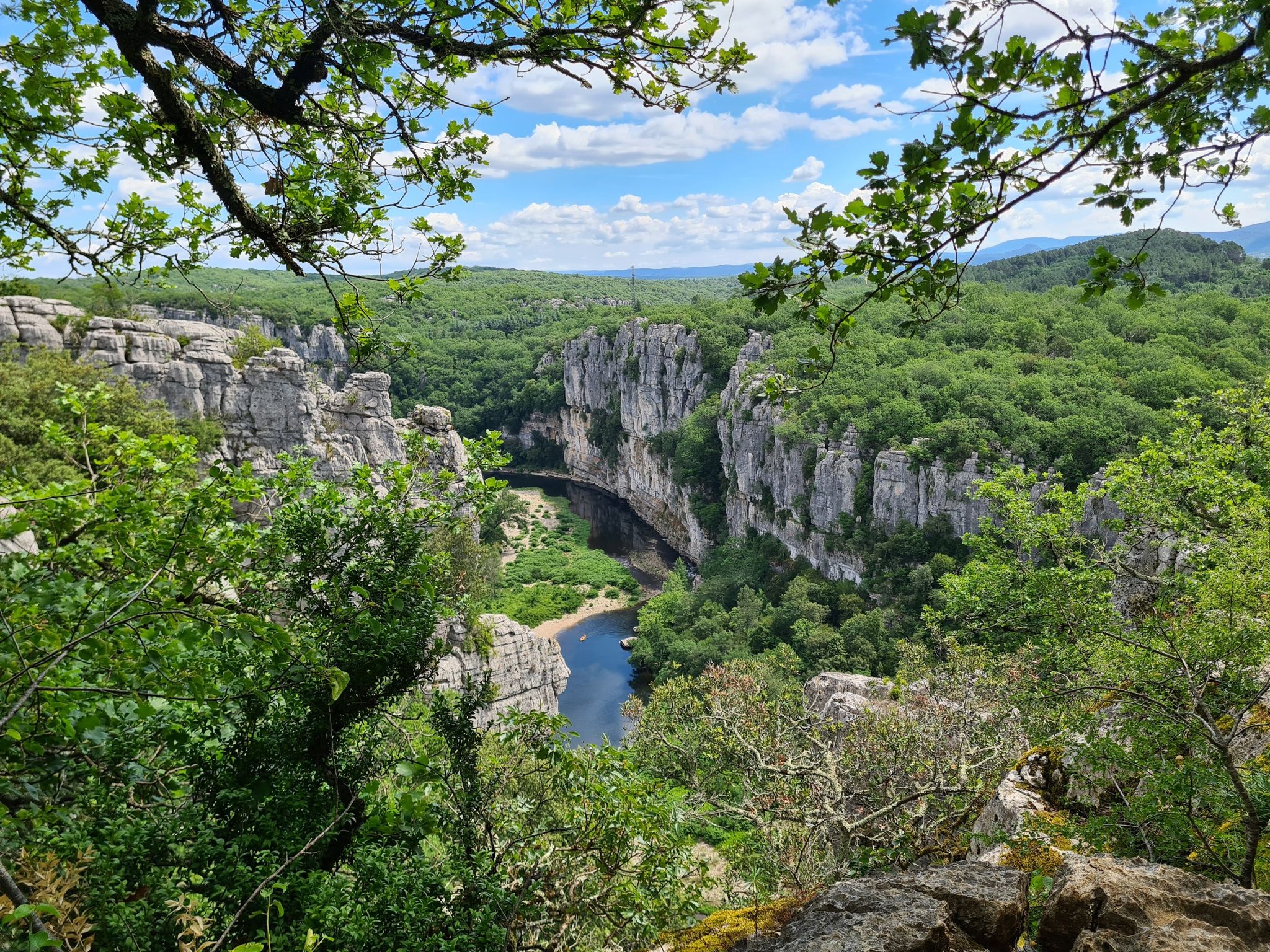
Hexatrek – The Cévennes to the Pyrenees between gorges and limestone plateau
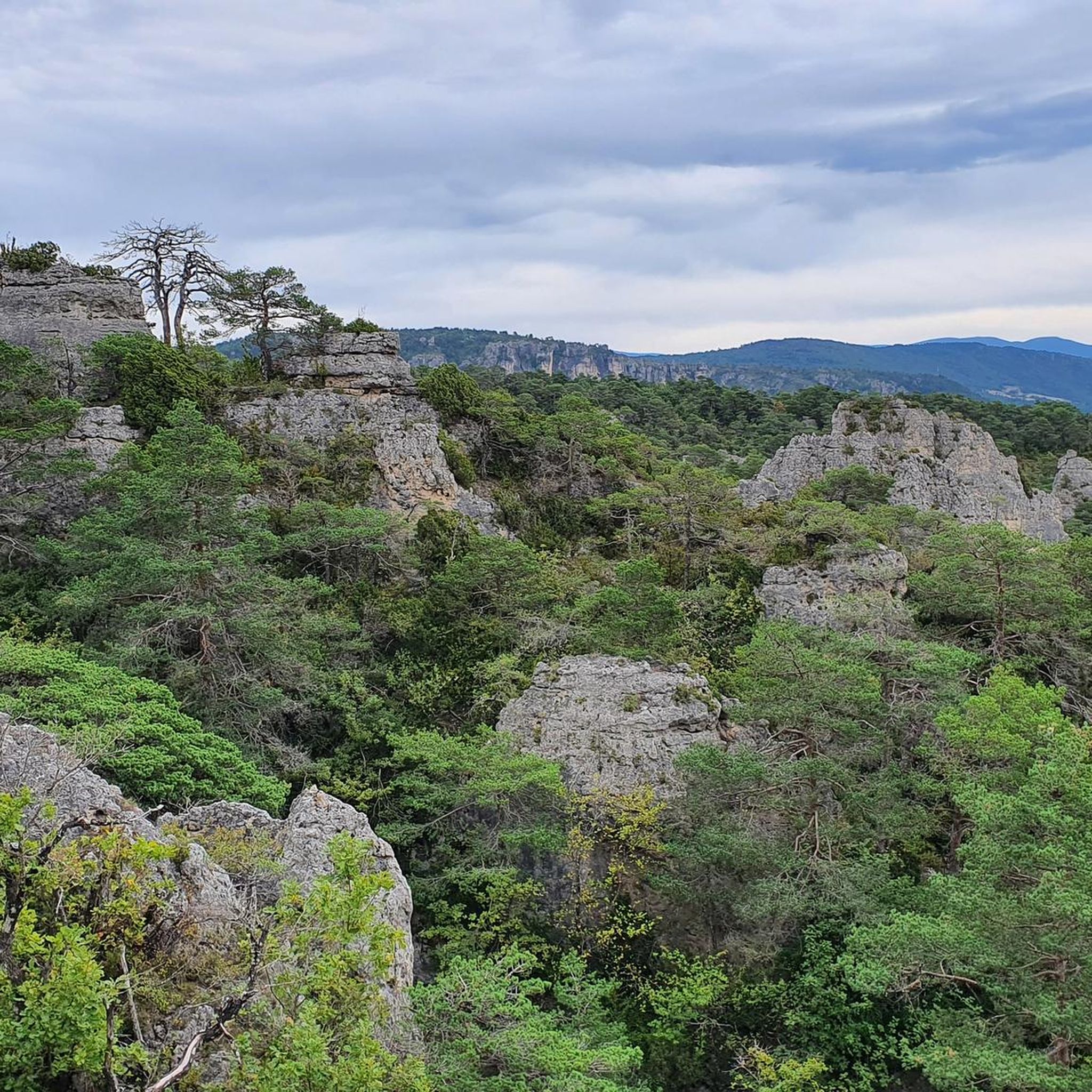
Hiking around La Roque-Sainte-Marguerite
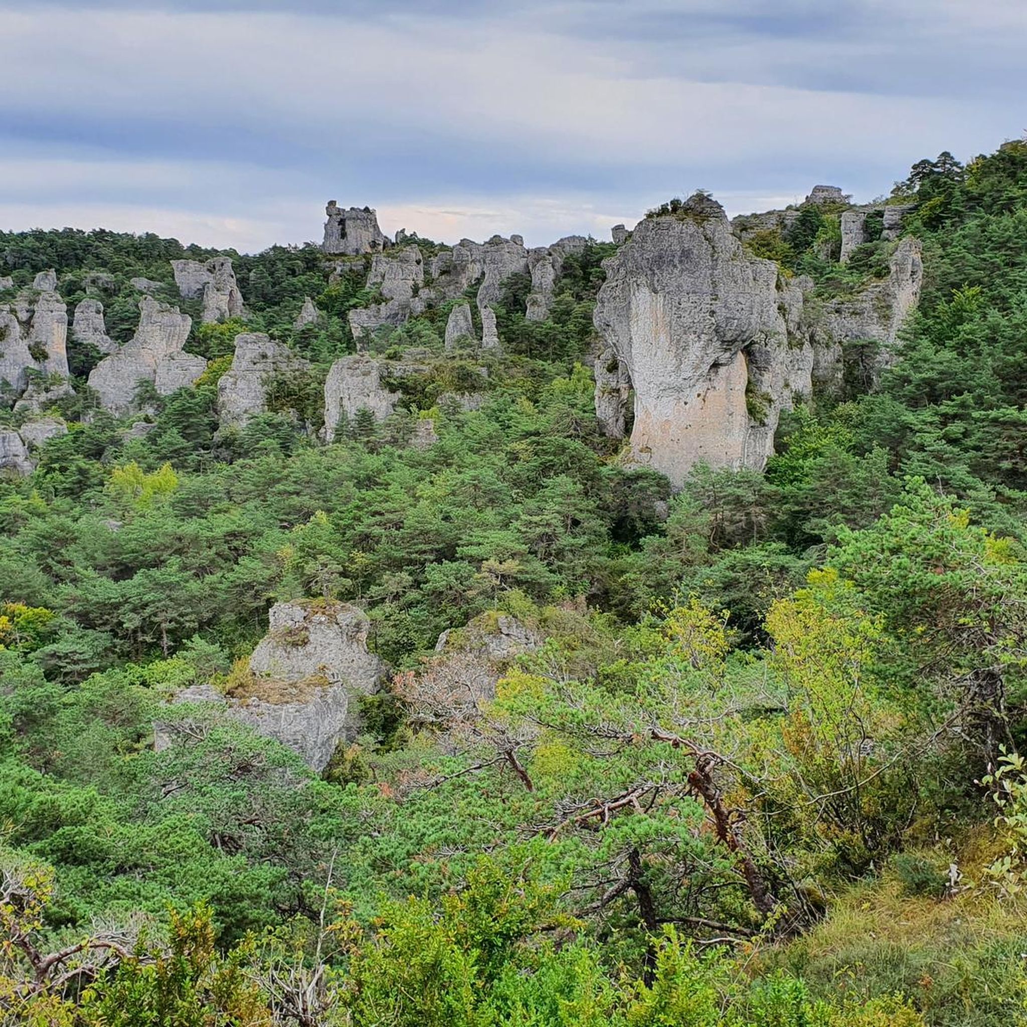
MTB Trails around La Roque-Sainte-Marguerite
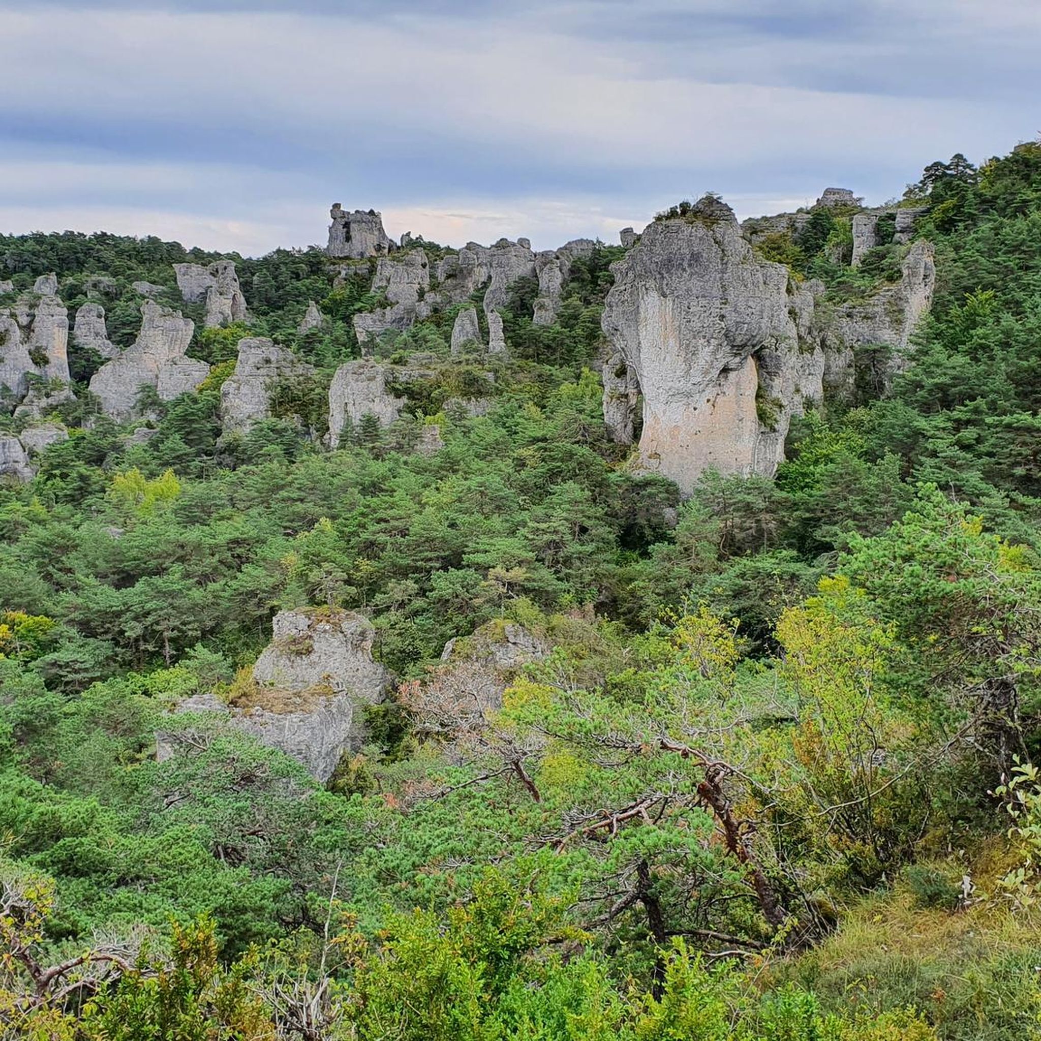
Road Cycling Routes around La Roque-Sainte-Marguerite
Running Trails around La Roque-Sainte-Marguerite
Cycling around La Roque-Sainte-Marguerite

Mountain Hikes around La Roque-Sainte-Marguerite
Other adventures around La Roque-Sainte-Marguerite

Tips from the Community

In the heart of Creissels, the Pesquié basin forms a surprisingly vast body of water (1,000 m²) compared to the modest stream that feeds it. Its name, which comes from Occitan and means "fish pond", recalls the ancient purpose of the place, linked to fish farming. The town hall now occupies the premises of a former fish farm. The basin is fed by the Creissels waterfall, a typical resurgence of the karst functioning of the Larzac: the water infiltrated into the limestones of the plateau reappears after an underground journey. In September 2023, the municipality dredged the basin and created a spawning ground for brown trout (Salmo trutta). The restoration has borne fruit, as trout have since recolonized the body of water, alongside amphibians and other aquatic organisms that find refuge in the surrounding wetland.
2
0
From the Larzac plateau, the Brunas site offers a vast panorama of the Millau valley. Stretched between the two banks of the Tarn, the viaduct with its seven concrete piers appears in its entirety. Behind it unfolds the entire causse Rouge, a large limestone plateau whose undulations dominate the valley. Then, the Puech d’Andan is distinguished by its wooded silhouette, cut in two by a clear central notch. Further to the right stands the Pouncho d'Agast, a pyramidal promontory marking the beginning of the causse Noir at an altitude of 841 m. Brunas is also a true site for free flight. The take-off area is located directly on the plateau; the site is mainly used with a north wind and allows paragliders to take off and then land in the vicinity of the same sector, with approximately 370 m of elevation difference down to the valley. The spectacle of the sails evolving in front of the viaduct adds a particular dimension to this panorama.
3
0
Perché at an altitude of approximately 730 meters, the Cap de Coste viewpoint overlooks the eastern end of the Boundoulaou cirque. It reveals a vast panorama of the Millau basin and its surrounding massifs. To the left, the easily recognizable Millau Viaduct spans the Tarn valley, connecting the Larzac to the Causse Rouge. Further to the right stretches the latter: a large limestone plateau whose undulations dominate the valley. Then, the Puech d’Andan stands out with its wooded silhouette, cut in two by a clear central notch. Finally, further away, the Pouncho d’Agast, an emblematic relief of the Causse Noir, is easily recognized by its profile like a true limestone pyramid.
3
0
On the Maladrerie, the Parc Aquavagues transforms an arm of the Tarn into a real whitewater stadium. Over about 300 m, waves, currents and counter-currents allow for kayaking, rafting and hydrospeed, up to the training of experienced practitioners and competitions.
2
0
Behind its perfectly preserved ramparts lies an astonishing Templar heritage. Founded in the 12th century, the commandery of Saint-Eulalie-de-Cernon was a strategic center of the Order of the Temple on the Larzac. A remarkably preserved village!
2
0

As a local and a cyclist, I can confirm that the scenery is magnificent and the small roads are ideal for cycling, provided you avoid the peak period from July 15th to August 15th. However, I regret that you only mention the village of Le Rozier in the route descriptions, while the photos are mostly of Peyreleau, a superb, unspoiled village, away from the traffic of the gorges, which it faces on the other side of the Jonte River! Note: Le Rozier is in Lozère, while Peyreleau is in Aveyron.
0
0

One of many beautiful views in the Tarn Valley
1
0
Here, water is tapped from the Tarn to irrigate a forest watercourse.
0
0
Frequently Asked Questions
How many gravel bike trails are available around La Roque-Sainte-Marguerite?
There are over 20 gravel bike trails documented around La Roque-Sainte-Marguerite, offering a variety of options for different skill levels and preferences.
What are the difficulty levels of gravel bike trails in this area?
The trails around La Roque-Sainte-Marguerite range from moderate to difficult. You'll find 7 moderate routes and 16 difficult routes, with only 1 easy option, indicating a focus on more challenging terrain with significant elevation changes.
Are there any easy gravel bike trails suitable for beginners?
While most routes are moderate to difficult, there is at least one easy gravel bike trail available. For a less strenuous ride, consider exploring the shorter, less elevated sections or local paths that connect villages.
Can I find challenging long-distance gravel routes in the region?
Yes, the region offers several challenging long-distance routes. For example, the Brunas Viewpoint – Cap de Coste Viewpoint loop from La Cavalerie is a difficult 62.6-mile (100.8 km) trail with over 1600 meters of elevation gain, typically taking around 8 hours 44 minutes to complete.
Are there circular gravel bike routes available?
Many of the gravel bike routes in La Roque-Sainte-Marguerite are designed as loops, allowing you to start and finish at the same point. Examples include the Le Rozier – Peyrelau Village loop from Mostuéjouls and the Flowtrail – Former Cade farm loop from Parking du Haut de Côte.
What are some scenic viewpoints or attractions along the gravel trails?
The trails often pass by stunning natural features and viewpoints. You can discover highlights such as Capluc Rock, Le Roc Nantais, and the View from Pouncho d'Agast. Other unique natural monuments include the Vase de Sèvres and Vase de Chine.
Where can I park my car when gravel biking in La Roque-Sainte-Marguerite?
Parking is available at various starting points for the trails. For instance, the Flowtrail – Former Cade farm loop specifically mentions starting from Parking du Haut de Côte, indicating designated parking areas are present for many routes.
What is the best season for gravel biking around La Roque-Sainte-Marguerite?
The best seasons for gravel biking are typically spring and autumn, when temperatures are milder and the landscapes are vibrant. Summer can be quite hot, especially in the middle of the day, while winter might bring colder conditions and potentially some snow at higher elevations, though many lower routes remain accessible.
How long do gravel bike trails near La Roque-Sainte-Marguerite typically take?
Trail durations vary significantly based on distance and difficulty. Shorter, moderate routes like the Flowtrail – Former Cade farm loop can be completed in about 2 hours 15 minutes, while longer, difficult trails such as the Millau Viaduct loop from Le Moulin Haut can take over 8 hours.
What should I bring for gravel riding in this area?
Given the varied terrain and significant elevation changes, it's advisable to bring appropriate gear including a well-maintained gravel bike, helmet, repair kit, sufficient water, snacks, and navigation tools. Layered clothing is recommended due to potential weather changes, especially when gaining elevation.
What do other gravel bikers say about the trails in La Roque-Sainte-Marguerite?
The gravel biking routes in La Roque-Sainte-Marguerite are highly rated by the komoot community, with an average score of 4.9 stars from over 40 reviews. Riders often praise the diverse landscapes, challenging climbs, and the scenic paths connecting viewpoints and villages.
Are there options for family-friendly gravel cycling?
While many routes feature significant elevation and are rated moderate to difficult, families with older children or those seeking a gentler ride might look for the single easy route available or explore shorter, less technical sections of the moderate trails. Always check the route details for elevation and surface type to ensure it suits your family's ability.
Most popular routes around La Roque-Sainte-Marguerite
Most popular attractions around La Roque-Sainte-Marguerite

Get inspired with the komoot mobile app


Explore more
Browse the best Gravel rides in other regions.
