The best gravel rides around Saint-Julien-En-Vercors
4.5
(41)
358
riders
51
rides
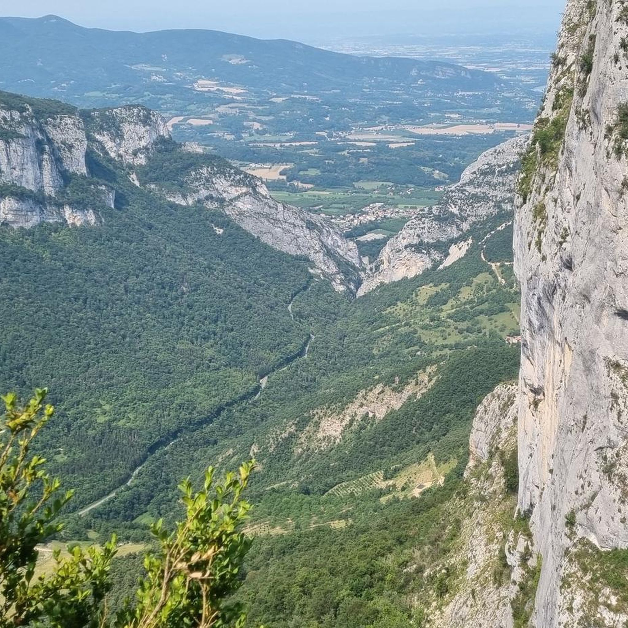
Gravel biking around Saint-Julien-En-Vercors offers diverse terrain within the Vercors Regional Natural Park. The region is characterized by its limestone plateaus, deep gorges, and extensive forests, providing varied surfaces for gravel cyclists. Elevation changes are common, with routes traversing both valleys and higher ground. The landscape combines open plains with wooded sections, suitable for off-road cycling.
Best gravel bike trails around Saint-Julien-En-Vercors
- The most popular gravel bike trail is Plaine d'Herbouilly – Col d'Herbouilly loop from Villard-de-Lans, a 30.1…
Last updated: August 26, 2026
5.0
(1)
25
riders
27.8km
02:15
580m
580m
Hard gravel ride. Very good fitness required. Mostly paved surfaces. Suitable for all skill levels.
4.6
(5)
28
riders
47.6km
03:58
1,310m
1,310m
Hard gravel ride. Very good fitness required. Mostly paved surfaces. Suitable for all skill levels.

Sign up for free
4.7
(3)
23
riders
Hard gravel ride. Very good fitness required. Mostly paved surfaces. Suitable for all skill levels.
3.9
(8)
29
riders
42.5km
02:32
600m
600m
Hard gravel ride. Very good fitness required. Mostly paved surfaces. Suitable for all skill levels.
12
riders
28.2km
02:24
660m
660m
Hard gravel ride. Very good fitness required. Mostly paved surfaces. Suitable for all skill levels.
Get access to more routes and recommendations from other explorers.
Sign up for free
Already have an account?
Our route recommendations are based on thousands of hikes, rides, and runs completed by other people on komoot.
Start today with a free account
Your next adventure awaits.
Login or Signup

Tips from the Community

Autrans-Méaudre en Vercors is a new commune, born from the fusion of the villages of Autrans and Méaudre on January 1, 2016.
0
0
Autrans-Méaudre en Vercors is a new commune, born from the fusion of the villages of Autrans and Méaudre on January 1, 2016.
0
0
The trail runs for 3.2 km between the two municipalities, with a section on stilts to preserve the wetland; the second part is a forest track in the middle of the woods. The river is crossed by secure footbridges.
0
0
The trail covers 3.2 km between the two towns, with a section on stilts to preserve the wetland; the second part is a forest track in the middle of the woods. The river is crossed by secure footbridges.
0
0
The path runs for 3.2 km between the two municipalities, with a part on stilts to preserve the wetland; the second part is a forest track in the middle of the woods. The river is crossed thanks to secure footbridges.
0
0
Valchevrière, a place of silence and contemplation, is one of the most moving and evocative sites of the Resistance in Vercors. This hamlet, deep in the forest, served as a camp for the maquisards before becoming the scene of a severe confrontation on July 22 and 23, 1944. On the belvedere overlooking the village, men sacrificed themselves to slow the advance of the Nazi armies and died with weapons in hand. The houses were then set on fire, only the chapel was spared. The hamlet has remained as it was, with its bare stones blackened by fire. A Stations of the Cross, each station of which is an original structure, connects Villard de Lans to Valchevrière.
0
0
Valchevrière, a place of silence and contemplation, is one of the most moving and evocative sites of the Resistance in Vercors. This hamlet, deep in the forest, served as a camp for the maquisards before being the scene of a severe confrontation on July 22 and 23, 1944. On the belvedere overlooking the village, men sacrificed themselves to delay the advance of the Nazi armies and died with weapons in hand. The houses were then set on fire, only the chapel was spared. The hamlet has remained as it was, with its bare stones blackened by fire. A Stations of the Cross, each station being an original edifice, connects Villard de Lans to Valchevrière.
0
0
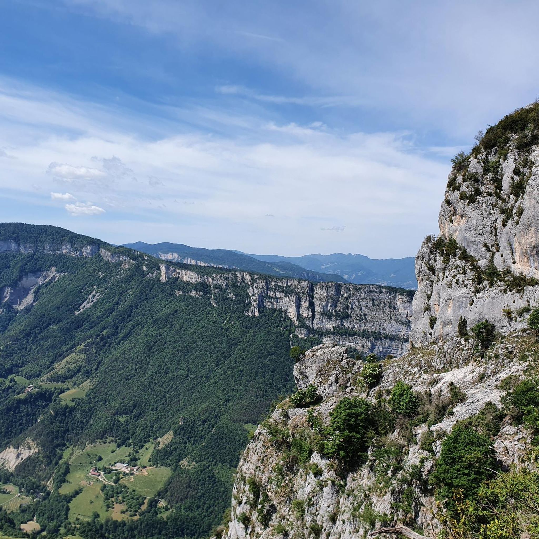
At altitude and surrounded by forest, the Chateau-Julien plateau will lead you to its magnificent viewpoint.
0
0
Frequently Asked Questions
How many gravel bike trails are available around Saint-Julien-En-Vercors?
There are over 60 gravel bike routes in the Saint-Julien-En-Vercors area, offering a wide range of options for cyclists. The majority of these routes are rated as difficult, with 47 challenging trails, 18 moderate, and a few easier options.
Are there any easy gravel bike trails suitable for beginners or families in Saint-Julien-En-Vercors?
While many routes in the Vercors are challenging, there are a few easier options. For a moderate ride, consider the Lans-en-Vercors – ViaVercors via Lans-en-Vercors loop from Villard-de-Lans, which covers about 20 kilometers with less elevation gain. This area is known for its diverse terrain, so even easier routes might have varied surfaces.
What is the best season for gravel biking in Saint-Julien-En-Vercors?
The Vercors Regional Natural Park is generally best for gravel biking from late spring through early autumn. During these months, the weather is more stable, and trails are typically clear of snow and ice, which can affect higher elevations and shaded sections in winter. Always check local weather conditions before heading out.
Are there any challenging gravel bike routes for experienced riders?
Yes, Saint-Julien-En-Vercors is well-known for its challenging gravel routes. A popular difficult option is the Plaine d'Herbouilly – Col d'Herbouilly loop from Villard-de-Lans, which spans over 48 kilometers and features significant climbs across open plateaus. Another demanding ride is the ViaVercors via Lans-en-Vercors – The Méaudret gorges loop from Rencurel, navigating through scenic gorges.
Can I find circular gravel bike routes in the area?
Many of the gravel bike trails around Saint-Julien-En-Vercors are designed as loops, allowing you to start and finish at the same point. For example, the Plateau de Château Julien – Plaine d'Herbouilly loop from Pied des Pistes offers a 28-kilometer circular ride through plateaus and open plains.
What kind of scenery can I expect on gravel bike trails in Saint-Julien-En-Vercors?
The region offers diverse and scenic landscapes. You'll ride through limestone plateaus, dense forests, and deep gorges like the Méaudret gorges. Expect a mix of open plains and wooded sections, with routes often providing panoramic views of the Vercors mountains. The area is within a Regional Natural Park, ensuring a natural and preserved environment.
Are there any interesting viewpoints or natural attractions along the gravel routes?
Yes, the Vercors region is rich in natural beauty. You can find stunning viewpoints and geological formations. Consider exploring highlights like the Combe Laval Cirque, a spectacular gorge, or the Ranc Viewpoint for expansive vistas. The area also features several mountain passes, such as the Machine Pass, which offer memorable cycling experiences and views.
What do other gravel bikers say about the trails in Saint-Julien-En-Vercors?
The gravel biking routes in Saint-Julien-En-Vercors are highly regarded by the komoot community, with an average rating of 4.6 stars from over 60 reviews. Cyclists often praise the diverse terrain, the stunning natural beauty of the Vercors Regional Natural Park, and the challenging yet rewarding climbs.
Is it possible to find cafes or places to refuel near the gravel trails?
While specific cafes directly on every trail might be limited due to the natural park setting, routes often pass through or near villages like Villard-de-Lans, Rencurel, or Lans-en-Vercors. These towns provide opportunities to find cafes, bakeries, and restaurants to refuel before, during, or after your ride.
What are the typical distances and durations for gravel bike routes in this area?
Gravel bike routes in Saint-Julien-En-Vercors vary significantly in length and duration. You can find shorter rides, such as the moderate 20-kilometer Lans-en-Vercors – ViaVercors loop, which takes around 1 hour 20 minutes. Longer, more challenging routes like the ViaVercors – The Vercors Way loop from Villard-de-Lans can be over 35 kilometers and take around 2 hours 50 minutes, depending on your pace and elevation.
Are there opportunities for wild swimming after a gravel ride in Saint-Julien-En-Vercors?
The Vercors region features rivers and natural pools, particularly in the lower valleys and gorges. While specific designated wild swimming spots directly adjacent to gravel trails might require a short detour, areas like the Méaudret gorges or other river sections could offer opportunities for a refreshing dip, especially during warmer months. Always check local regulations and safety before swimming in natural waters.
Most popular routes around Saint-Julien-En-Vercors
Most popular attractions around Saint-Julien-En-Vercors

Get inspired with the komoot mobile app


Explore more
Browse the best Gravel rides in other regions.
