The best gravel rides around Escautpont
4.5
(70)
387
riders
57
rides
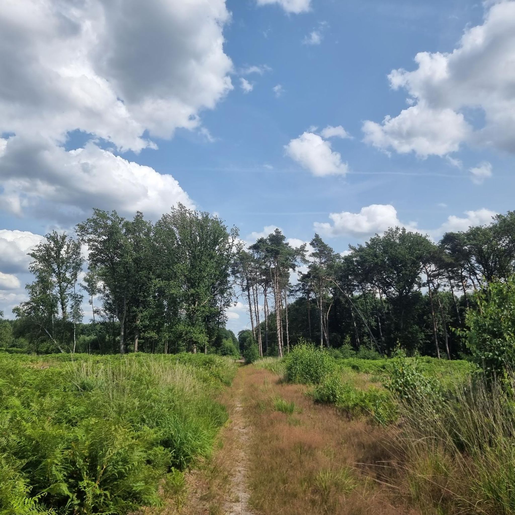
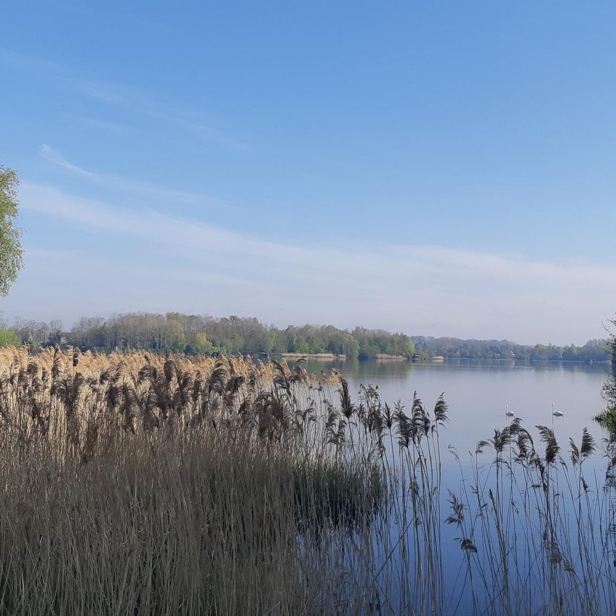
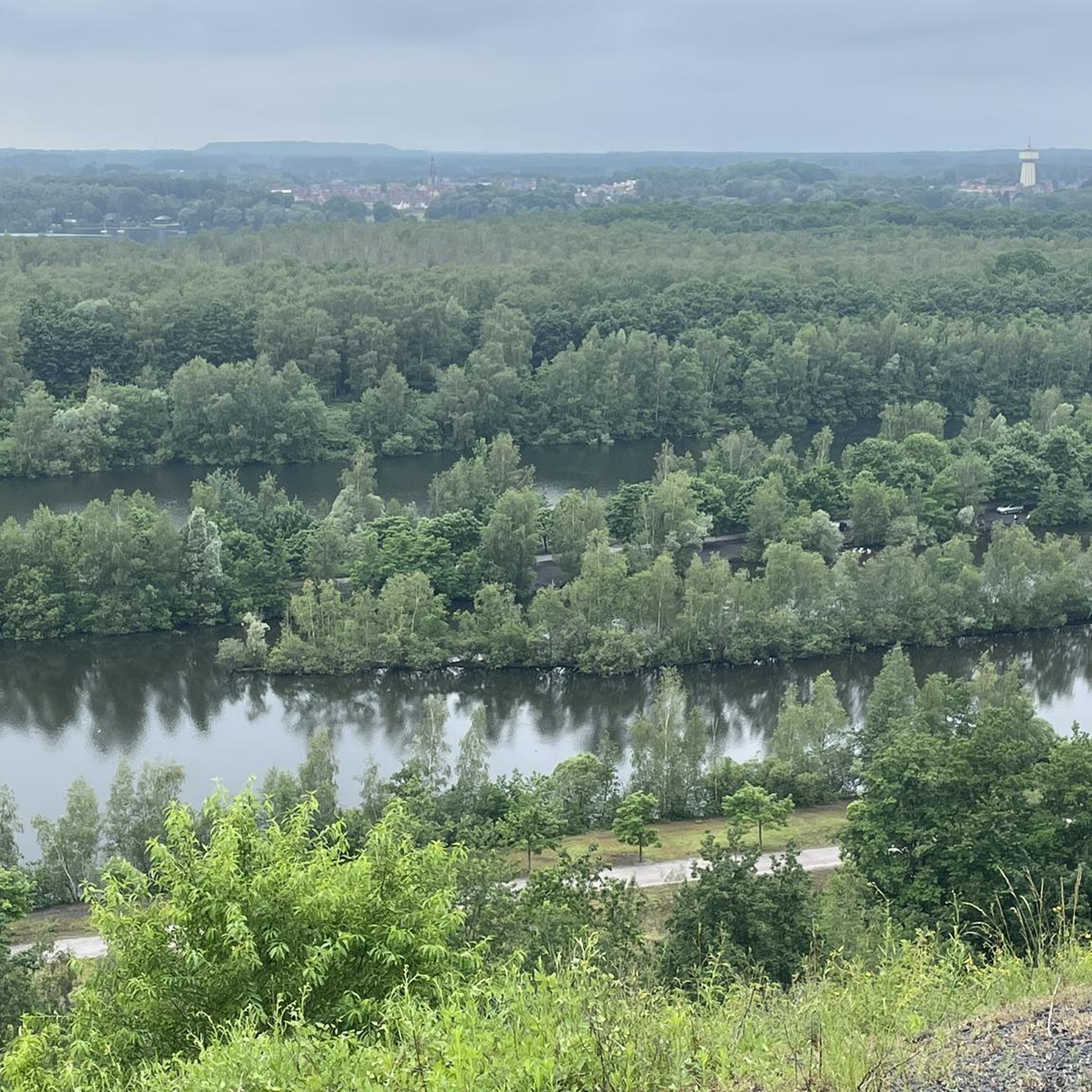
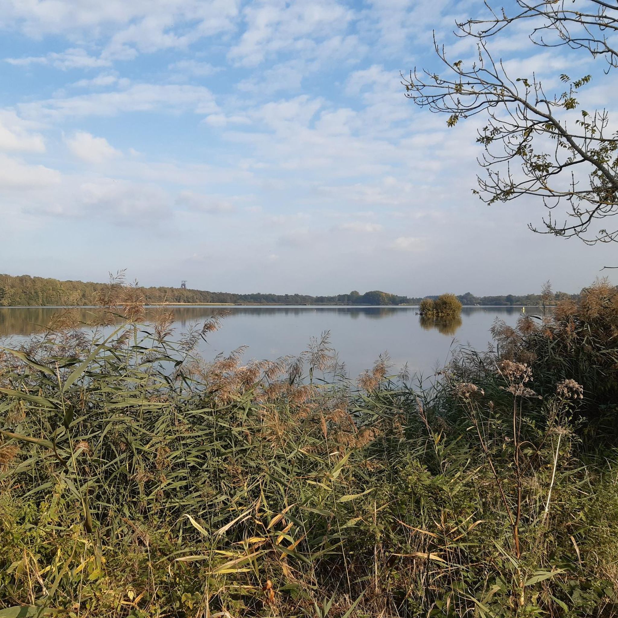
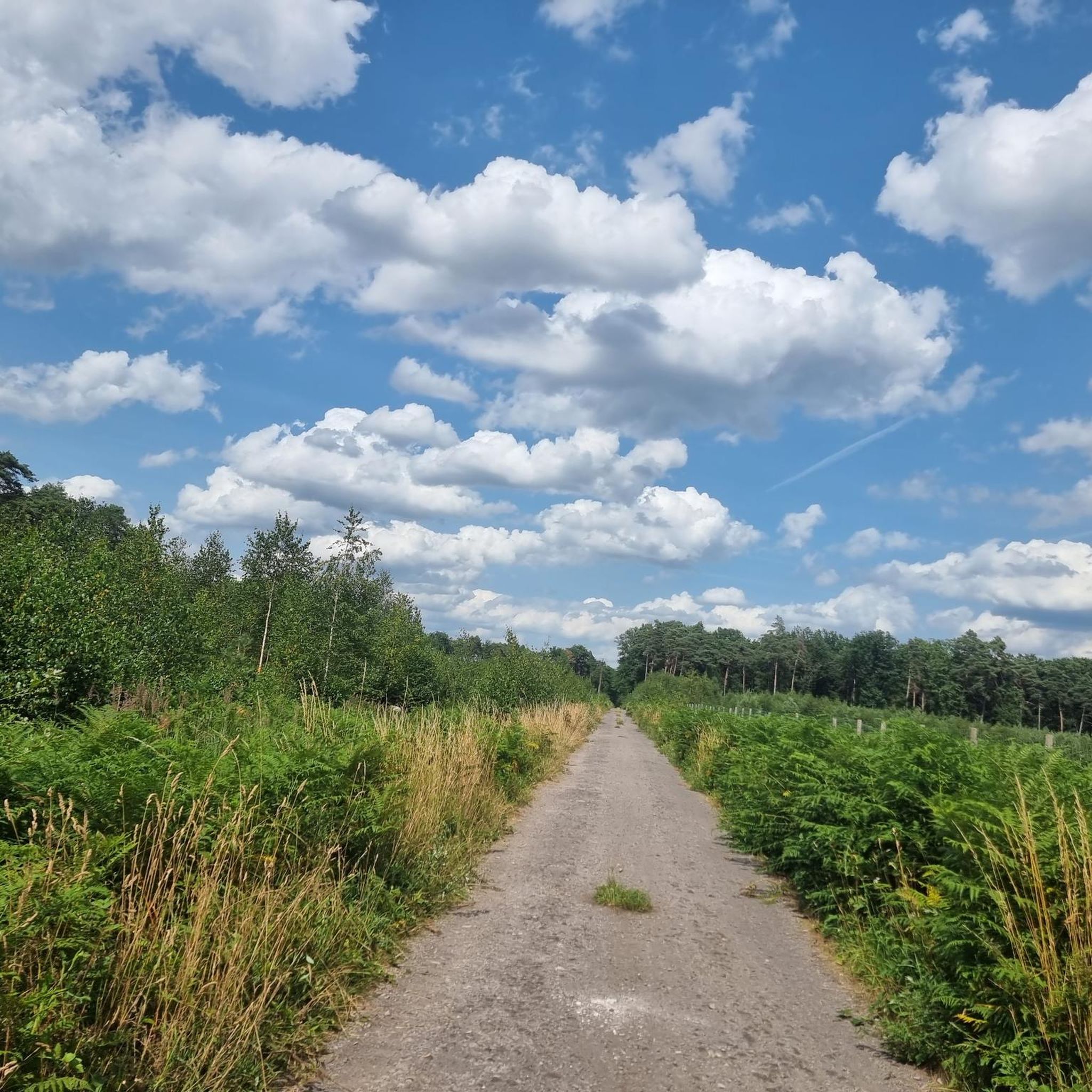
Gravel biking around Escautpont offers diverse terrain within the Scarpe-Escaut Regional Nature Park. The region features a mix of riverside paths, forest roads, and trails winding through lush woodlands. Cyclists can also explore areas around numerous ponds and marshlands, as well as repurposed former mining landscapes. The varied topography provides options for different skill levels, from flat sections along waterways to routes with gentle elevation changes.
Best gravel bike trails around Escautpont
- The most popular gravel bike trail is Étang…
Last updated: July 8, 2026
4.4
(24)
46
riders
48.0km
02:41
140m
140m
Moderate gravel ride. Good fitness required. Mostly paved surfaces. Suitable for all skill levels.
4.3
(12)
33
riders
52.9km
03:18
150m
150m
Moderate gravel ride. Good fitness required. Mostly paved surfaces. Suitable for all skill levels.

Sign up for free
5.0
(2)
32
riders
49.8km
02:26
100m
100m
Moderate gravel ride. Good fitness required. Mostly paved surfaces. Suitable for all skill levels.
5.0
(2)
14
riders
77.8km
04:13
210m
210m
Moderate gravel ride. Good fitness required. Mostly paved surfaces. Suitable for all skill levels.
4.8
(6)
19
riders
Easy gravel ride. Great for any fitness level. Mostly paved surfaces. Suitable for all skill levels.
Get access to more routes and recommendations from other explorers.
Sign up for free
Already have an account?
Our route recommendations are based on thousands of hikes, rides, and runs completed by other people on komoot.
Start today with a free account
Your next adventure awaits.
Login or Signup
Tips from the Community

The train station is undergoing a complete renovation to restore its former glory. All the information: https://www.fresnes-sur-escaut.fr/travaux/requalification-de-la-gare-des-houilleres
0
0


Enjoy nature instead of the hustle and bustle.
0
0


Very convenient, tram line 2 passes right in front of Valenciennes train station. 1.5 hours from Paris
0
0


great route organized by the tourist office this Sunday, June 15, 2025, with stops at interesting places of passage (bird viewpoint, headframe, Conde monuments)
1
0
Frequently Asked Questions
What kind of terrain can I expect on gravel bike trails around Escautpont?
The gravel bike trails around Escautpont, located within the Scarpe-Escaut Regional Nature Park, offer a diverse mix of terrain. You'll find picturesque riverside paths and towpaths along the Scarpe and Escaut rivers, forest roads and trails through woodlands like the Marchiennes forest, and routes around numerous ponds and marshlands. The region also incorporates former mining landscapes, providing unique topographical features and viewpoints.
How many gravel bike routes are available in the Escautpont area?
There are over 60 gravel bike routes available around Escautpont. These routes cater to various skill levels, with 15 easy, 35 moderate, and 16 difficult options to choose from.
Are there any easy gravel bike routes suitable for beginners or families?
Yes, there are several easy gravel bike routes. An excellent option for families or beginners is the Terril de Condé-Macou – Étang Chabaud-Latour loop from Valenciennes. This 35 km route combines views of a former mining slag heap with tranquil lake scenery and is rated as easy.
What are some scenic highlights or natural attractions to see along the gravel routes?
Many gravel routes pass by significant natural attractions. You can explore areas around the Étang Chabaud-Latour, the Goriaux Pond, and Lake Bernissart. The Marais d'Harchies-Hensies-Pommerœul Nature Reserve is also a highlight, known for its extensive reed beds and diverse birdlife.
Are there any circular gravel bike routes around Escautpont?
Yes, many routes are designed as loops. For example, the Étang Chabaud-Latour – Lake view loop from Thivencelle is a popular moderate 47.9 km circular route offering scenic views. Another option is the Scarpe towpath – Towpath of the Scarpe loop from Raismes, a 49.8 km loop through riverside landscapes.
What is the best time of year for gravel biking in Escautpont?
The Hauts-de-France region, where Escautpont is located, is generally pleasant for gravel biking from spring through autumn. The natural landscapes, including forests and riverside paths, are particularly beautiful during these seasons. While winter riding is possible, be prepared for potentially muddy conditions on unpaved sections.
Can I find routes that incorporate former mining landscapes?
Absolutely. The region's industrial past has been repurposed for recreation. Routes like the Terril de Condé-Macou – Étang Chabaud-Latour loop from Valenciennes offer views of former mining slag heaps. The The Arenberg gap – Arenberg Creative Mine loop from Beuvrages also integrates historical mining elements into its challenging 75.2 km route.
What do other gravel bikers say about the routes in Escautpont?
The gravel routes in Escautpont are highly rated by the komoot community, with an average score of 4.6 stars from over 70 reviews. Reviewers often praise the varied terrain, the peaceful natural settings, and the well-integrated historical elements of the former mining landscapes.
Are there any longer or more challenging gravel bike routes for experienced riders?
Yes, for experienced riders seeking a challenge, there are several difficult and longer routes. The The Arenberg gap – Arenberg Creative Mine loop from Beuvrages is a difficult 75.2 km route. Another longer option is the Towpath of the Scarpe – Marchiennes State Forest loop from Valenciennes, a moderate 77.8 km route that takes you through extensive forest and along the Scarpe towpath.
Is it possible to access the gravel trails using public transport?
While specific public transport connections directly to trailheads can vary, the Scarpe-Escaut Regional Nature Park is generally accessible. Many routes, especially those following greenways like the Gueules Noires Greenway or towpaths, can often be reached from towns with public transport links. It's advisable to check local bus or train schedules to nearby towns like Valenciennes or Raismes, which serve as starting points for several routes.
Are there places to stop for food or drinks along the gravel routes?
The region features charming villages and towns within and around the Scarpe-Escaut Regional Nature Park. While specific cafes or pubs directly on every trail may be limited, many routes pass through or near settlements where you can find places to refuel. Planning your route with potential stops in mind is recommended.
Where can I find parking for gravel biking trails near Escautpont?
Parking is generally available in the towns and villages that serve as starting points for the gravel routes. For example, routes starting from Thivencelle, Valenciennes, Raismes, or Beuvrages will have designated parking areas. It's best to check the specific route details on komoot for recommended starting points and parking information.
Most popular routes around Escautpont
Most popular attractions around Escautpont

Get inspired with the komoot mobile app


Explore more
Browse the best Gravel rides in other regions.
